10/27 - Rob's "Sunny & Cool" Thursday Morning Forecast
The next in a series of upper disturbances extended from the Canadian Prairie Provinces to near Salt Lake City to Baja California. This is beginning to turn…
The next in a series of upper disturbances extended from the Canadian Prairie Provinces to near Salt Lake City to Baja California. This is beginning to turn…
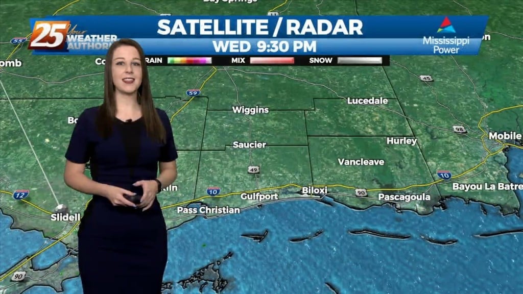
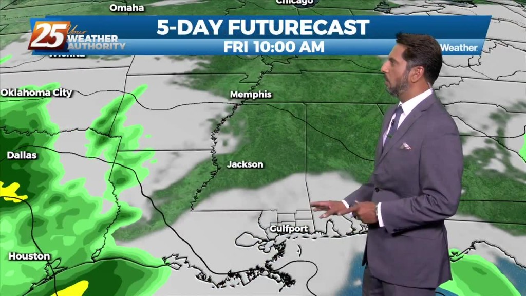
The upper flow is expected to remain zonal across the area today and tonight before the Pacific Coast disturbance reaches the southern Rockies tomorrow. This will cause the upper…
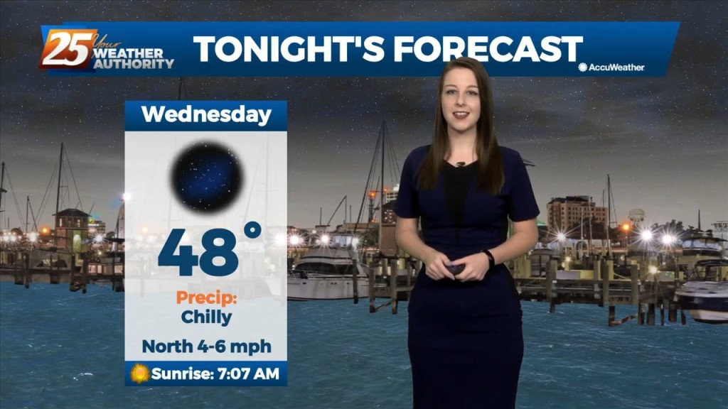
High pressure will continue to bring in a colder drier air mass which will begin to modify Thursday afternoon/evening. The upper flow is expected to remain zonal…
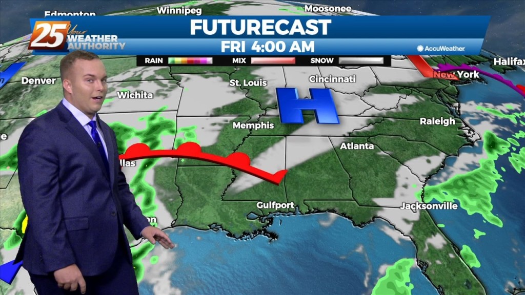
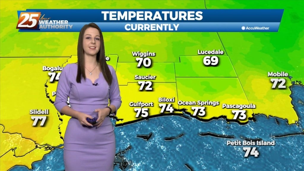
Today features drier and cooler conditions for our area. High pressure to our northwest is in control of the pattern behind yesterday’s cold frontal passage. Sunny skies, highs in the mid-70s…
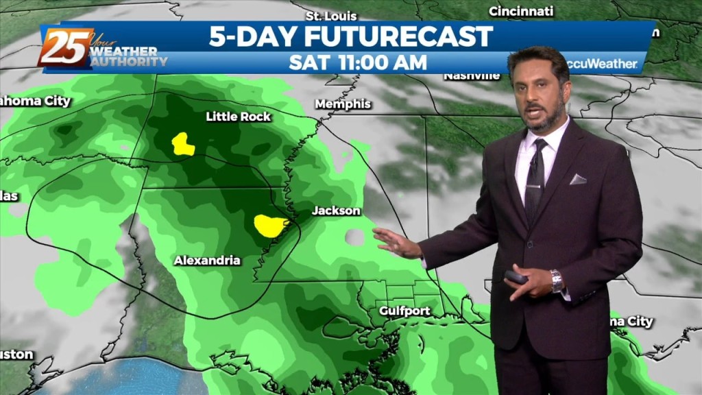
A cold front east of the area continue to move east as high pressure to the NW will shape the short term forecast. Most of the…
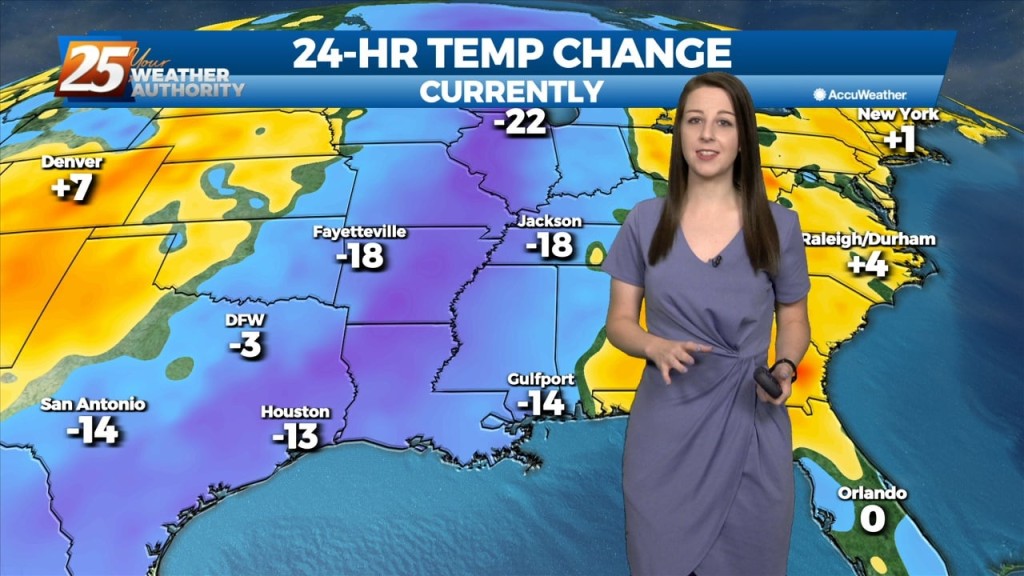
The front is now east of the area and skies are clear. Dry weather is on-tap for tonight and Wednesday with cooler temperatures. Wednesday night and Thursday…
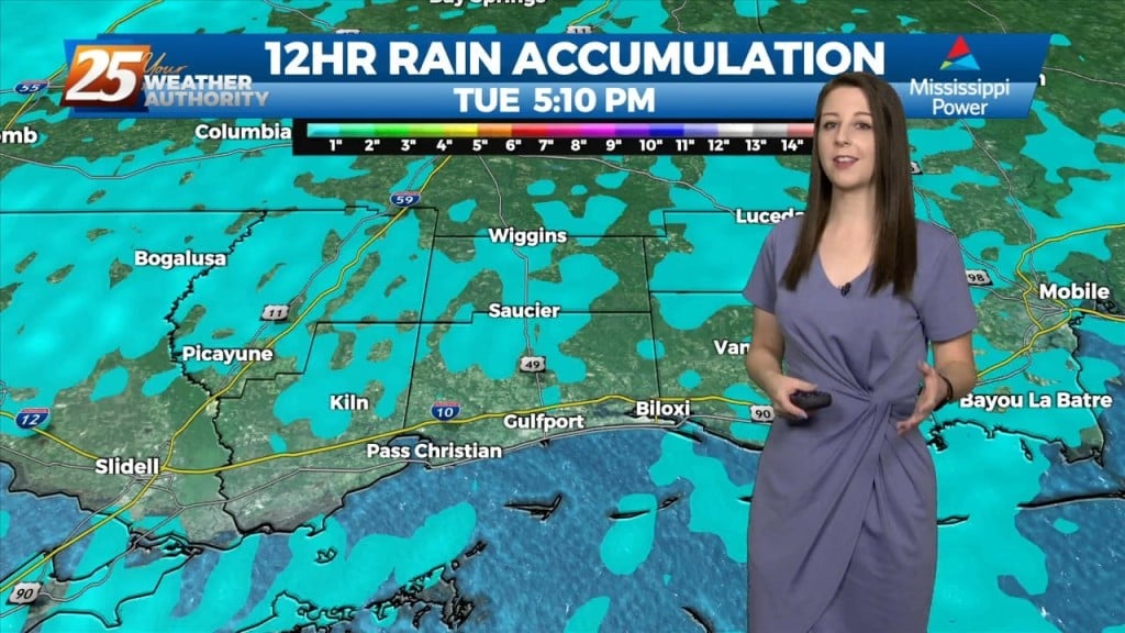
After a bumpy start to the day, the front is now east of the area and skies will rapidly clear this evening. Dry weather is…
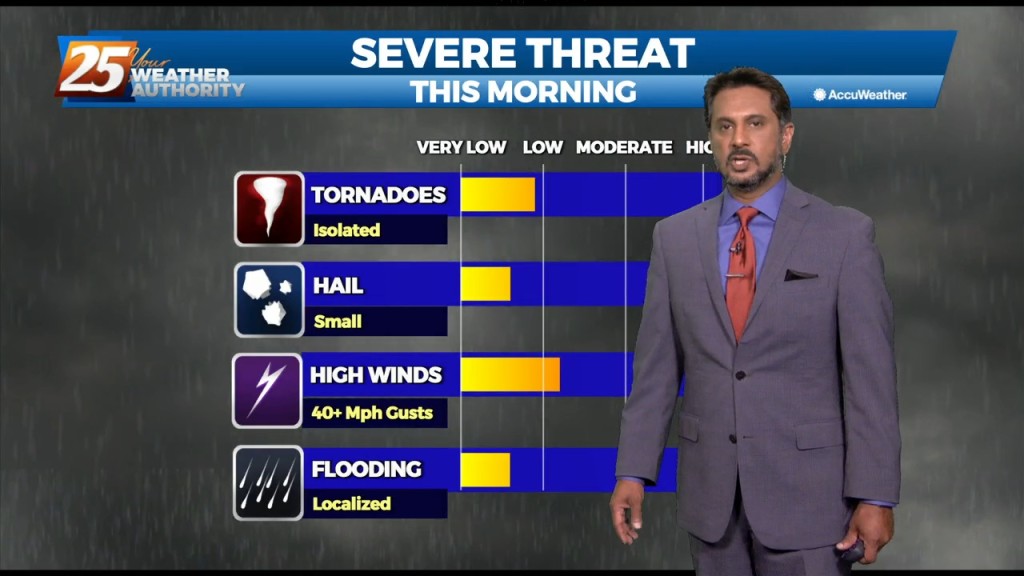
While isolated showers are streaming north across the local area, the activity will ramp up through midday. The upper disturbance is becoming somewhat negatively tilted early this morning,…
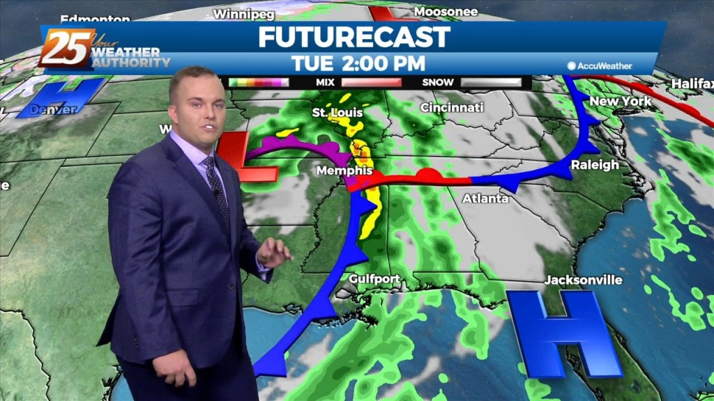
The main feature to note in the short term is the passage of a frontal boundary through the day on Tuesday which will have ample moisture and forcing to…
An upper level high pressure currently encompassing the area will weaken on its western side. Moisture will be drawn between a disturbance over the SW USA and…
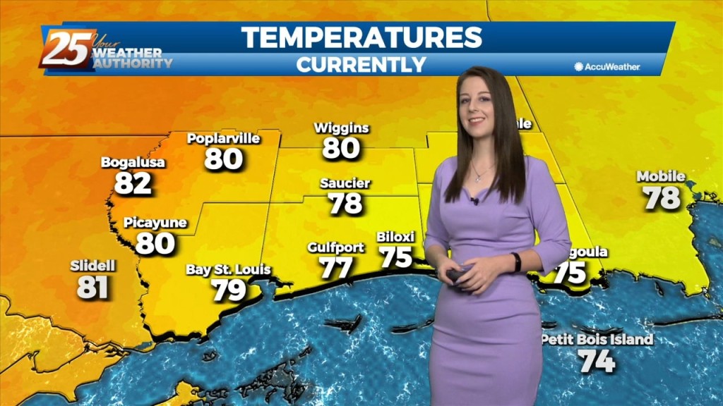
A humid flow has taken hold on our pattern. Winds out of the southeast are ushering in a warm and humid airmass ahead of a cold front. Temperatures today will reach…
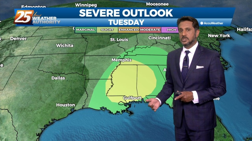
The main weather impacts for the local area come in Tuesday as an upper level disturbance digs south through the 4 Corners region will begin heading…
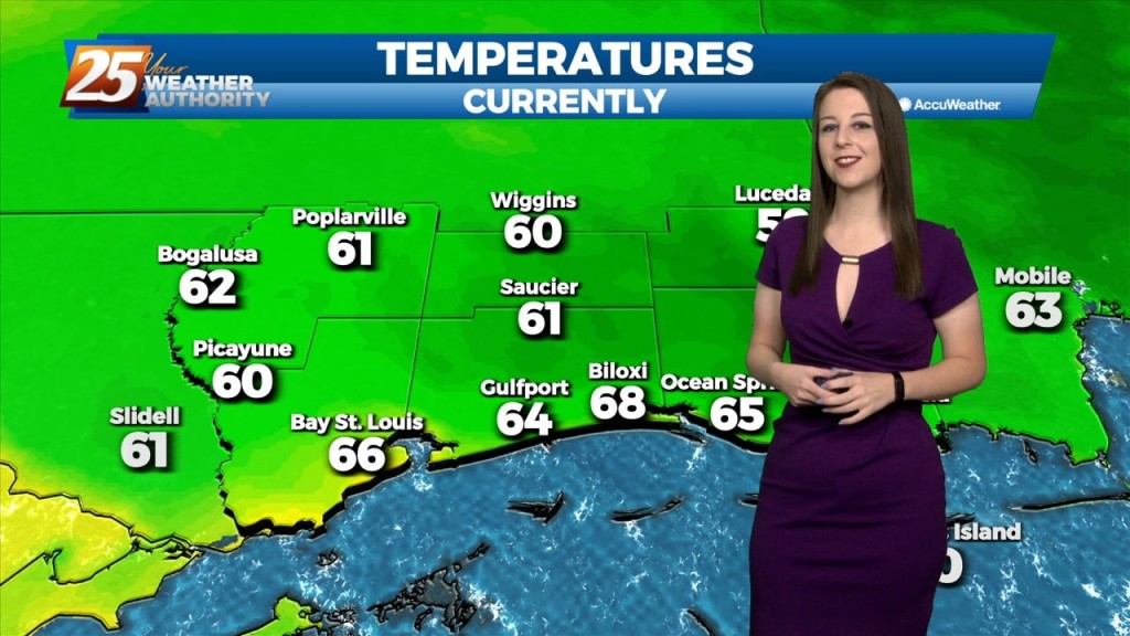
One last quiet day allowing for another pleasant Sunday and weekend as a whole. Not expecting much in the way of impacts for the…
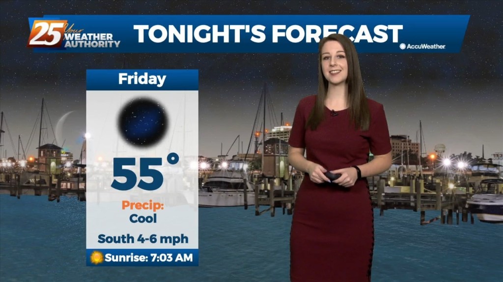
The clear and cool conditions will continue this weekend with morning lows in the 50s and 60s and high temperatures in the low 80s. Low-level moisture is…
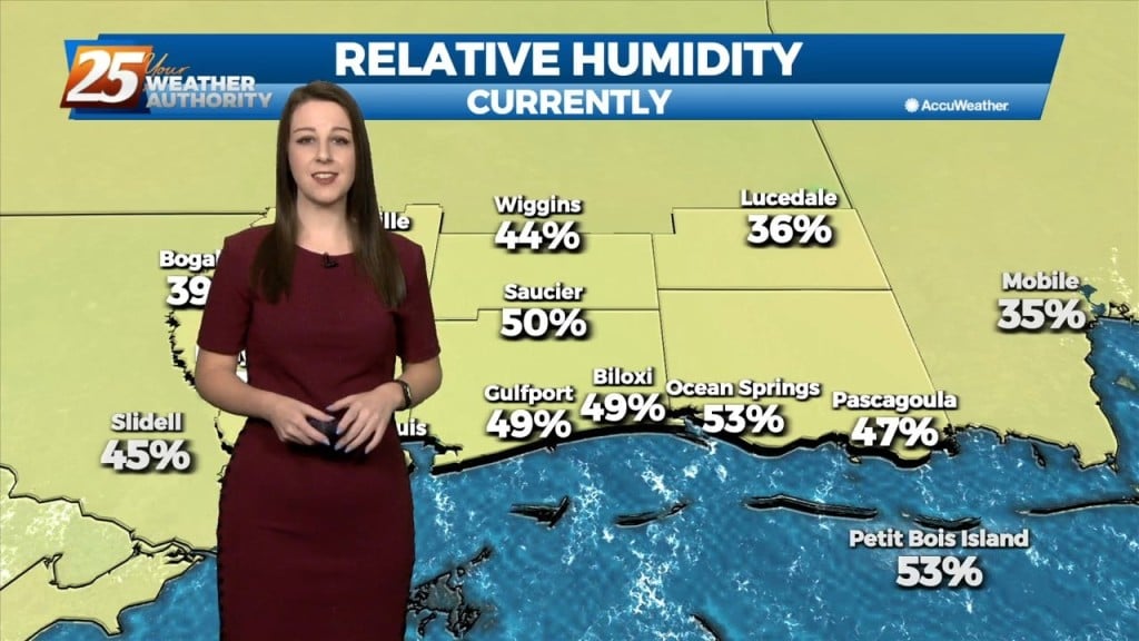
Mid-upper level ridging coupled with surface high pressure will provide stellar fall conditions across the area this weekend with clear conditions, morning lows in the 50s and 60s and…
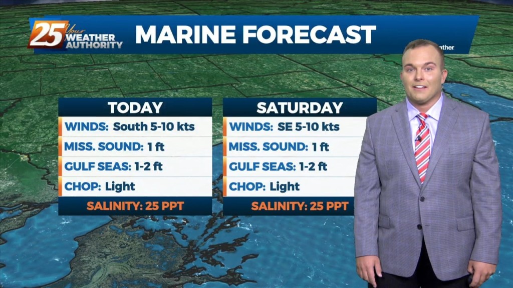
As the colder airmass continues to slide east, an upper level high pressure will move in behind it. Temperatures will continue to be moderate today as high temperatures will climb into…
As the colder airmass continues to slide east, an upper level high pressure will move in behind it. Temperatures will continue to moderate today as high temperatures…
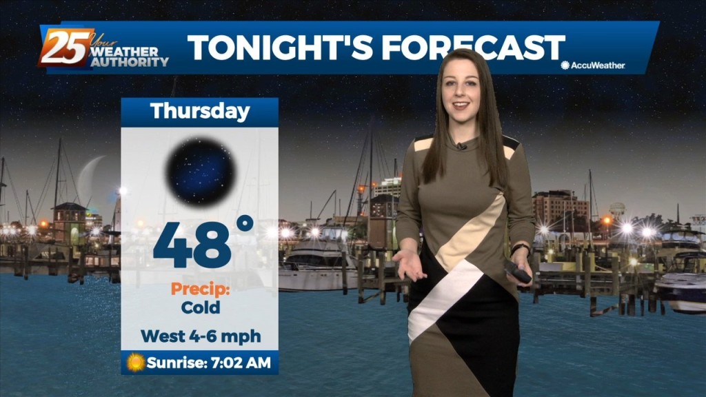
As the deep longwave trough situated over the eastern CONUS this week finally lifts out it will be replaced by a shortwave mid-upper ridge on Friday before flow…
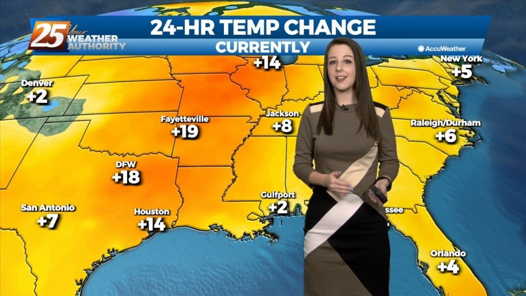
High pressure has begun to shift to its southeast throughout today. Westerly winds continue tonight dropping to 3-6 MPH overnight. Even though we will see cold…
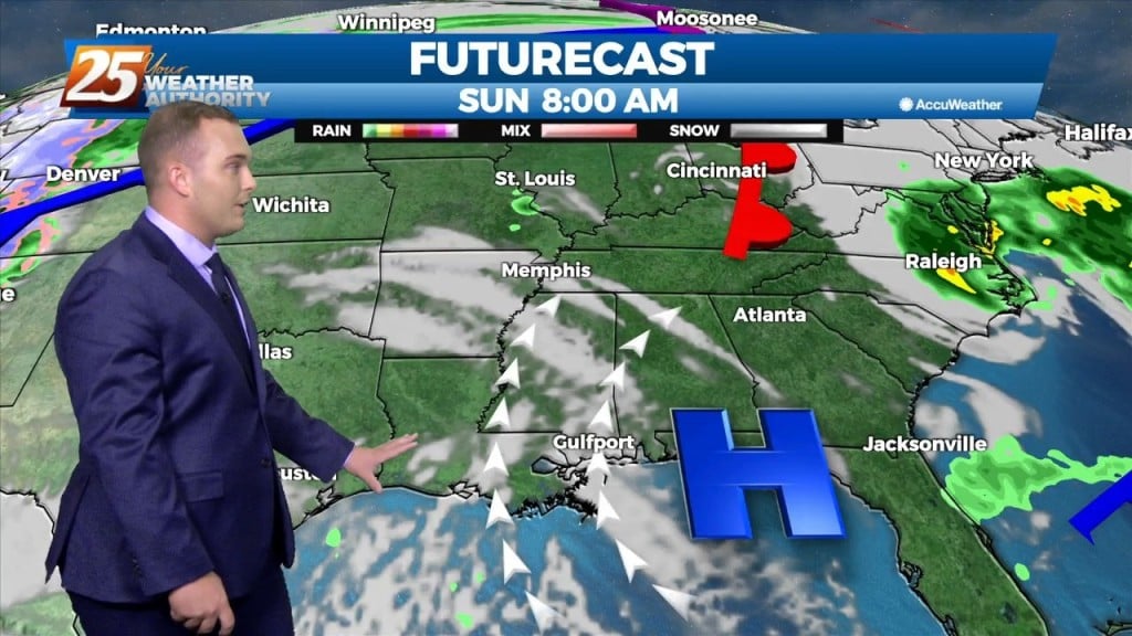
The bulk of the cold airmass has begun to slide east. High pressure to our north will continually move to its southeast which will provide for…
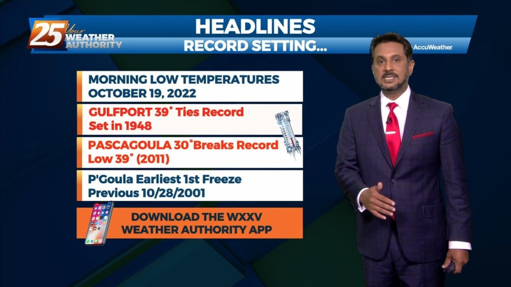
A FREEZE WARNING CONTINUES THROUGH 9 AM. As the bulk of the cold airmass starts to slide east, an area of high pressure will move in…
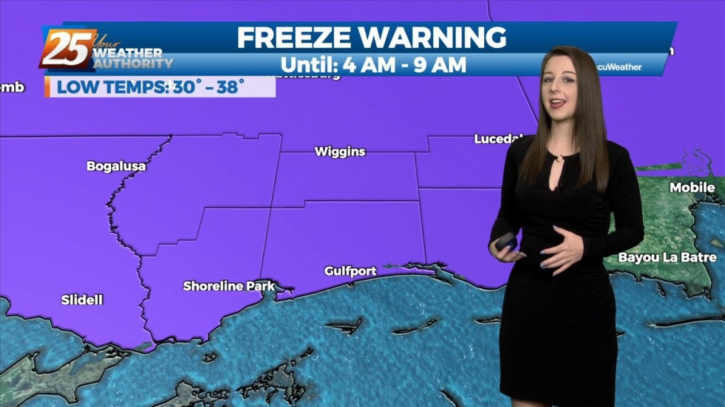
Temperatures will once again drop off very quickly after sunset, with the mercury dropping into the mid-40s around midnight, upper 30s to low 40s for overnight lows. Expect areas…
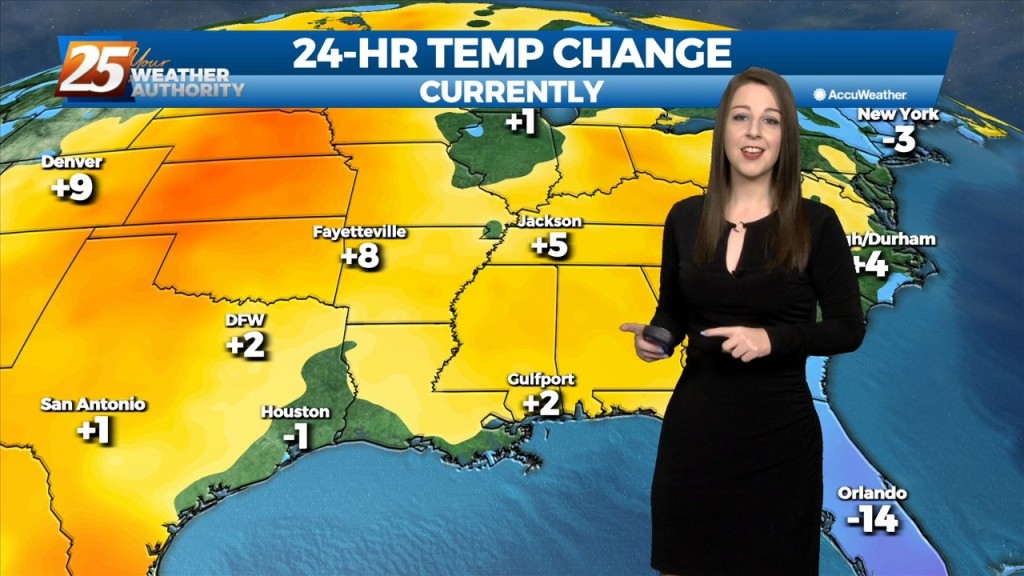
Slightly elevated winds from earlier this afternoon have begun to taper off, with light and variable winds overnight. Temperatures will once again drop off…
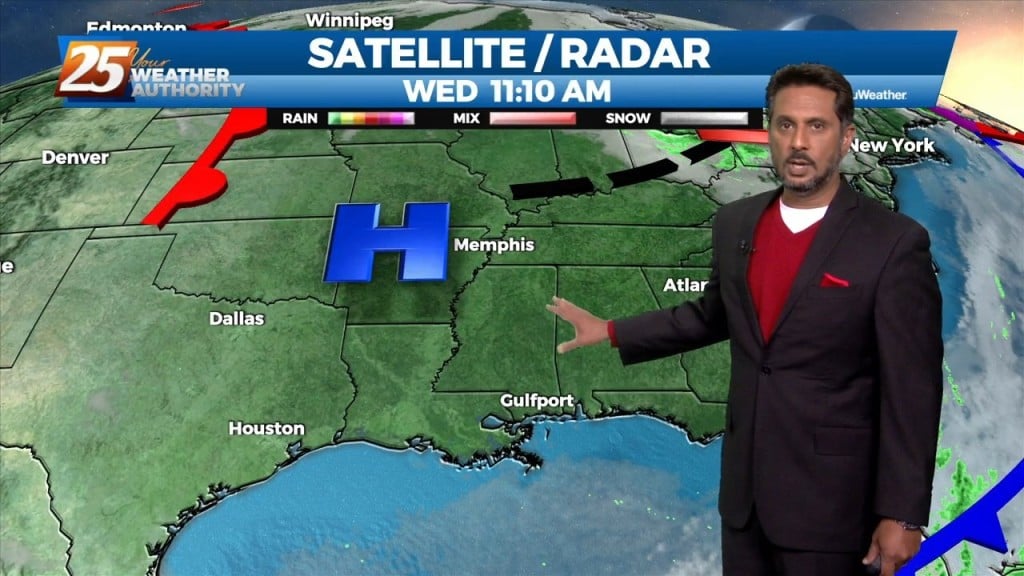
A sunny but cool afternoon as winds will be on the breezy side. High pressure is to our northwest and is providing for a cold and…