10/10 – Brittany’s “Slow Changes Ahead” Monday Evening Forecast
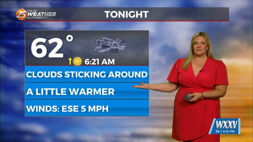
After a beautiful day to start the workweek, high pressure to the north will begin to move to the east and the return flow will begin. Humidity will creep back into the area Tuesday and that will provide an increase in cloud coverage. By Tuesday night, a more humid airmass is in the area. Temperatures will only fall into the 60s overnight Tuesday into Wednesday.
Increased rain chances will arrive thanks to a storm system moving east and tropical moisture being pulled up from the Caribbean. Some rain chances are possible Wednesday the morning, particularly on the water. But the heating of the day Wednesday will find the peak of the rain and storm coverage with a 70% chance of rain. By late Wednesday evening, rain diminishes and we see one more night with warmer morning lows in the mid to upper 60s.
A cold front moves through the area Thursday morning. The frontal passage will give us breezy conditions Thursday and Friday. A cool down will happen with morning lows in the 40s and 50s, and afternoon highs only managing mid to upper 70s Friday and Saturday.


