10/27 Ryan's "Warm Start" Monday Morning Forecast
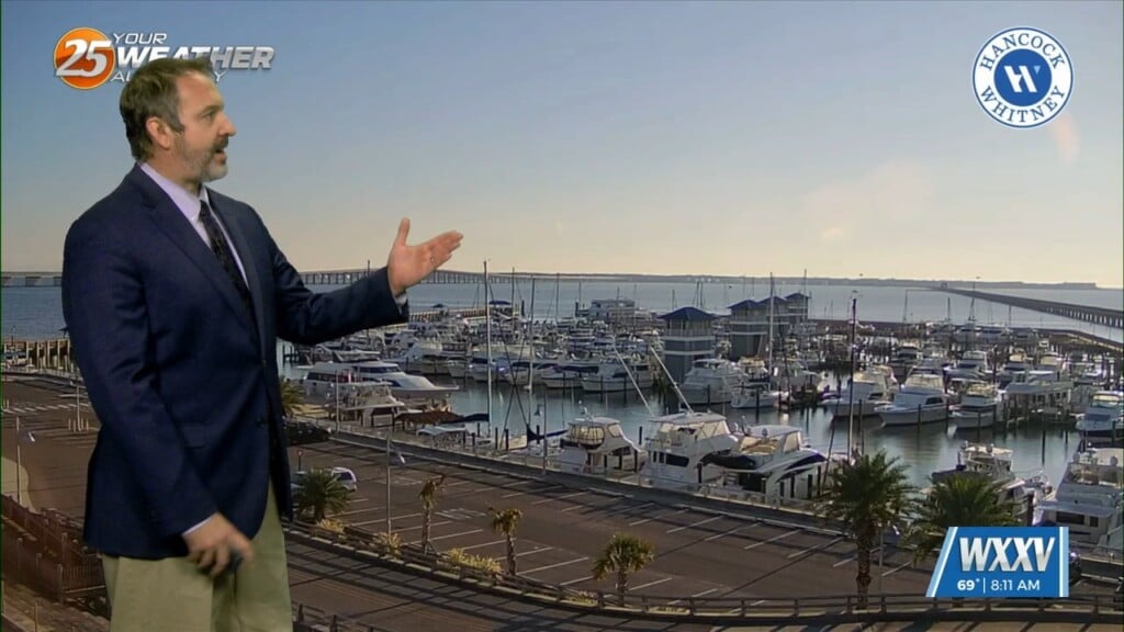
This time last week we were seeing lows in the mid 40s on the coast, but we're off to a warm start this week as lows only fell…
This time last week we were seeing lows in the mid 40s on the coast, but we're off to a warm start this week as lows only fell…
Strong high pressure will dominate the Gulf South through the entire short term period. The deep layer subsidence associated with this high pressure will result in…
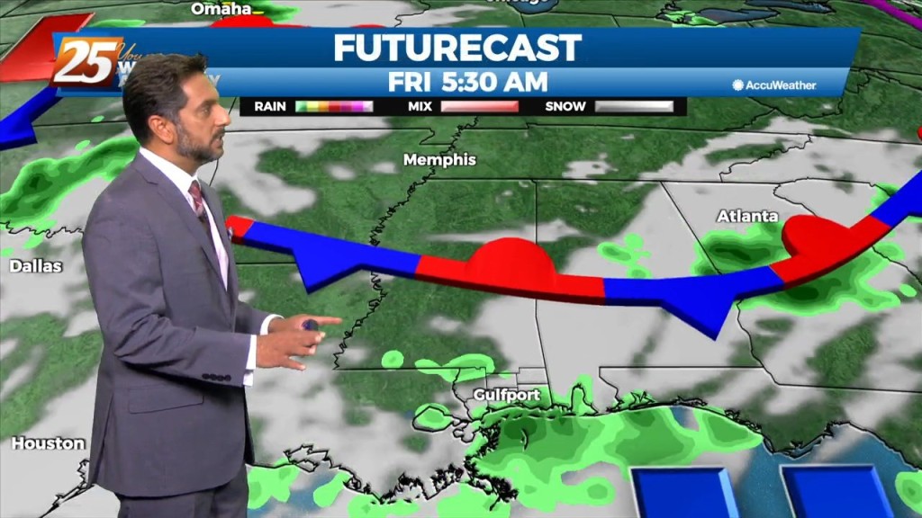
A disturbance along the NE’tern portion of Texas will continue to eject to the NE moving across the extreme NW portion on Mississippi later this afternoon. Friday…
Cloud coverage and breezy conditions will increase this morning as an approaching cold front to the west stalls. Early Wednesday we will see a cold front…
The axis of the upper disturbance extended from the Great Lakes to the Florida Panhandle early this morning with upper high pressure over the Rockies. If…
Under a further amplifying disturbance, the region will remain on the dry side of this feature. The best lift and instability will be through the Gulf South.…

A deepening upper level disturbance is situated over the Southeast U.S. An approaching weak backdoor cold frontal boundary is expected in the region later this…
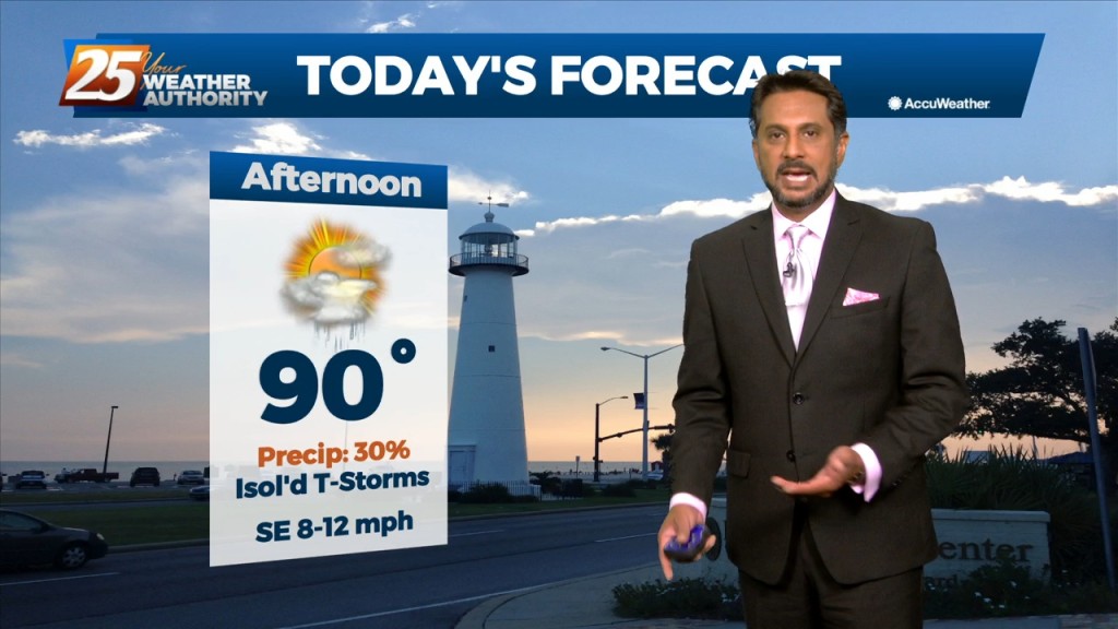
More of the same summer-like weather will persist today despite the mid-level high pressure gradually waning. Convective temperatures in the upper 80s to low 90s will be…
High pressure covers much of the Gulf of Mexico, extending northward toward the Great Lakes. A deep upper disturbance extends from Montana to the Four Corners area.…

A the moisture returns and temps getting into the 50s and 60s along with dew point temps, we will need to turn to those variables that…
A cold front just north of the area will slowly slip though south Mississippi later this afternoon/evening. High pressure to the SE will suppress the energy…
Another well above average day is expected in terms of temperatures across the region. At the surface a weak stationary front north of Hattiesburg will…

Ahead of a front today will be quiet the windy day and warm. Because we will be able to mix out quite high we will…
A weak frontal boundary will reside pretty close to our northern area border today. With the closer proximity to the boundary, the surface pressure gradient…
A low pressure system over Wisconsin is dragging a cold front north of the !-20 corridor. Isolated rain south of the boundary exists all the…

The focus late this afternoon and evening will be on convective development to our north and east, moving into south Mississippi. A zone of low-level convergence oriented…
Today will bring hot and humid conditions with t-storm coverage slightly more reduced for generally areas along/near of I-55 and east to the MS coast given…
High pressure centered over southwest builds east today and dominates the weather pattern through the short term bringing more normal summer conditions of rain…
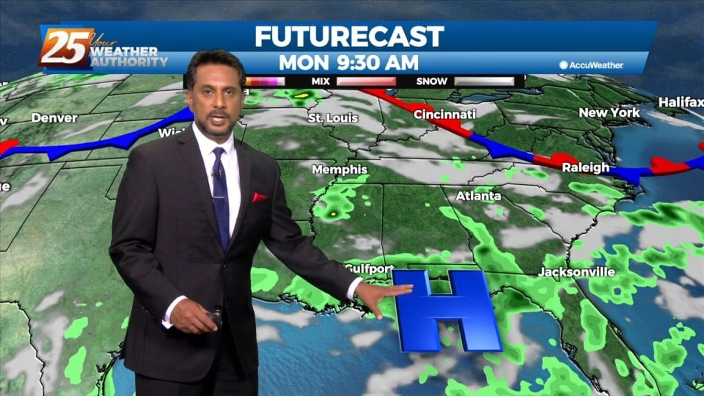
Today through Sunday a broad upper level high pressure will be centered near the 4-corners region extends from Mexico to Canada and CA to around MS.…
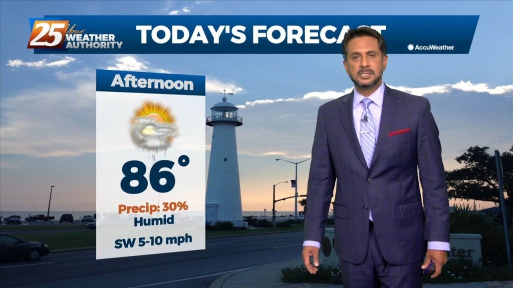
High pressure will dominate the upper level pattern today through Wednesday. A southerly surface winds will help to advect warm air and moisture into the area, enhancing…
High-pressure is currently over the Rockies, with low-pressure along the Atlantic Coast. The area of disturbed weather over the Gulf of Mexico appears to…
A blocking pattern continues across the mid-section of the country which is the cause for our previous, current and future heatwave. Seems hard…
Today will fall into that bracket of typical summer thermal showers and thunderstorms. There won’t be as many around as yesterday. And whereas yesterday was a bit easier…
The main concern in the short term will continue to be the potential for thunderstorms and possible severe weather. We’ll remain in northwesterly upper flow…