5/24 – The Chief’s “Changing Weather Pattern” Wednesday Morning Forecast
Under a further amplifying disturbance, the region will remain on the dry side of this feature. The best lift and instability will be through the Gulf South. Models signal very similar activity during peak afternoon heating. Temperatures today look to vary a good bit. Temps in the lower 80s expected over the east where some insolation may be limited due to clouds as well as lower heights across that area when compared to yesterday.
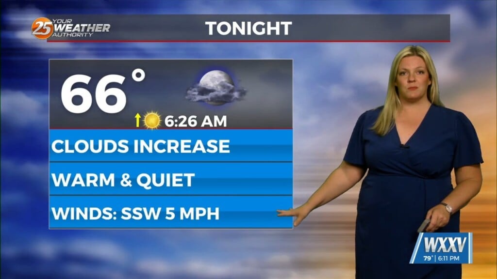
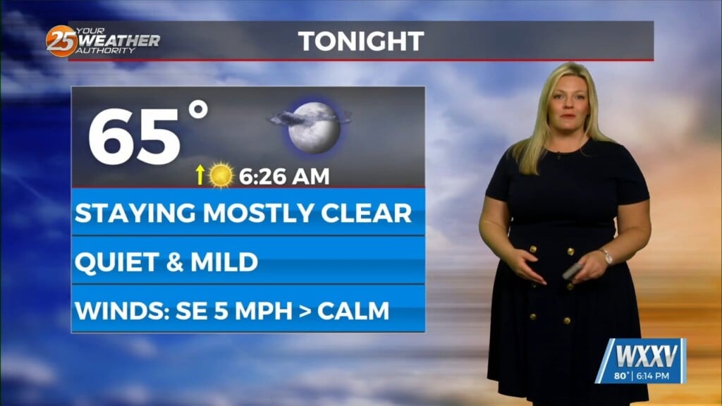
Tonight, convection again migrates over the coastal waters/marine zones as the upper impulse begins to exit the region to the south and east. Into Thursday, a drier trend will take shape, with slightly more heating over the eastern half of the forecast area. Expect temps to be a couple of degrees warmer when compared to today. Otherwise, easterly or east northeasterly surface flow is expected. With the somewhat ENE flow in place, the sea breeze should remain somewhat pinned to the coast.
The long term period starts dry with northerly flow aloft over the region and continued somewhat dry ENE flow across the central Gulf coast at the surface. A broad upper level low will likely be ongoing across the SE Atlantic Coast and southern Appalachians. This of course places most of our region in the quiet drier part of the large scale trough over the Atlantic coast.
Going into the holiday weekend, models are showing a rather complicated and dynamic pattern evolving. The strong upper level low will begin to wrap in another weaker low through the weekend. This does complicate rain chance forecasts just a bit as well as temperatures. First, any spoke of energy in the upper levels may be enough to generate isolated t-storms, especially if the energy coincides with afternoon heating.


