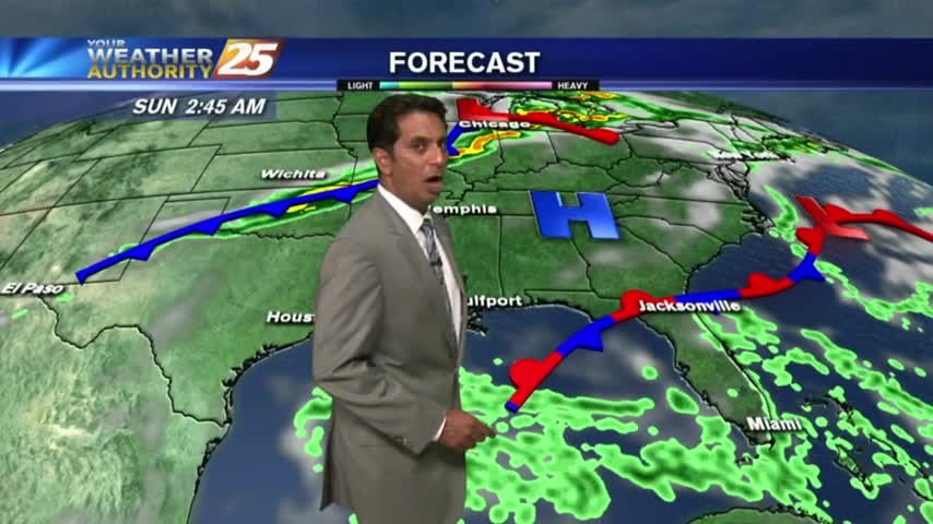
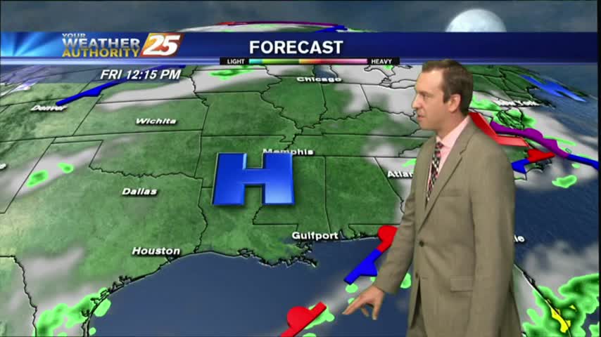
10/16 Ryan's "Finally Fall" Monday Night Forecast
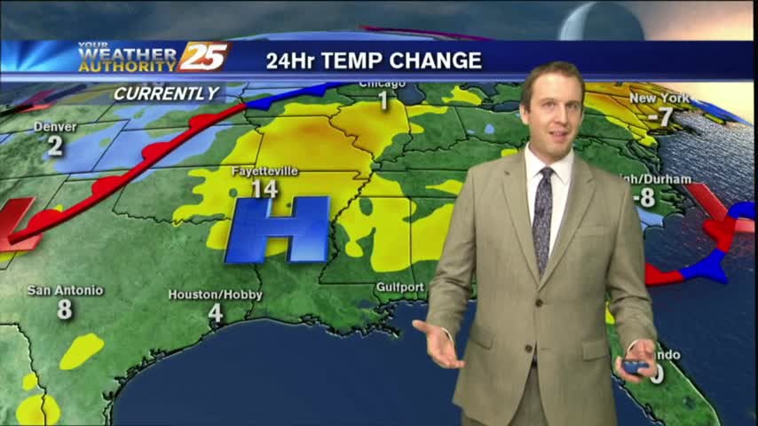
A cold front moved through just after midnight last night, and the cooler/drier air continues to pour in. Watch the full forecast for details.
A cold front moved through just after midnight last night, and the cooler/drier air continues to pour in. Watch the full forecast for details.
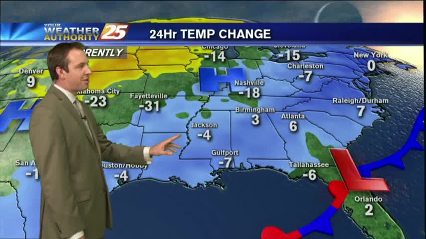
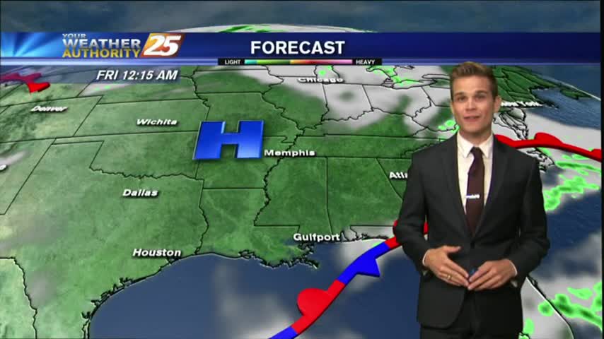
The cold front has passed, and fall weather is finally here!
With a cold front clearing the area, this morning brings cloudy skies and isolated showers/t-storms moving east...
Fall weather is finally coming to South Mississippi!
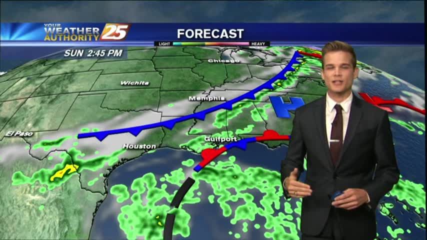
We saw a few drier days but the humidity is beginning to build again ahead of a cold front, which will finally bring some fall-like weather by next week. Details within.

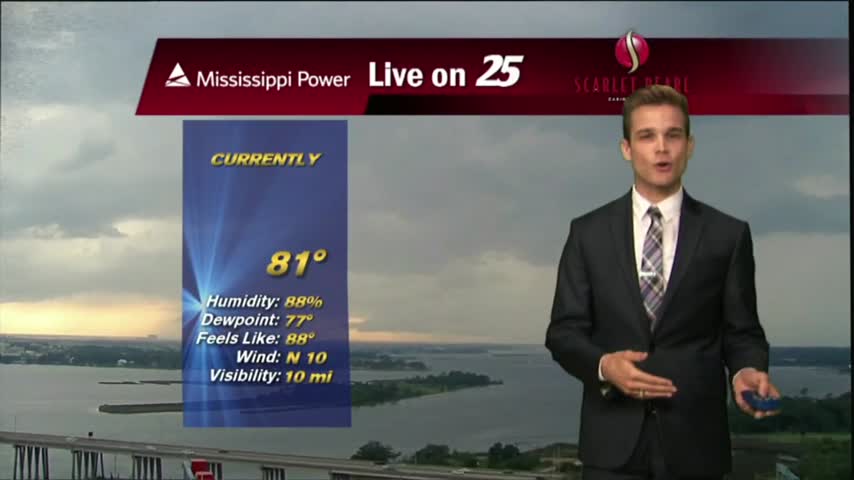
After a BEAUTIFUL start to the day with drier air providing for lower humidity, a LOVELY Friday afternoon is on-tap...

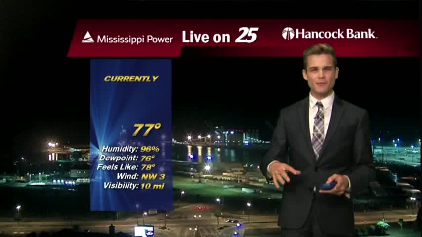
A very mild start to kick-off the weekend as drier air continues to affect the region...
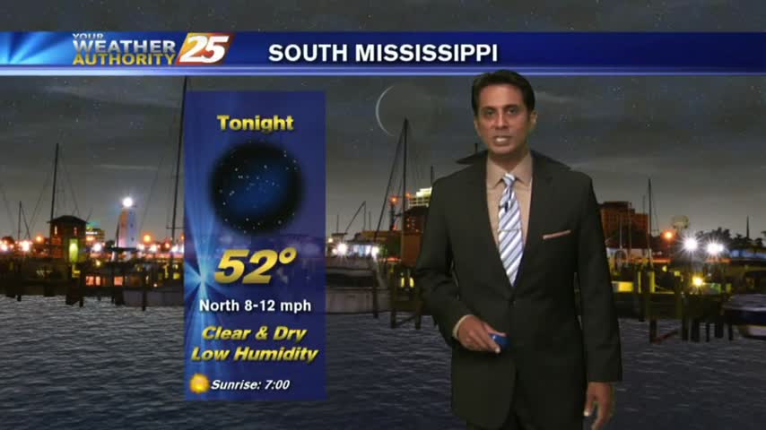
A nice night as dry air continues to move into the area, but rain returns soon..
The cold front has finally moved through bringing drier weather, but it's not going to stick around long.
Thin upper-level clouds this morning in the wake of a cold front has cleared the area. Drier air will shape our forecast at least through Friday night...
In the wake of a weak cold front, drier air is moving into the region and will provide for pleasant conditions...but not for long...
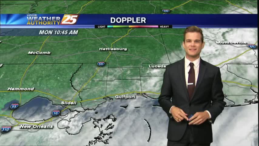
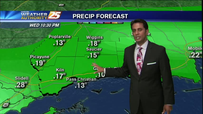
After showers and thunderstorms this evening, most of the area has cleared.
Flash Flood Warning for Harrison County until 7:30 pm, but the rain will start to dissipate into the evening.
After a foggy start to the day, a cold front overhead slowly moving east will bring a few showers/t-storms to the viewing area this afternoon...

With a very weak cold front overhead moving east, areas of patchy DENSE fog has developed along the southern 6...
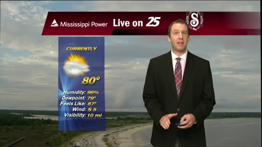
It dried up slightly today, but conditions remained hot and humid. A front moving through tomorrow will change things for the better, so watch the full forecast for details.
A very weak cold front is approaching the area from the west…currently located in Eastern Tx.
With a very saturated air mass in place, DISRUPTIVE WEATHER is in the area once again in the form of FOG, and ADVISORY is in effect...
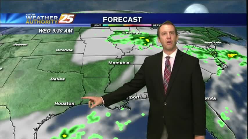
We expected a few showers today and the weather delivered, but drier conditions are expected ahead. Watch the forecast for details.
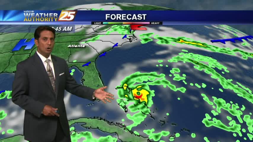
Nate quickly moved in, and then out of our lives but left a decent amount of damage behind. We'll now begin our post Nate lives, and see improving weather. Details inside.
After a relatively quiet day behind Hurricane Nate yesterday and last night, but rain has returned today.

A mild and humid start to the day with rain moving in from the south and areas of PATCHY DENSE fog...

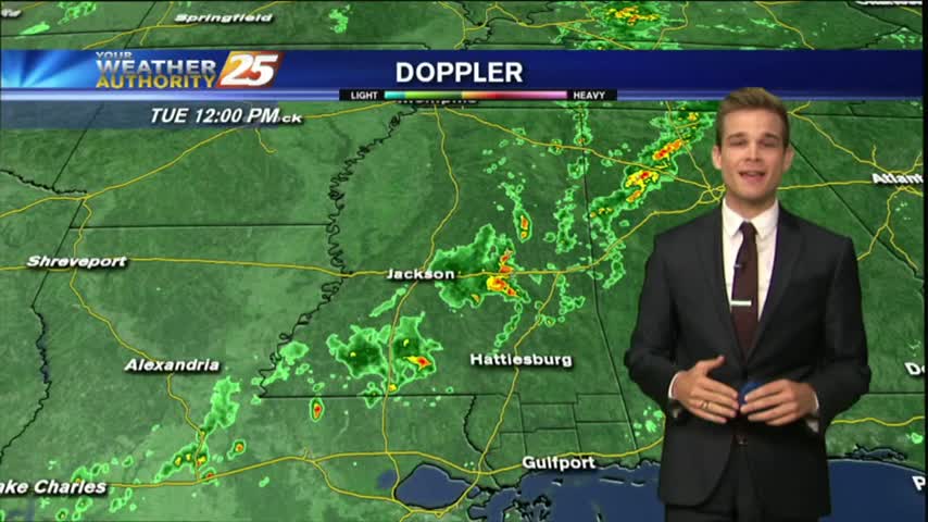
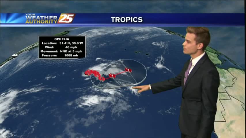
See the latest on storm reports in South Mississippi...

Jackson County Shelters