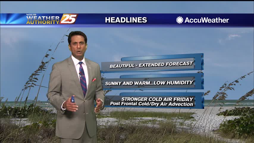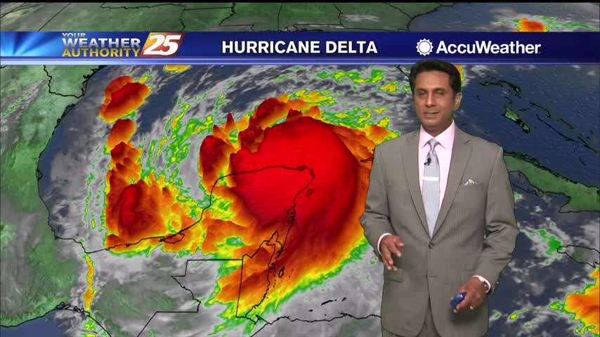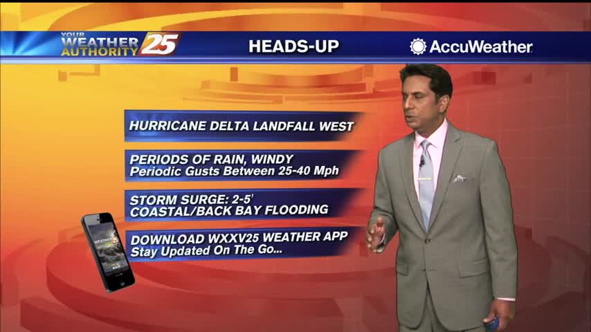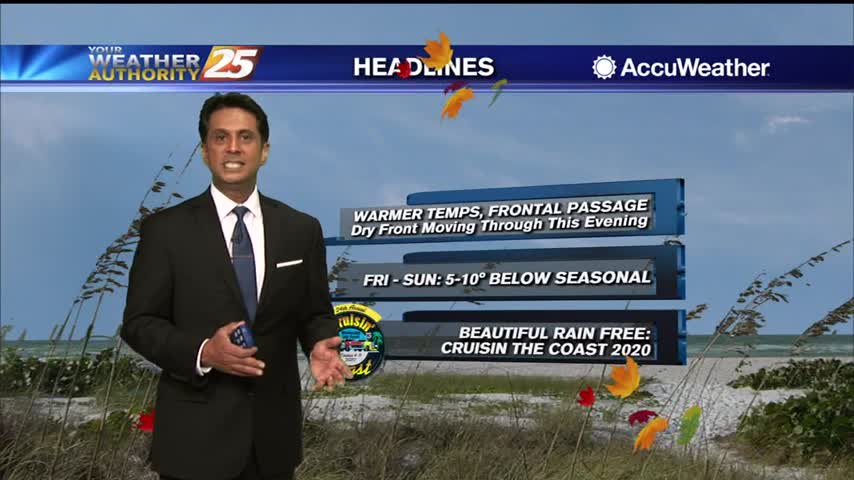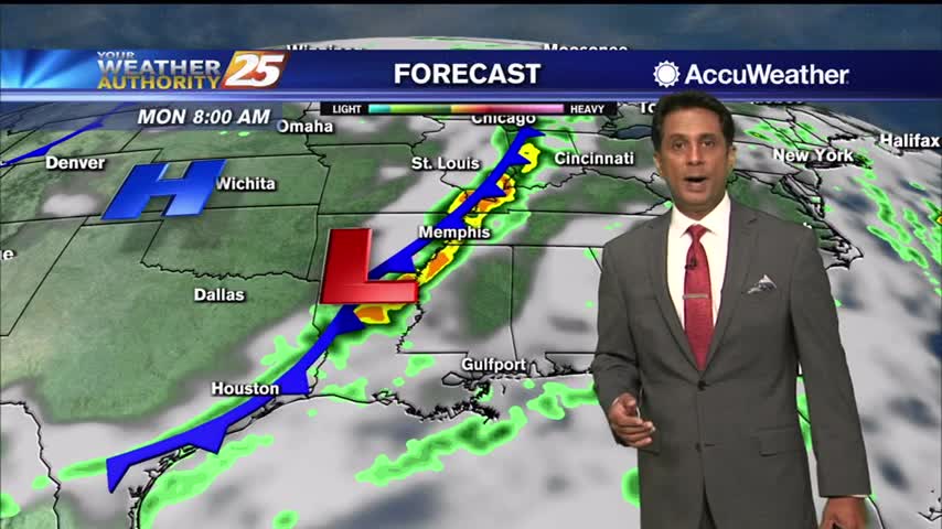
10/14 – Rob Knight's "Cooler, Less Humid" Wednesday Morning Forecast
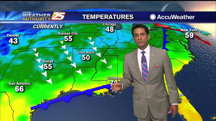
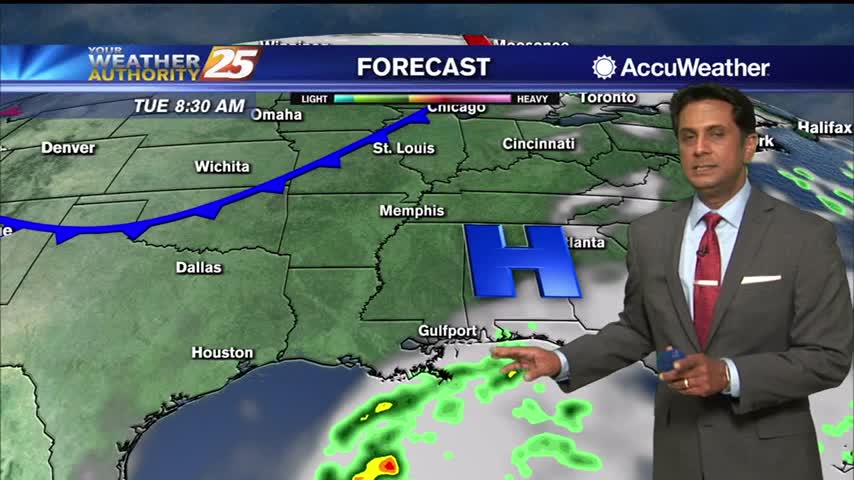
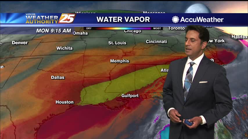
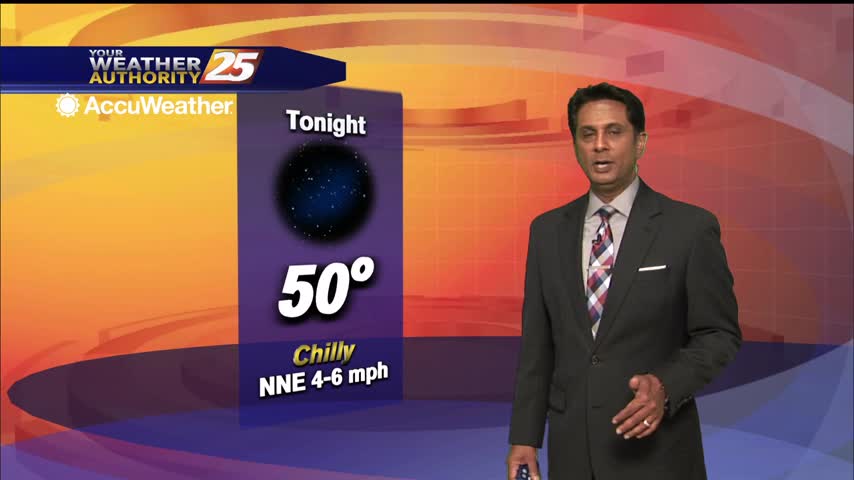
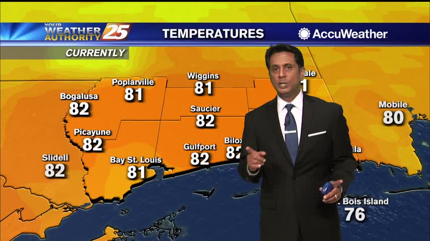
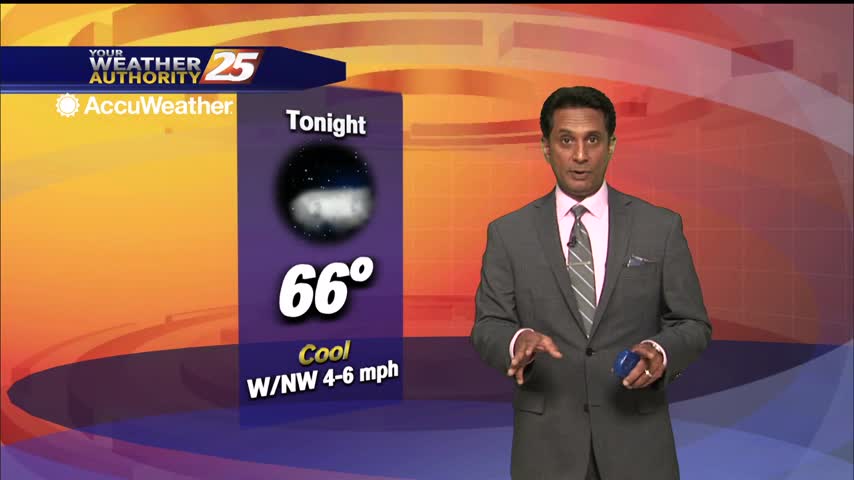
We are starting off the day on the chilly side area wide thanks to a recent cold front passage. Strong radiative cooling processes in place from a weak surface high nearby, calm winds and clear skies pushed early morning lows…