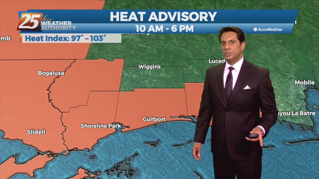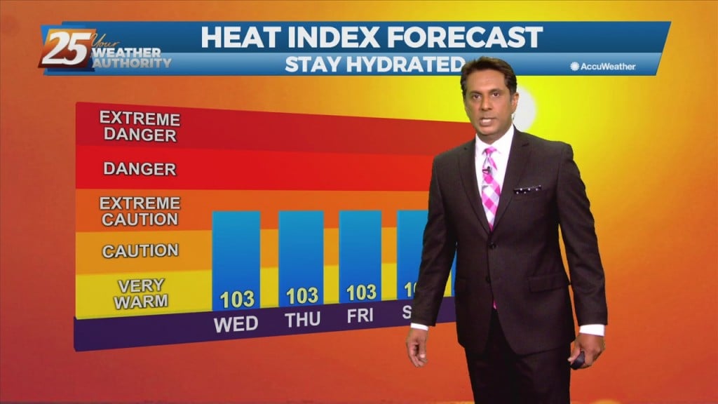
9/1 Rob's "1st Day of September" Afternoon Forecast
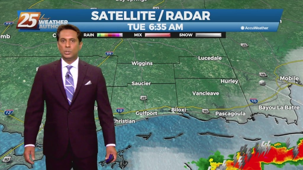
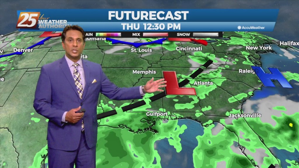
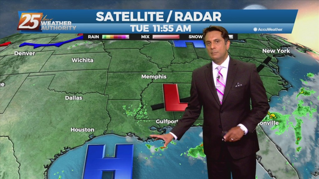
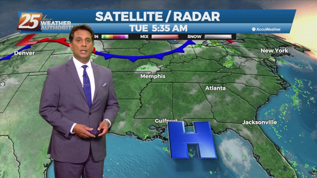
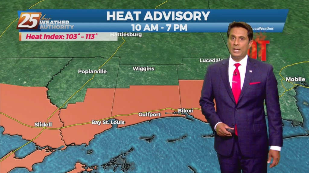
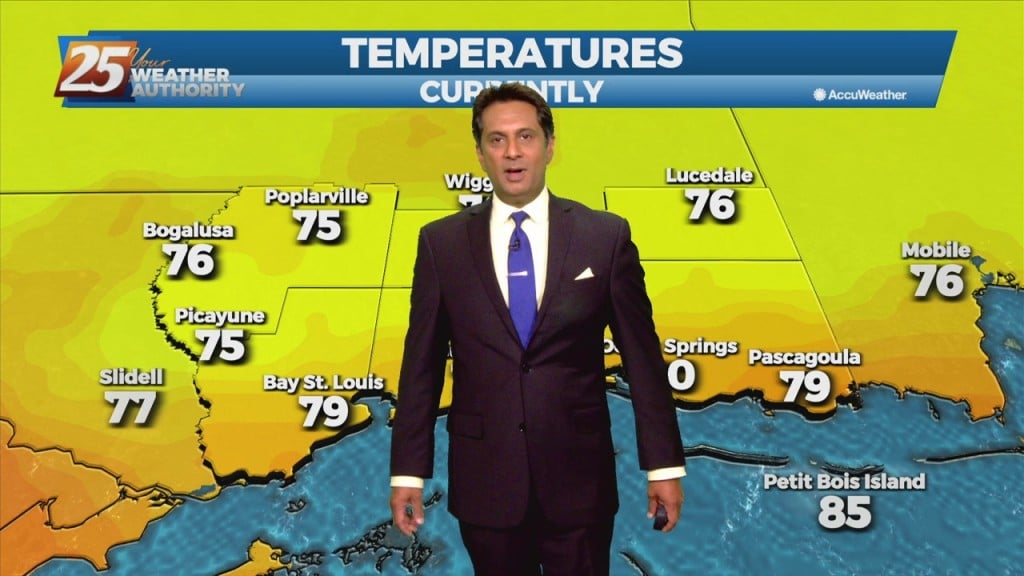
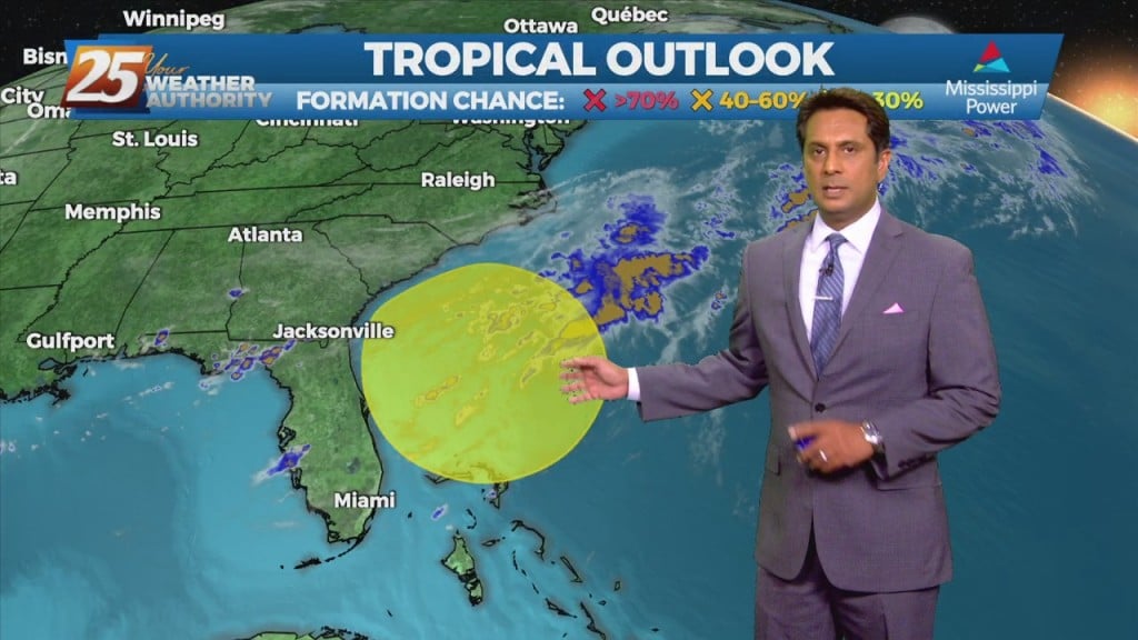
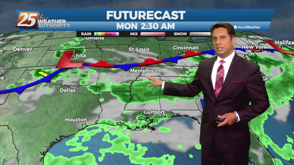
A surface low associated with Tropical Depression Ida will continue to move NE, dragging a weak cold front into south Mississippi Thursday morning. Northwesterly flow aloft will develop across the area today between the upper level High pressure over Texas…