8/4 - Rob's "HOT & HUMID" Thursday Forecast
Isolated t-storms over the sound continue to move east, with partly/mostly clouds skies through the viewing area...
Isolated t-storms over the sound continue to move east, with partly/mostly clouds skies through the viewing area...
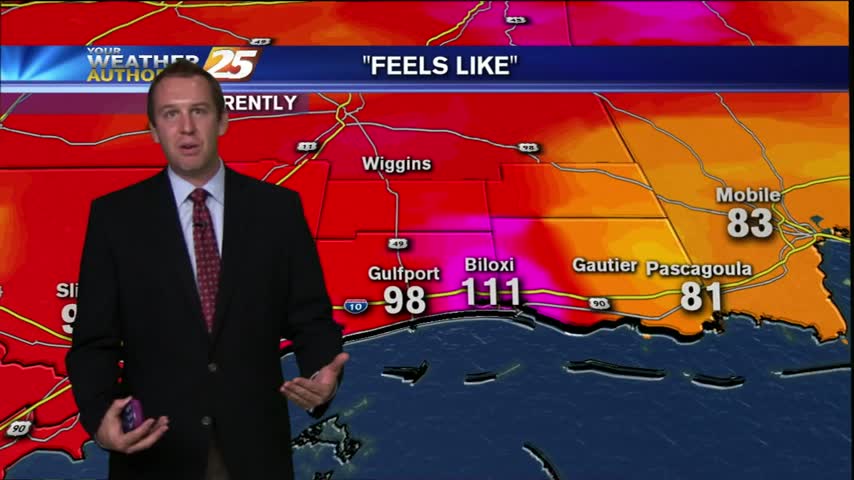
This afternoon's heat advisory expired at 7 pm, but "feels like" conditions remained near 100 degrees well into the night for Gulfport and Biloxi. I'm expecting gradually clearing skies this evening which will help us barely dip into the uppers…
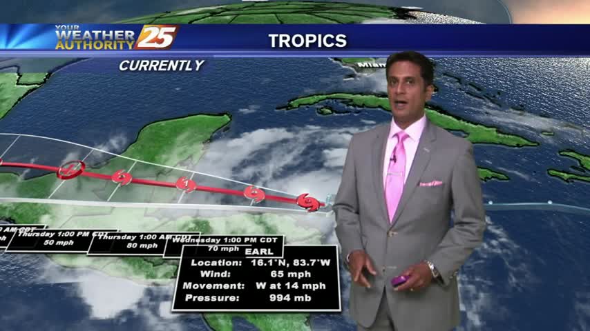
After a batch of t-storms with heavy rain overnight, isolated activity continues this morning...
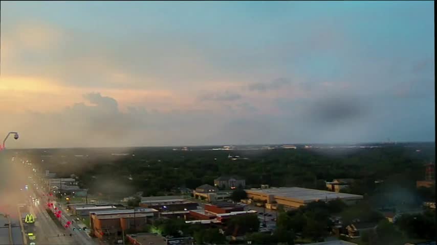
You might as well call today "Tropical Tuesday" since we saw the development of the fifth named Atlantic storm of the season, TS Earl. This system is expected to intensify into a Category 1 hurricane within the next 24 hours,…
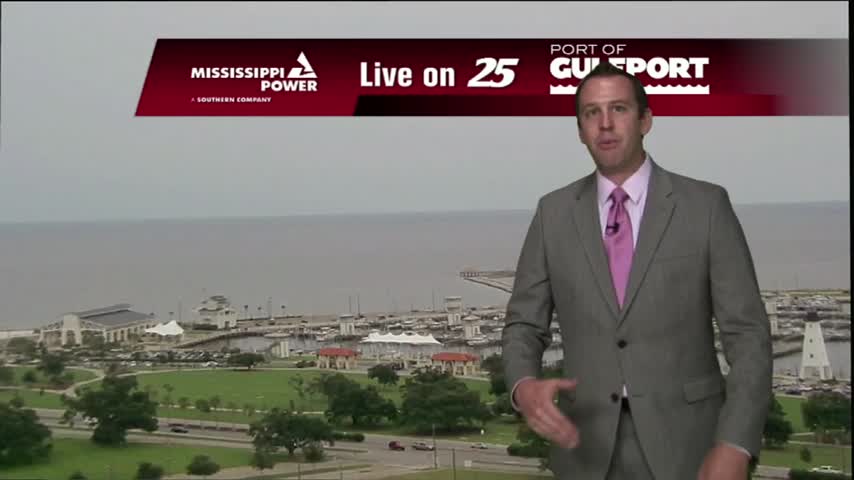
Big news out of the Caribbean today, as tonight's tropical update will include the first introduction of TS Earl. Not much local impact is expected from Earl, but we'll continue to monitor his development and make sure he continues moving…

Isolated t-storms hugging the Jackson County coastline with warm & humid conditions...
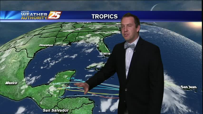
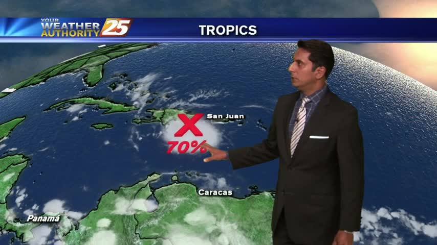
Well it's August first and things are really starting to heat up in the Tropics. Today, we have strong tropical wave in the Central Caribbean sea, moving Westward, with an 80% chance of tropical formation within the next two days.…
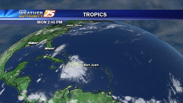
The usual rounds of showers and storms in the afternoon and very early morning will continue over the next few days. Plus, we've got the latest on Invest 97-L in the Caribbean Sea.
A HUMID start with a few t-storms over the sound, and areas of light fog on-shore...
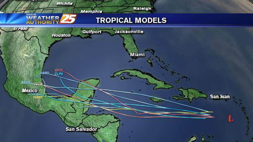
We monitor the tropics and talk about the prevailing weather for the upcoming workweek in this forecast from Meteorologist Steve Taylor.
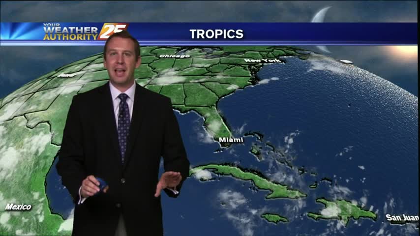
Well it's finally Friday and the weather held off pretty well today. We had very few showers in the early afternoon and we're still seeing a few more light showers out there now (around 11 PM). We've still got about…
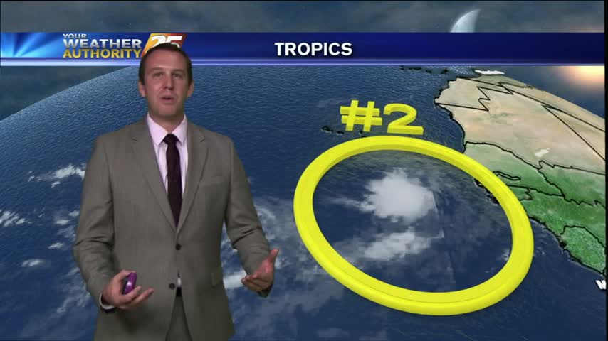
It may have been a drier Thursday here in South Mississippi, but things are starting to heat up in the Atlantic. We had two areas of interest today (AOEs) just off the West coast of Africa. AOE #1 is a…
Rain free today but with increasing rain chances through the weekend. It's gonna be a scorcher today!
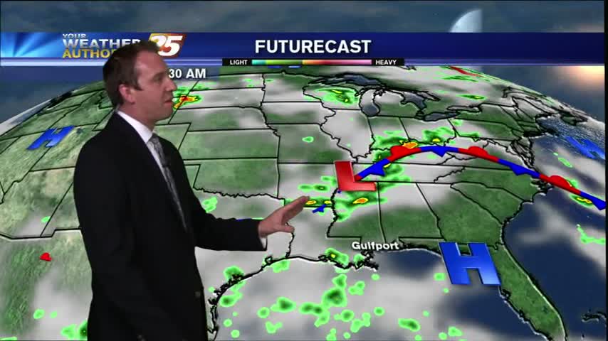
We've seen a bit of clearing this Wednesday evening, which will be a welcome change after days of overcast skies and spotty showers. In fact, tonight began clearing a little earlier than i expected so it's possible we may cool…
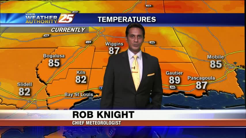
After a batch of HEAVY rain earlier we now have plenty of sunshine, but more rain is on-tap...
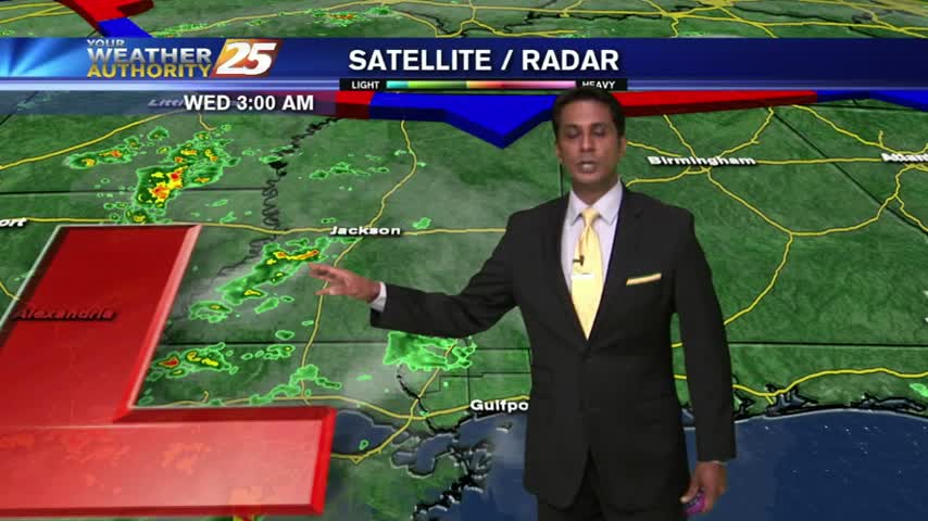
As an upper-level area of low-pressure moves west...wet conditions will be in the area once again.
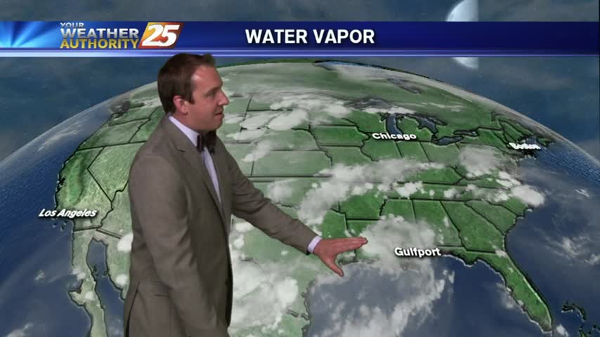
There are plenty of words to describe today, but "yuck" seems to sum up this rainy Tuesday pretty well. The overcast skies built overnight and lingered through the day, but the waves of showers were the real story today. It…
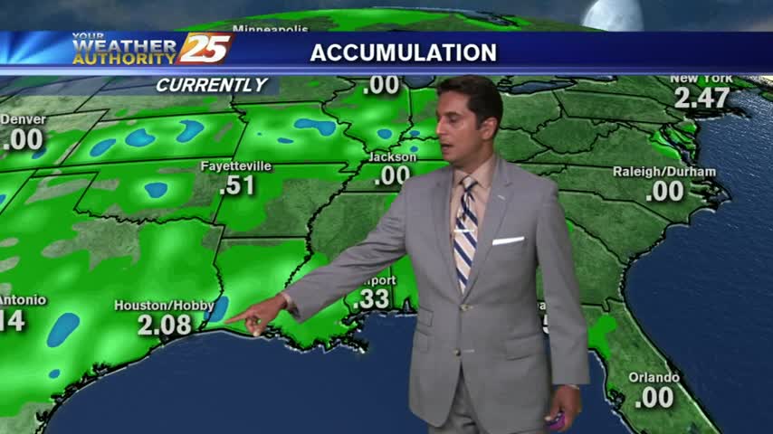
Another morning with showers moving in from the south, as a very saturated air mass continues to dominate the region...
Isolated activity this morning has increased along the coastal counties...moderate/heavy rainfall will continue through this evening...
There was a rainbow or two around the Gulf Coast today due to the large amount of very isolated showers and t-storms and the abundance of blue sky and sunshine we had. The rain will continue into the evening and…
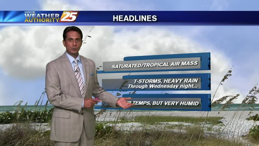
Showers and t-storms moving in from the northern Gulf to kick-off your morning commute...
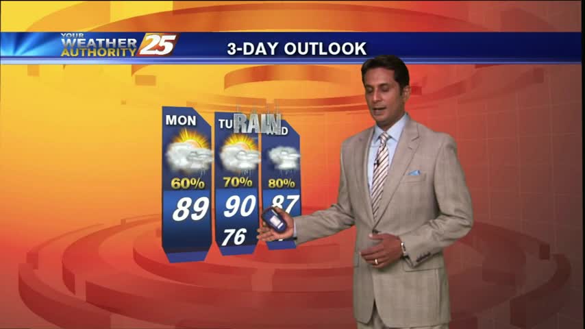
Early morning activity began to dissipate...but flaring back up with daytime heating.
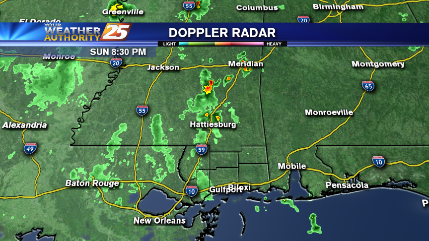
Rain affected the area earlier this evening and more could be on the way overnight and into the middle of the upcoming week.
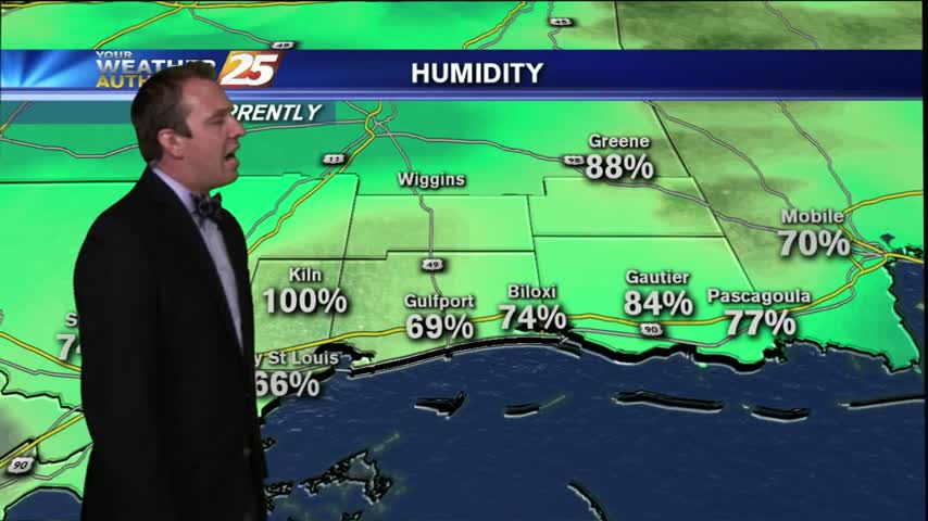
Started off today with loud t-storms moving through the area, but the stormy Friday finally gave way to a fairly decent evening. We'll see gradual clearing through the night and into the early morning hours, ending with mostly clear skies…