Steve's Weather Blog - 08/22/2016
Meteorologist Steve Taylor's regular musings on the current weather and forecasts, useful science and technology news, interesting weather terminology, and more.
Meteorologist Steve Taylor's regular musings on the current weather and forecasts, useful science and technology news, interesting weather terminology, and more.
Isolated rain moving in from the sound, a few showers are developing into t-storms. BIG changes are on the way...
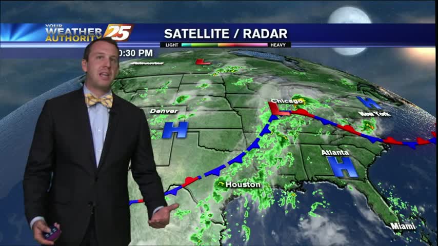
Much drier today than we've seen recently and we're evening getting some sky clearing this evening, but I expect to see more clouds move in tomorrow. We'll still get plenty of sun tomorrow, but I don't expect to get much…
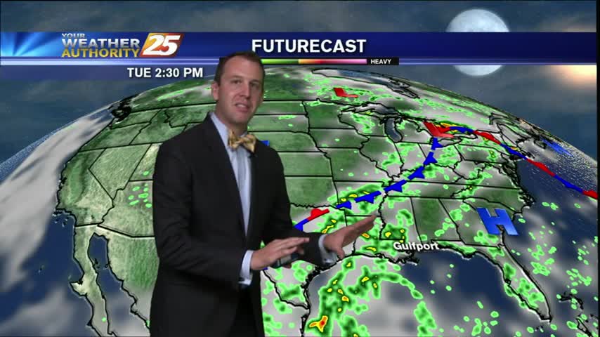
It's certainly a much drier start than we had last week, but we aren't completely through with the showers just yet. There is still a small chance of seeing a few more showers tonight and t-storms aren't out of the…
Very light showers in the area this morning to kick-off the workweek...with t-storms on-tap through today.
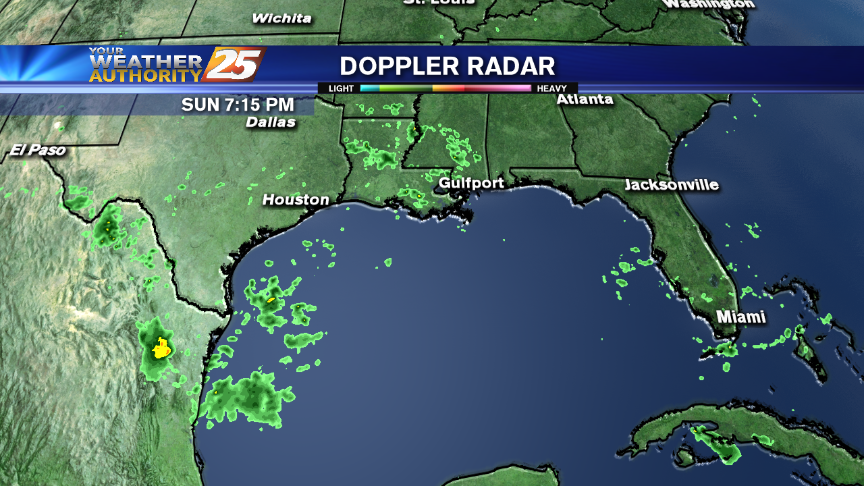
Rain chances this week are nothing like they were last week. Complete details of the forecast for the upcoming week are right here.
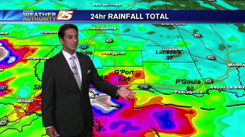
Round 2 has begun with HEAVY RAIN already in the area. Coupled with areas of patchy FOG...visibility is greatly reduced.
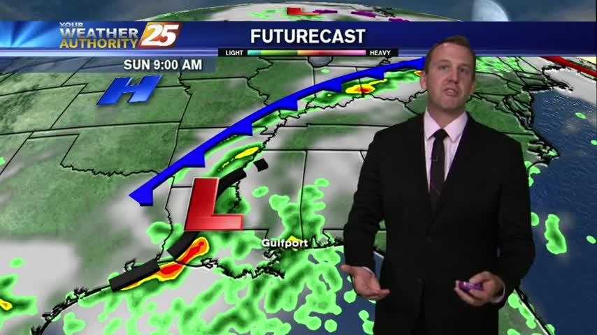
As expected, a drier Thursday evening after another wet and rough day of storms. Now that the storms are cut off from their main source of energy, daytime heating, we're starting to see the storms dissipate a bit and are…
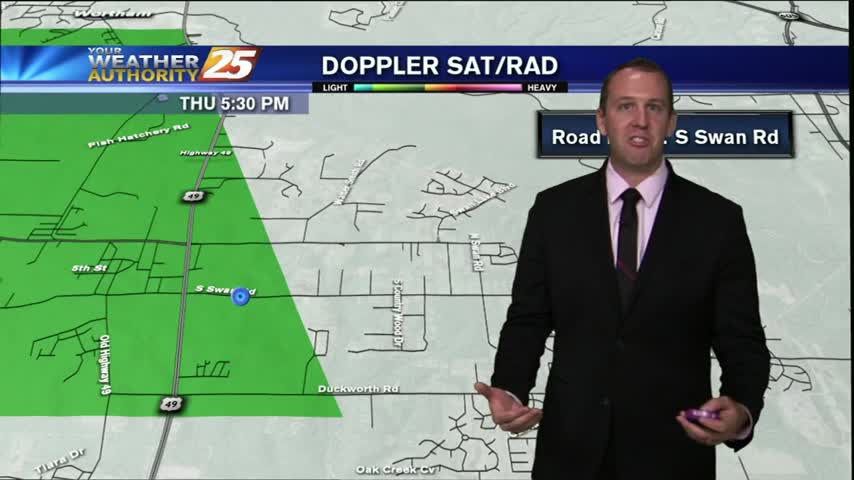
It might as well be Thunderstorm Thursday today, but then tomorrow would have to be "Thunderstorm Friday," due to very similar conditions, which doesn't have the same ring to it. The showers moved in early and kept hammering the Coast…
After a good bit of rainfall yesterday, isolated moderate/heavy rainfall is already in the area...
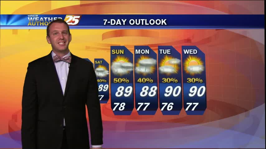
It certainly seems to get a bit calmer at night, but make no mistake about it, the showers will return very soon (not that they ever really leave). Now that the Sun has gone down we're seeing many of these…
The forecast for the week has been spot on so far, and today's wet Wednesday is only the beginning. Expect showers and t-storms to continue over the next few hours but will begin to weaken after sundown. Tonight's low will…
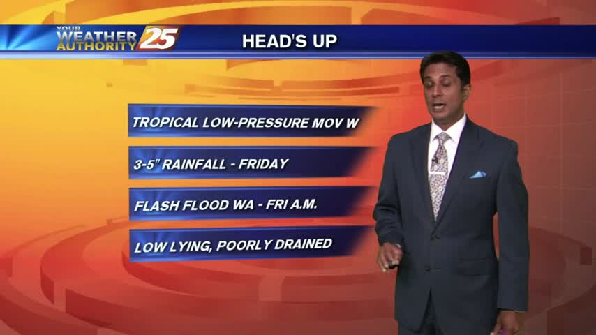
A dry and mild start this morning before the potential for HEAVY RAIN moves in this afternoon...
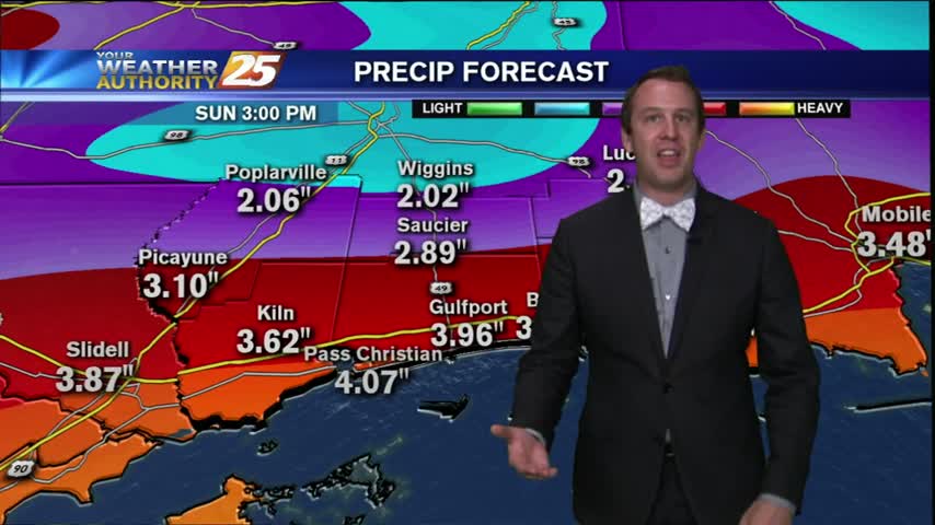
Today started off as a hot and humid day, but quickly became a stormy Tuesday thanks to a lower convective temperature. Right around 9 PM though, the storms quickly began to dissipate as they were cut off from their primary…
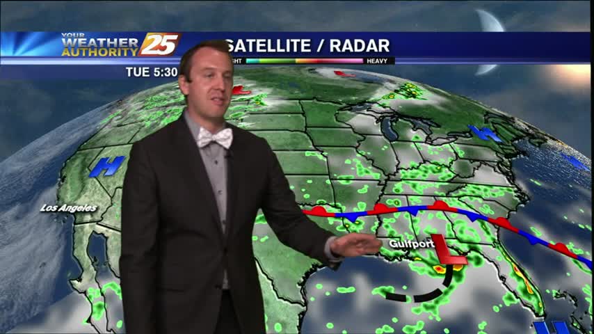
It's been a very wet Tuesday afternoon so far, and I'm not expecting it to let up until later on this evening. Showers will continue to track towards the Southeast across the viewing area for the rest of the night,…
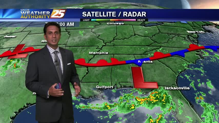
A mild start this morning with mostly cloudy skies and areas of light fog...along with isolated showers over the sound.
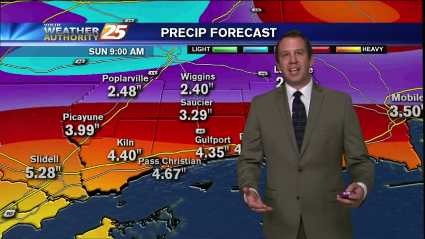
If we had a weather road sign for the forecast it would read "Danger: Rainy Week Ahead." An area of tropical moisture has set up shop in the panhandle area of Florida and is not expected to move far, and…
To kick-off the workweek, we have mostly cloudy skies with a beautiful sunrise. Heavy rain is on the way...
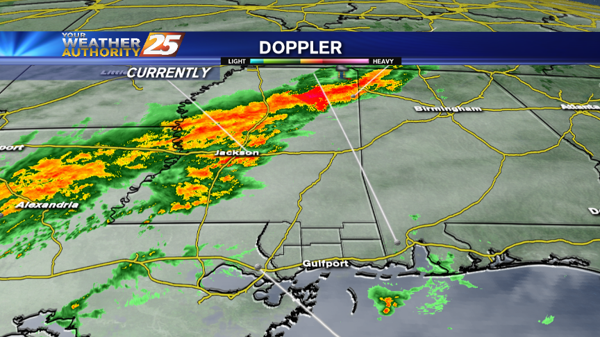
Should we expect tropical developments to affect the Mississippi Gulf Coast? Find out in Steve's forecast!
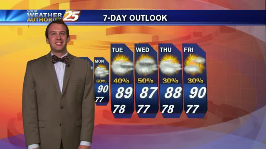
It was a much calmer Friday today, especially after the strong storms that moved through early yesterday afternoon. Late in the evening, thunderstorms moving South from the Hattiesburg area began to approach the six coastal counties, but the storms ran…
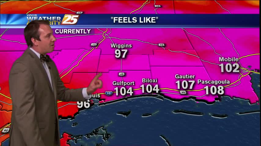
Much more stable conditions are leading to a much more beautiful Friday than what we saw yesterday. Some heat driven t-storms are beginning to pop up on the Western edge of South Mississippi, but it doesn't look like much rain…
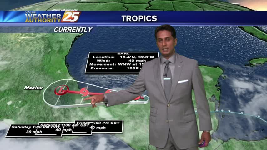
Slightly cooler start this morning as temps are in the low 70s with a pleasant NW wind, BUT hot & humid will continue...
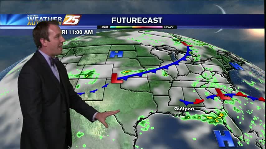
What a day we had for weather in South Mississippi today! In yesterday's forecast I called for partly cloudy skies and a 30% chance of rain, but we ended up with a bit more than that. Always one to admit…
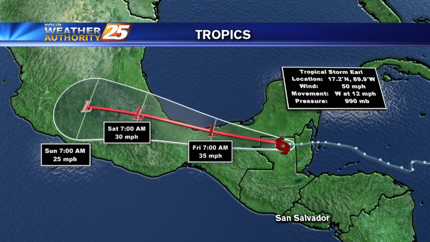
Rain and thunderstorms may dot the area later today and again over the weekend. We're also keeping a close watch on Tropical Storm Earl in this forecast with Meteorologist Steve Taylor.