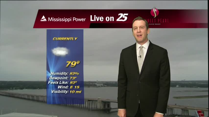
10/02 Ryan's "Dreary" Monday Night Forecast
Rain was expected to begin this week, but much drier and more sunny days are on the way. Watch for details.

Rain was expected to begin this week, but much drier and more sunny days are on the way. Watch for details.
I expected this week to begin with clouds and rain, but we'll see clear and dry weather again very soon. Click the link for the full forecast.
This morning started out cooler with breezy conditions along with isolated rain moving in from the SE. The activity continues with more activity developing...poised to move into he area this afternoon...
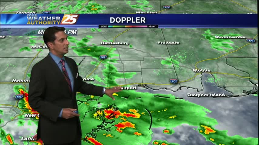
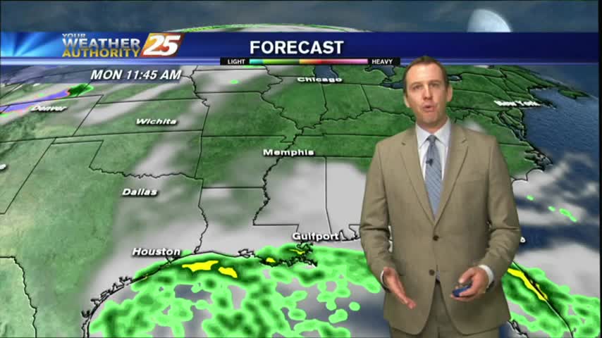
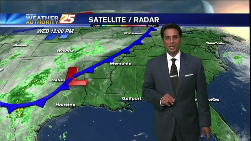
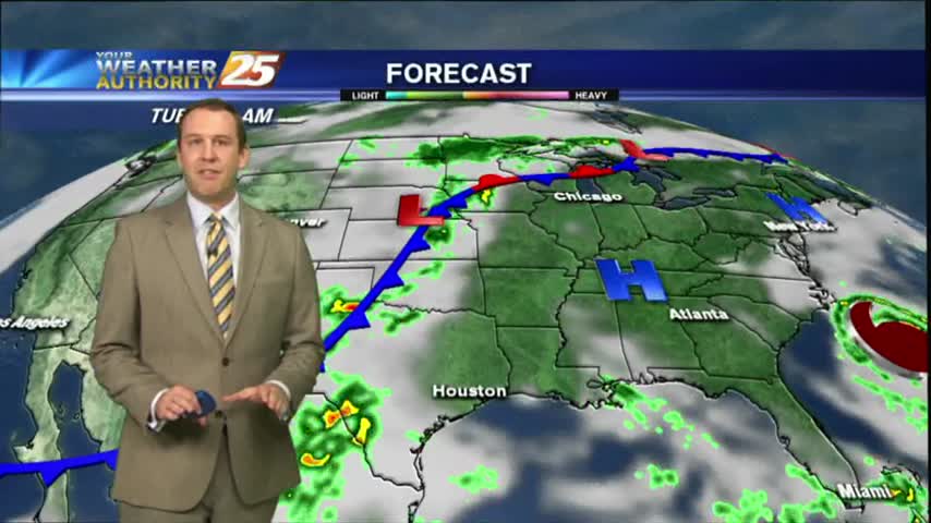
As a tropical wave moves across the N'tern Gulf of mexico, rainfall has already begun to move into the coastal counties...
Expect overcast and on and off showers and thunderstorms for your Monday.
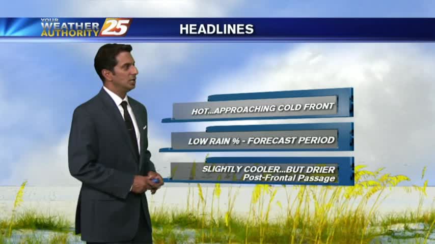
The air stayed dry today, and the temperatures remained high, but cooler conditions (and now a little rain) will arrive soon. Details within.
After a mild start to the day with decreased humidity...temps continue to warm into the upper 80s/90 degrees under SUNNY skies.

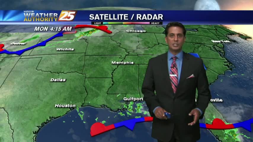
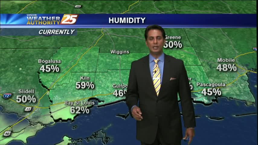
In the wake of a weak cold front which moved through last night, it's a mild start with slightly lower humidity...
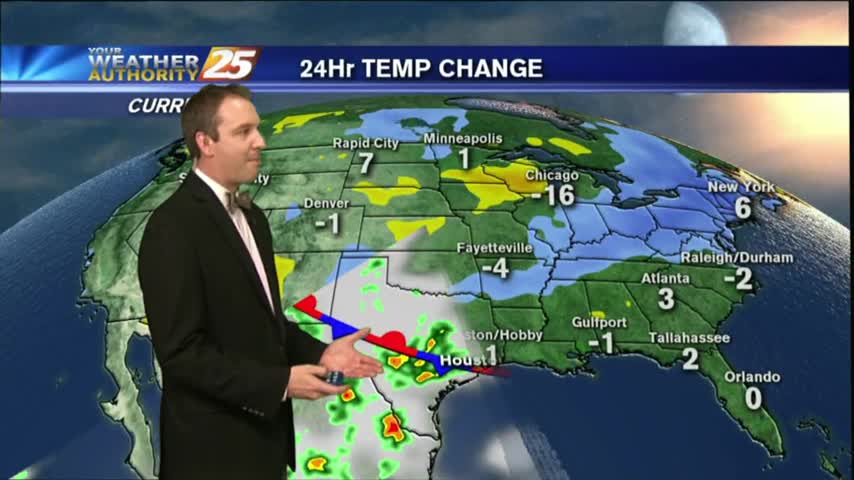
Cold front moved through earlier today, but the cooler air will take a bit longer to filter in. Watch the full forecast for details.
After a humid start to the day, temperatures will continue to warm into the upper 80s/90 degrees this afternoon...

With an approaching cold front from the west, it's a warm/humid start to the day with areas of patchy fog...
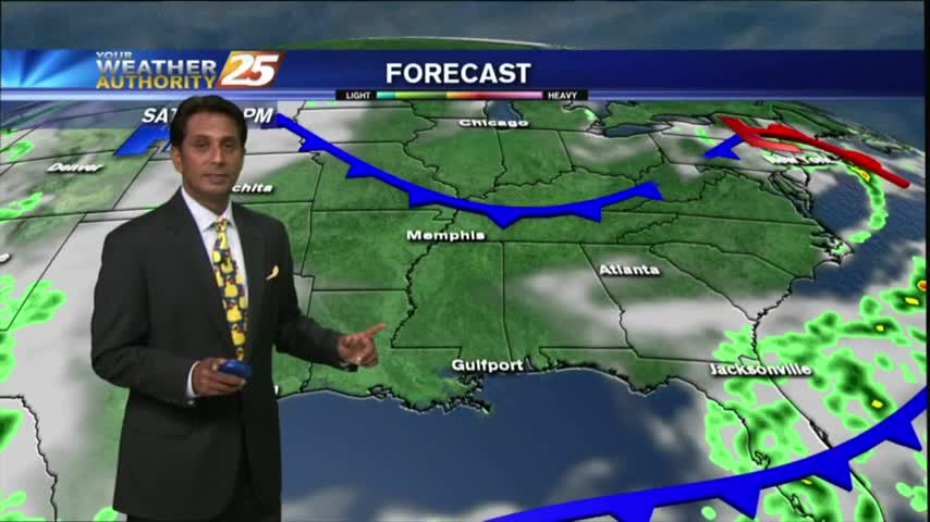
Temperatures remain warm, and the humidity is high tonight, but a cold front is expected tomorrow that will finally shake things up. Click the link for details.
Warming temperatures and VERY HUMID conditions this afternoon, but no showers/t-storms just yet...
A mild start with areas of light patchy fog and very isolated showers moving in from the south...

The summertime weather continues to linger in South Mississippi, but we're finally starting to see some fall-like conditions popping up on the 7-day forecast. Click the link for details.
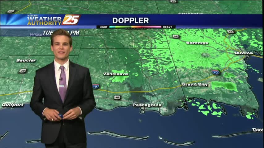
Showers and thunderstorms that moved off the waters this morning continue to slowly dissipate, but we could see more this afternoon.
Seeing a few showers in the area this morning ,but drier weather is on the way.
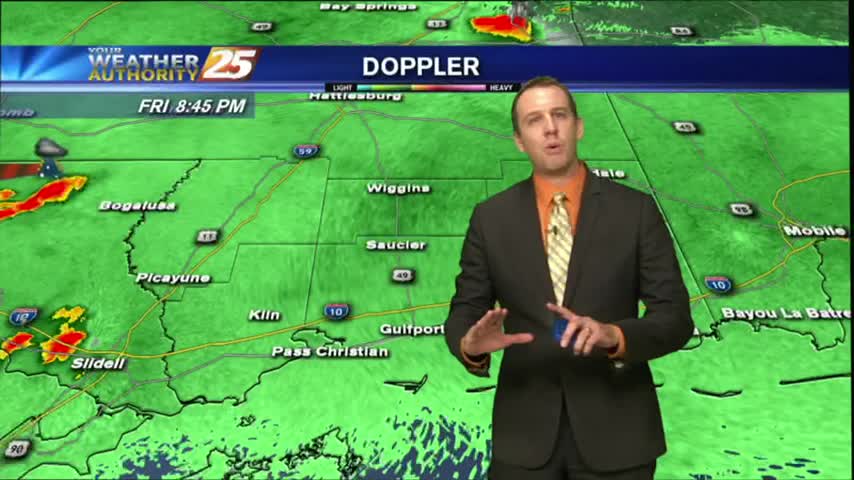
Fall may have arrived on Friday afternoon, but the weekend still felt like summer. We'll see cooler/drier conditions soon though, click the link for details.
Showers and thunderstorms are starting to develop across the area this afternoon.

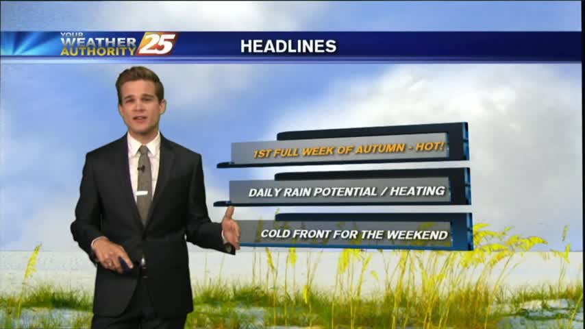
A mild start to the 1st full week of autumn...with showers/t-storms moving into the area from the SE...
It was another warm and humid day with showers and thunderstorms.
Today was the first offical day of fall, but you wouldn't know that from the temperature or humidity. Those days are ahead, but we've got several more summer-like days first. Click link for the forecast.

After a mild and humid start to the day, temperatures continue to warm...and expected in the upper 80s to low 90s this afternoon as we ring in Autumn...

A mild and humid start to the final morning of Summer 2017. The SUMMER-LIKE temperatures will unfortunately continue...