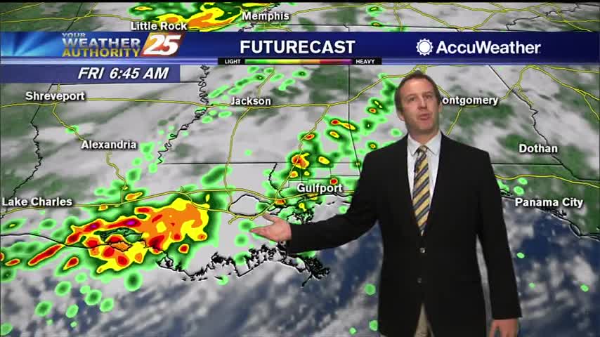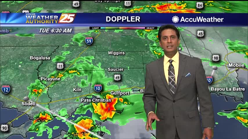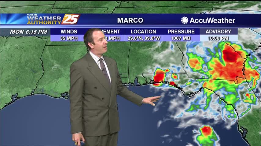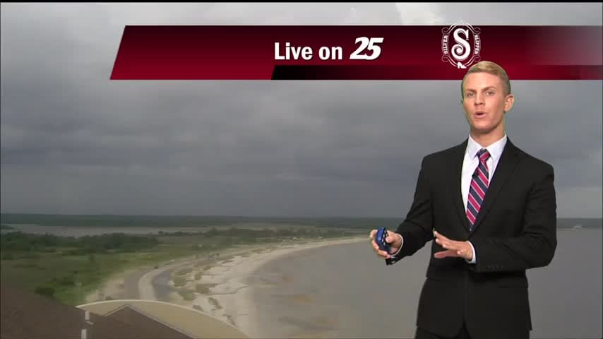
08/28 – Brantly's "Wet Weather Continues" Friday Evening Forecast
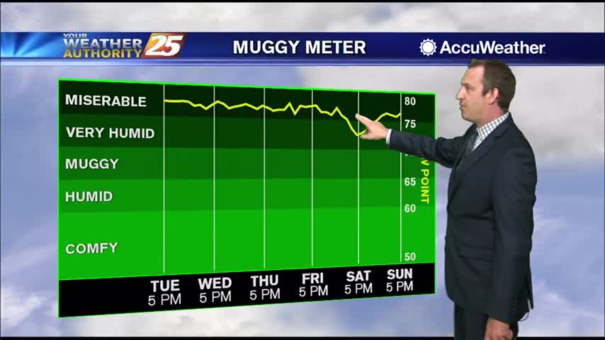
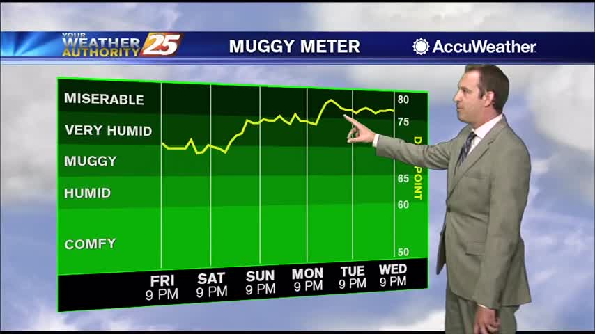
Tonight, partly cloudy skies with a small chance for rain. Overnight lows should drop down to the mid-70s. Saturday, high temperatures should get up to the upper 80s with some areas even hitting 90 degrees, but it’s going to feel…