12/15 Ryan's "More Active" Tuesday Night Forecast
Our last front moved through Sunday with very little fanfare, but tonight's will be slightly more organized...still clearing out quickly though.
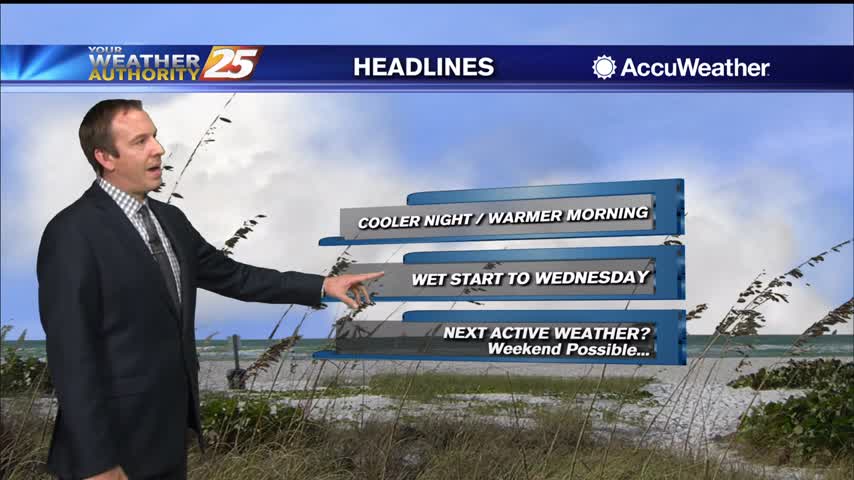
Our last front moved through Sunday with very little fanfare, but tonight's will be slightly more organized...still clearing out quickly though.
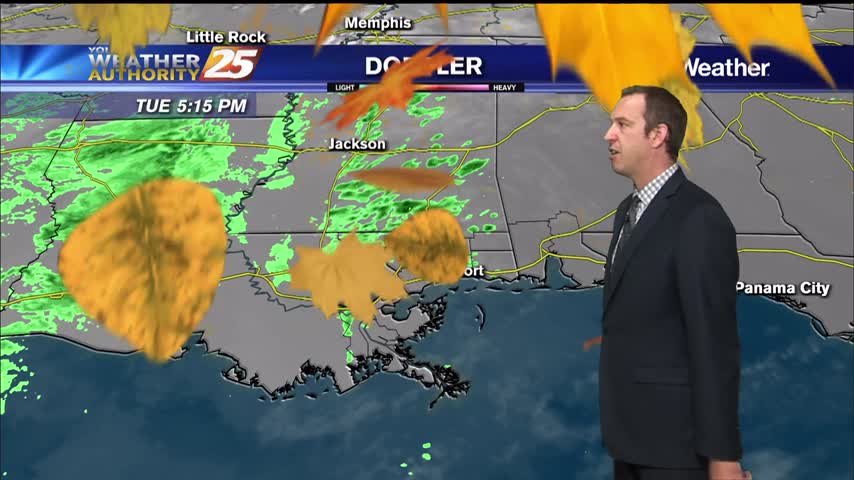
Still cloudy from the weekend, but now rain is starting to pop up and will become more frequent through the night.
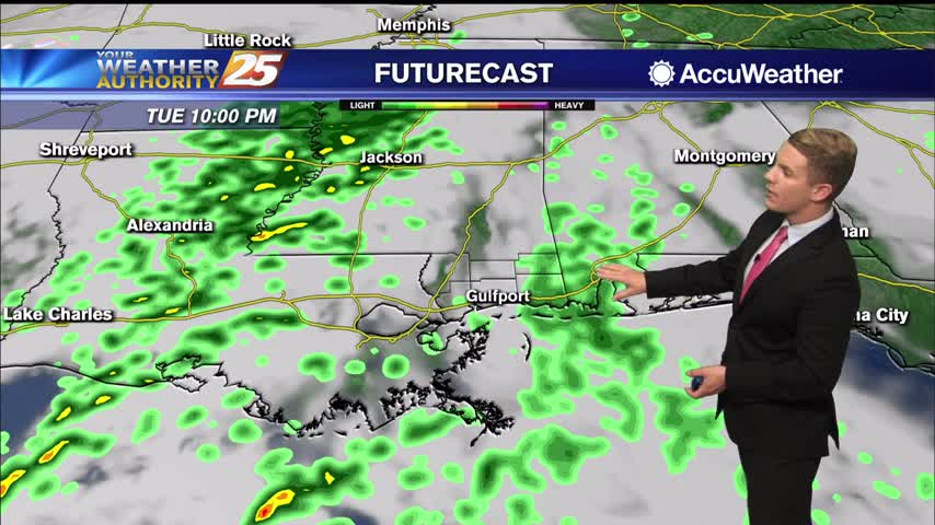
A mid/upper level shortwave trough will traverse the Plains today, reaching the ArkLaTex region by late tonight into early Wednesday morning. Zonal flow will then take hold aloft over the northern Gulf coast as this feature passes to the east…
Much colder tonight after a front, but the change will be short lived as we'll see another, stronger front by Wednesday morning.
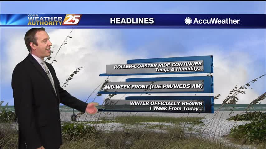
Clouds will darken the first part of the week, but we'll finish with sunny, dry weather....
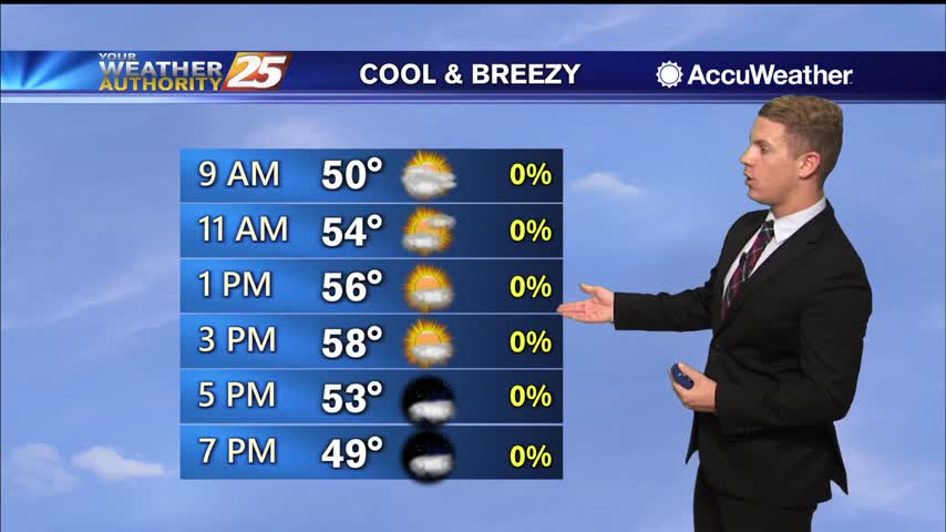
Cooler and drier conditions are expected for both Monday and Tuesday as high pressure dominates the region. As the next system drops southeast across the Rockies and into the Plains Tuesday, conditions will begin to moderate with highs expected to…
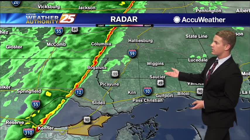
Cooler and drier conditions are expected for both Monday and Tuesday as high pressure dominates the region. As the next system drops southeast across the Rockies and into the Plains Tuesday, conditions will begin to moderate with highs expected to…
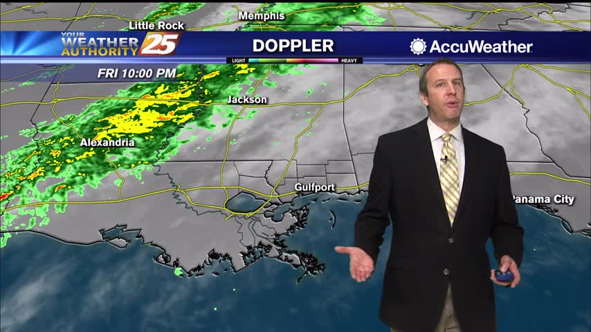
Our first clouds arrived today, and we'll see a few rounds of rain this weekend before things clear out again....
Finally cloudy after a week of boring, beautiful, and dry weather, but rain holds off until the weekend....
Quite the foggy night ahead, even more so than last night which crept up on us a little bit....
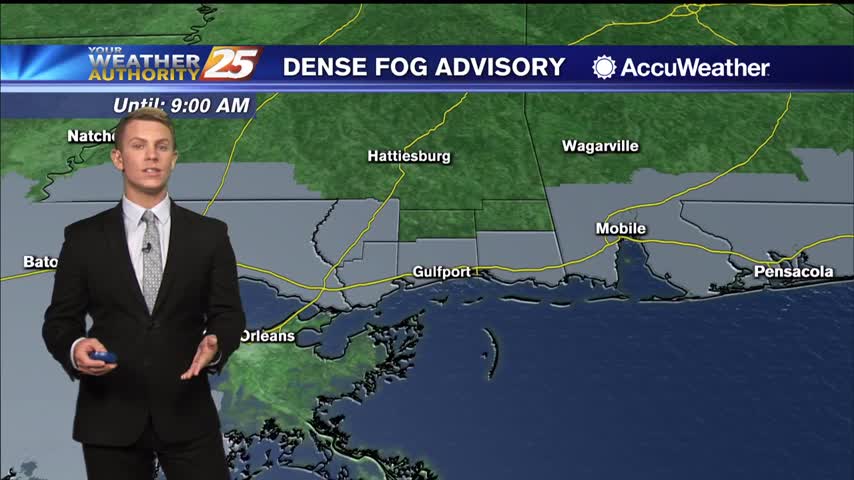
An area of low pressure is forecast to lift northeastward across the Upper Midwest and toward the Great Lakes Friday night into Saturday, while an attached cold front gradually pushes across our forecast area sometime Saturday afternoon into Saturday evening.…
Other than it getting warmer and slightly more humid, not much has changed from Monday, but bigger changes are on the way.
The warming trend continues and will take us into the 70s as we head into the weekend...right as rain returns as well.
We're in the midst of a nice, quiet pattern for the rest of the week, but rain does return eventually....
Another quiet day for today with another on tap tomorrow, though it does start warming significantly towards the end of the week.
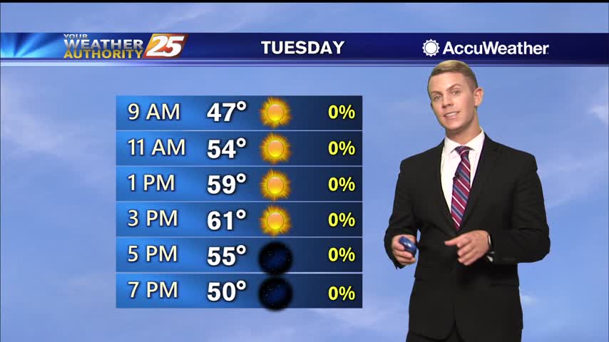
Cooler and drier weather will persist through the middle of the week. With high pressure building into the region, expect light, northwesterly winds to continue through the day on Tuesday before gradually turning westerly as the surface high slides east…
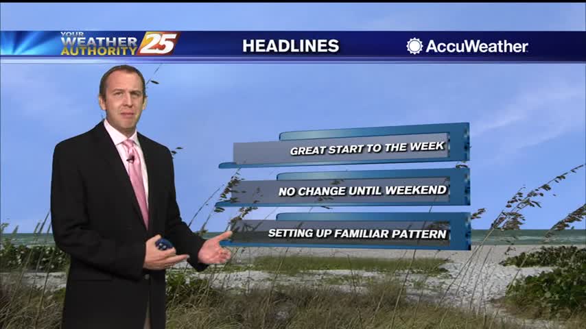
Another new week, another cold, dry airmass moving in to start us off with beautifully sunny weather.
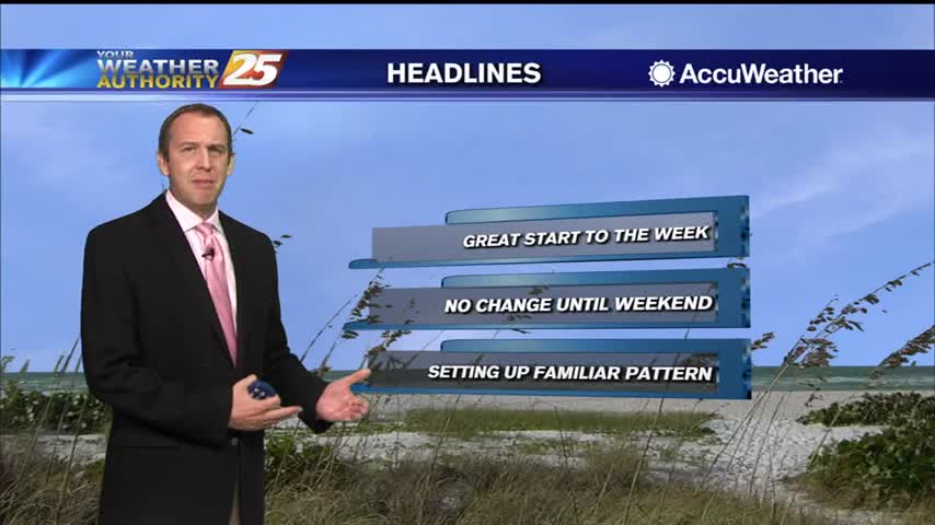
A cloudy and wet Sunday is now behind us, and the week ahead is looking bright and sunny!
Cooler and drier weather will persist through the middle of the week. With high pressure building into the region, expect light, northwesterly winds to continue through the day on Tuesday before gradually turning westerly as the surface high slides east…
Cooler and drier weather will persist through the middle of the week. With high pressure building into the region, expect light, northwesterly winds to continue through the day on Tuesday before gradually turning westerly as the surface high slides east…
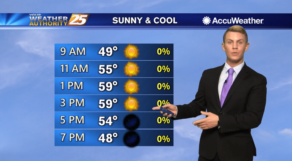
Conditions will rapidly improve after this batch of rain pushes east of the area late this evening. Expect to see clear skies in place across the area by tomorrow morning. Cooler and drier weather will persist through the middle of…
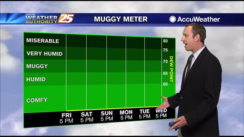
Front brought active weather last night and is bringing cooler, drier weather in for the weekend and most of next week.
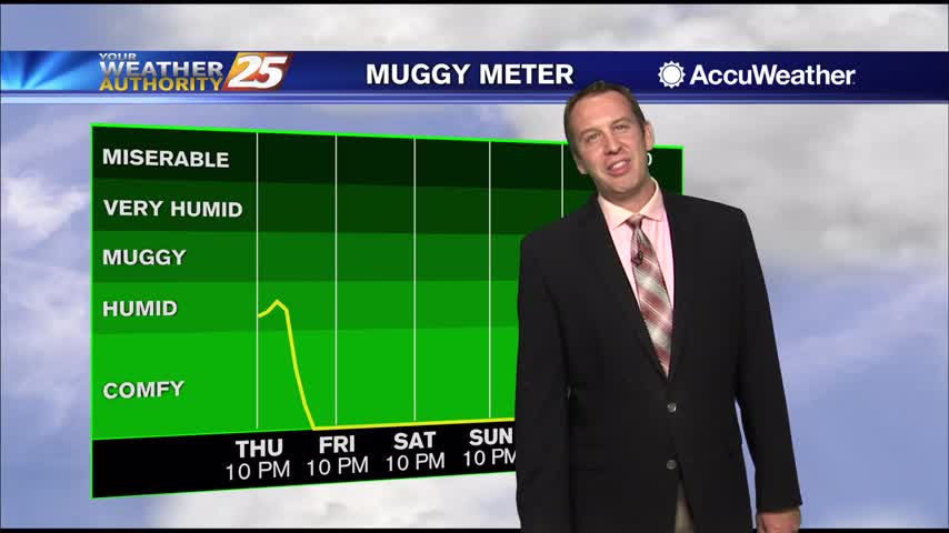
Here comes the rain we've been talking about all week long, but it will be gone by tomorrow afternoon....
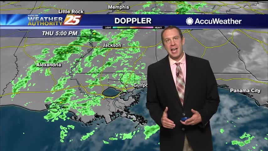
The clouds began moving in last night while the rain waits until tonight, but it'll all bring us cooler and drier weather for the weekend.