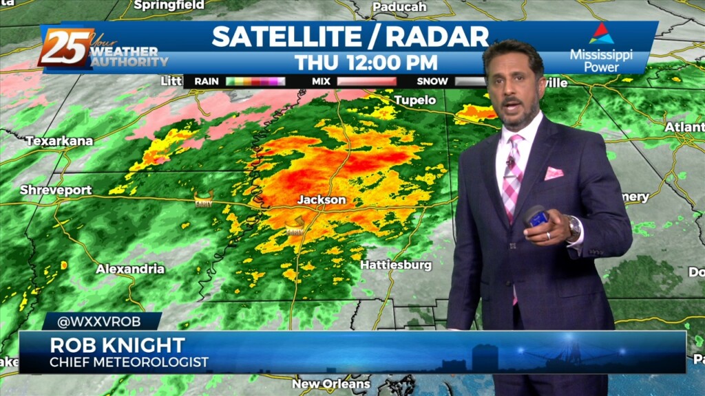
2/16 - The Chief's "Severe Weather Potential" Thursday Afternoon Forecast
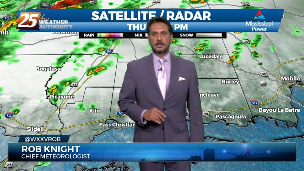
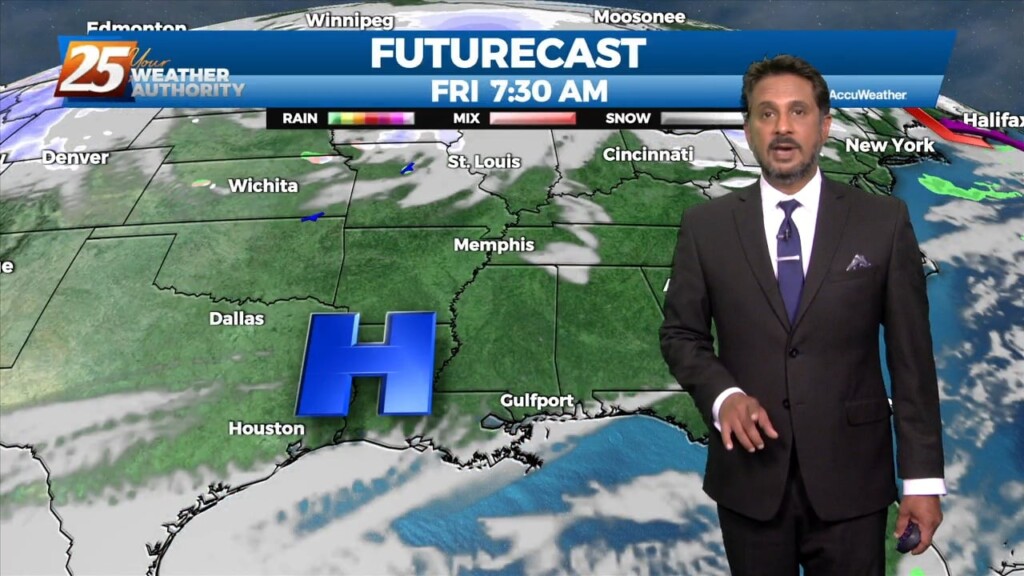
The threat for severe weather will be in the area this afternoon/evening with a cold front approaching from the west. Severe weather variables are not remarkable…
The threat for severe weather will be in the area this afternoon/evening with a cold front approaching from the west. Severe weather variables are not remarkable…
The old stalled cold front that retrograded west has primed the area with warmth and instability. But there is still a weak cap in the low levels…
The cold front that was moving toward the area yesterday slammed the brakes and stalled to the west. The next front will actually make it through…
A cold front moving toward the area today will do so at a rapid pace but will not only pump the brakes but will stand on them…
With moisture getting lifted over the colder air near a boundary to the east, we’ll likely be seeing precipitation pretty much all day today, but expect…
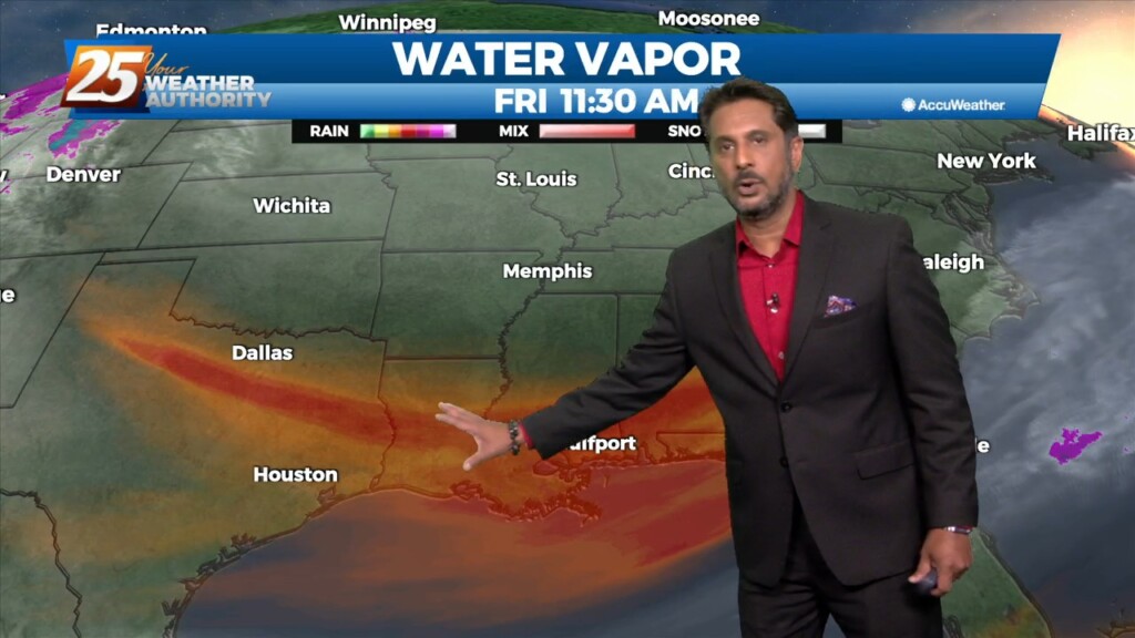
On water vapor satellite imagery, a plume of moisture was noted from the Pacific Ocean south of Baja California northeastward across the local area. At the surface,…
With the cold front east of the area and the upper level support moving north-northeast, the front won’t make a lot more progress much further eastward…
The upper system is quickly lifting northeastward through Missouri toward the Great Lakes, with the next disturbance quickly on its heels moving through the northern Rockies. Line…
High pressure centered over Florida this morning, with an upper level disturbance to the west with an associated surface cold front. Light southeast winds continued…
At the surface, high pressure was along the Atlantic Coast with an area of low pressure over western Ontario had a cold front to near Chicago, St. Louis,…
A beautiful start to our workweek is expected with high pressure remaining in control over the area. Afternoon high temperatures will sit in the low to…
Sunny skies and windy conditions will prevail this afternoon, with clear and cold conditions overnight. The biggest concern for the weekend is going to be…
Today will bring clearing skies early this morning with windy conditions through today as high pressure settles in from the north. The biggest concern for the weekend…
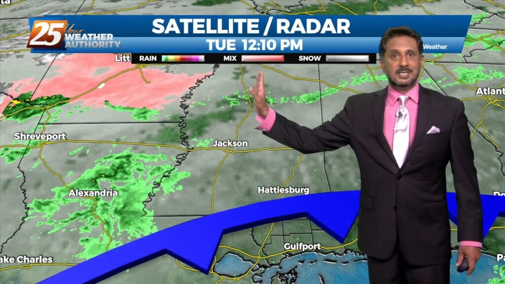
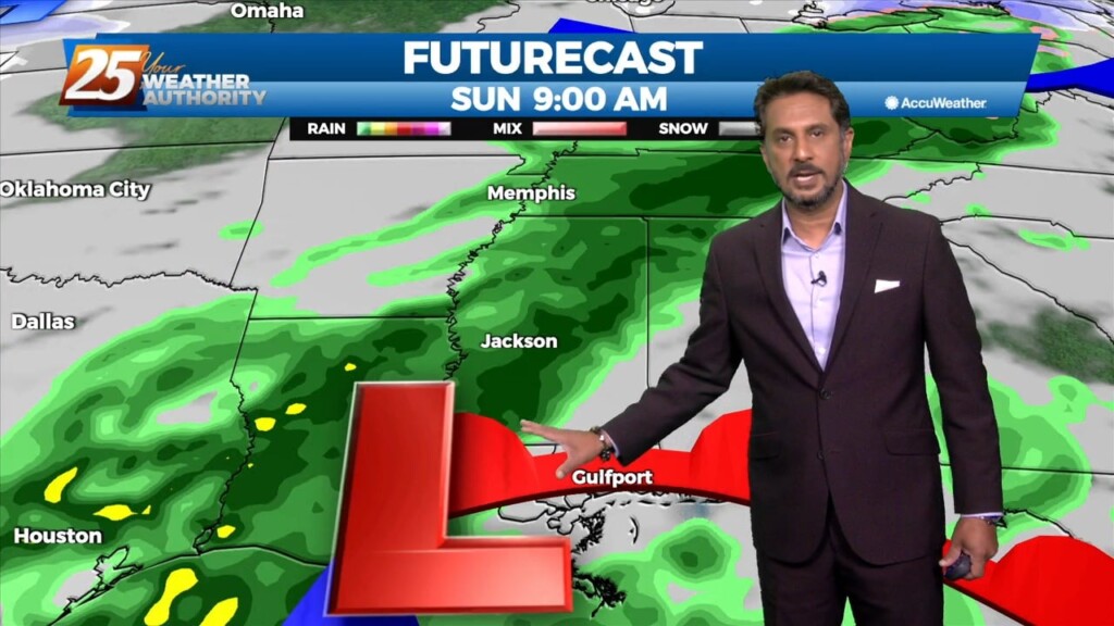
Areas of rain including a few t-storms will move in this afternoon as a low pressure and attendant cold front lifts NE. The low pressure will move…
Finally seeing the models come into solid agreement on every variable and this has caused some sudden moderate changes in severe wx and rainfall risk levels…
The front has made it to the coast and now just to the south of the area. Not a lot of changes from current thinking, more…
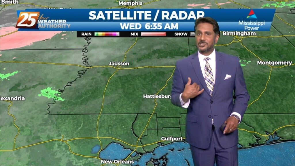
A weak cold front overhead will slowly move to the south as fast as molasses in winter. It will take from now until just before…
A stalled cold front is just inside the NW portion of the area this morning. The front will move SE as fast as molasses in winter. It…
At the surface, high pressure was centered near the Sabine River. High pressure will slide eastward to the Carolina coast by Saturday evening. This will allow…
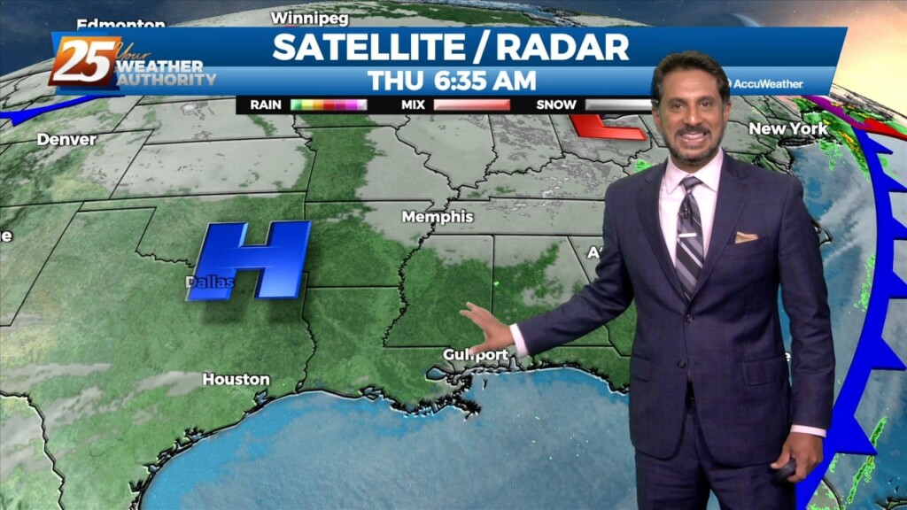
There is SW’erly upper flow across the local area this morning with an area of high pressure along N’tern Mississippi. At the surface, high pressure was centered…
A disturbance over the Great Lakes has multiple bit of energy rotating through it. Flow is currently zonal across the southern states, with one disturbance exiting through…
With strong cold air advection and cloud cover, temps will not warm and may actually drop off a few degrees this afternoon. Winds will also…
As the cold front exits stage right, we will see temps begin to fall this morning into the 40s and 50s by mid-morning. With strong…
A warm front will lift out of the gulf and move over the area around noon today. This front will allow some showers/t-storms to develop by…