2/8 – The Chief’s Wednesday Morning “Overnight Severe Weather Potential” Forecast
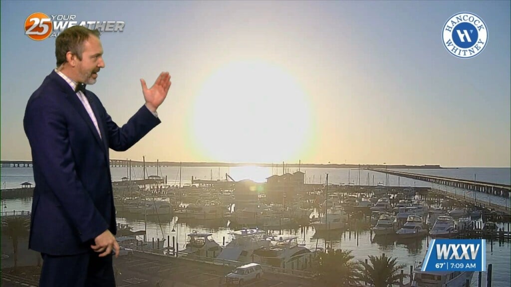
High pressure centered over Florida this morning, with an upper level disturbance to the west with an associated surface cold front. Light southeast winds continued to pump moisture into the area with temperatures and dew points in the mid and upper 60s. There are areas of advection fog noted, with a DENSE FOG ADVISORY until 9 a.m.
The main forecast concern will be the severe weather/heavy rainfall threat, which will primarily be overnight tonight. The front will accelerate northeast toward the Great Lakes this afternoon and overnight. I can’t rule out a few showers during this morning, but until the low level jet kicks in later this afternoon, we won’t have deep moisture in place. Models have become somewhat more aggressive in developing convection in advance of the cold front late this afternoon and early this evening, effectively speeding up the threat timing by a couple hours. The best instability parameters occur during the late afternoon, but the best shear doesn’t occur until several hours later when the instability is weakening. Best large scale forcing is expected to be well to the north.
We’ll hold onto the severe weather potential for this afternoon and tonight for sure, but confidence in particulars is lower than normal. The progressive nature of the convection for much of the evening would limit rainfall to 1-2 inches (spot amounts higher), but if the front hangs up in our area there’d be potential for higher amounts along the Mississippi coast. The front is expected to hang up in or near the area for much of Thursday, so we won’t dry out or clear out, unless it’s in extreme western portions of the area.
Another front drives southeastward through the southern Mississippi River Valley on Friday, it forces the frontal boundary well east of the area. Saturday might not be a very comfortable day for outdoor activities, especially in eastern portions of the area, if we don’t get any sunshine. That system moves off the coast on Sunday, with rapid moderation on Monday.


