Weather Headlines

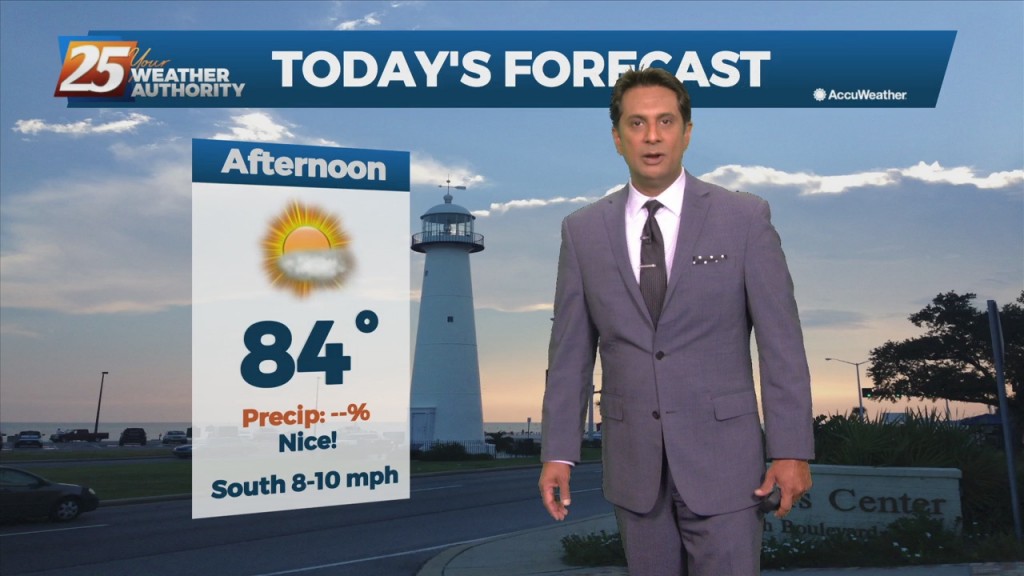
10/13 - Rob's "Nice Changes Ahead" Afternoon Forecast

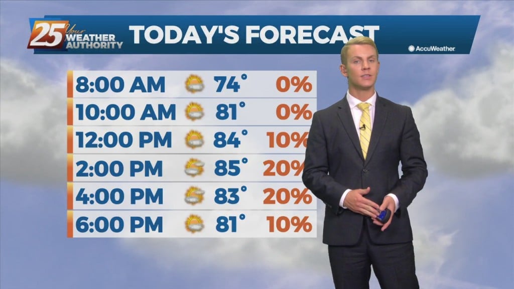
Southerly return flow around high-pressure to the east will keep us in the same weather pattern we have been in for the past week with mainly dry conditions and slightly above normal temperatures. The high-pressure will start to retreat to…
10/12 - Rob Knight's Tuesday Morning Forecast

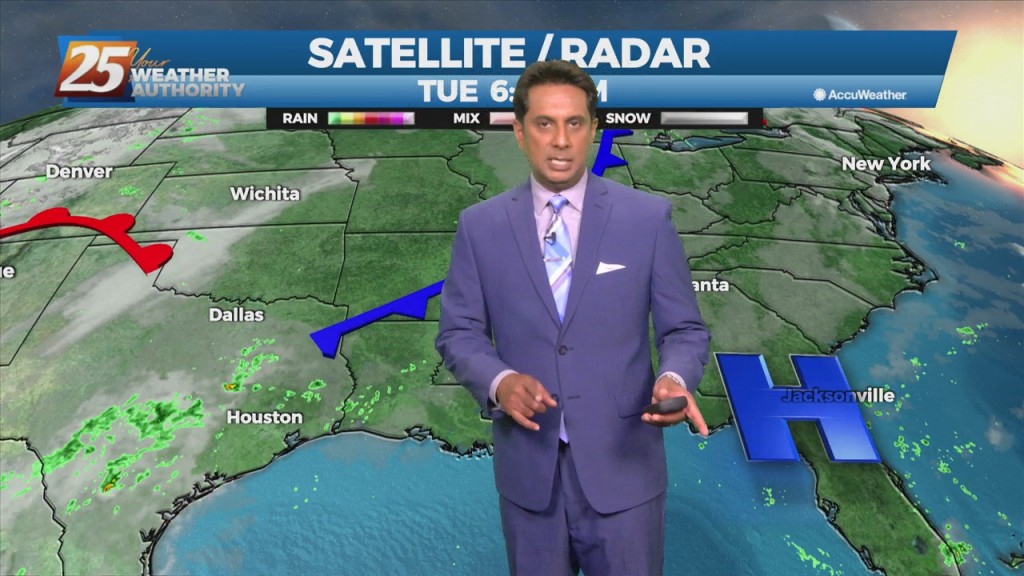
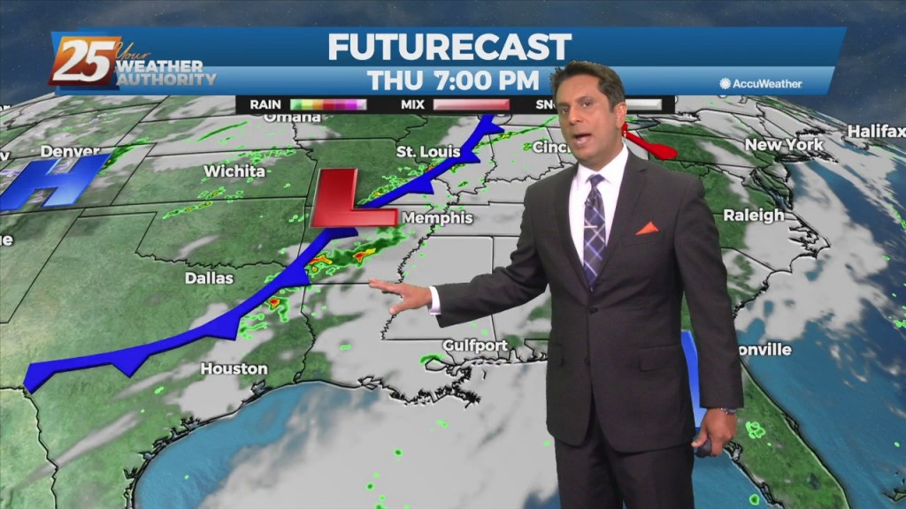
A cold front extended southward from an area of low-pressure across the Midwest, Mid-South, and then southwestward across central and southwestern LA. This will be about as close the front will make it to our area as southerly return flow…

10/11 - Rob's Monday Afternoon "Warm/Humid" Forecast

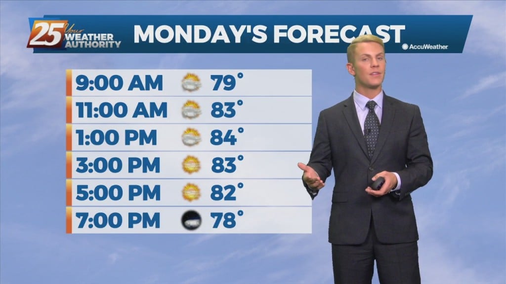
High-pressure is expect to pretty much remain in place through the short range portion of the forecast. An approaching cold front to the NW will slowly move E/NE and ride north of the Hattiesburg area. By late Tuesday through Wednesday…

10/11 - Rob Knight's "Columbus Day" Morning Forecast

Upper level high-pressure is expect to pretty much remain in place through the short range portion of the forecast. An approaching cold front to the NW will slowly move E/NE and ride north of the Hattiesburg area. By late Tuesday…

10/08 Ryan's "Coolest" Friday Night Forecast

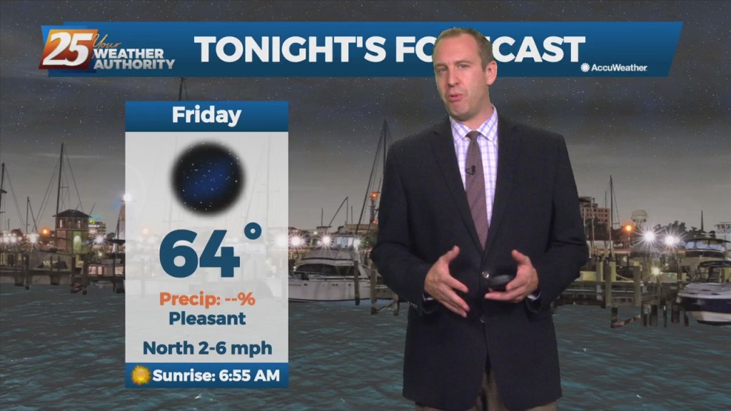
Expect another sunny day tomorrow afternoon, but also our coolest start of the week as well. Otherwise, don’t expect any big changes, and tomorrow afternoon will likely even warm…

10/08 Ryan's "Peak Sun" Friday Evening Forecast

Expect peak sun content tomorrow afternoon, but things will finally start cooling off soon. Don't expect any big changes, and tomorrow afternoon will likely even warm a degree…

10/8 - Rob's "Cruisin' The Coast" Weekend Forecast

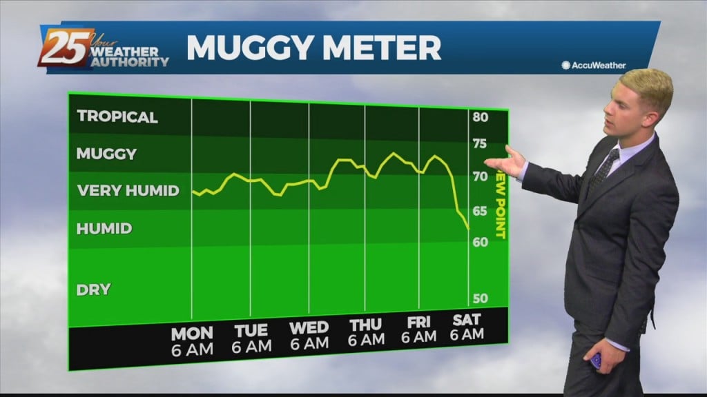
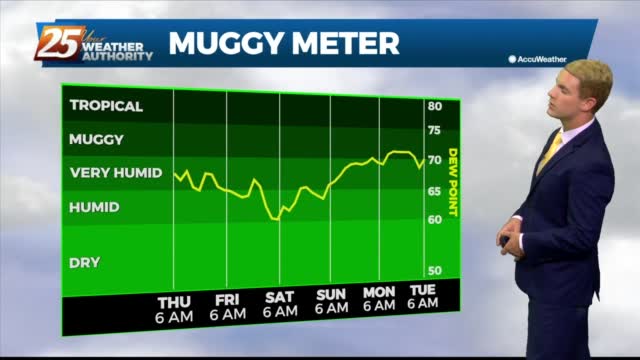
High-pressure NW will slowly move SE into the region this weekend. This will keep dry weather and lower humidity over the forecast area, although humidity levels/dew-points will be coming up slightly on Sunday to more muggy readings. Diurnal temperatures…

10/8 - Rob Knight's "Pleasant" Friday Morning Forecast

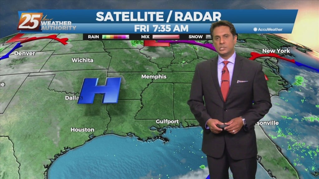
The persistent mid/upper low-pressure over the mid-Mississippi Valley will finally lift northeast to the Great Lakes region through tonight. This will be replaced by an upper level high-pressure building in from the southern plains into the Gulf Coast region. Surface…

10/7 - Rob's "Beautiful" Friday-Eve Morning forecast

High-pressure moving into the region along with a much drier air mass will dominate the forecast through the weekend. This will bring skies clear, and winds on the light side. A change from yesterday with model guidance now showing the disturbance…