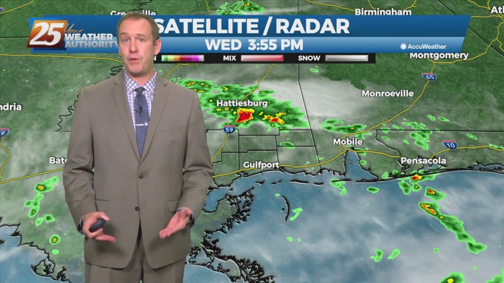
10/20 Ryan's "Wet" Wednesday Evening Forecast
Today brought our first wet weather in over a week as much drier, cooler weather has dominated until now. That changed quickly last night as warmer, more humid air…
Today brought our first wet weather in over a week as much drier, cooler weather has dominated until now. That changed quickly last night as warmer, more humid air…
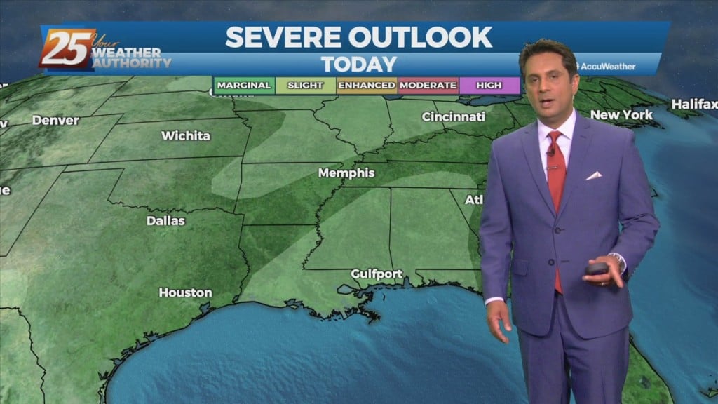
A region of high pressure NE of the area is steadily moving SE'ward, allowing for more moisture to move in from the south. A weakness in…
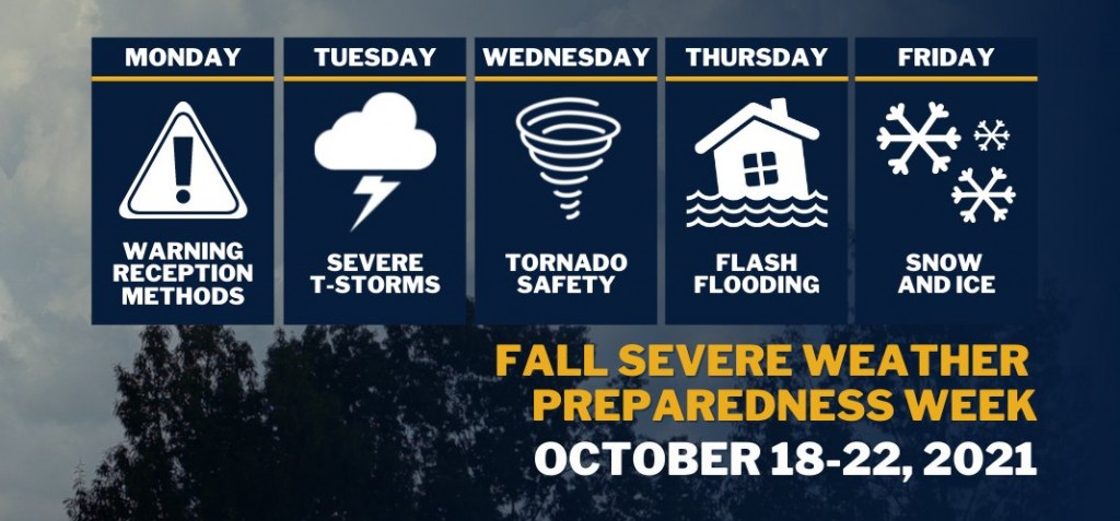
Governor Tate Reeves has declared October 18-22, 2021, as Fall Severe Weather Preparedness Week in Mississippi. “Mississippi is no stranger to severe weather,” said Governor Tate Reeves. “By preparing in advance of a storm, Mississippians can ensure they stay safe.…
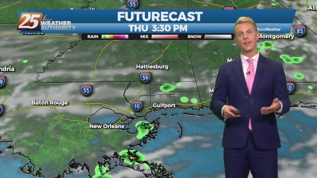
Today, wet weather returns to the forecast. We are expecting quite a bit of shower activity along with a few thunderstorms. Although there may not be more than…
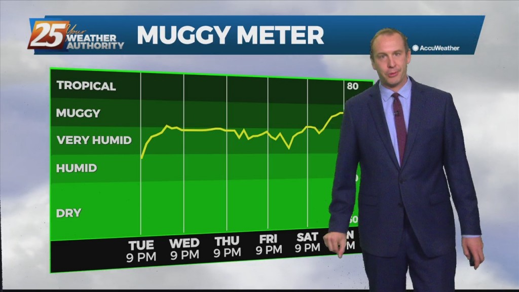
The weather has been nice since last weekend, but today was the last seasonal day we’ll see for over a week. This afternoon was still warm with lower…
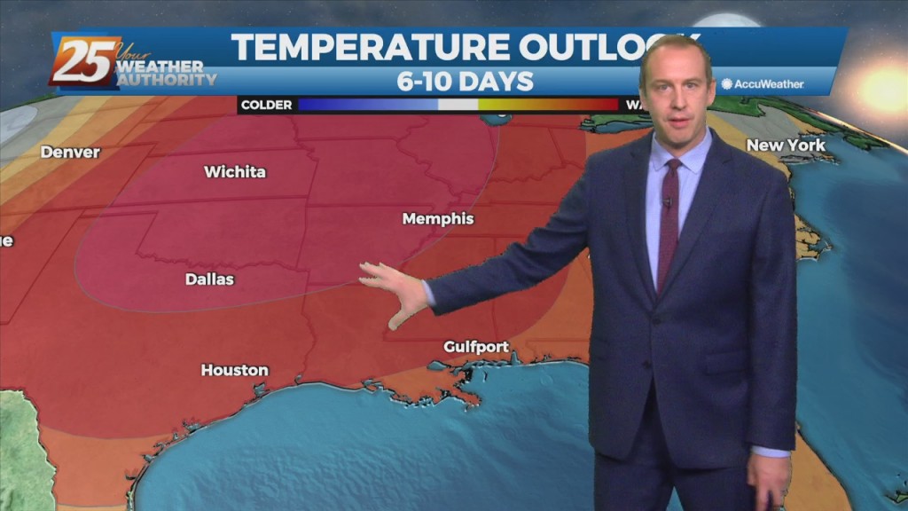
The weather has been nice since last weekend, but today was the last seasonal day we'll see for over a week. This afternoon was still warm with lower…
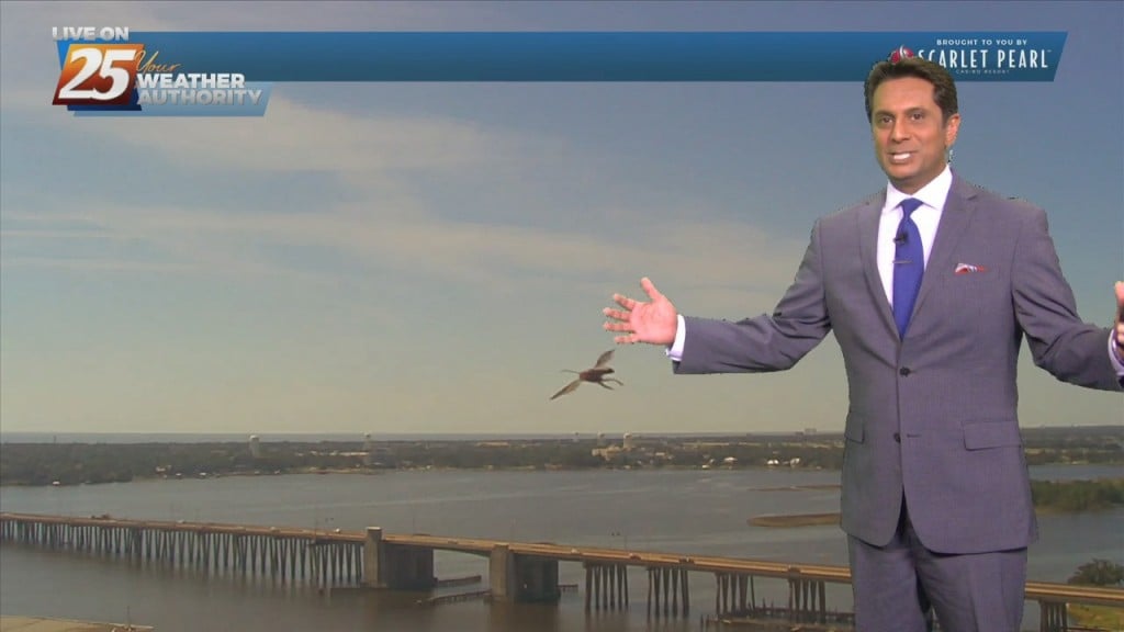
High-pressure currently extends from the Gulf Coast to the Great Lakes. A minor disturbance to he SE will move NW through the area through Wednesday night. In doing so,…
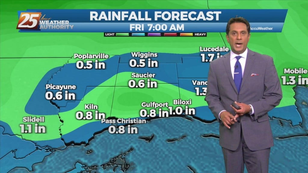
A broad upper level high-pressure extends from the Gulf Coast to the Great Lakes. A trough of low-pressure off the east coast of the country will sag southwest today. In doing so, the flow will shift to more onshore which…
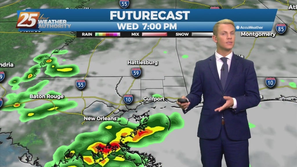
Our cool and dry pattern is starting to fade away. For Tuesday, we remain dry, however, rain chances, albeit slight, will begin to increase over the Gulf waters Tuesday afternoon as moisture increases. Going into Wednesday, as moisture spreads inland,…

Fall weather moved in over the weekend is still with us as we begin the week! Sadly, it isn’t going to hang around much longer than tomorrow.…
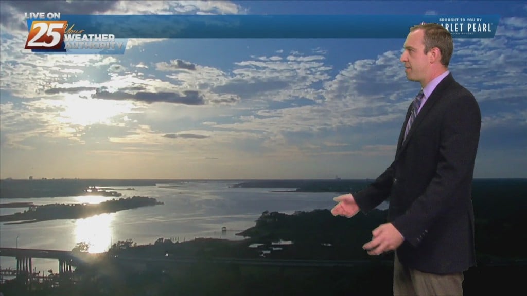
The beautiful fall weather that moved in over the weekend is still with us as we begin the week! Sadly, it isn't going to hang around much…
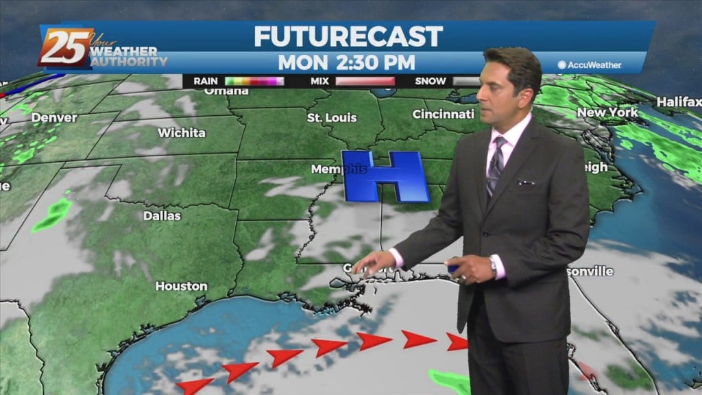
Weak high-pressure will track across the Mississippi Valley today and Tuesday. This will be the start of moderating temperatures. Highs to remain below normal this afternoon, reaching climatological normal tomorrow. Dew-points will be back in the 60s by the end…
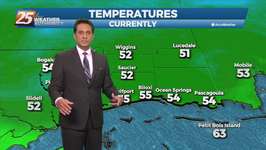
Fairly benign weather continues a couple more days with just temps and dew-points to consider. A fairly weak high-pressure system will be tracking across the Mississippi Valley today and Tuesday. This will be the start of some moderating temps. Highs…
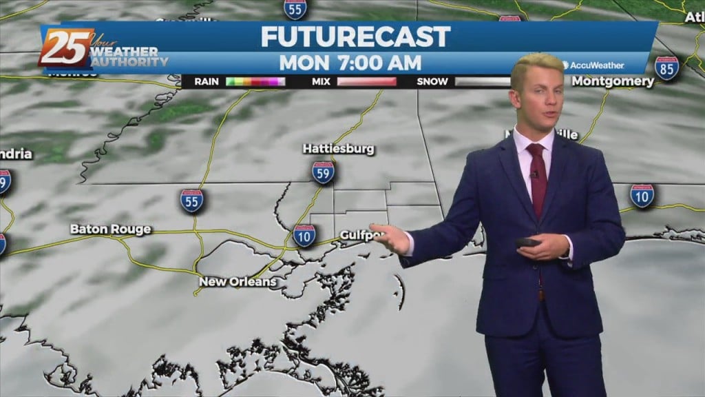
Dry weather continues through the period as a weak area of high pressure builds into the region through Tuesday. A disturbance looks to pass over the area through Monday helping to bring some increased high clouds to the area during…
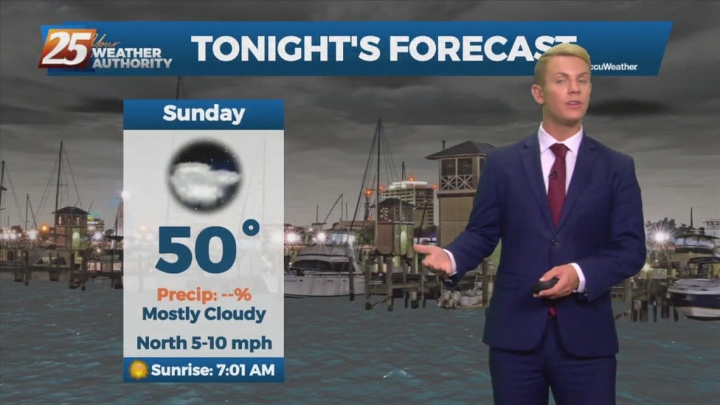
Dry weather continues through the period as a weak area of high pressure builds into the region through Tuesday. A disturbance looks to pass over the area through Monday helping to bring some increased high clouds to the area during…
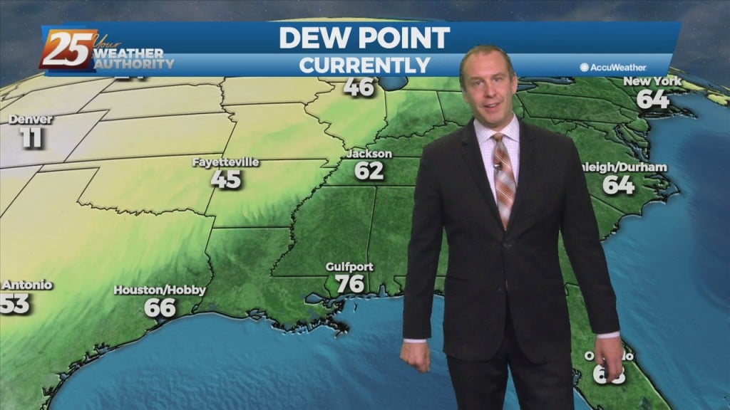
It was hot and humid as we were going to get earlier today, but tonight’s cold front will send the temperature and humidity the other direction. Don’t expect…
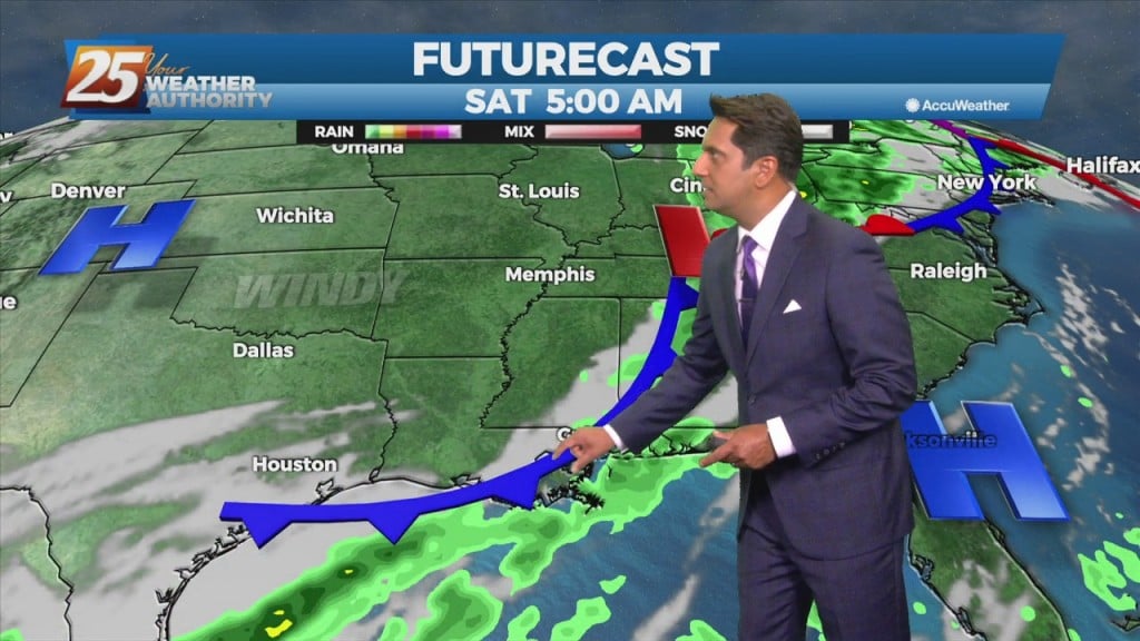
Warm & humid will continue today as an area of low-pressure along a cold front near Wichita Falls will race northeastward toward Lake Ontario by midnight tonight. The associated cold front is expected to reach northwest Louisiana by mid to…
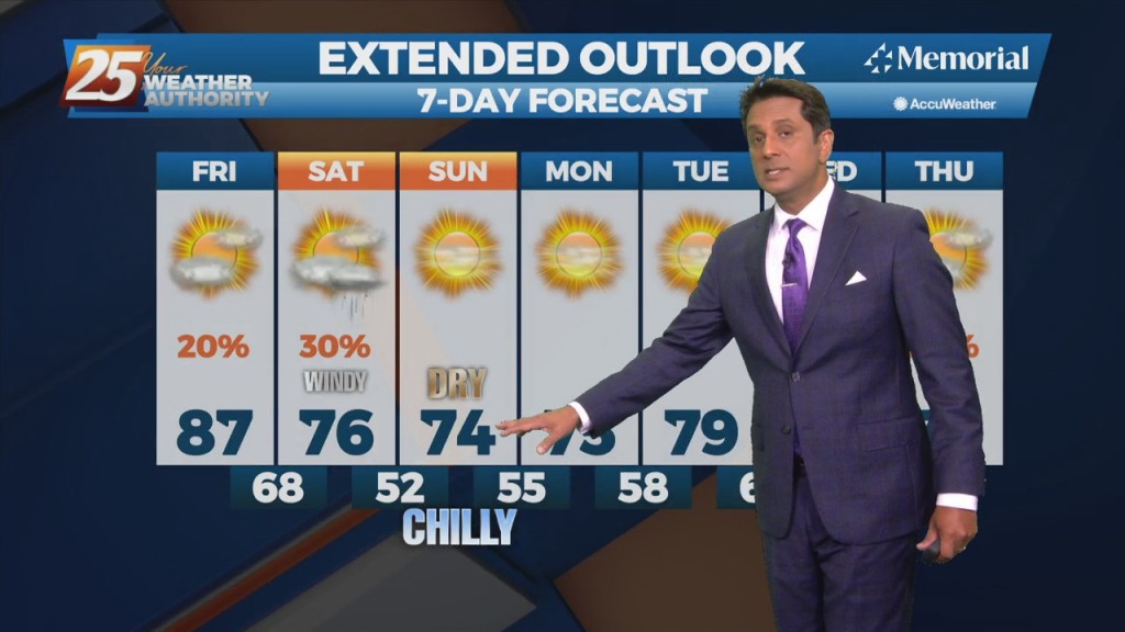
Warm & humid will continue today as an area of low-pressure along a cold front near Wichita Falls will race northeastward toward Lake Ontario by midnight tonight. The associated cold front is expected to reach northwest Louisiana by mid to late…
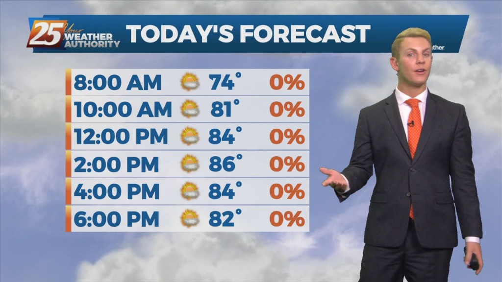
A cold front is on the way. Isolated light rain showers could also develop late this afternoon. A band of rain showers will begin to move into the northwest portion of our forecast area this evening ahead of the cold…
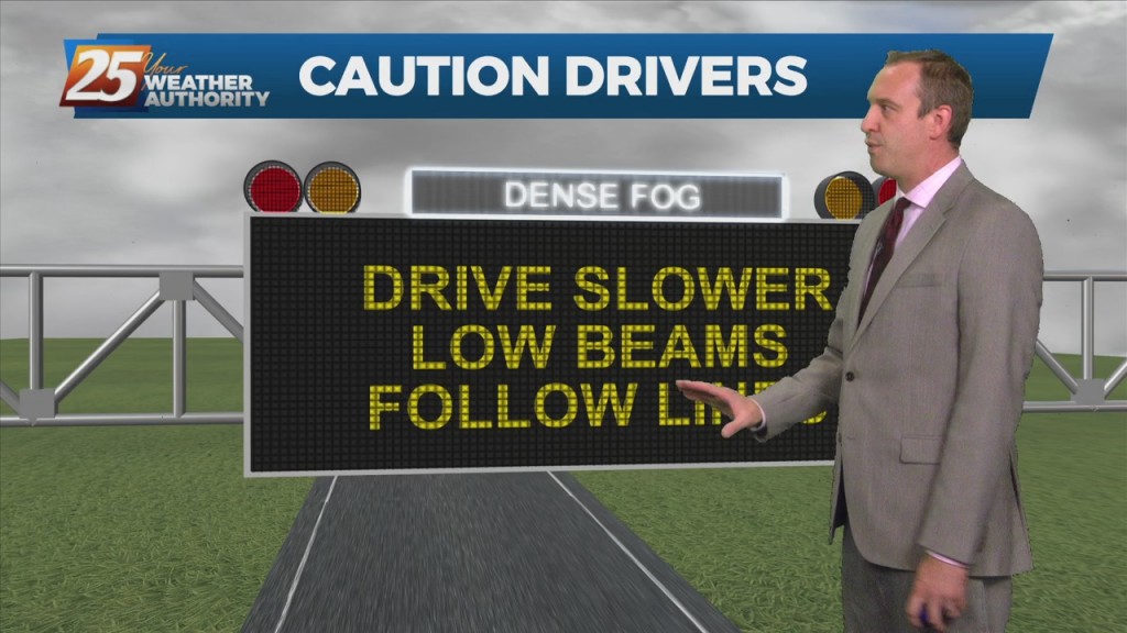
I’m sure most are sick of it, but more “late summer” weather is on the way and we're in for another foggy night. That means hot afternoons and warm,…
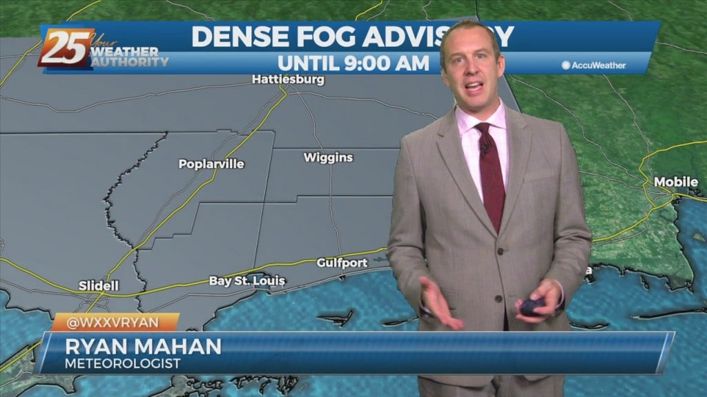
I'm sure most are sick of it, but more "late summer" weather is on the way as we finish off the week. That means hot afternoons and warm,…
A few showers will affect the area this afternoon and Friday with the approaching cold front. The main effects from the front will come overnight Friday into Saturday morning prior to sunrise. As the upper-level support begins to outrun the…
Today will bring advance moisture flow to the area in advance of a front now moving east across the southern plains. As instability slowly decreases, a few showers will be possible through tonight. A few showers will also affect the…

Our weather hasn't been bad recently, but we have seen slightly rising humidity and temperatures each day. This trend will continue for the rest of the week, ending…