4/6 - Payton's Friday Afternoon Forecast
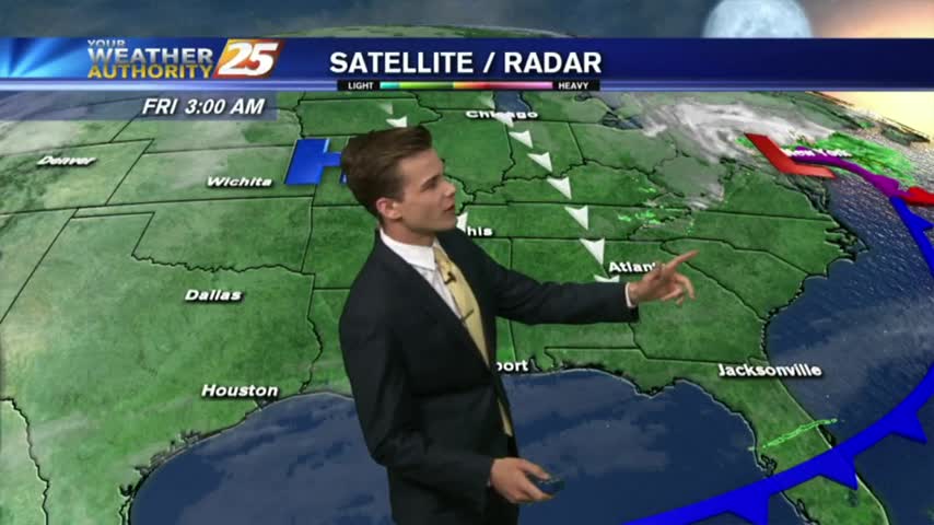
Light showers in the area, but the heaviest rain will hold off until tonight.
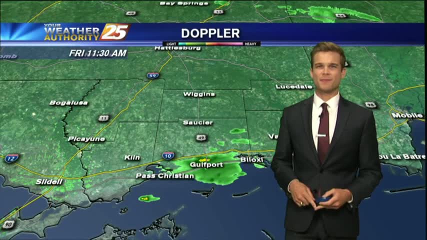
Light showers in the area, but the heaviest rain will hold off until tonight.
More clouds today, but the best rain chances continue to hold off until tonight.
Another nice afternoon, and even warmer temperatures are expected this weekend.
Weekend weather is shaping up to be picture perfect!
Beautiful weather now that the cold front has moved through.
Another morning with DISRUPTIVE weather in the form of PATCHY FOG, along with slightly cooler temps...
Clouds will continue to move in today, but the best rain chances hold off until Saturday.
Extensive cloud coverage continues but the clearing process will begin this afternoon with COLD and WINDY conditions...
A cold clear night, but things change as we head into Saturday.
Enjoy the Sun and warmer temperatures before the cold air arrives for the New Year.
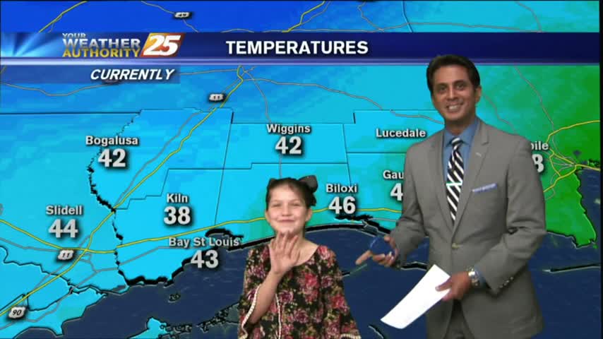
Bundle up this morning...it is freezing in a few locations.
After a VERY COLD start to the day, temperatures have warmed but still on the chilly side under sunny skies...
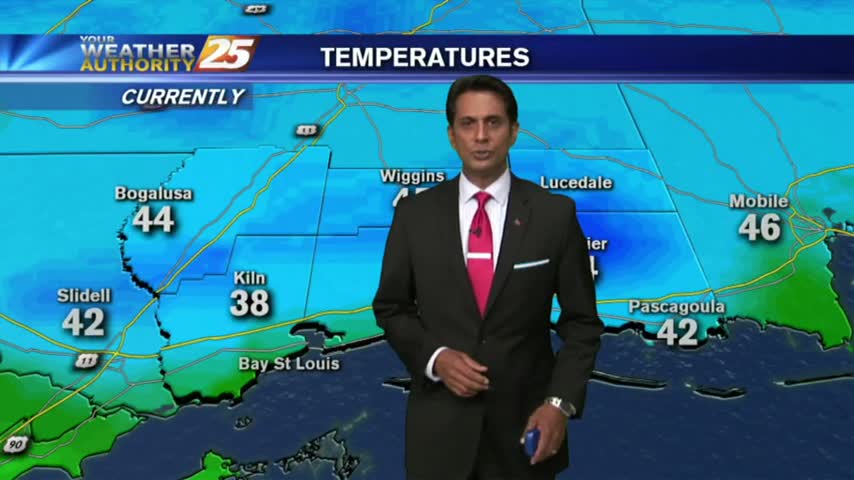
Clear skies last night with a north wind has brought COLD number to the area this morning...in the upper 30s to low 40s...
This morning started off with warm/humid conditions along with DENSE FOG, this afternoon and the weekend will bring Summer-like conditions...
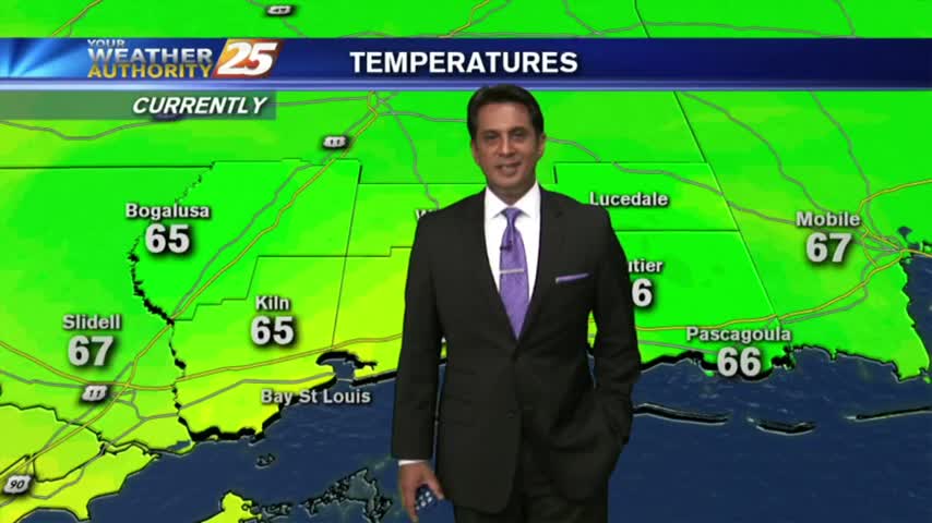
A very mild start to kick-off the weekend as drier air continues to affect the region...
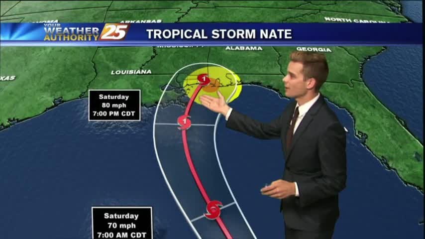
A Hurricane Warning and Storm Surge Warning for South Mississippi...
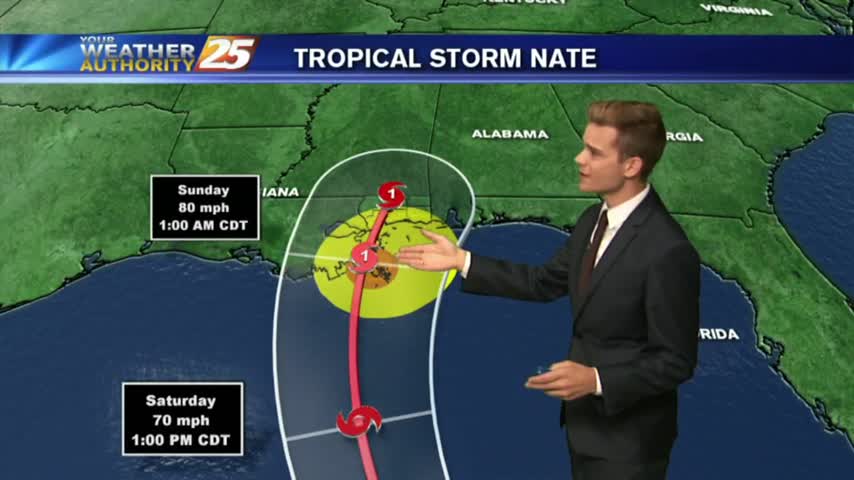
The Gulf Coast is under a Hurricane Watch and Storm Surge Watch...
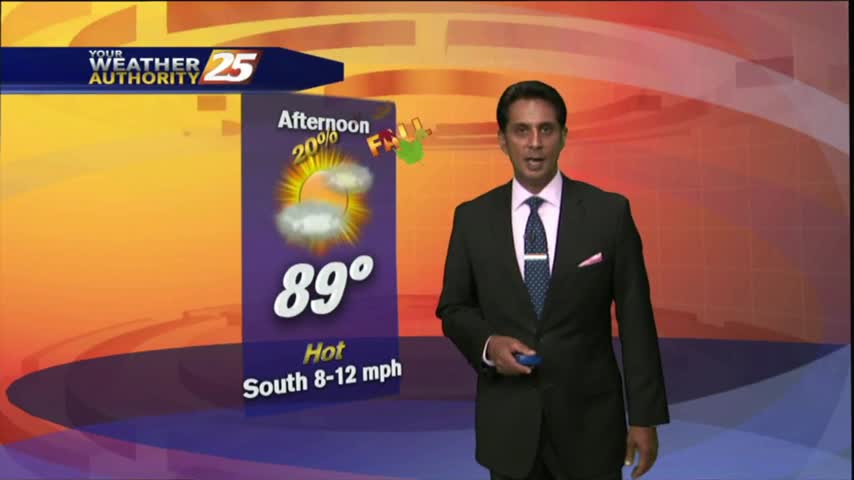
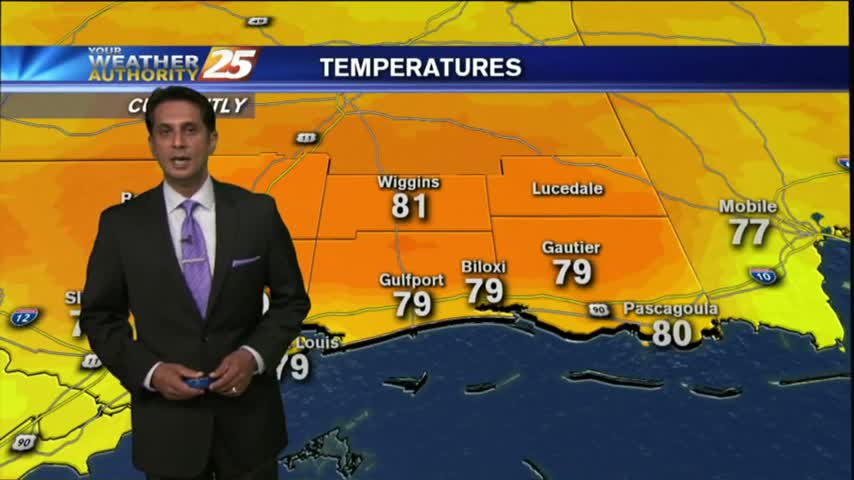
After a mild and humid start to the day, temperatures continue to warm...and expected in the upper 80s to low 90s this afternoon as we ring in Autumn...
Showers and thunderstorms have started to develop late this morning across Jackson and Harrison County.

A much more typical summer day in store for South Mississippi as the cooler drier air is no longer around.
Rain-free conditions continue as temps warm into the mid/upper 80s this afternoon, under partly cloudy skies...
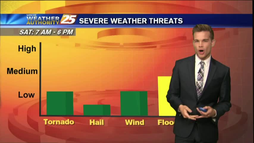
After a dry start to the day, showers and thunderstorms are across the area, and unfortunately it looks like the hot and stormy afternoons will continue into the weekend as not much change will happen to the upper air pattern.
Unfortunately it looks like another hot and stormy afternoon for the area with the best chance for showers and thunderstorms this afternoon.
Heavy showers and thunderstorms across the area today dumped up to seven inches in some areas.