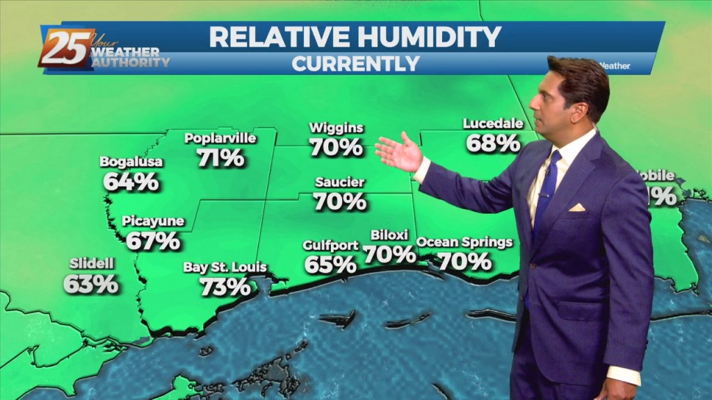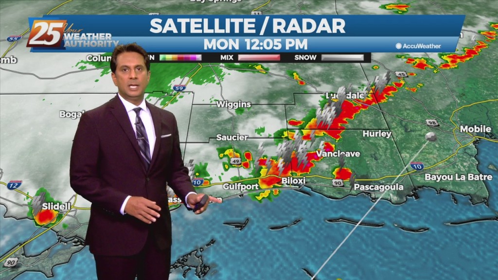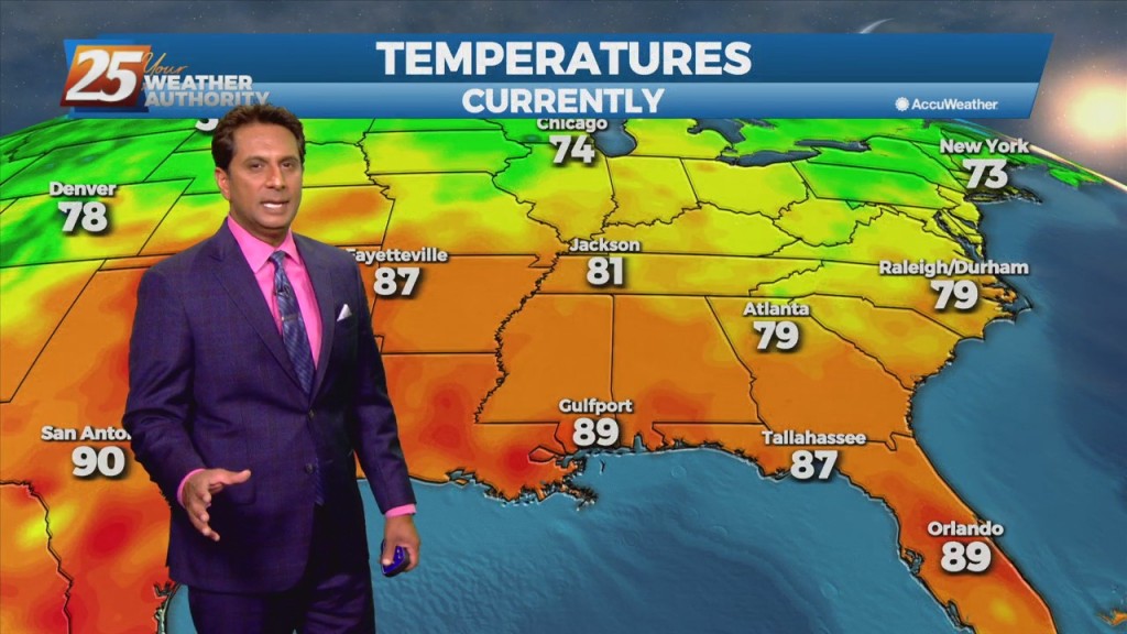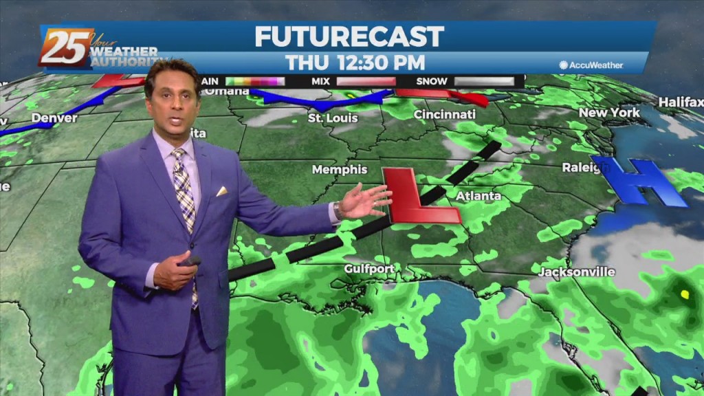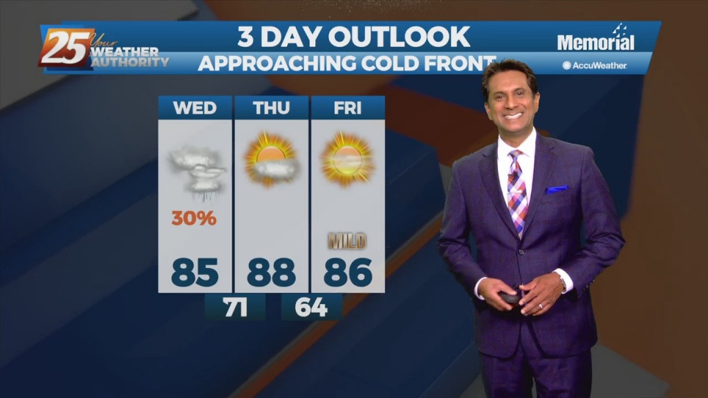
9/8 - Rob Knight's "Approaching Cold Front" Afternoon Forecast
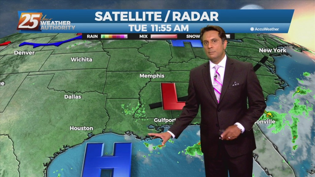
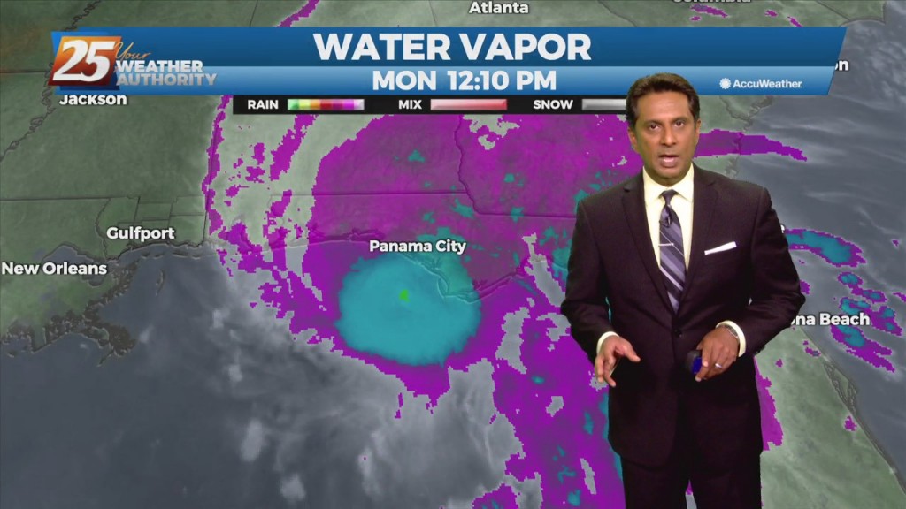
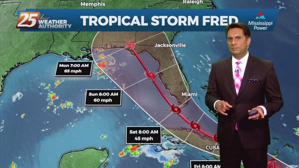
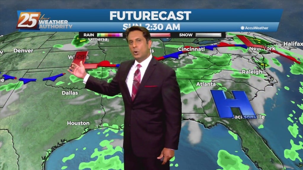
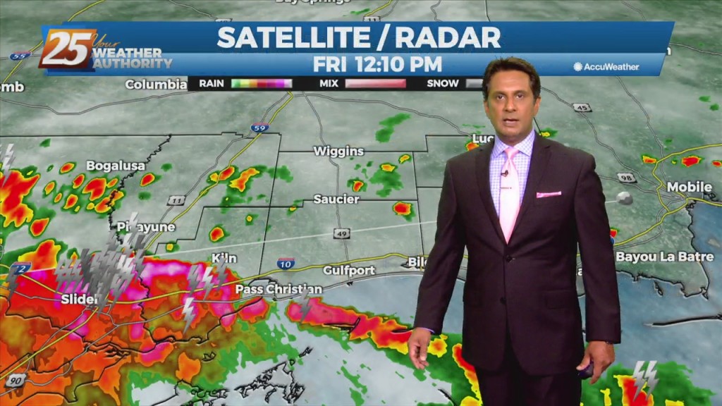
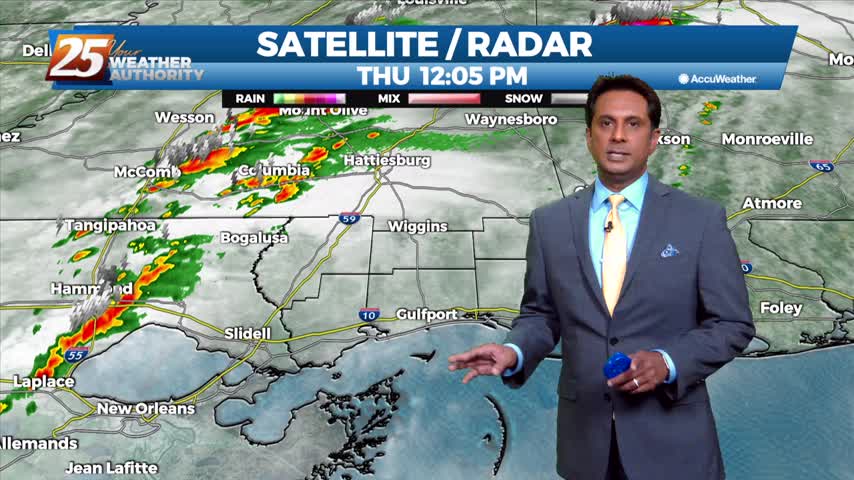
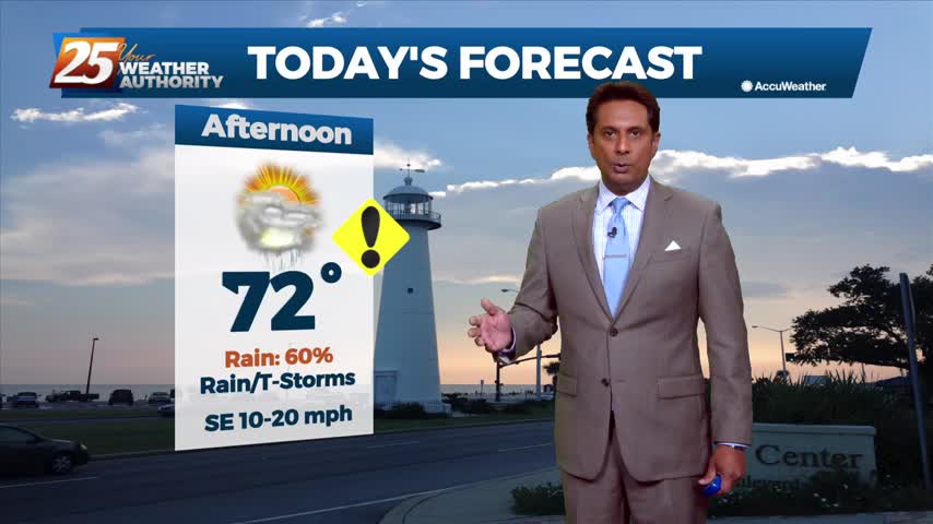
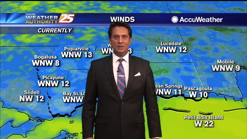
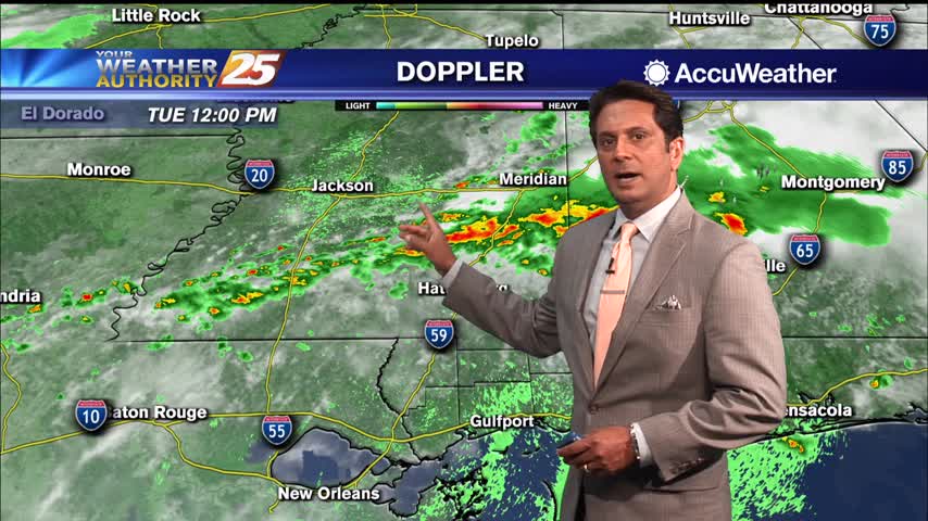
As a tropical wave south moves towards the Florida Big Bend area, expect isolated t-storms through tonight with any heavy rain rather localized and not worthy of a large scale Flash Flood Watch. Activity will wind down this evening as…