5/18 - Rob Knight's "Gray/Wet" Monday Morning Forecast
An area of low-pressure overhead moving east has brought patchy fog and light rain this morning...
An area of low-pressure overhead moving east has brought patchy fog and light rain this morning...
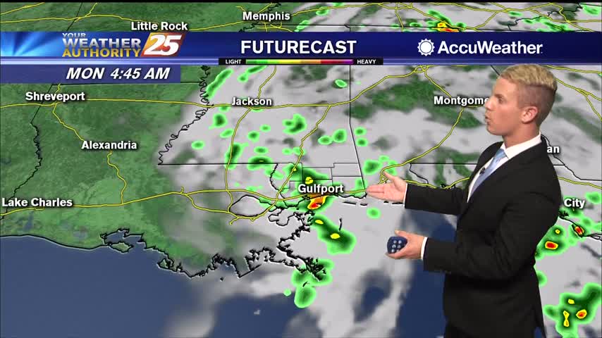
Cloudy and humid conditions will persist through the next 24 hours with periods of showers and isolated thunderstorms. A light to moderate southerly wind flow will continue, with gusty winds over the water and along the coast. Overnight lows will…
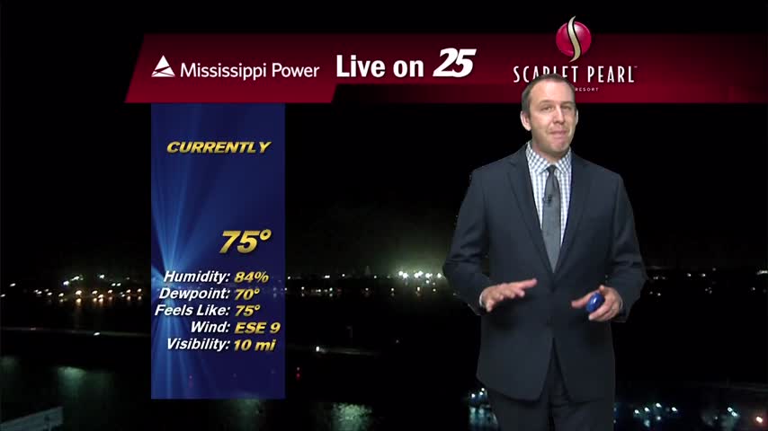
Didn't see much rain in South MS today, but we'll see a little more in the days ahead.
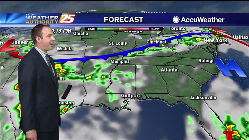
Rain has been hard to come by, but gloomy weather remains in place across the coast.
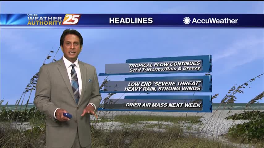
As the tropical air mass continues to move in from the south, showers/t-storms are developing...

Spotty rain overnight has lead to areas of patchy dense fog...
Heavy rainfall has fallen just to the west, but so far very little has moved into South MS. More is on the way though.
Much more cloudy today than recent days and with our first "active" weather in over a week!
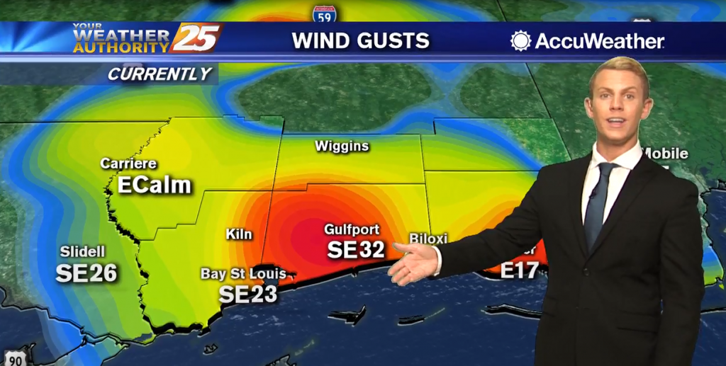
Showers and a few thunderstorms will continue on and off through Thursday afternoon. Some rain may linger into the early part of Thursday evening. Temperatures will stay in the upper 70s to lower 80s, but very humid conditions will make…

Starting out early this morning, short-range models continue to support a very moist atmosphere across the area. This will keep low clouds and some patchy fog in generally the same areas that experienced them yesterday. Any lingering fog will quickly…
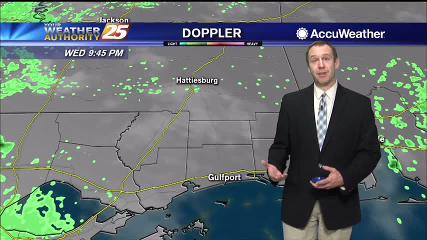
Warm and humid like the last few days have been, but now much more cloudy...something that won't change for the rest of the week.
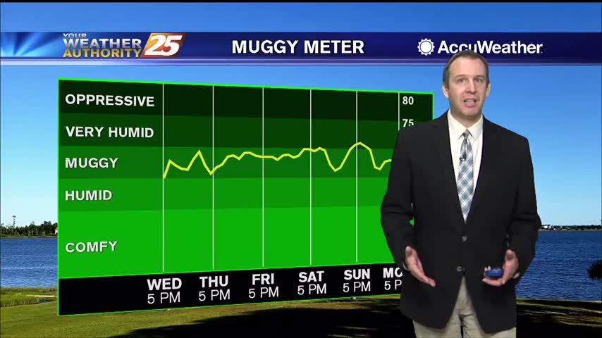
A stiff southerly breeze has increased dewpoints into "muggy" territory, and it doesn't get much better until next week.
Wednesday will be very similar to the last couple of days with mostly sunny skies and mild temperatures. Highs should top out in the lower 80s on the coast, mid 80s for inland areas away from the water. Overnight lows…

Starting off early this morning, we remain largely under control of the southwestern periphery of a large surface high anchored across the Great Lakes, stretching down to the Mid-Atlantic states. This is helping to create onshore flow and the return…
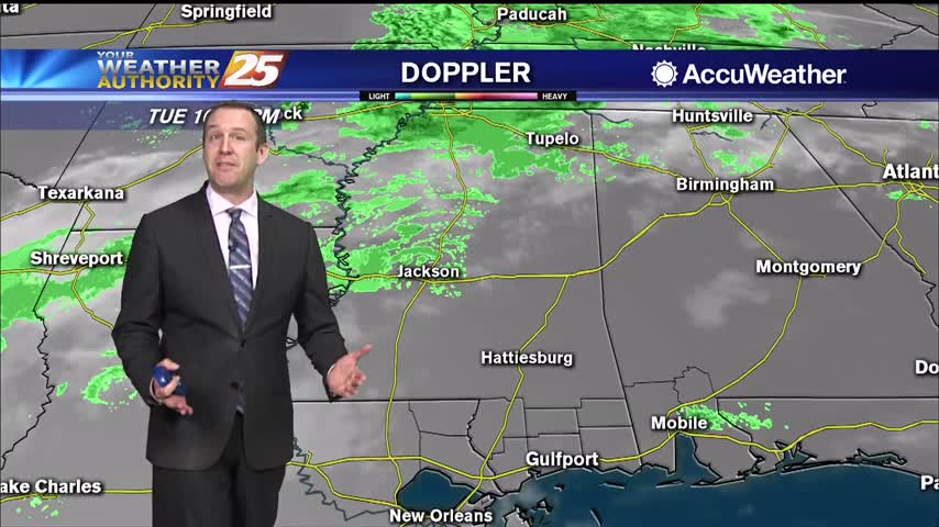
Not too bad today or tonight, but the temperatures and humidity levels will steadily rise into next week.
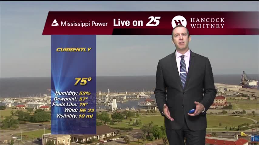
Today was the last day with comfortable humidity we'll see for a while, and it'll only get hotter as well.
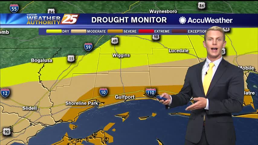
Tuesday and Wednesday will be very similar to the last couple of days with sunny skies, low humidity, and mild temperatures. Highs should top out in the lower 80s. Overnight lows will be warmer, only dropping down to the mid…
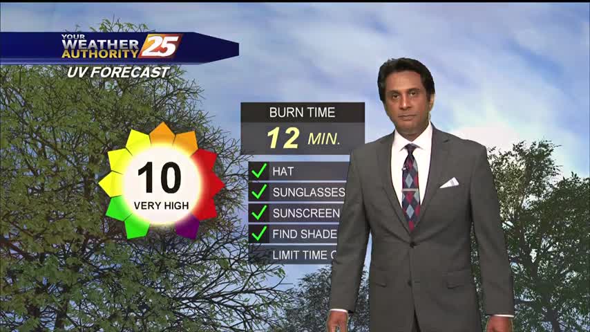
Not much changes to discuss as we roll into the day today. We have begun to see a slow transition from post-frontal dry air filtered in by northerly winds to now a slow and steady moistening trend. As we get…
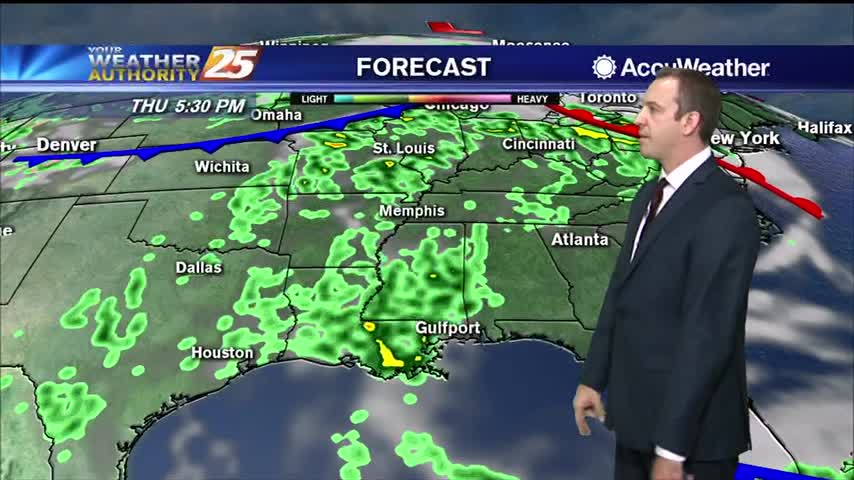
Going to be a good bit warmer than it was last night, but the humidity won't increase dramatically until later in the week.
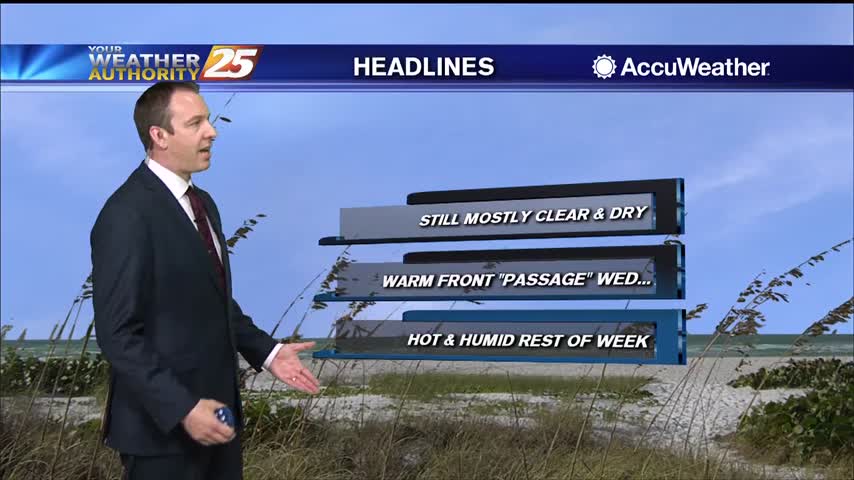
It's warmed steadily through the weekend, but the humidity hasn't risen much. That changes quickly later on this week.
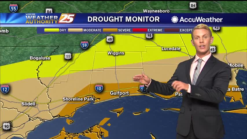
Overall weather pattern remains quiet in the short-term. We will see a weak cold front swinging in from the north later this morning, which will not have much impact to the weather across the area other than keeping winds continued…

A chilly start to the day with a dry/cold front to our north moving SE...
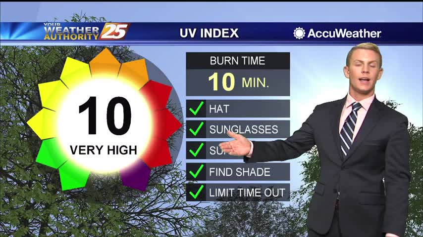
Dry conditions will continue for the next few days as high pressure dominates the Southeast. Cloud coverage will gradually increase through the middle of the week. Temperatures Monday and Tuesday will start off cool in the morning before warming into…
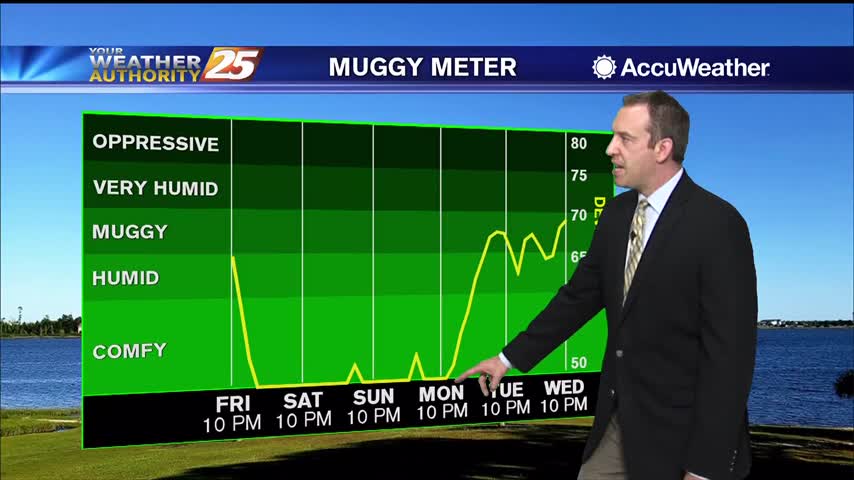
We saw showers and thunderstorms through the evening, but the rain has stopped and even the skies will begin to clear into the weekend.