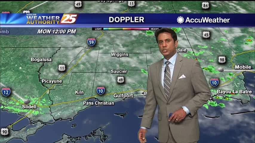
6/29 - Rob Knight's Monday Morning "Summertime Heat" Forecast
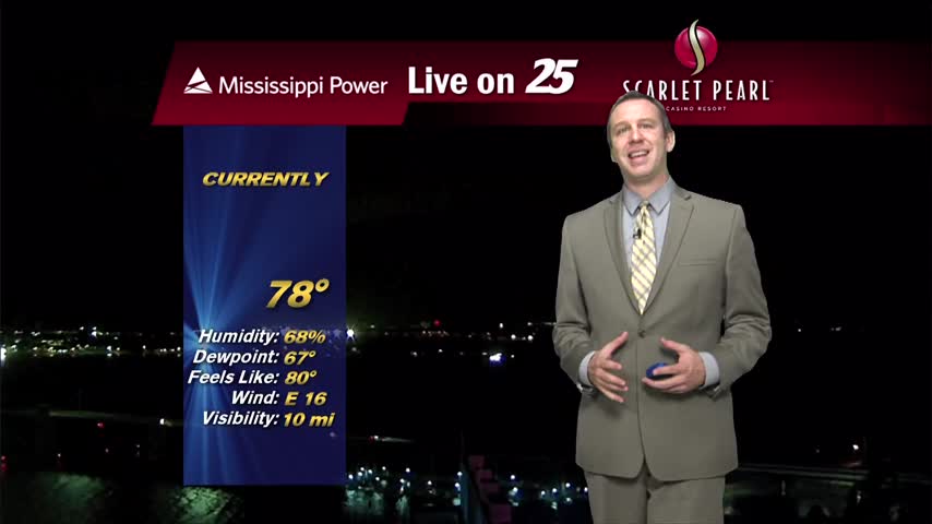
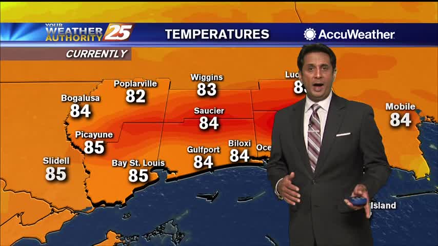
A very warm start with multiple location reporting the low 80s for overnight low temperatures...
Primary Menu
About
Connect With Us
A very warm start with multiple location reporting the low 80s for overnight low temperatures...
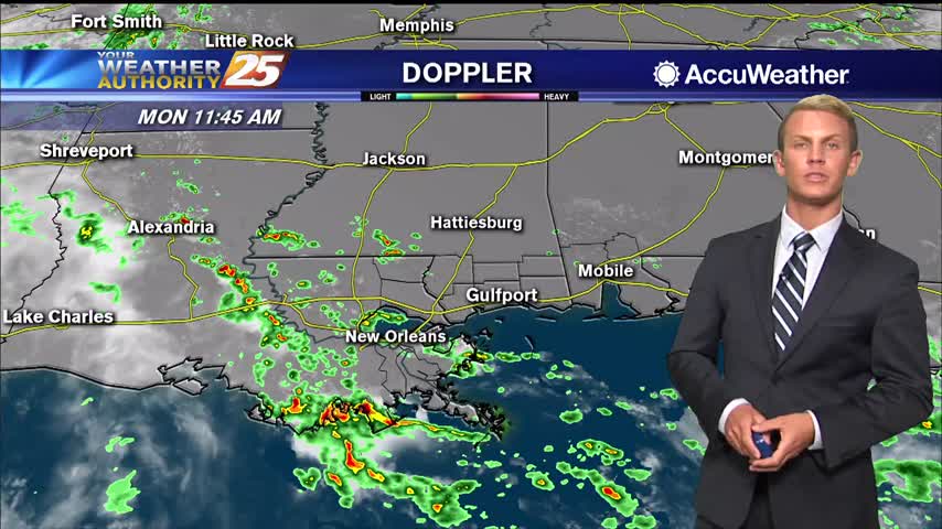
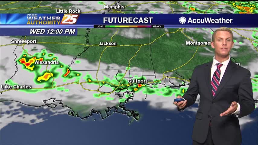
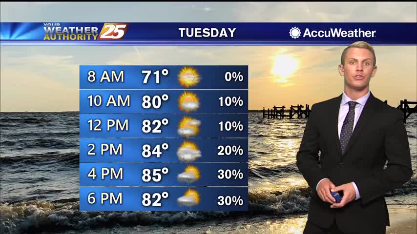
High pressure continues into the day Monday leaving us with a more classic summertime pattern with storms beginning on the land breeze during the morning and then a second round of more robust storms initiating along the sea breeze and…
Fewer showers this afternoon and evening, a trend that'll continue into the weekend along with higher humidity....
Less rain today, but still very hot and humid and the rain doesn't stay away long.
A very HOT afternoon ahead especially when we factor in the Heat Index...
A warm and humid start to the day with areas of light patchy fog...
Been quite a miserably humid, hot, and rainy week so far, but positive changes are moving in.
Less rain today, with even fewer showers heading into the next few days! Still going to be exceptionally humid and hot though.
The region will remain at the base of a large area of low pressure dominating the eastern half of the nation today. At the same time, plume of tropical moisture will move into Eastern Texas and Southwest Louisiana in the…
A humid start with areas of light rain moving across the area...
Active, strong weather moved in early this afternoon, and while it did weaken a bit through the evening the rain didn't leave completely.
Today started off with a line of strong thunderstorms bringing severe weather to South MS, but that trend isn't going to continue beyond today.
Strong to severe storms will continue to be possible through the afternoon and evening. Isolated tornadoes, damaging wind gusts, and heavy rain will be threats in any storms that form. Increased cloud coverage will make it difficult for things to…
Deep tropical moisture continues to stream over the area this morning and this does not look to stop through at least Thursday. There is very good evidence that the environment is very supportive of training thunderstorms starting now through roughly…
Last week was dry, this one will be wet as afternoon/morning showers pop up every day.
Today saw increased rain activity, something we'll see even more of tomorrow as hot and humid weather lingers in South MS.
An area of high pressure near the surface will move off the Southeast U.S. coast through this evening as an upper level disturbance moves into the upper Midwest and middle Mississippi River valley. A weak associated cold front will slide…
Last week was hot and dry, but this week will be hot and wet. Starting off summer on the damp and humid side.
Last week was hot and dry, while this one will be hot and damp as showers are expected nearly everyday.
Multiple rounds of showers and thunderstorms will push through the area in the coming days. Rain chances are at around 70 percent today, and going up to 80 percent for Tuesday and Wednesday. Otherwise, it will be mostly cloudy, warm…
Rainfall is already moving into the area from the SW, with a wet pattern ahead...
High temperatures will continue to be in the upper 80s to lower 90s each day for the next week. The central Gulf coast area will be under the influence of a weak upper level trough through the middle of the…
Things have been manageable over the last few days, but the humidity will jump sharply over the weekend while it stays just as hot.
Still hot and humid but rain hasn't been much of an issue, that changes though as we head into next week.