06/04 – Brantly’s “Tropical Update” Thursday Forecast
12 p.m. Thursday Tropical Update:
Cristobal is now a tropical depression and is moving slowly over Mexico. Most models show the system regaining tropical storm strength when it moves back over the Gulf on Friday.
The National Hurricane Center’s forecast cone remains mostly unchanged with landfall predicted somewhere along the coast of Louisiana late Sunday. However, portions of South Mississippi and eastern Texas are still included in the cone of uncertainty and should be on guard.
Regardless of where landfall occurs, effects will be felt far from the center of circulation. Flooding rainfall and storm surge can be expected from Louisiana through the Florida Panhandle. Several inches of rain are likely along the coast.
Gulf seas will also be extremely dangerous for mariners with wave heights at 11-14 feet over the weekend. Life-threatening rip currents and high surf will be present at beaches in Alabama and Northwest Florida, making swimming dangerous for all levels of swimmers.
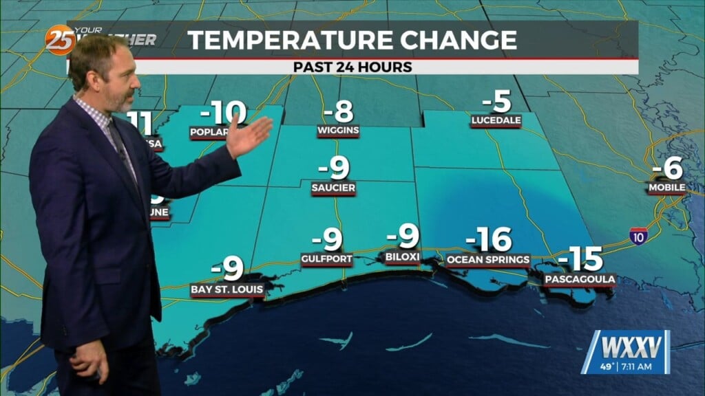
In the meantime, it will warm and humid for the next several days and we will be dodging showers and thunderstorms through the weekend. Highs will be in the mid to upper 80s and rain chances will range from 40 to 60 percent.


Leave a Reply