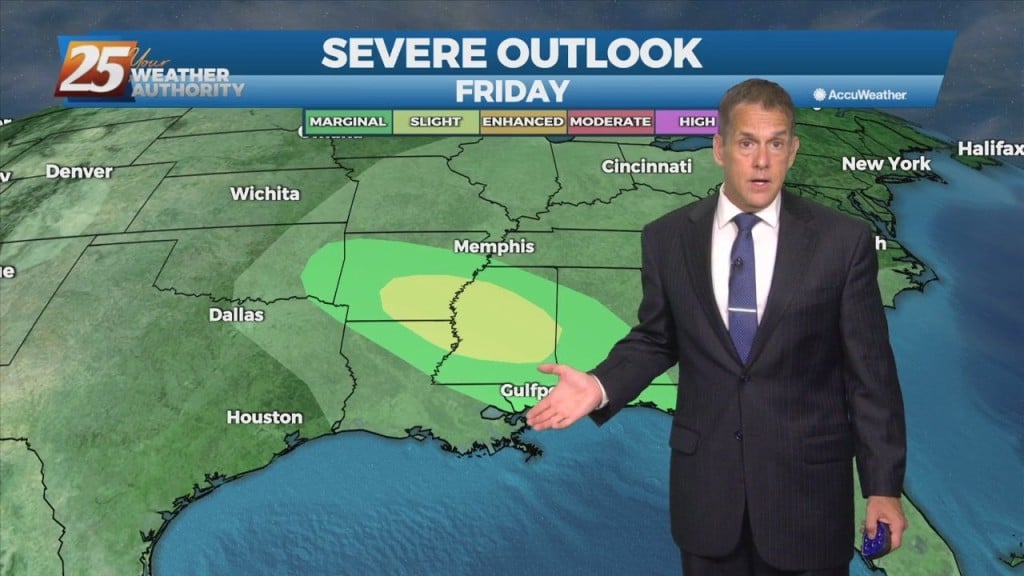
6/8 - Night Rob's "Chance For Storms, Hot Tomorrow" Wednesday Night Forecast
The Moss Point - Trent Lott International Airport (north of Pascagoula) led the way this afternoon with a peak real-feel temperature of 104…
The Moss Point - Trent Lott International Airport (north of Pascagoula) led the way this afternoon with a peak real-feel temperature of 104…
As expected, more areas reached a heat index of 100 or more this Wednesday afternoon. High pressure over the central gulf into Texas continues to…
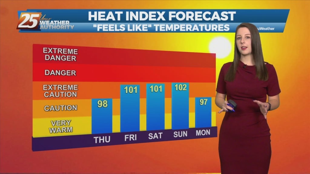
An upper level ridge that is centered over Texas and spreads across the Gulf Coast will continue to dominate the forecast over the next couple days. This…
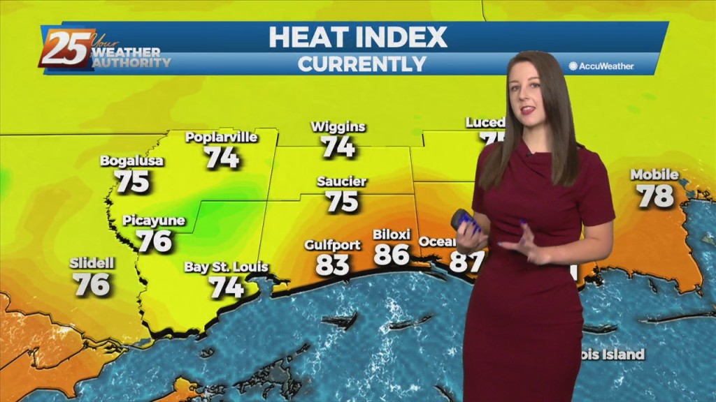
An upper level ridge that is centered over Texas and spreads across the Gulf Coast will continue to dominate the forecast over the next couple days. This suppresses…
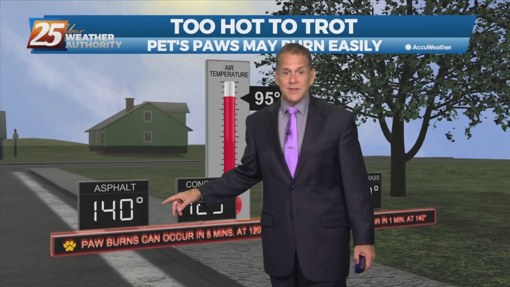
Bay St Louis and Moss Point led the way earlier this afternoon with a heat index (real-feel temperature) of just over 100 degrees...and they're going…
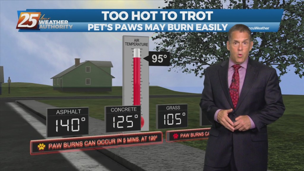
Real-feel temperatures are already pressing 100 degrees this Tuesday afternoon as shower activity remains limited. In short, hello summer. Upper level high-pressure centered over West Texas has…
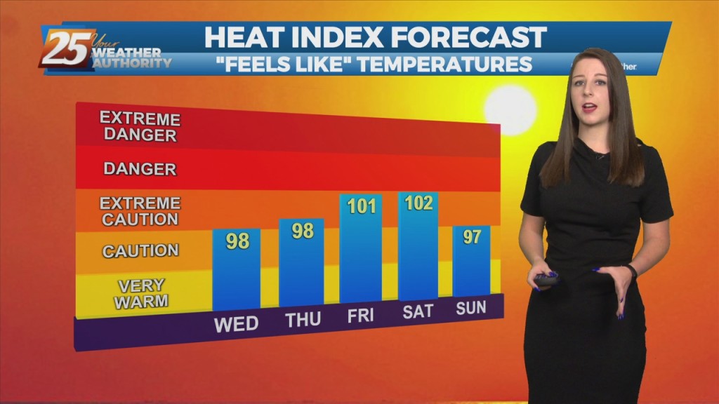
"Summertime Safety" Is The Name Of The Game... Upper level high-pressure centered over West Texas has expanded across the northern Gulf Coast. This pattern will generally remain…
Humidity is on the rise a bit this Monday night, and it’s here to stay through the work week. Humidity is already on the rise…
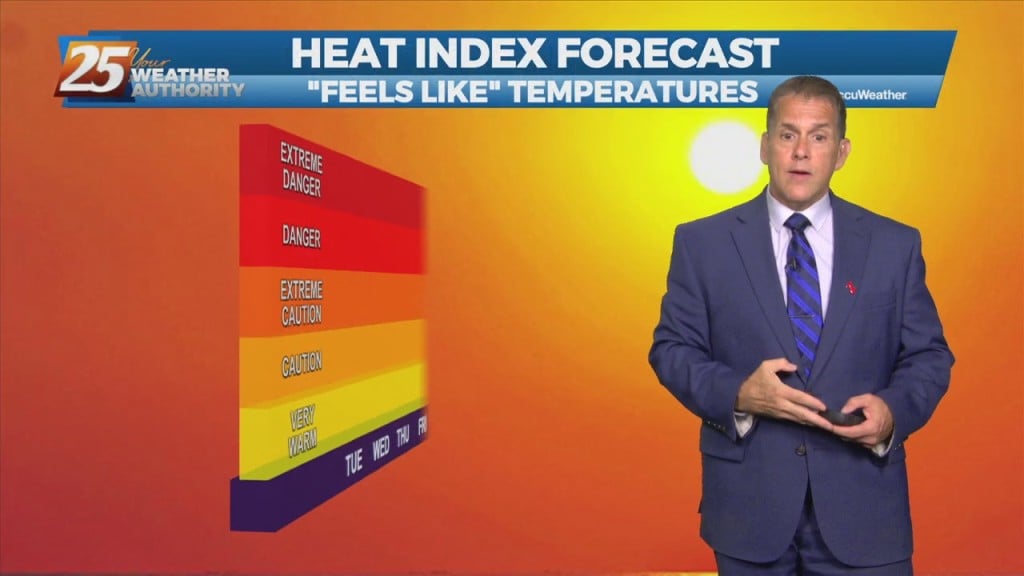
A true summer-like pattern is in progress this Monday, and it’s here to stay through the work week. Humidity is already on the rise compared…
This afternoon will fall into that bracket of typical summer thermal showers and thunderstorms. The best probabilities for getting activity will be the Miss gulf coast starting…
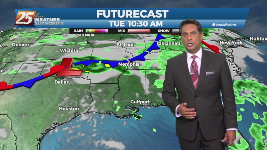
Today will fall into that bracket of typical summer thermal showers and thunderstorms. There won’t be as many around as yesterday. And whereas yesterday was a bit easier…
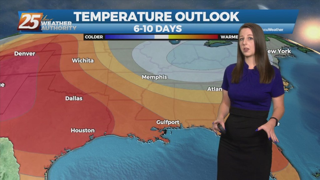
Tonight through Tuesday Night, a mid to upper level ridge axis will gradually extend eastward from Texas across the Gulf South through Tuesday night. The direct result from this…
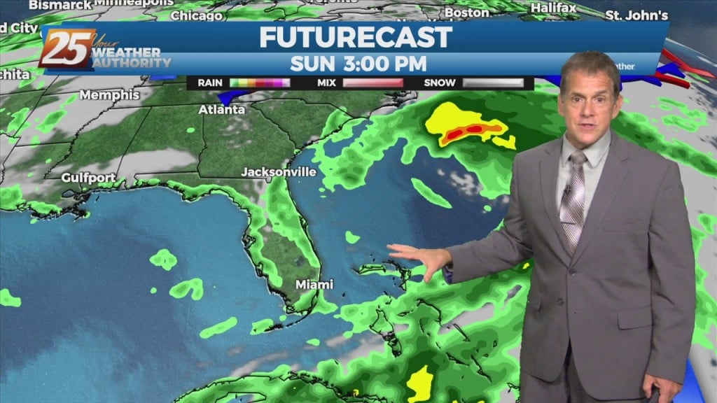
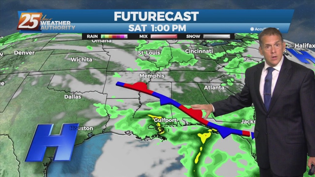
It’ll be relatively smooth sailing through Saturday once the Friday showers fizzle out. The weak cold front that brought those downpours will stall out and weaken…
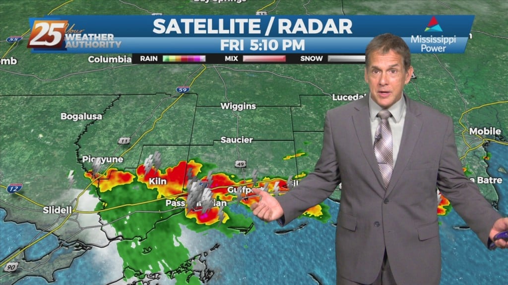
We’ll continue with the spotty t-storms this Friday afternoon and evening as a weak cold front sags into our area. It will stall out and…
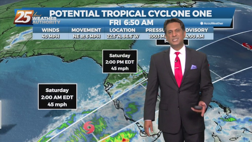
The disturbance near the northeastern tip of the Yucatan Peninsula appears slightly more organized this morning, with persistent deep convection ongoing near and to the east of…
A cold front sagging into our area is expected to stall through the weekend before slightly retrograding. Isolated/scattered showers/t-storms are expected today especially with daytime heating.…
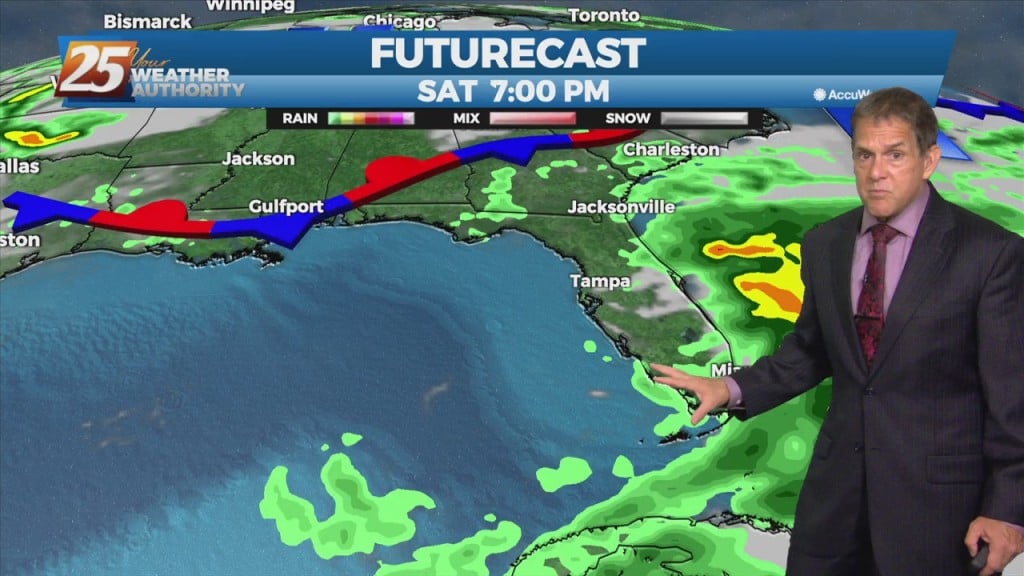
Earlier storms are again fizzling out after sunset this Thursday night. A weak cold front will crawl into the area and stall through Saturday. The…
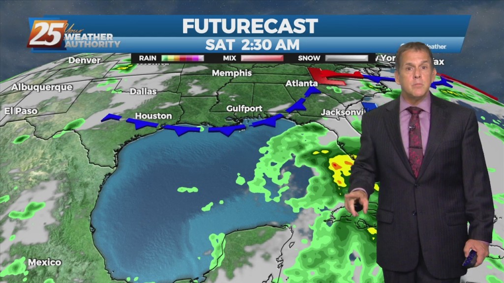
Persistence is the call with the forecast through Thursday night with some pop-up storms again. A weak cold front will crawl into the area and…

Not a lot of change as all indications for a frontal boundary to sag into the area and stall through Saturday. The interaction between the Caribbean…
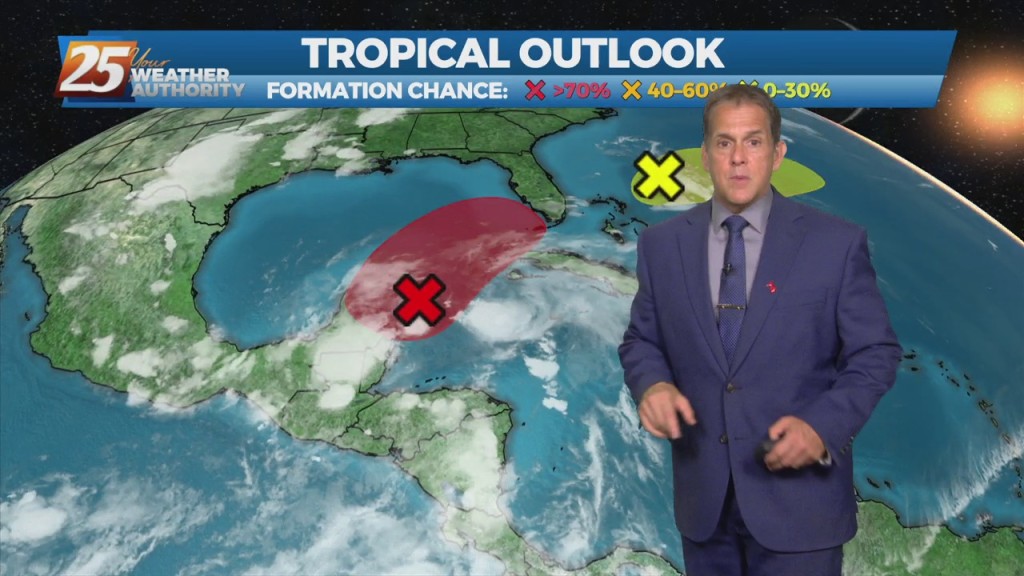
The downpours from earlier today have dissipated and we’re not expecting anything more through this Wednesday night. June has arrived and the weather is right…
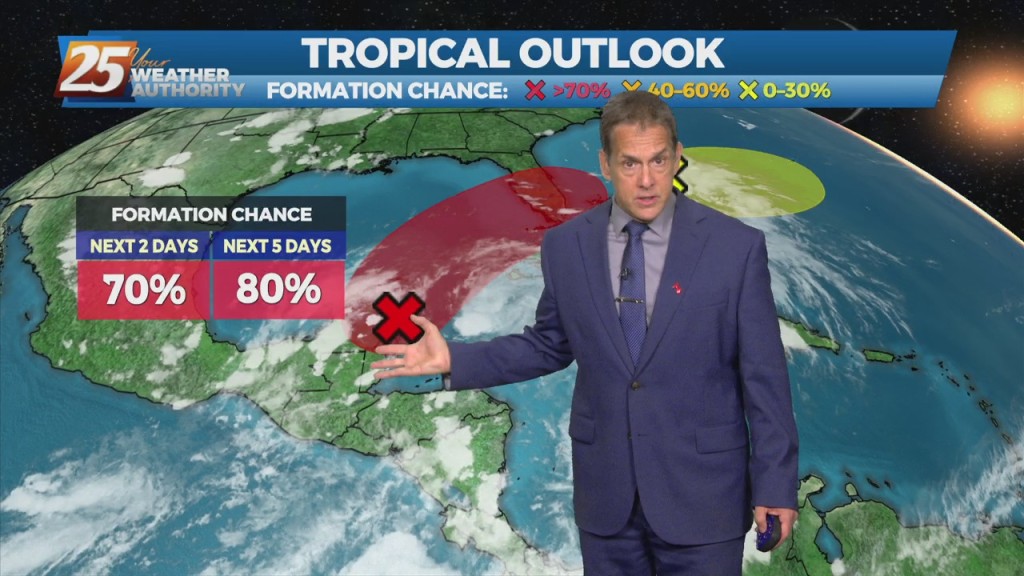
June has arrived and the weather is right on cue today with the spotty downpours, which is quite normal for this time of year…hot, muggy…
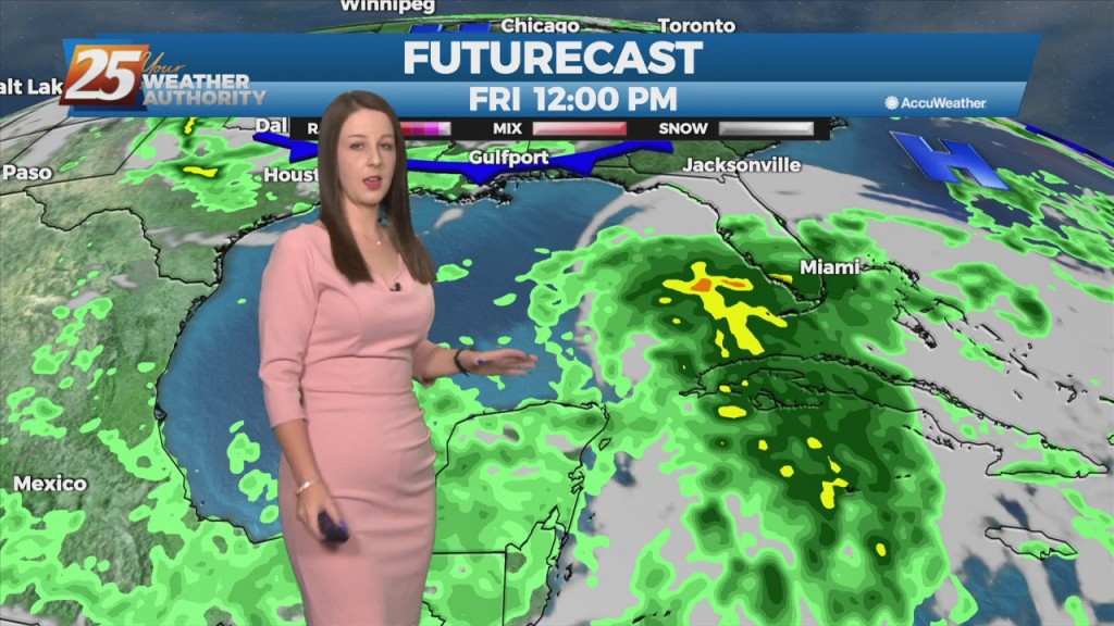
Fairly quite conditions ahead which is normal for this time of year...Hot muggy with a few showers/t-storms around. This focus of moisture moving back to…
The short term weather will be quite normal for this time of year...Hot muggy with a few showers/t-storms around. The moisture is being brought…
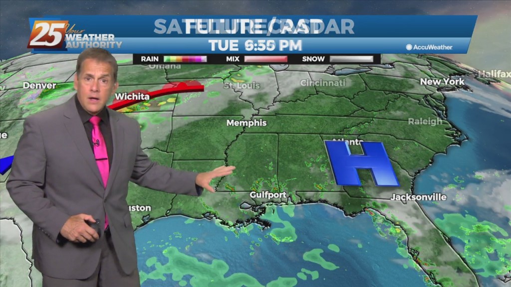
Our typical summer downpours are fizzling out with loss of daytime heating this Tuesday night. For the first day of June, the southeast flow will…