5/20 – The Chief’s “Wet Pattern Ahead” Friday Afternoon/Weekend Forecast
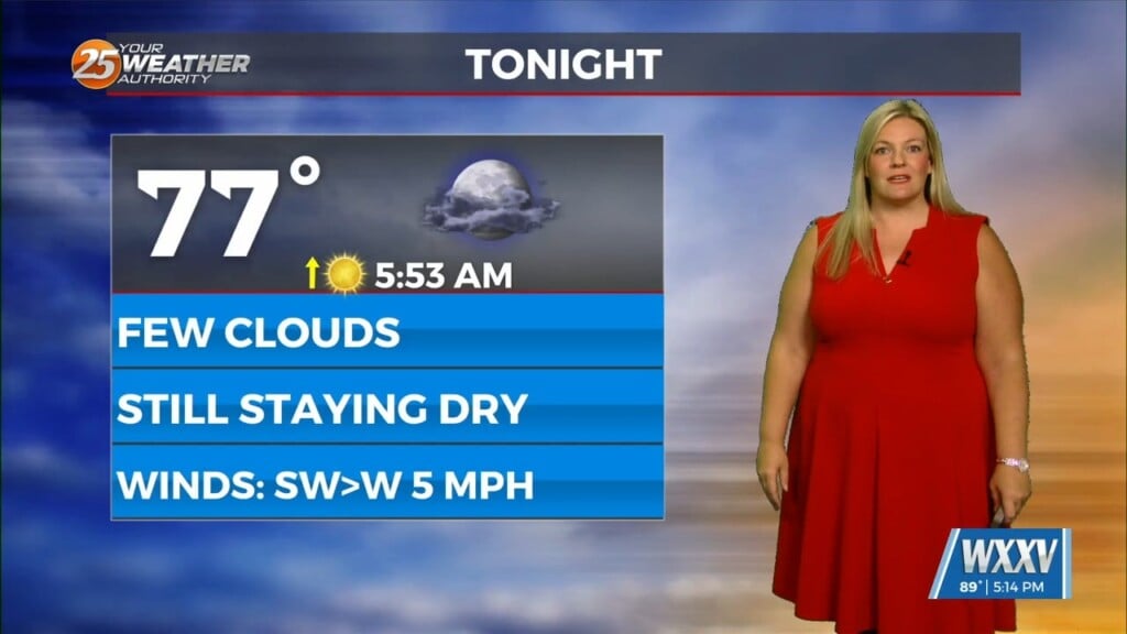
The hot and dry pattern will come to and end this weekend…
The upper pattern will start the transition into a wetter one late in the day with a weak disturbance sliding across the region. It’s not until Saturday that Gulf moisture actually begins to surge into the region. Expect to see coverage steadily increase throughout the day as moisture rises. I wouldn’t be surprised to see a few strong storms with gusty winds and/or small hail before the column becomes to saturated. Still looks like an active week next week and locally heavy rain could become an issue.
There are some disagreements in the medium range models with respect to timing, placement, and even intensity but they all do agree that we should see multiple round of storms, whether it hits the same areas and/or persists for a while is the uncertainty. After a rather active day on Sunday/Sunday night and Monday could be the more active time frame with the best chance of locally heavy rain occurring then.