5/20 – Night Rob’s “Sunday The Wetter Day” Friday Evening Forecast
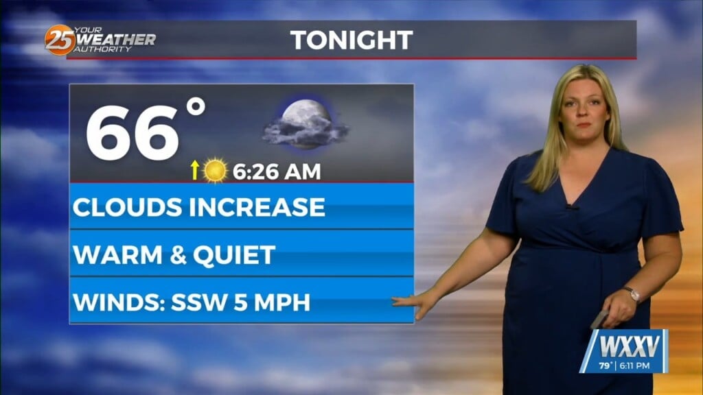
With a bump in humidity, real-feel temps crept up a bit today (mid-upper 90s), but the hottest weather this week is still behind us. As high pressure continues to move east and lose its grip, some showers have popped up to our east today. With the humidity and southerly flow, expect yet another summer-like night with lows in the upper 70s for most.
It’s not until Saturday that Gulf moisture actually begins to surge into the region. Expect to see coverage steadily increase throughout the day as moisture rises, but only spotty showers are expected in the morning. We could see a few strong storms with gusty winds and/or small hail, but the coverage is not looking as impressive in the recent model runs. Still looks like an active week next week and locally heavy rain could become an issue.
There are some disagreements in the medium range models with respect to timing, placement, and even intensity but they all do agree that we should see multiple rounds of storms, whether it hits the same areas and/or persists for a while is the uncertainty. In a nutshell, Saturday has a higher chance of strong spotty storms, but Sunday is looking like the much wetter day from start to finish with a smaller chance of stronger storms. Showers are likely to start Sunday morning with more-widespread coverage as well. This will also keep daytime temps down on Sunday, likely only in the lower 80s.
For early next week, storm/rain timing will depend on disturbance riding along a nearly-stalled frontal boundary over the area. We’ll have alternating periods of partly cloudy conditions and thunderstorms all the way through Thursday as available moisture remains high. But, no one day looks like a total washout. It looks like the front will finally clear the area by next Friday with slightly cooler and drier conditions.


