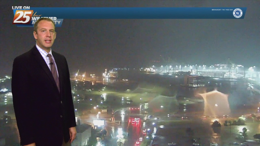
07/06 Ryan's "Even More Rain" Tuesday Night Forecast
We really just can't catch a break with this rain as even more falls tonight. There hasn't been much activity over the last few hours, but what we have seen has been heavy,…
We really just can't catch a break with this rain as even more falls tonight. There hasn't been much activity over the last few hours, but what we have seen has been heavy,…
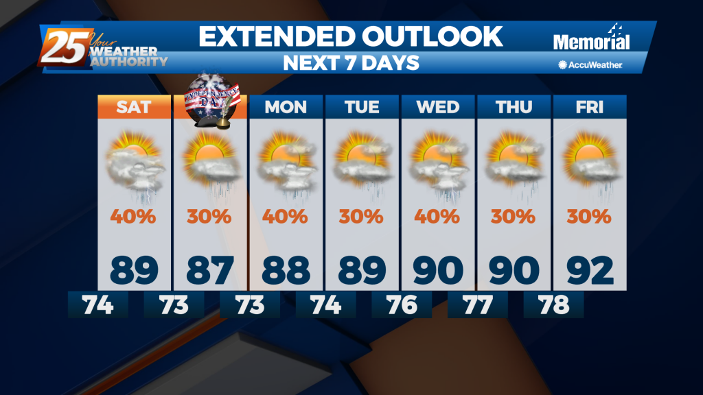
This week was pretty wet, and that isn't going to change as we head into Independence Day weekend. A front moved in today which acted as a jumping off point for enhanced afternoon showers, and it'll still be close enough…
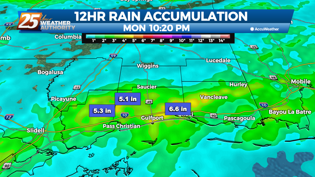
Tropical Storm Claudette started the weekend off, and even after it has moved on we're left with more rain. Flooding issues abound across South MS as the scattered showers and thunderstorms have lingered. One area of Harrison County near d'Iberville…
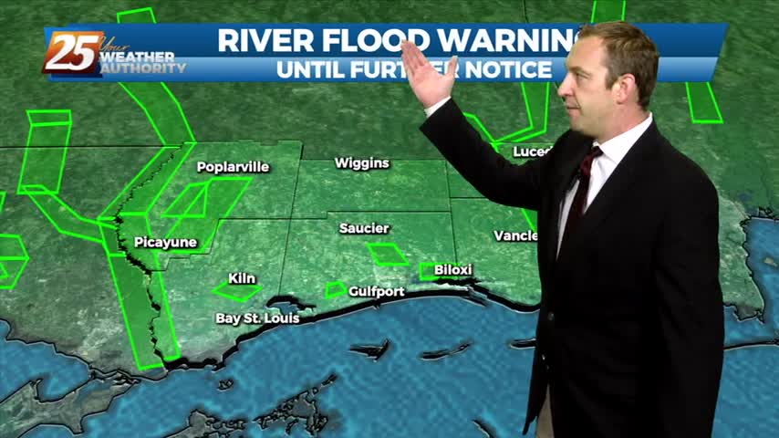
Sad to say we have a wet weekend ahead after our ridiculously wet week, but things will begin drying up quickly as we head into the next....
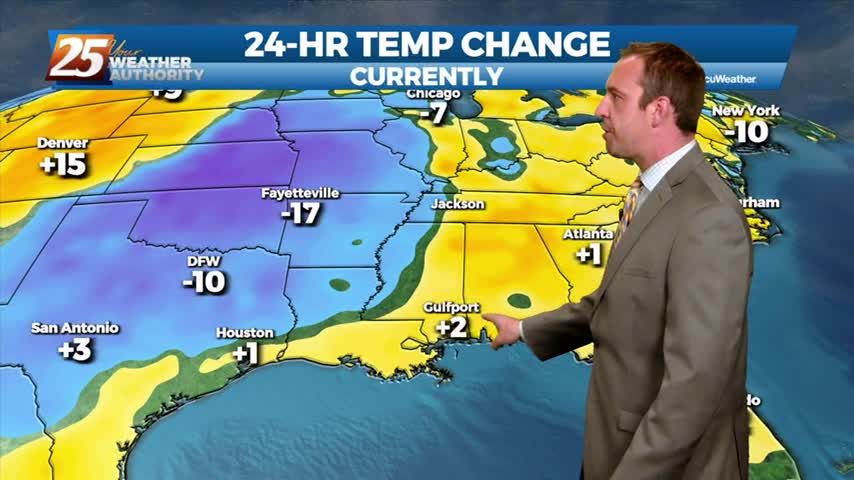
It has been several days since our last round of active weather, but that changes now as showers and storms move in quickly overnight.
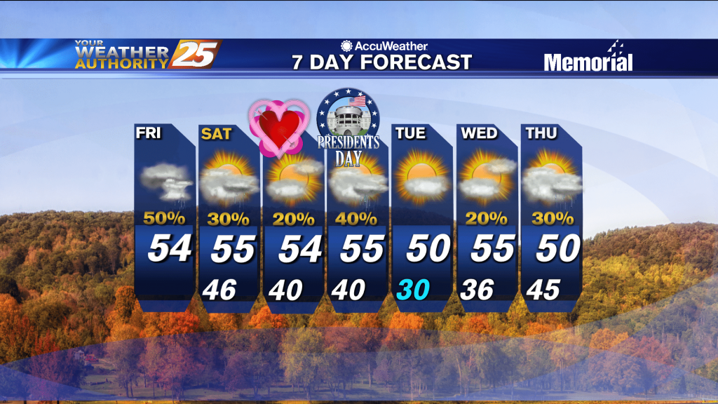
Not much change initially, but much cooler weather is expected in the days ahead before Arctic air moves in to begin next week.
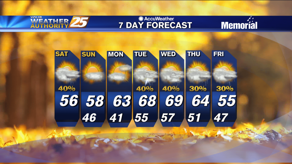
The weekend will start cloudy, but we'll see a bit more sun as we begin next week...just won't last long.
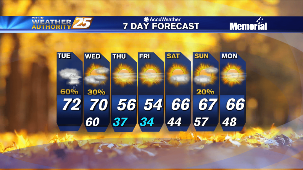
Don't expect much to change after our grey, foggy weekend, but things will get a little wetter as rain moves in.
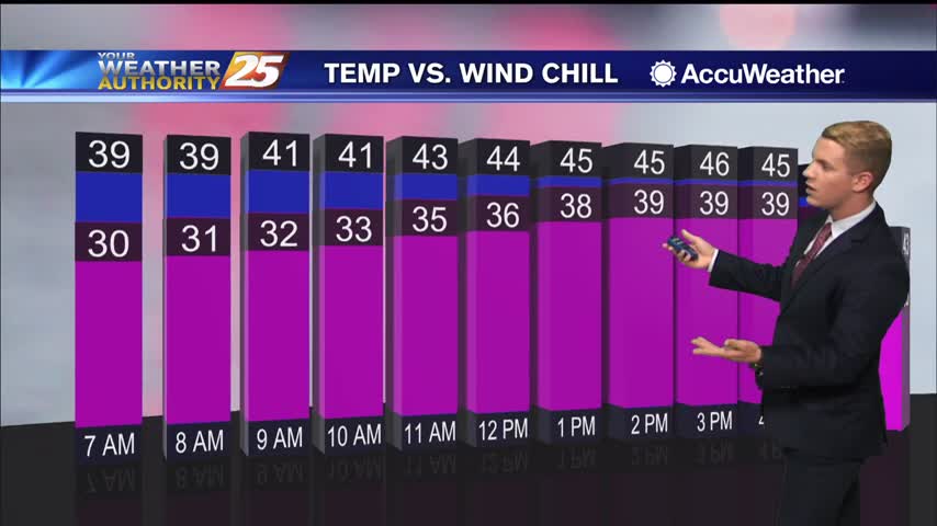
Today expect on and off rain with cold temperatures and windy conditions as a low pressure system continues to slide eastward across the Gulf Coast. The rain is expected to continue across the forecast area as it spreads from west…
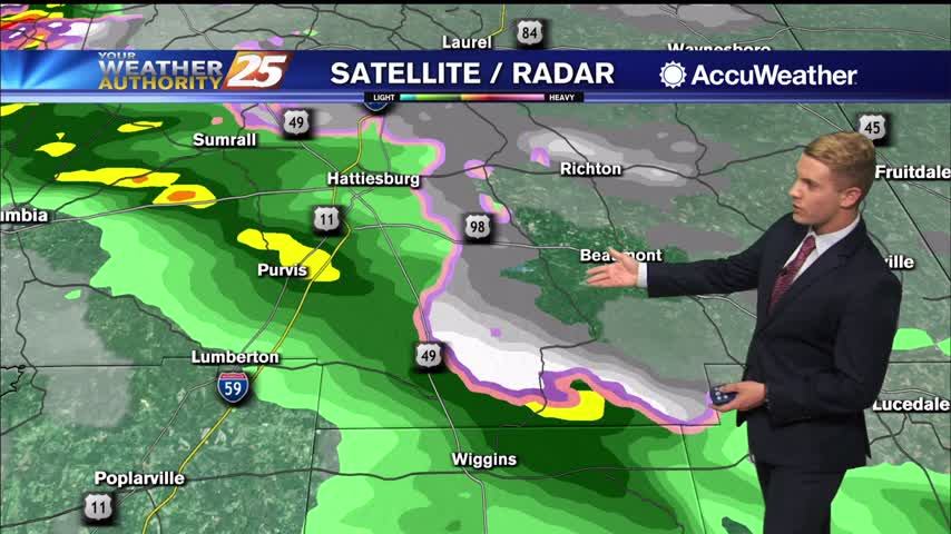
There is a very low chance for a possible wintry mix over the northern portion of the WXXV viewing area from late tonight into early Monday morning. Otherwise, expect a very cold on and off rain as a low pressure…
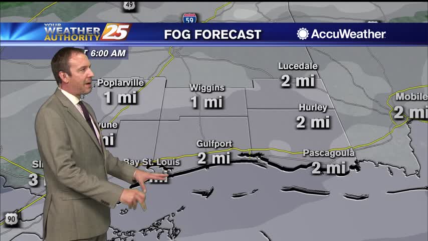
Another foggy night ahead as worm humid air lingers ahead of a stronger front to start next week.
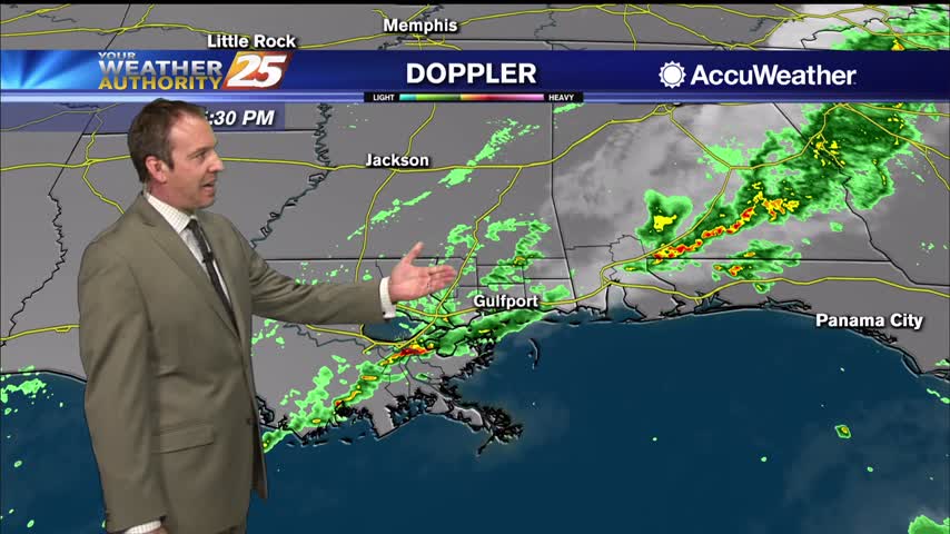
The cold front is here and it's brought rain, but we won't be seeing the cooler, drier air on the other side just yet.
Wet end to this week, but the start of the next will be much drier...just not much cooler, at first.
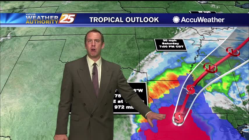
Delta had made landfall and continues to push inland, largely missing South MS.

Beta's remnants are now post-tropical and drifting across the state, bringing more cloudy, rainy weather....
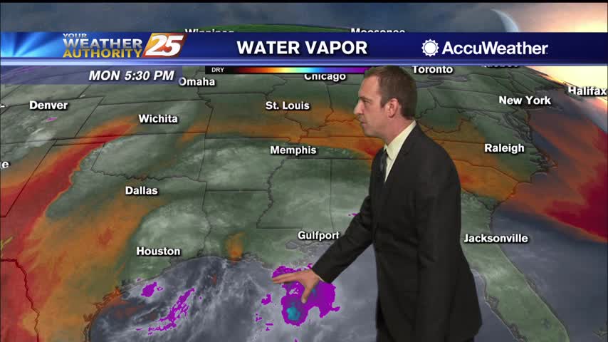
Light rain has persisted for the last few days, and ill continue for most of the rest of the week before any significant sunshine returns.
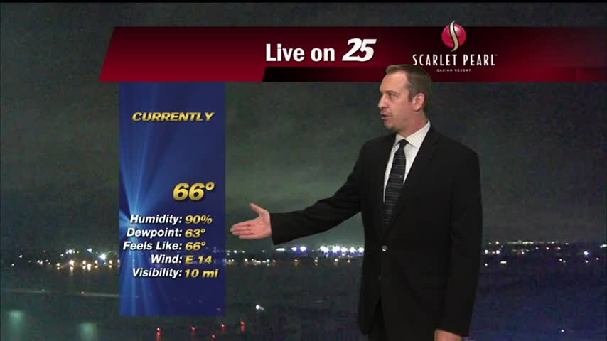
Cloudy and wet all weekend long, and sadly that isn't changing until almost next week....
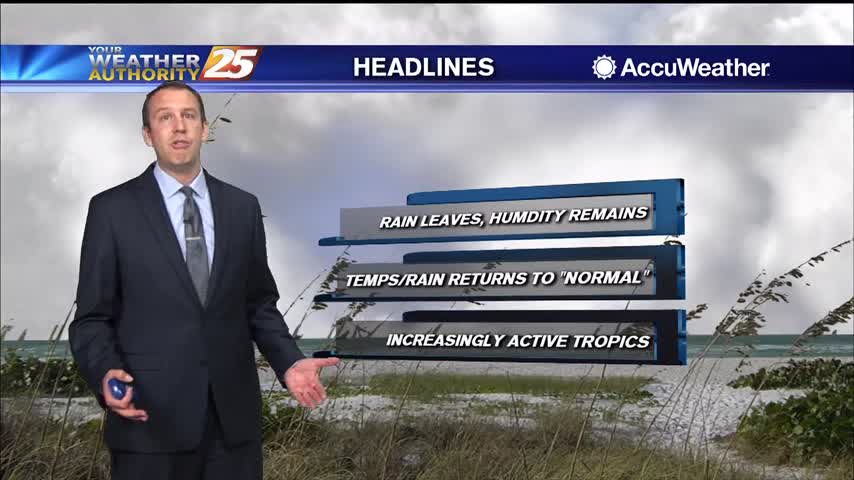
It's been pretty wet since the end of last week, but a drier trend is finally beginning which will take us through the weekend.
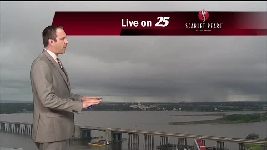
Another wet start to the week after a rainy weekend, but sunny weather returns soon!
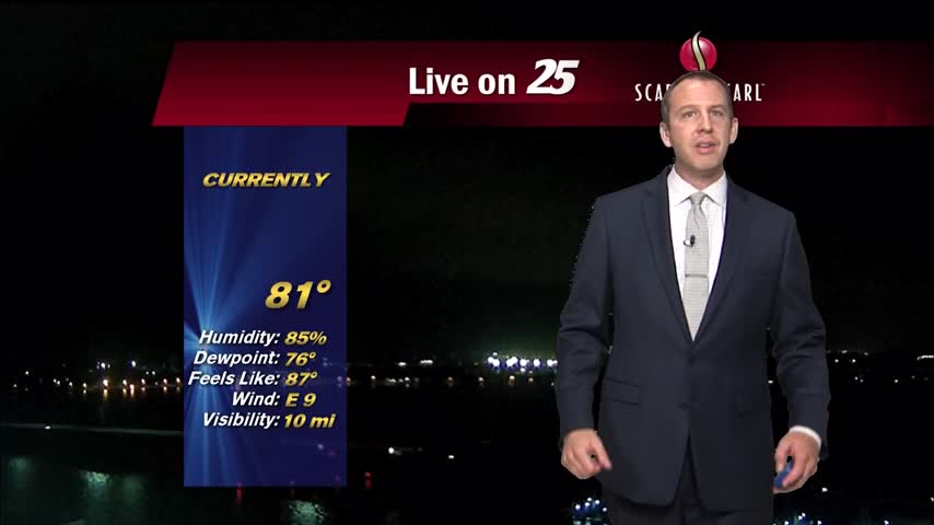
The weather is still hot and humid despite dropping 5 or more degrees, but will now be much wetter as rain continues through the weekend.
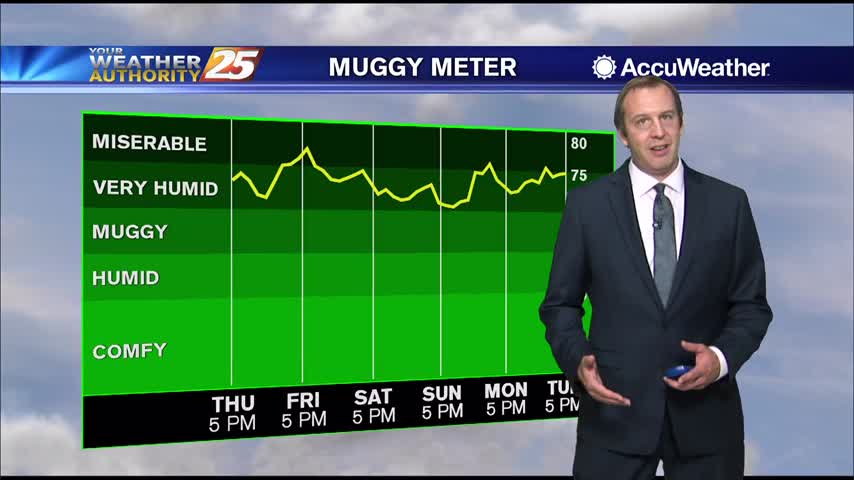
Things cooled down after an early afternoon round of showers and thunderstorms, but even more rain lies ahead.
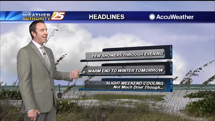
Few more clouds today and even a few showers, but expect fewer of them going forward. It will continue warming though.
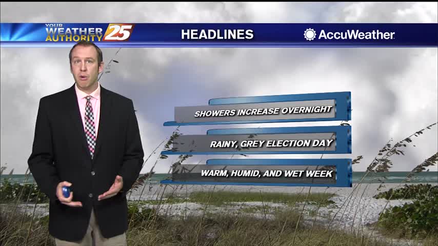
Grey skies and scattered showers will be with us most of the week, but some clearing is in sight.
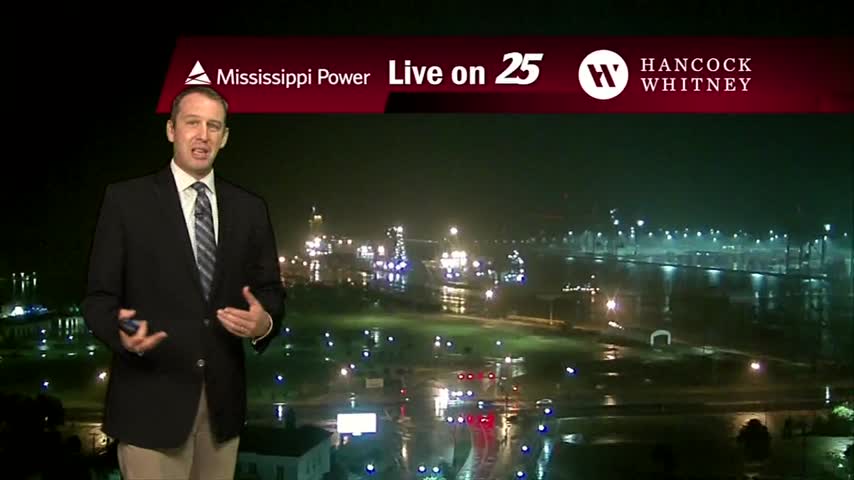
Two fronts have moved into the area, meaning rain will remain until they've moved on....