07/27 Ryan's "Wet & Grey" Monday Evening Forecast
Another wet start to the week after a rainy weekend, but sunny weather returns soon!
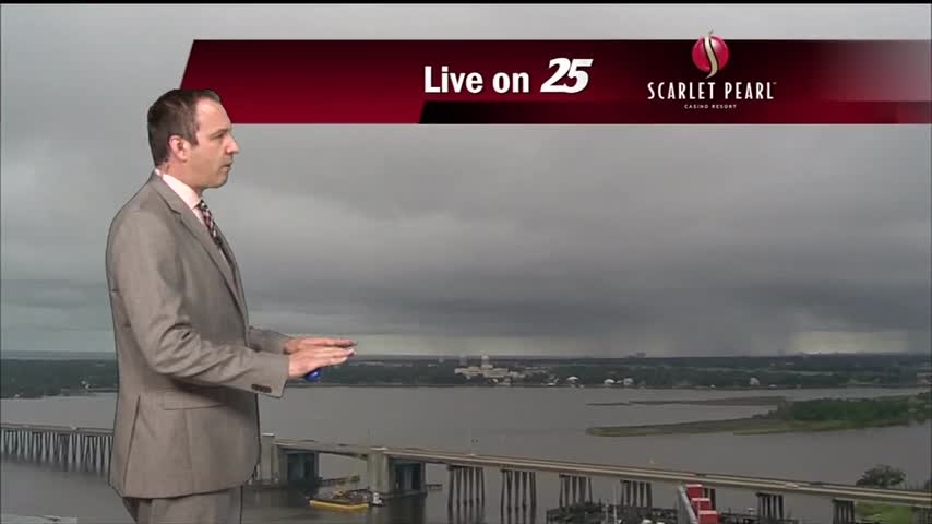
Another wet start to the week after a rainy weekend, but sunny weather returns soon!
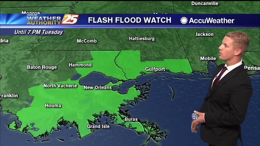
Rainy weather continues to be in the forecast for today and tomorrow. There’s around an 80 percent chance of showers and thunderstorms for both Monday and Tuesday on the Coast and we could see some minor flooding. The good news…
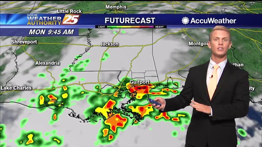
Lows tonight will then be in the lower 70s. Highs tomorrow will likely be cooler than we’ve seen recently due to cloud cover and showers and storms. Temperatures will likely be in the lower to mid 80s over South Mississippi,…
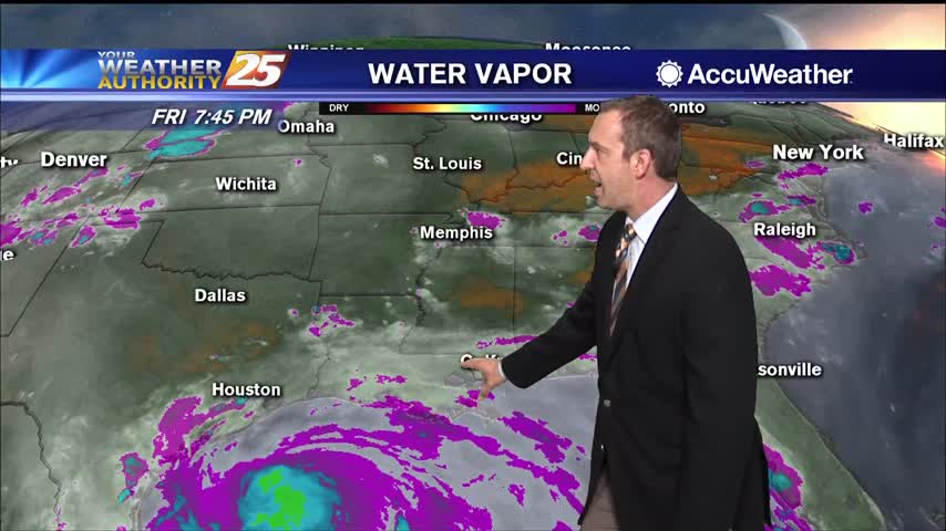
Expect nearly all-day rain through the weekend and start of next week as very wet weather continues.
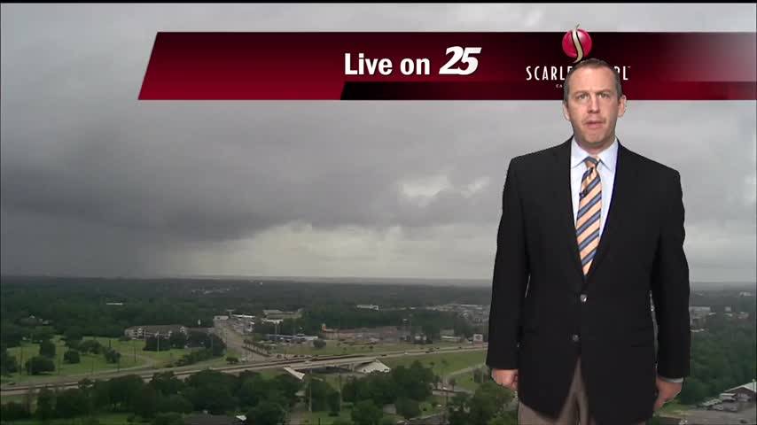
Most of this week was dry, but rain chances began to increase yesterday and will remain quite high over the weekend.
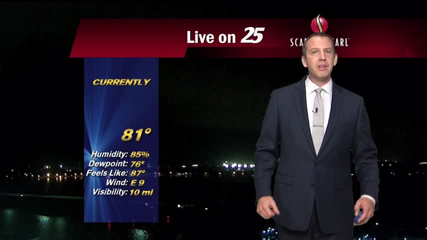
The weather is still hot and humid despite dropping 5 or more degrees, but will now be much wetter as rain continues through the weekend.
Grey, rainy weather started today and sadly won't end for several more days.

Tropical Depression #8 is expected to continue westward, making landfall on the Texas coast Saturday as a tropical storm. The main concerns here will be bands of heavy rainfall, and potential for minor coastal flooding. The moisture flow will be…
TD #8 is expected to continue westward, making landfall on the Texas coast Saturday. Main concerns here will be bands of heavy rainfall, and potential for minor coastal flooding. The moisture flow will be considerably high through Friday before diminishing…
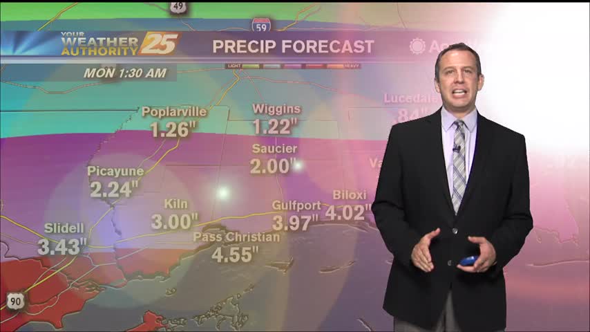
Slightly more rain today than yesterday, but much more lies ahead for the rest of the week!
Saw a couple more showers today, but it won't be until tomorrow we get back to our "normal" summertime pattern.
Our drier trend we've enjoyed since the weekend ended today, so expect wetter weather for the rest of the week.
The trend for overnight showers/t-storms developing nightly with storm motion towards the coast continues. This trend will intensify over the next few days, especially Thursday. Moisture flow will increase significantly through tonight lending to the potential for heavy rainfall with…
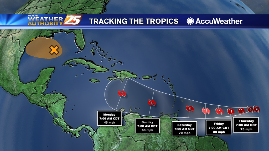
Tropical Storm Gonzalo has formed over the central Atlantic Ocean, breaking the record for the earliest "G" letter named storm. Previously, the earliest 7th named storm to form in the Atlantic basin (which includes the Gulf of Mexico and Caribbean…
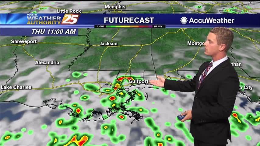
Moisture flow will increase significantly through tonight lending to the potential for heavy rainfall with any particular cell. But the good thing is that all of this activity looks to be moving at a good pace so they should not…
Today was much closer to average in terms of afternoon thunderstorm activity, but the next few days are going to be much wetter.

Our drier trend we've enjoyed since the weekend ended today, so expect wetter weather for the rest of the week.
Saw a couple more showers today, but it won't be until tomorrow we get back to our "normal" summertime pattern.
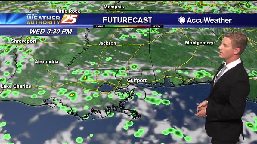
The main short term issue is the easterly wave currently west of Cuba that is forecast to be over the western Gulf on Thursday. The NHC is maintaining 40% threat of a tropical low developing, but not seeing any model…
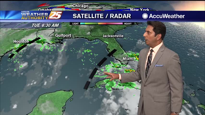
The main short term issue is the easterly wave currently west of Cuba that is forecast to be over the western Gulf on Thursday. The National Hurricane is maintaining 30% threat of a tropical low developing, but not seeing any…

The weather hasn't provided any surprises over the last few weeks, but we'll see some significant changes before this week is over as a tropical wave approaches.
The main short term issue is the easterly wave currently west of Cuba that is forecast to be over the western Gulf on Thursday. The National Hurricane is maintaining 30% threat of a tropical low developing, but not seeing any…
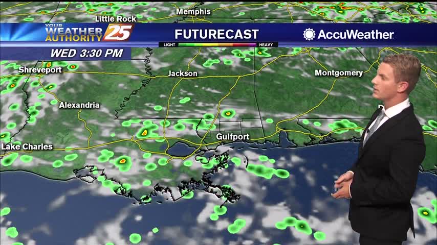
The main short term issue is the easterly wave currently west of Cuba that is forecast to be over the western Gulf on Thursday. The NHC is maintaining 40% threat of a tropical low developing, but not seeing any model…
The weather hasn't provided any surprises over the last few weeks, but we'll see some significant changes before this week is over as a tropical wave approaches.