07/20 Ryan's "Nice & Dry" Monday Evening Forecast
Hot and humid again today as our weekend drier trend continues, but that will come to an end later this week.
Hot and humid again today as our weekend drier trend continues, but that will come to an end later this week.
Monday and Tuesday, a typical summertime pattern will dominate. Southeasterly surface winds will enhance the moisture in the region. Rainfall chances will be higher over the marine areas. A tropical wave will move into the northern Gulf and increase rain…
Tonight, high pressure will dominate the region. Rainfall chances will be lower, especially over inland areas. Persistent southeasterly winds will help to bring in warm air and moisture into the region. Heading into Monday and Tuesday, a typical summertime pattern…
Much less rain today than the last few days, something we'll continue into the weekend but it doesn't stay away forever.
No measurable rain today and little expected over the next few days, but it will return soon.
Today through Monday, we should see relatively dry conditions. Unfortunately, less cloud cover means the heat will be back but not as bad as several days ago. Heat index values will be in a 100-105 range. Most showers and thunderstorms…
Today through Monday, we should see relatively dry conditions. Unfortunately, less cloud cover means the heat will be back but not as bad as several days ago. Heat index values will be in a 100-105 range. Most showers and thunderstorms…
A drier weekend is on the way, but it won't be really any less hot or humid.
Still hot and humid, but much drier today...something I expect to see carry through the weekend.
Showers and storms will once again be spreading inland throughout the day on Thursday, but the main focus will be placed on coastal Mississippi and Louisiana today as our current pattern is supporting the thunderstorm activity across the coast and…
Showers and storms will once again be spreading inland throughout the day on Thursday, but the main focus will be placed on coastal Mississippi and Alabama today as our current pattern is supporting the thunderstorm activity across the coast and…
Our summertime pattern continues, so expect more hot and humid weather with afternoon showers...for at least one more day.
Another active afternoon in the books, but we're in for another quiet night before doing it again tomorrow.

Coverage of storms will increase over the Gulf and along the Coast throughout the late afternoon hours. Conditions appear favorable again this for waterspouts across the nearshore waters. Muggy conditions will persist today. High temperatures will be slightly cooler in…
Skies are starting off mostly clear along the Gulf Coast, but it won't last for long. Looking a little to the south, isolated showers and storms continue to stream into the Gulf waters this morning. Coverage of storms will increase…
No real surprises in the days ahead, but today's waterspout in Hancock county reminds us to be "weather aware."
Very similar weather is moving in, so prepare for more hot and humid days and muggy nights.
High temperatures are expected to top out in the mid to upper 90s once again across the Gulf Coast. Another Heat Advisory is in effect for all of South Mississippi until 8 p.m. Tuesday as heat index values are expected…
An upper level high-pressure that was centered over New Mexico/Arizona is starting to get suppressed southward by a broach disturbance pushing south out of Canada. This is also starting to weaken the eastern side of it over our area. It…
Things will cool down slightly in the days ahead due to more afternoon rain, but otherwise not much else changes.
Hot and humid start to the week after a miserably hot and humid weekend, but some slight relief is moving in.
Another hot and muggy day is on tap for the Gulf Coast! High temperatures should get up to around 95 degrees, but humid air will make it feel like it’s close to 110 degrees. A Heat Advisory is in place…
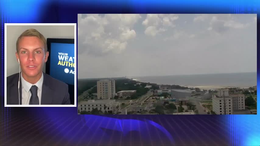
Looking ahead to tomorrow, the weather pattern and setup for heat really doesn`t change with high pressure both at the surface and aloft dominating. The main difficulty is forecasting the areas that keep upper 70s to near 80 dewpoint temperatures…
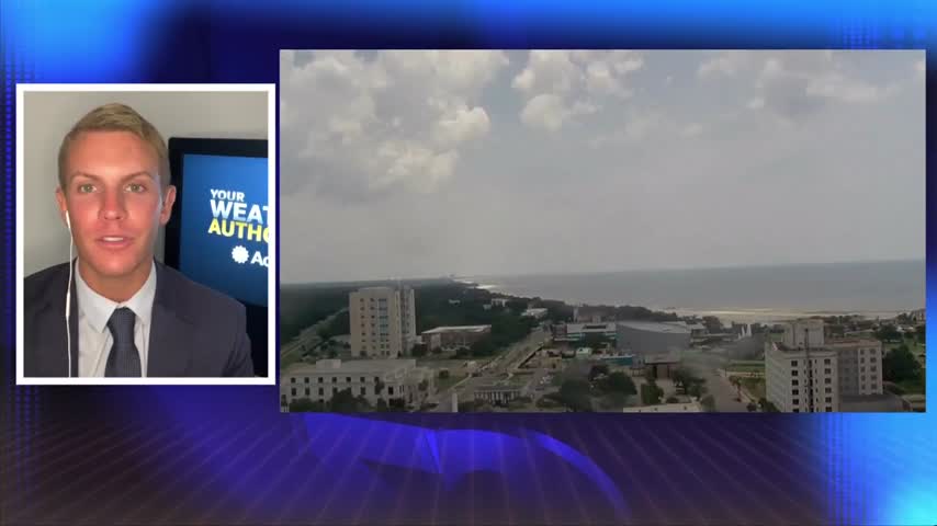
Looking ahead to tomorrow, the weather pattern and setup for heat really doesn`t change with high pressure both at the surface and aloft dominating. The main difficulty is forecasting the areas that keep upper 70s to near 80 dewpoint temperatures…