08/05 Ryan's "Still Drier" Wednesday Night Forecast
Sunny and beautiful during the day and clear and calm at night, but those drier conditions will begin to give before long.
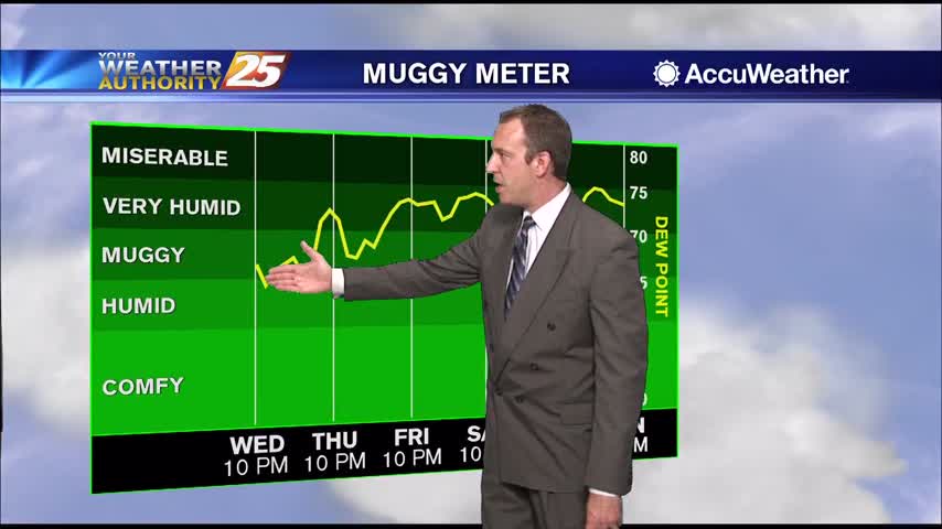
Sunny and beautiful during the day and clear and calm at night, but those drier conditions will begin to give before long.

Temperatures are above average, but the weather outside doesn't feel too bad thanks to slightly drier air. Doesn't last forever though....
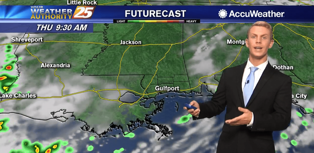
Another hot, mostly sunny day is on tap for the Coast! High temperatures will top out in the lower to mid 90s. Humidity levels are lower today compared to the last week or two, but there will still be a…

A weak cold front overhead is beginning to make the transition to a stationary front which should drift back to the NW beginning Thursday morning. This will lead to slightly more coverage in storm development heading into the weekend. Going…
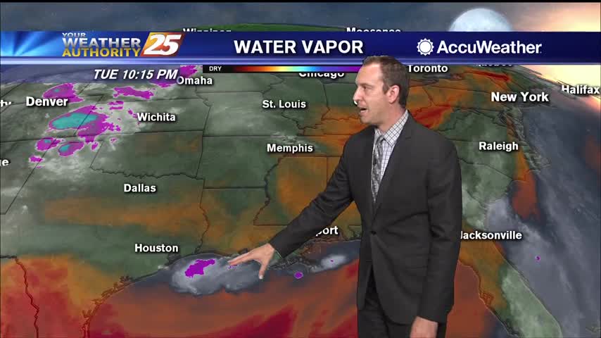
Not really any cooler, but it'll feel that way as slightly drier air makes its way to the surface.
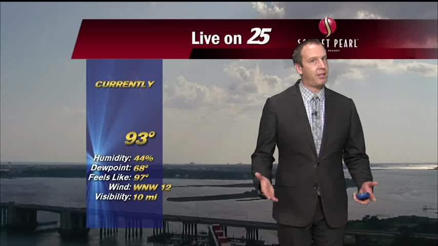
Drier air has moved into the upper levels and is trickling down to the surface, meaning things will stay a bit cooler and drier for now.
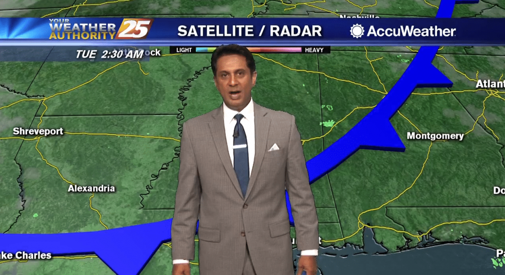
A weak cold front overhead will provide for less humid air through the latter part of the work week as the mid/upper level flow from the NW will suppress activity. It is possible daytime heating could pop an isolated shower…
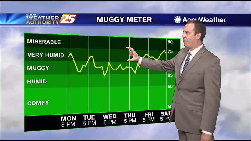
Continuing our beautiful weather from the weekend into the week, and drier air is going to keep things nice and sunny for a while!
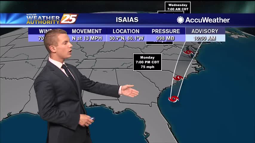
Most areas are likely to remain dry on Monday, but cannot rule out an isolated, mainly afternoon storm as enough moisture may linger to support development. We continue to anticipate the development of isolated to perhaps scattered showers and thunderstorms.…

A warm start to the day with slightly less humid conditions compliments to a NW wind...
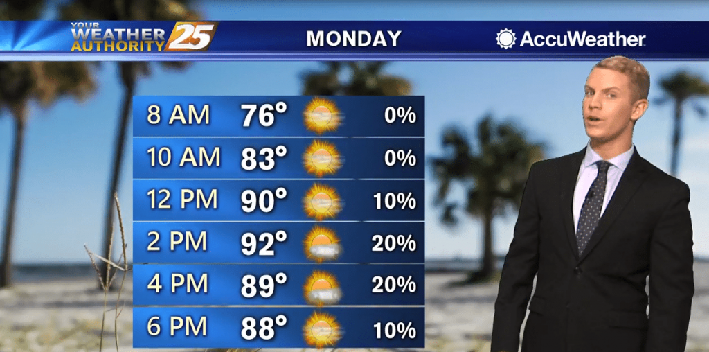
A mostly sunny pattern will continue for the start of the work week. Drier air is forecast to spread in from west to east. Most areas are likely to remain dry on Monday, but cannot rule out an isolated, mainly…

Conditions pretty close to the seasonal average have moved in, and we saw much less rain today. How long will it last?
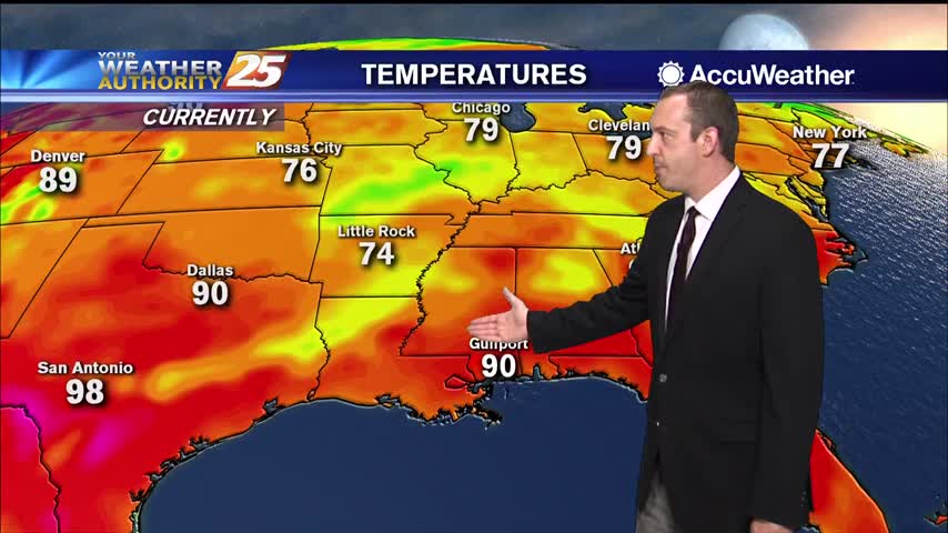
It was slightly cooler than average today, and we didn't see any afternoon thunderstorms, but those days will return quickly!
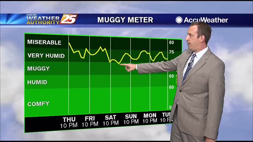
Drier weather has moved in, so don't expect any less humidity, but we'll be largely rain-free for the next couple of days.
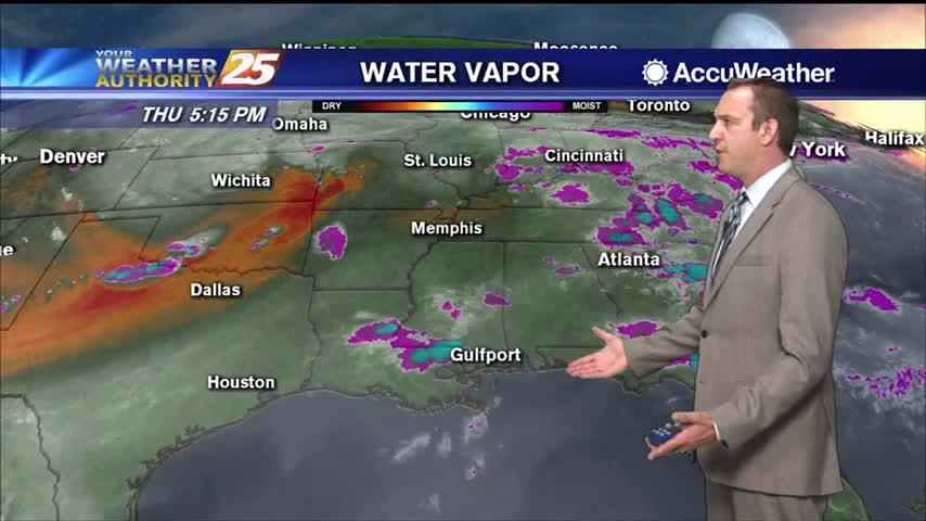
The drier period I've been talking up all week is finally here, but that means some hot and humid weather is moving in.
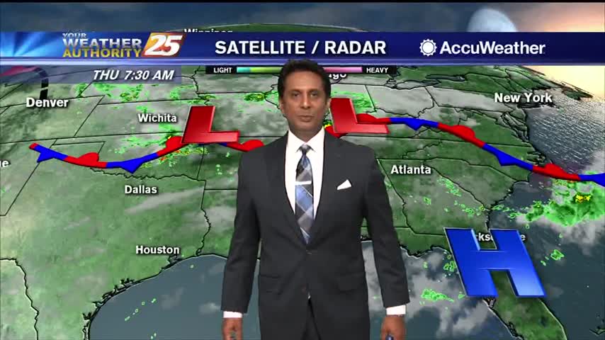
Weak upper level high-pressure draped across the Gulf of Mexico to the far western Atlantic Ocean will finally expand far enough north to bring rain chances down considerably across the area. While previously thought we'd be rain free, it's not…
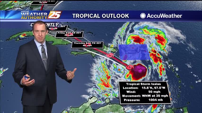
Definitely drying out as no showers are expected overnight, and we'll see much more sun in the days ahead.
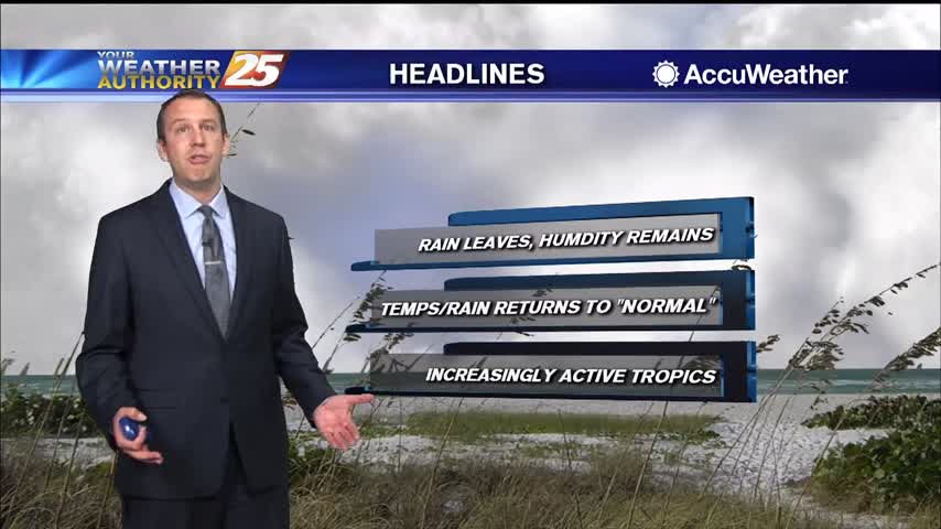
It's been pretty wet since the end of last week, but a drier trend is finally beginning which will take us through the weekend.

HATTIESBURG, MISS. — The Mississippi Department of Transportation (MDOT) urges residents to get their hurricane evacuation kits ready before a hurricane threatens. A hurricane evacuation kit can help ensure you and your family have all the necessary items needed if…
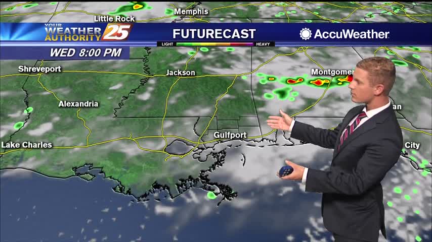
Rain chances are elevated again today at around 70 percent as shower and thunderstorms roll through South Mississippi. Highs will be in the mid 80s. Thursday through the weekend, expect temperatures to get back into the upper 80s to around…
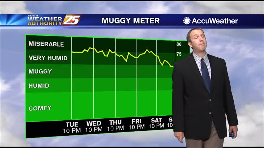
More rain tonight and tomorrow, but drier weather finally moves in just before the weekend.
Tropical moisture remains in place, so widespread shower activity lingers for at least one more day before changes move in.
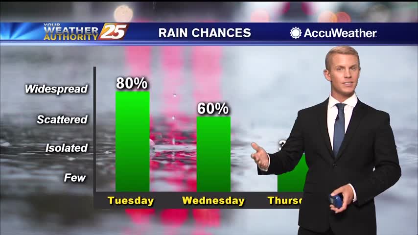
Wet weather is in the forecast once again today. There’s around an 80 percent chance of showers and thunderstorms through the early evening and we could see some heavy rainfall. A Flash Flood Watch is in effect until 7 p.m…

Another day of showers with isolated t-storms before the pattern begins to change. A FLASH FLOOD WATCH is in effect through this evening as another inch or 2 of accumulation will be possible. The drier period that starts on Thursday…