07/30 – Rob Knight’s Thursday Morning Forecast
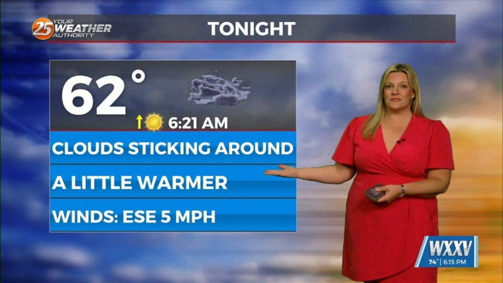
Weak upper level high-pressure draped across the Gulf of Mexico to the far western Atlantic Ocean will finally expand far enough north to bring rain chances down considerably across the area. While previously thought we’d be rain free, it’s not looking like we’ll get that lucky. While moisture flow has reduced significantly, models show a pool of moisture passing across the northern half of the area during peak heating hours. That combo will be aide in convection development, mainly north or I-10. Expect a 20-30% precipitation chances this afternoon. A weakens in the pattern to the north of the area today will begin to sharpen and track southward across the mid-west Friday. Subsidence ahead of this system as well as from high-pressure over the GOM should finally give us a rain free day (or close to it).
Upper troughing from the southern Great Lakes to east Texas will push a weak front into, but not through the area Saturday. After all, it is (or at least will be) August. Fairly low moisture levels will recover during the day on Saturday. This should be sufficient to allow for the development of scattered showers and thunderstorms Saturday afternoon. For Sunday and beyond, more likely, we’ll see coverage in the 30 to 50 percent range each day, primarily in the afternoon hours. With some mid-level dry air noted in the soundings over the weekend, can’t rule out a few issues with wind with the stronger storms Saturday and Sunday.


Leave a Reply