6/18 - Sam Parker's "Bad Hair Day" Tuesday Evening Forecast
High pressure to the NE appears to strengthen a bit and move back over the next few days. This suppresses the circulation to the southwest enough…
High pressure to the NE appears to strengthen a bit and move back over the next few days. This suppresses the circulation to the southwest enough…
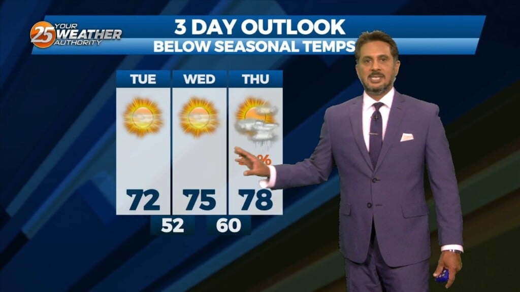
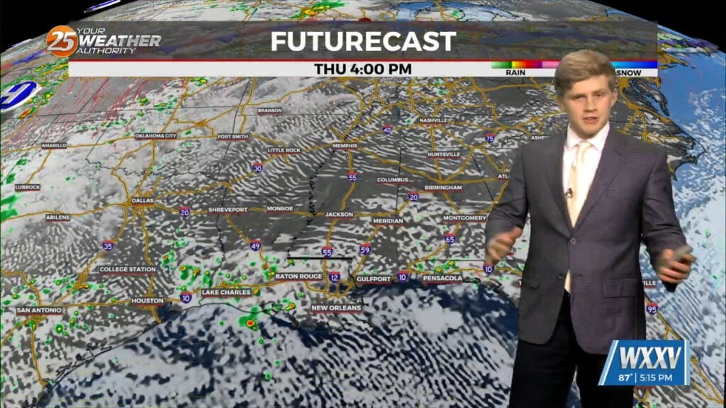
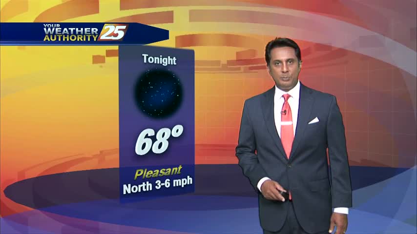
Lovely…but below seasonal temperatures will continue this afternoon as high pressure slides eastward to the Atlantic Coast by Wednesday afternoon, eventually turning low level flow onshore…
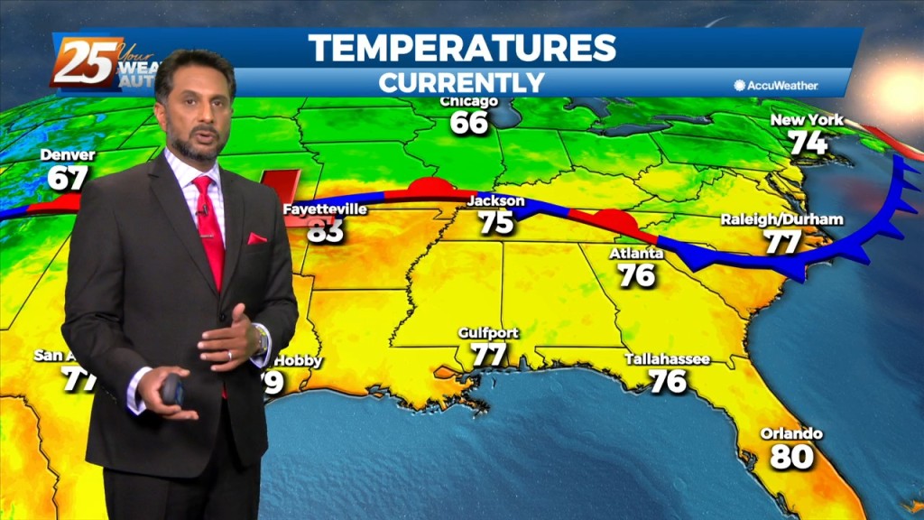
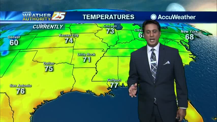
Temps will climb a bit today as dry air will begin to take the place of the departing tropical environment but won’t be too fast…
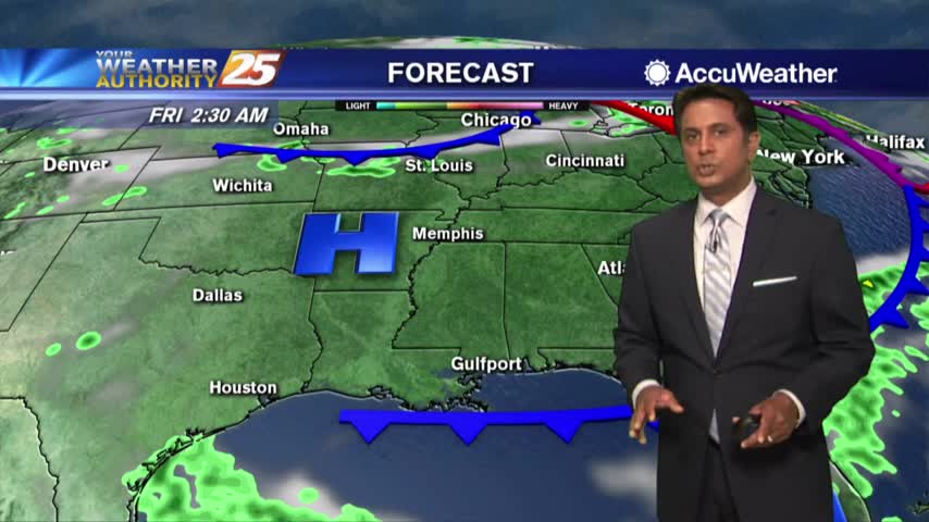
The broad upper level ridge stretching across the CONUS is the main pattern the area will be in for the short term (and majority of the long…
Post front airmass continues to push in today as upper level high-pressure to the NW shapes the short term forecast. This will bring another below normal temperature…
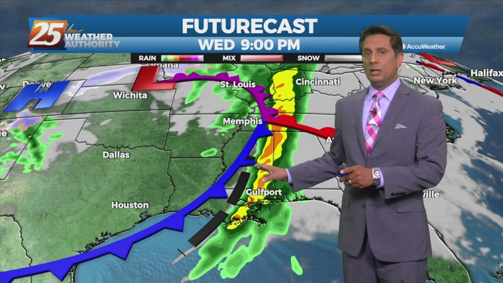
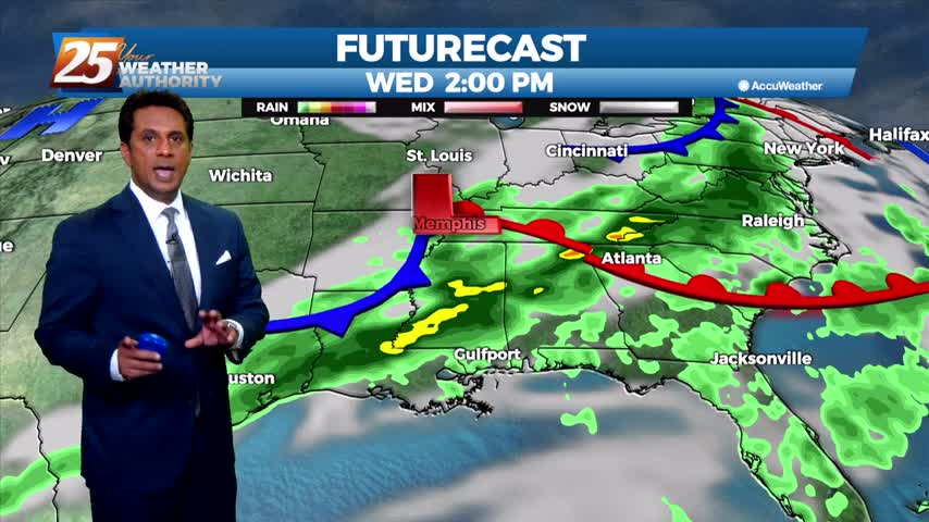
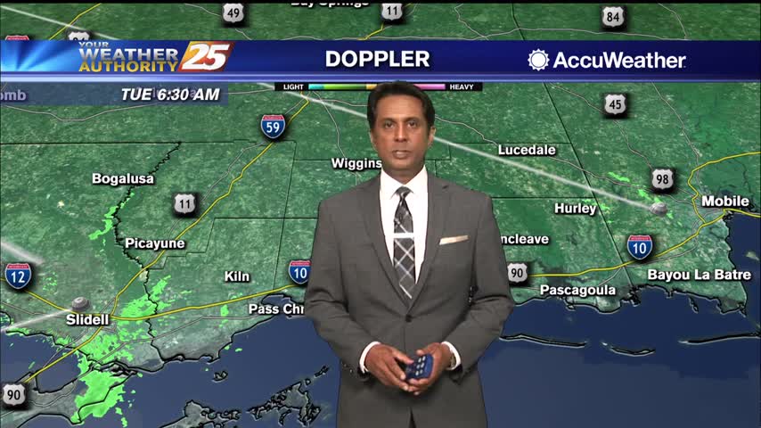
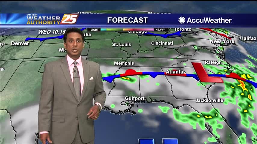
Very strong wind event and severe weather potential is expected Wednesday and Wednesday night... A quiet day with the exception of fog this morning but…
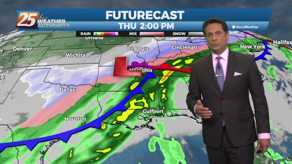
Rainfall moving into the area later today will continue to intensify overnight with the potential for 1/4 to 1" accumulation. The next round of rain will…
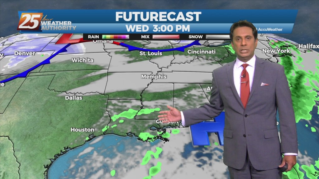
Upper level moisture and clouds will move across the area this morning with more sunshine this afternoon. Tonight into Wednesday, zonal flow will continue to dominate the upper…
A pleasant start to the day with warmer temperatures...
A warm start with clouds in the area and WAY ABOVE seasonal morning temperatures...
As temperatures continue to war, a low-level deck of clouds are forming just north of the interstate...
A warm start with an abundance of sunshine now that fog has burned off...
A warm and muggy start to the day with patchy fog and spotty light rain...
A pleasant start this morning after some much needed rainfall yesterday afternoon/evening...
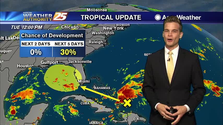
Remaining hot and humid, and watching a disturbance headed toward the Gulf.
Another humid afternoon with the low chance of a downpour
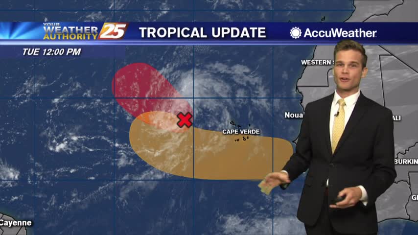
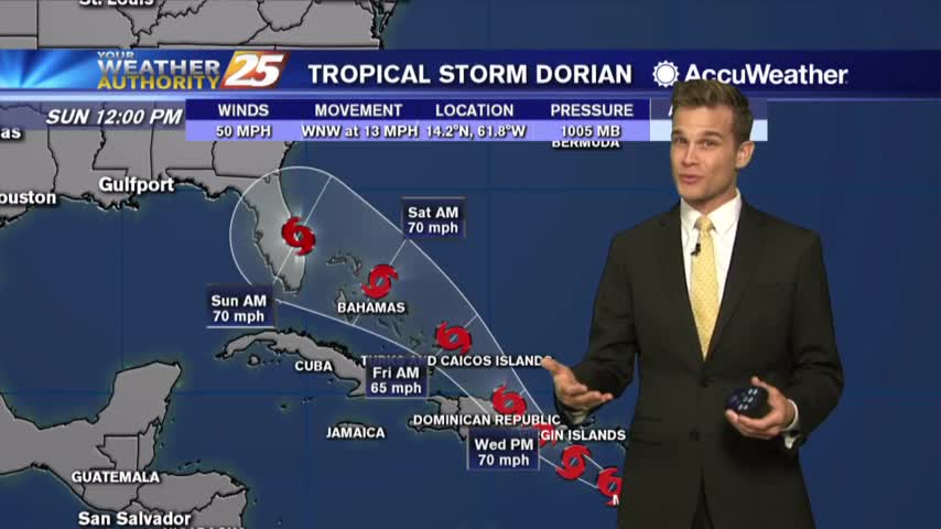
A hot and dry week...multiple tropical cyclones could develop
Few more days of rain before dry air moves in
Lower rain chances today, but chances increase into Wednesday
More rain today and the latest on the potential for heavy rain this weekend.
Dense fog in areas this morning...heavy rain possible this afternoon.
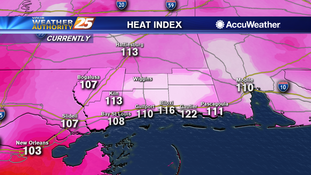
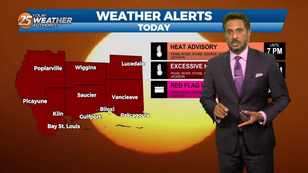
Dangerous heat today as heat index values top 115
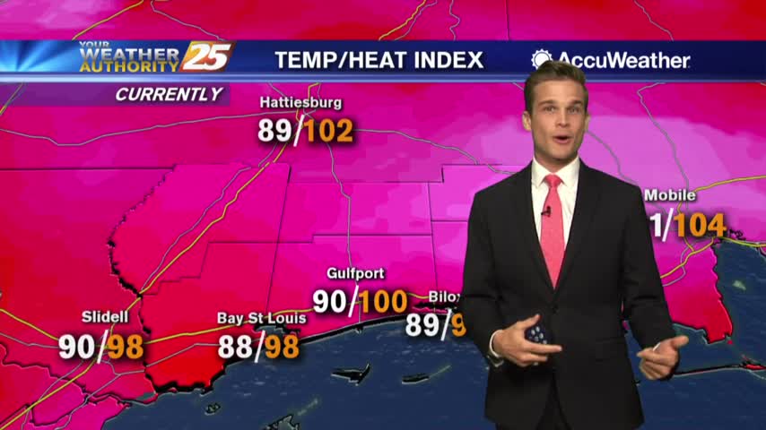
Heat index values over 105 in a few locations this afternoon. If you're lucky a shower could cool you off.
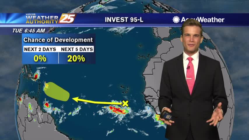
Rain possible this afternoon, and the latest on the tropics.