1/4 – The Chief’s “Frigid Start” Morning Forecast
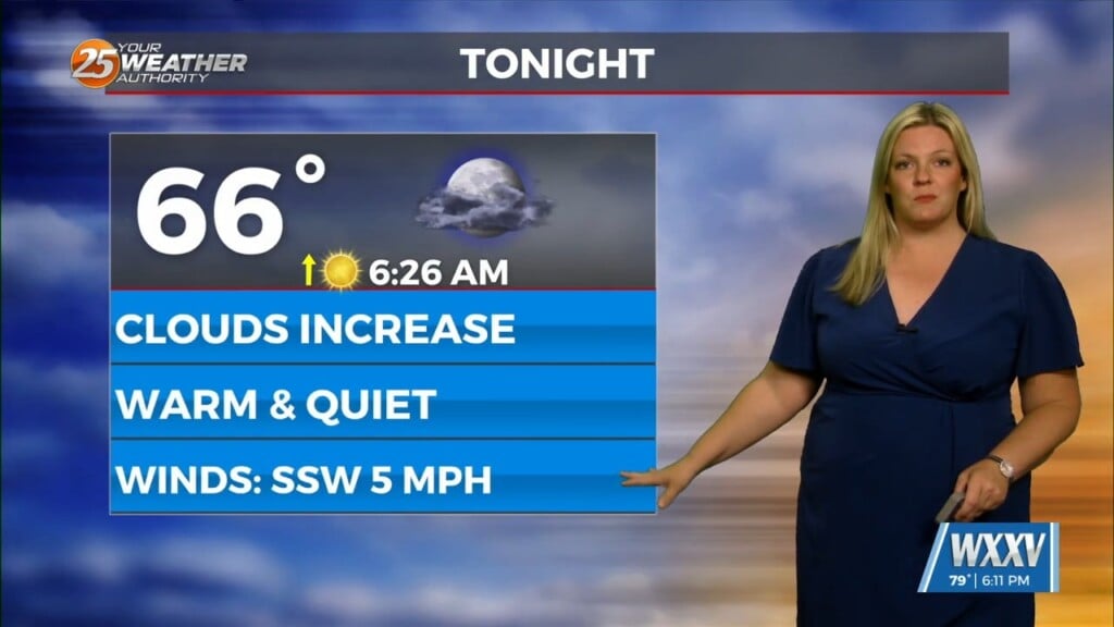
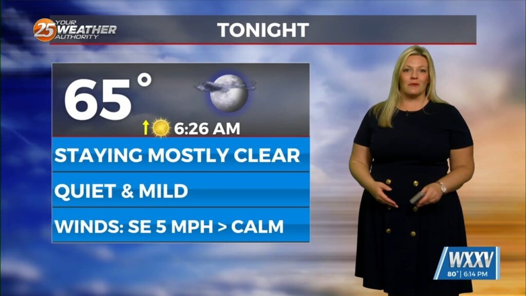
Upper level moisture and clouds will move across the area this morning with more sunshine this afternoon. Tonight into Wednesday, zonal flow will continue to dominate the upper level pattern. Southerly surface winds will act to reintroduce warm air and moisture into the region, which will enhance some instability in the area. As a result, an isolated shower or two will be possible Wednesday, mainly during peak afternoon daytime heating hours along the coastal areas.
Thursday, a low pressure system will move through the area, which will enhance rain chances some. Southerly surface winds ahead of the frontal system will act to enhance warm air and moisture advection into the area. Looking at the models, scattered showers will be possible Thursday morning and afternoon along with the system moving through.
Strong cold air advection and dry air advection due to northerly surface winds behind the front will lead to more cold low temperatures on Friday morning. Low temperatures on Friday will
range from the upper 20s to the mid-30s on Friday morning. Upper level high pressure in the Gulf will dominate the upper level pattern Friday. Saturday and Sunday, a disturbance is expected to influence the area. Southerly surface winds will act to continue to advect warm air and moisture advection into the area, which will enhance instability in the region. Upper level divergence will act to enhance lifting in the environment as well this weekend. Scattered to numerous showers and storms will be possible Saturday into Sunday. Lightning and gusty winds will be possible with this system.


