4/11 - The Chief's "Rain Moving In Tonight" Tuesday Afternoon Forecast
A surface low will develop rather rapidly by a strong divergent flow aloft which is also indicative of heavy rain potential ahead. The disturbance that…
A surface low will develop rather rapidly by a strong divergent flow aloft which is also indicative of heavy rain potential ahead. The disturbance that…
A surface low pressure system will be directly under a split flow south of the Miss delta while the upper low will be to the WNW…

An upper high pressure builds east rapidly, it will flatten an upper trough east of the Rockies and cause it to orient more west to east over…
The feature that is about to give rise to our forecast is currently located over the Nebraska/Kansas border. This is seen as a weak low pressure…
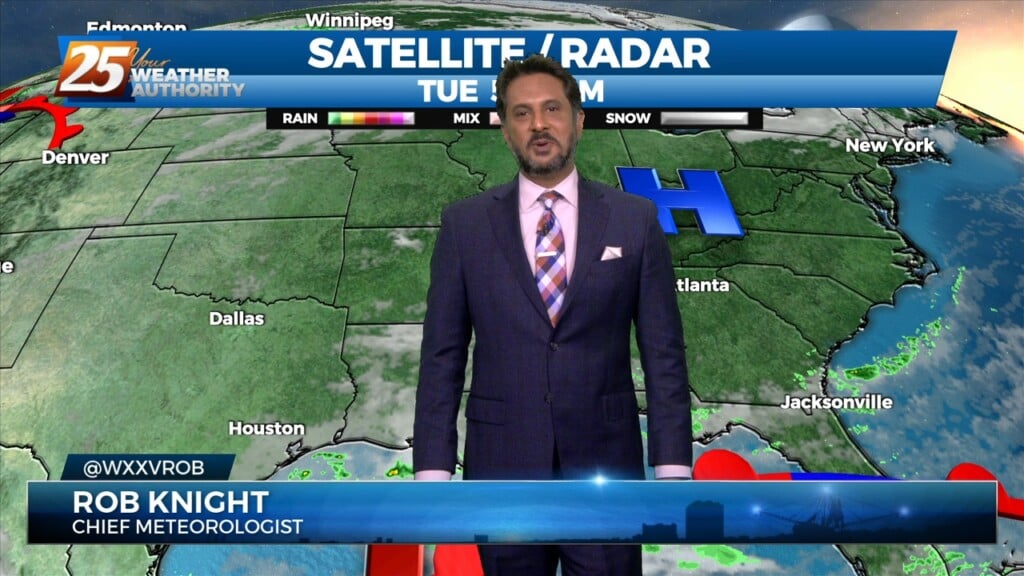
The main story for today will be increased rain chances as what has been mentioned for days now as a front slowly drifts east into our area.…
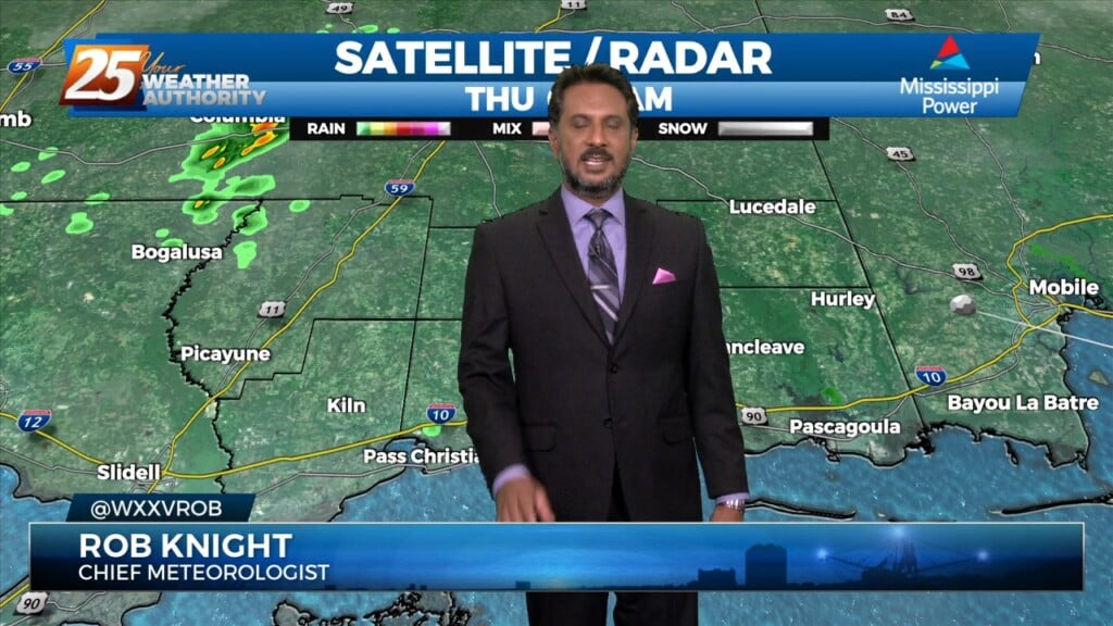
Starting off with early this morning, recent radar trends illustrate some isolated showers developing generally along the I-10 in coastal MS. The main story for today…
Warm & windy conditions will continue as a cold front to the west has slowed dramatically. This means that just about all of the associated dynamic…
A cold front drapes south into the southern Plains where severe weather is ongoing across the AR/OK/MO region and will continue NE into the Ohio Valley…
An upper level disturbance Memphis is moving quickly eastward in zonal flow across the southern states. Another strong upper disturbance is moving onshore in the…
At the surface, high pressure was centered off the Virginia coast. Low pressure was centered over Nebraska with a trailing cold front to west Texas. Moisture…
High pressure covers much of the Gulf of Mexico, extending northward toward the Great Lakes. A deep upper disturbance extends from Montana to the Four Corners area.…
High pressure will continue to move east today with the axis crossing the local area late this afternoon and tonight. This will allow winds to turn…
High pressure was currently located over the Great Plains, with the next in the series of strong storm systems moving across California. At the surface, high…
Last night’s cold front has moved well out into the central Gulf of Mexico, ushering much cooler and drier air into the area. A disturbance moving…
We continue to see scattered t-storms develop along a boundary well to the southwest, with strong to severe storms noted over the Gulf of Mexico to…
A meandering frontal boundary currently located just north of the area in south-central Mississippi and central Louisiana will drift southward this morning in response to a…
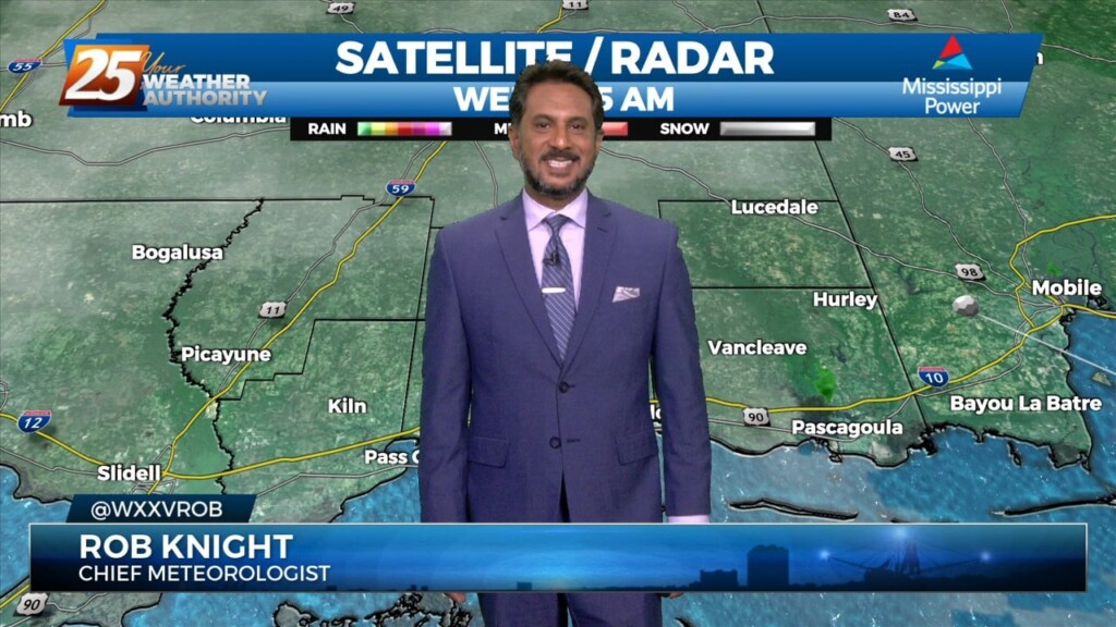
Fog will become an issue tonight but winds should stay too high nearest the coast and a cloud deck at 2k` starts to move in…
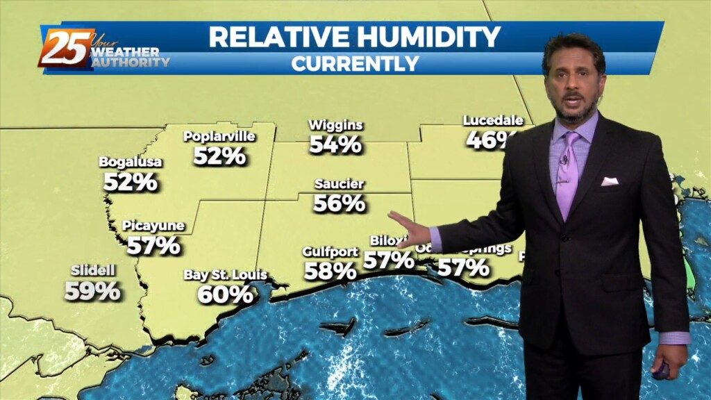
A the moisture returns and temps getting into the 50s and 60s along with dew point temps, we will need to turn to those variables that…
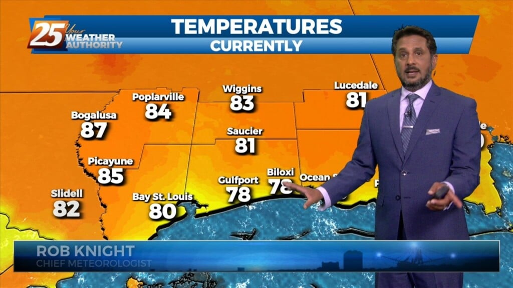
The return flow will become more established today and remain that way through the short term. This will help add to the warming trend over…
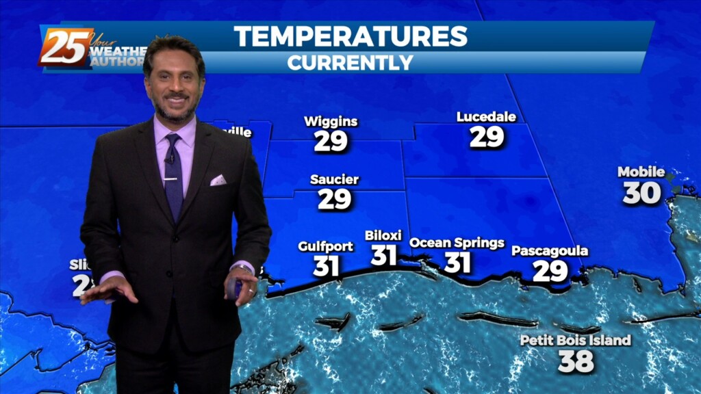
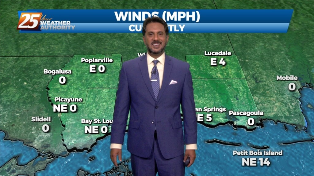
A TRUE winter morning on this final day of the season, as a FREEZE WARNING is in effect through 10 am. Temperatures will rebound quickly after…
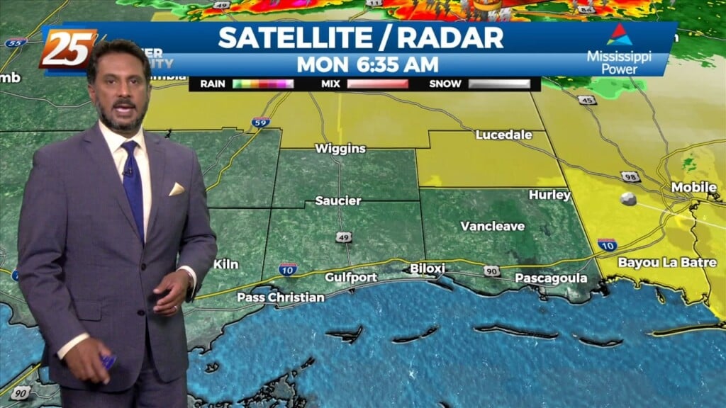
A line of showers/t-storms to the west associated with an approaching cold front will move into through area this morning into early afternoon. A…
Warmer temperatures will affect the area this afternoon as a southerly return flow develops. Expect partly to mostly cloudy skies from west to east as moisture…
Today will be warmer with southerly return flow developing and slightly higher heights aloft. Mostly sunny skies early will give way to partly to mostly cloudy skies…
An upper level impulse continues to move downstream this morning after producing some light shower activity overnight. Today will be a transitional day for the region…