3/30 – The Chief’s “Sunny & Warm” Thursday Afternoon Forecast
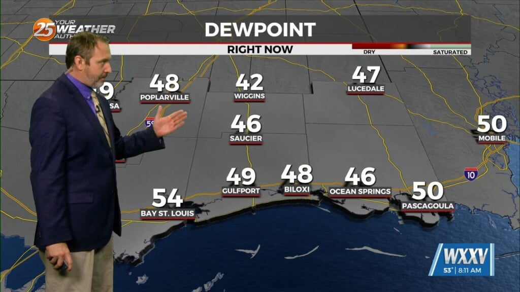
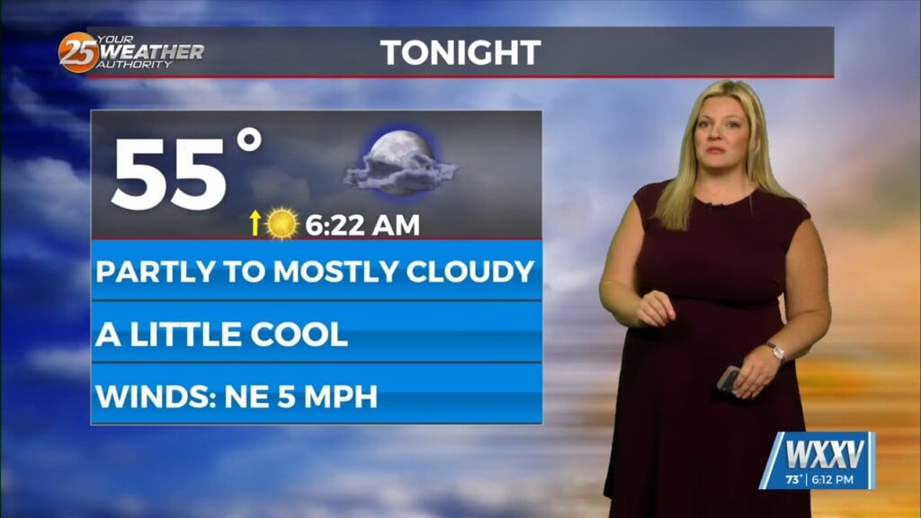
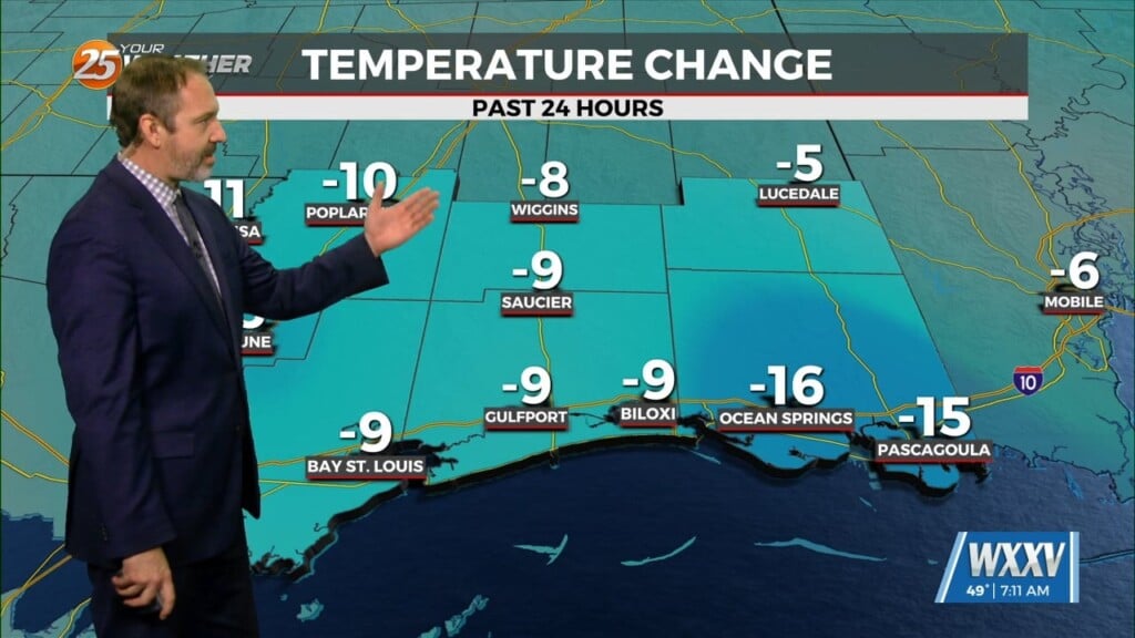
High pressure will continue to move east today with the axis crossing the local area late this afternoon and tonight. This will allow winds to turn to the southeast and south later today and tonight, returning moisture back to the area. We’ll be mostly sunny today with comparatively low humidity levels and highs in the mid and upper 70s. Mid and upper clouds return tonight, and overnight lows are likely to be 10-15 degrees warmer than this morning.
The current California system will reach the Great Lakes Friday night and Saturday morning, with the trailing cold front becoming parallel to the upper flow over the Gulf Coast States on Saturday. While main forcing will remain well to the north of the area, and probably north of Interstate 20, there’s still the potential for a narrow scattered to broken line of thunderstorms to move across the area late Friday night. This would be mainly north of the Interstate 10 corridor. Drier air will filter in behind the front on Saturday, but it’s questionable whether that drier air makes it the whole way to the coast or not. We should end up with a fairly nice afternoon Saturday.
As we remain in a progressive upper pattern, the drier air will only hang around for 24 hours or so, with winds returning to a southerly component and dew points rebounding from around 50 on Saturday to the 60s by Sunday night. Another disturbance is expected to move through the northern Gulf Coast States Sunday night, and could produce scattered showers and storms Sunday night and Monday morning.


