3/29 – The Chief’s “Brief Dry Period” Wednesday Morning Forecast
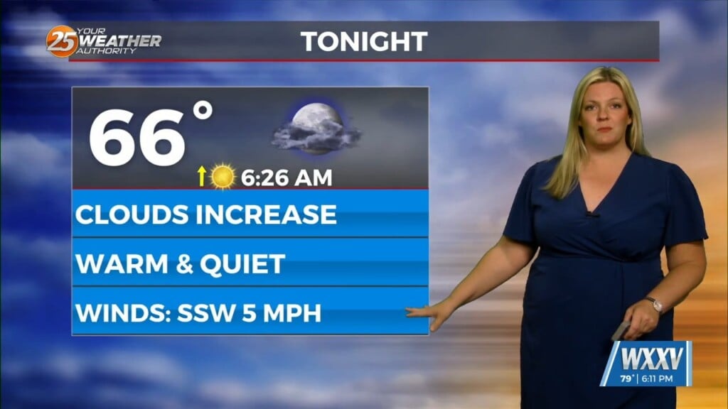
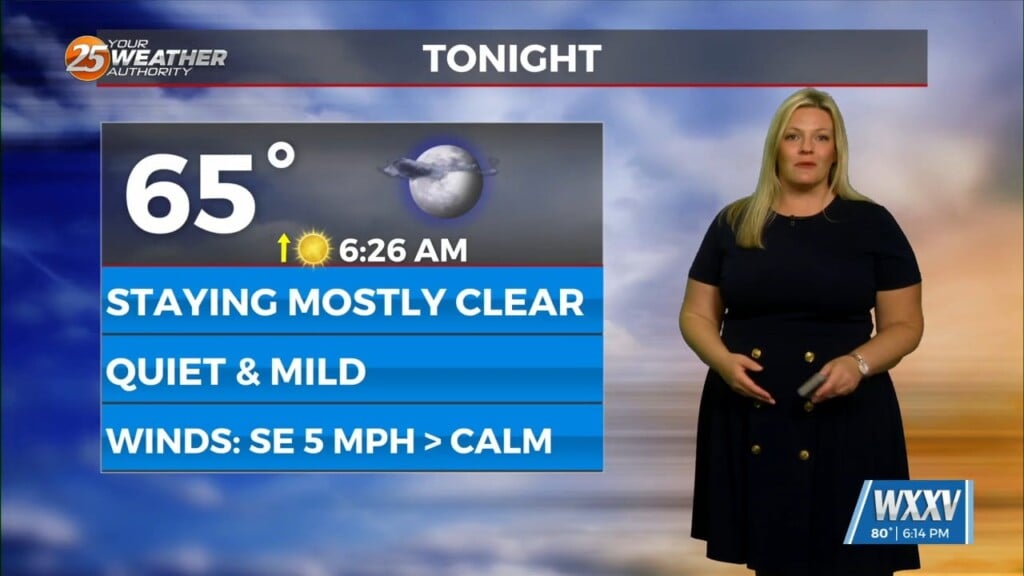
Last night’s cold front has moved well out into the central Gulf of Mexico, ushering much cooler and drier air into the area. A disturbance moving across the northern Gulf is keeping cirrus level clouds across much of the area. This should be the case most of the day today as the cloud shield extends as far southwest as northern Mexico. This disturbance should exit to the east this evening, with high pressure transiting the northern Gulf tonight and Thursday. Much less in the way of cloud cover expected on Thursday.
The main temperature question today is how much the cirrus deck retards warming. For tonight, I’ve lowered overnight lows several degrees in the Pascagoula and Pearl River drainage basins, per the usual adjustments under good radiational cooling situations.
The next significant system, currently impacting the Pacific Coast, will be exiting the Rockies Thursday night and Friday. Moderate onshore flow will increase moisture levels Thursday night and Friday, with dew-points returning to at least the mid-60s by Friday afternoon. The upper disturbance and surface low will be well removed from the local area, centered over Nebraska at midday Friday. As the deepening system moves into the Great Lakes Friday night, it will swing a cold front toward the local area after sunset Friday. Not out of the question that we could be on the southern end of a line of storms Friday night, but better moisture and shear profiles will be well to the north of the area, to the north of Interstate 20. It will likely take most of the day Saturday for the front to make it through the local area, if it can.


