3/27 – The Chief’s “Wet Pattern Returns” Monday Morning Forecast
A meandering frontal boundary currently located just north of the area in south-central Mississippi and central Louisiana will drift southward this morning in response to a cold pool left in the wake of convective activity that occurred yesterday along the I-20 corridor. As the impact of this cold pool dissipates in the late morning and afternoon hours, the front will stall along the I-10 corridor.
The peak timing for convection will be in the afternoon hours when instability peaks. Overall, t-storm activity looks to peak late this morning through the early evening hours when convective conditions are more favorable. This activity could be supportive of some strong to severe thunderstorms forming this afternoon as some deeper convective cores should easily develop. The main throat will be the potential for heavy rain, strong straight line winds and small hail.
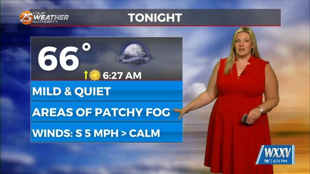
Late tonight and early tomorrow morning, another disturbance and associated surface boundary will quickly slide into the area. Increasing deep layer forcing will combine with ample moisture to produce scattered to numerous showers and thunderstorms in advance of the frontal boundary throughout the day tomorrow. The front and convection will first peak in the morning hours across the northwest half of the forecast area, and then transition towards the coast by the afternoon hours. The convective threat should push into the offshore waters by the evening hours. Overall, the severe threat will remain the same as seen today to continued steep mid-level lapse rates and speed shear of 40 to 45 knots in the effective layer. Large hail and strong damaging wind gusts will once again be the primary concern on Tuesday with the deepest convective cells.
Although a cooler and more stable airmass will advect into the area Tuesday night into Wednesday, a passing southern stream shortwave and southwesterly flow in the mid-levels will keep skies overcast into Wednesday morning. However, by Wednesday afternoon, skies should rapidly clear as the southern stream system pulls to the east and deep layer ridging builds into the area. Weak cold air advection will also take hold by Wednesday, and this will allow temperatures to cool back to more normal readings for late March with highs in the low to mid 70s and lows in the 50s.


