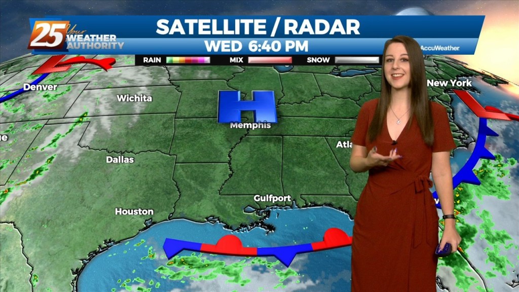
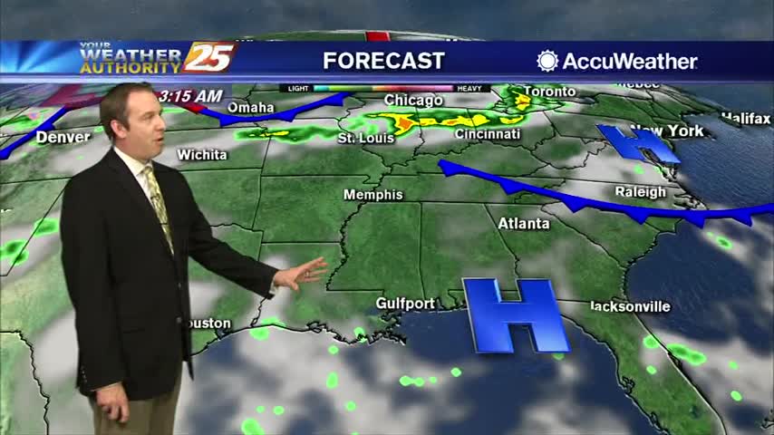
11/2 - Brittany's "Clear And Cool Night" Wednesday Evening Forecast
The forecast for the rest of the workweek is going to be quiet and dominated by high pressure building over the Gulf and southeastern CONUS. Heading…
The forecast for the rest of the workweek is going to be quiet and dominated by high pressure building over the Gulf and southeastern CONUS. Heading…
High pressure to our north is in control of our weather pattern today. Winds have become easterly in South Mississippi as transition of the pattern is underway. The upper disturbance over…
High pressure has begun to shift to its southeast throughout today. Westerly winds continue tonight dropping to 3-6 MPH overnight. Even though we will see cold…
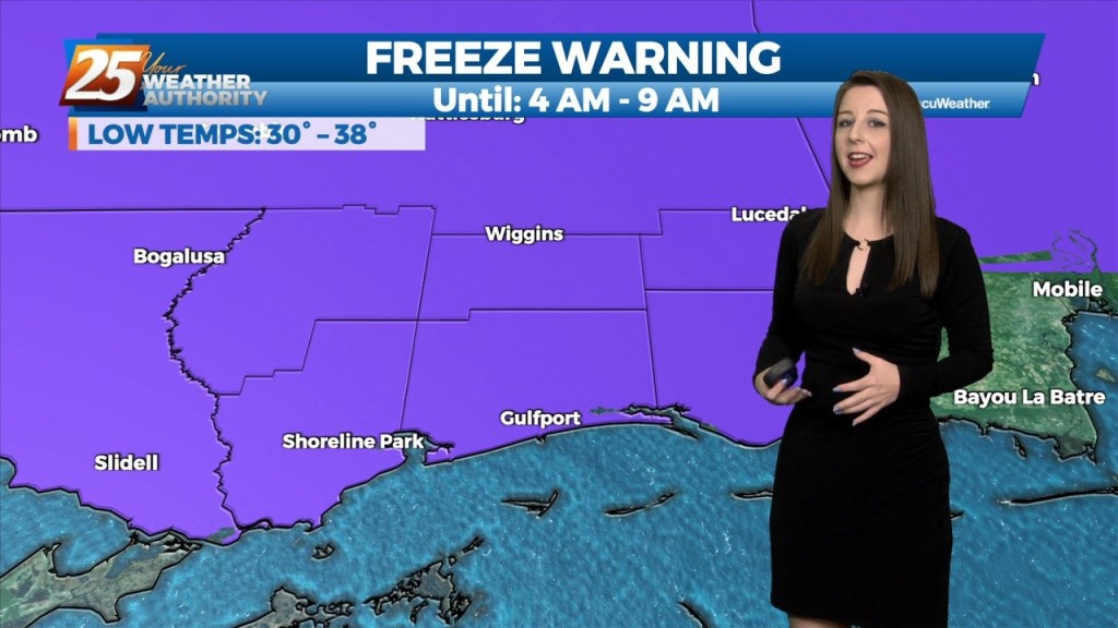
Temperatures will once again drop off very quickly after sunset, with the mercury dropping into the mid-40s around midnight, upper 30s to low 40s for overnight lows. Expect areas…
The cold front that passed through the area earlier has cleared our outer waters. The front brought and precipitation chances out of our area as well, leaving mostly clear…
High pressure continues to dominate our weather pattern across the area. A weak disturbance will move across the area this morning into this afternoon. With…
In summary, nice weather persists through the short term. Not much change in the short term forecast. Dry air mass will remain in place with high pressure centered to…
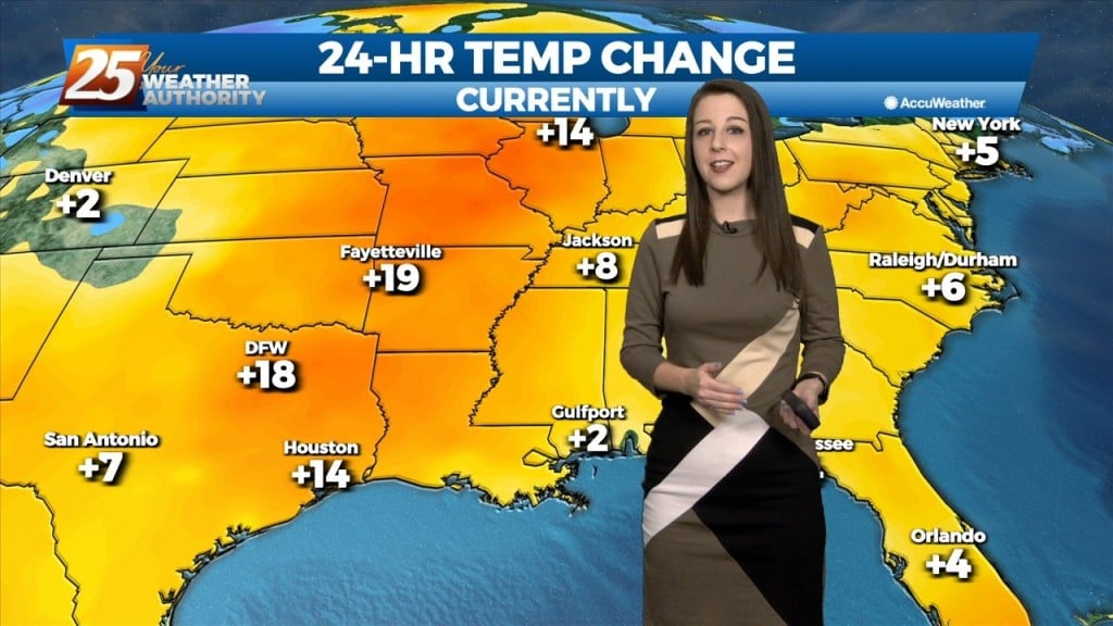
As high pressure sneaks into the area on the backside of a cut off low over the northeast, heights rise slightly which means slightly warmer temps…
From a meteorology standpoint, we are still between a trough to the east and a ridge to the west. This is bringing winds out of the north carrying cool…
Dry fall like weather conditions will continue for the area today and tomorrow (and through the whole forecast period really). A few areas such as near…
The cold front will continue to bring in drier conditions and cooler temperatures. No rainfall is expected for the next few days. And while the tropical system in the…
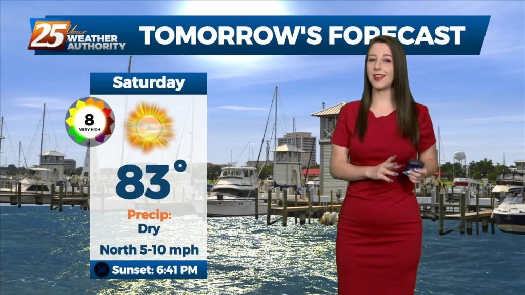
High pressure will hold on one more day on Saturday, with high temperatures pretty similar to Friday. Another disturbance will move across much of the eastern half of…
Tomorrow will likely be drier. The ridge will continue to build over both the southern Plains and Lower MS Valley likely stretching east across most of the southeastern CONUS.…
We can expect the quiet and calm conditions to continue, courtesy of high pressure to our north. Tonight and tomorrow night`s low temperatures will be below normal for most…
This afternoon, high-pressure NE will easily support max temperatures around 90 degrees, with isolated locations approaching mid-90 with the heat index. Low-pressure currently in the western Atlantic will approach…
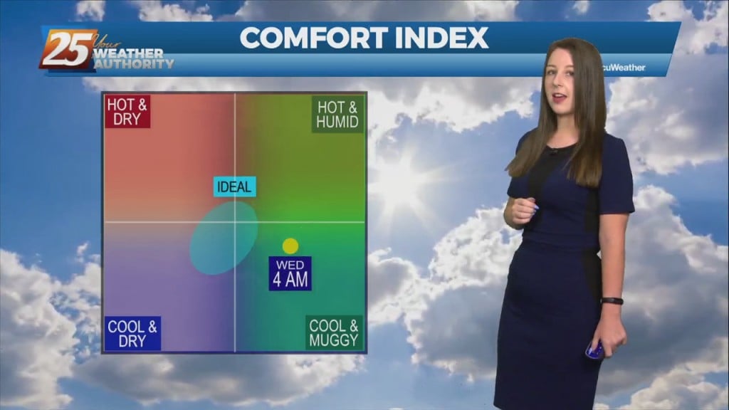
The heat will feel stronger today as moisture levels have clearly risen. The muggy hot feel will show heat index values in the mid-90s. Although, these…
Fog this morning in a few locations and may get dense in those locations around sunrise. But most areas are seeing temps high enough to keep fog…
A much drier trend is already beginning to take hold with less than 20% coverage for showers/t-storms. The upper level weakness continues to hold over the mid-Atlantic and northeast with upper level high-pressure in place over the nation's mid-section. Our…
Warm temperatures this afternoon with upper level clouds moving in...
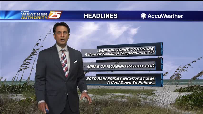
Warmer temperatures this morning with a return to seasonal high temperatures ahead...
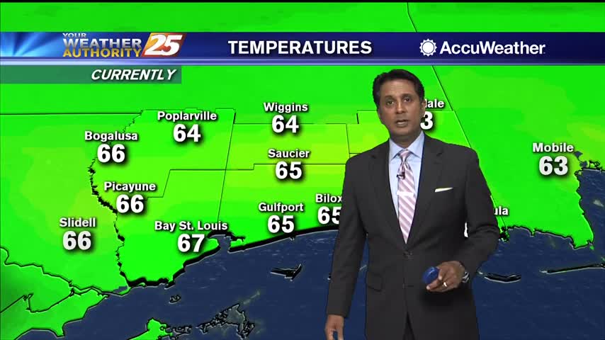
After a CHILLY start to the day, the mercury is warming nicely into the 60s...
The sunny days just keep coming, but thankfully the rain doesn't....

After a warmer start to the day, hot temperatures feel even hotter when we factor in the heat indices...
Warmed slightly today, but we'll see another cool down before it gets too out of control....