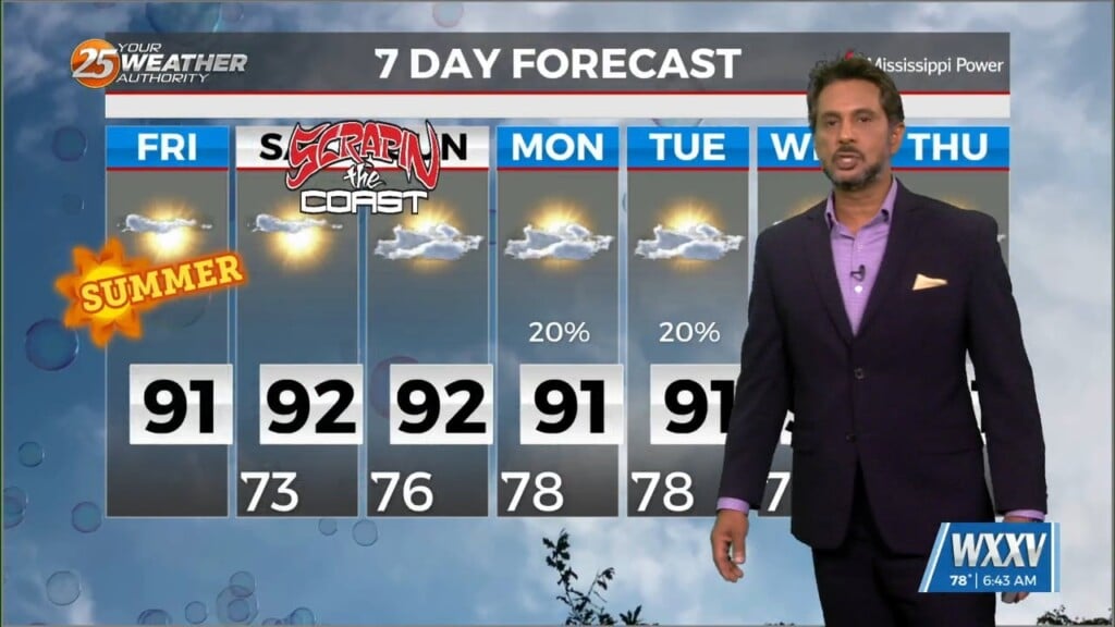
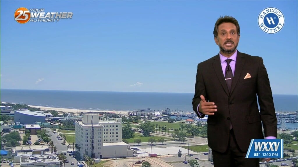
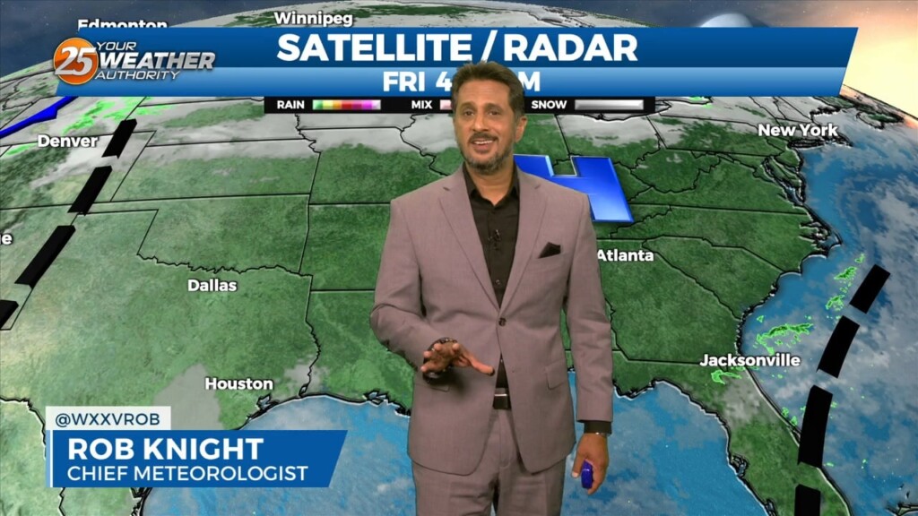
6/21 - The Chief's "Sunny & Hot 1st Weekend of Summer" Friday Morning Forecast
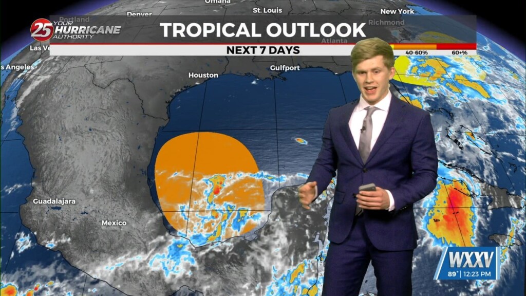
While the low level circulation of former Tropical Storm Alberto dissipated yesterday afternoon, the mid and upper circulation is still evident with…
While the low level circulation of former Tropical Storm Alberto dissipated yesterday afternoon, the mid and upper circulation is still evident with…
Today will bring increasing subsidence through the area as high pressure begins to expand eastward from the southern Plains. Cumulus cloud development can be expected this afternoon…
A drier air mass will continue throughout the column bringing rain chances close to zero. As high pressure moves into the region to shape the forecast…
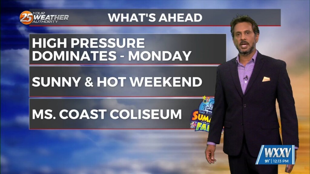
Little change in the ongoing pattern of deep layer high pressure currently in place across the Gulf South is expected through Thursday night. The result will be…
High-pressure and strong dry air in the mid/upper levels of the atmosphere will continue. This will effectively suppress cloud development to below the inversion, and result in…
Today can be best characterized as the transition day across the area/region. High pressure will continue to move downstream over the Mid-Atlantic States through today. As…
Winds will start to come around to southerly today for most of the area. This will help transport some moisture to the area but not enough for…
A relatively benign pattern will continue today before a weak cold front moves through the area. This frontal passage is expected to be dry due to…
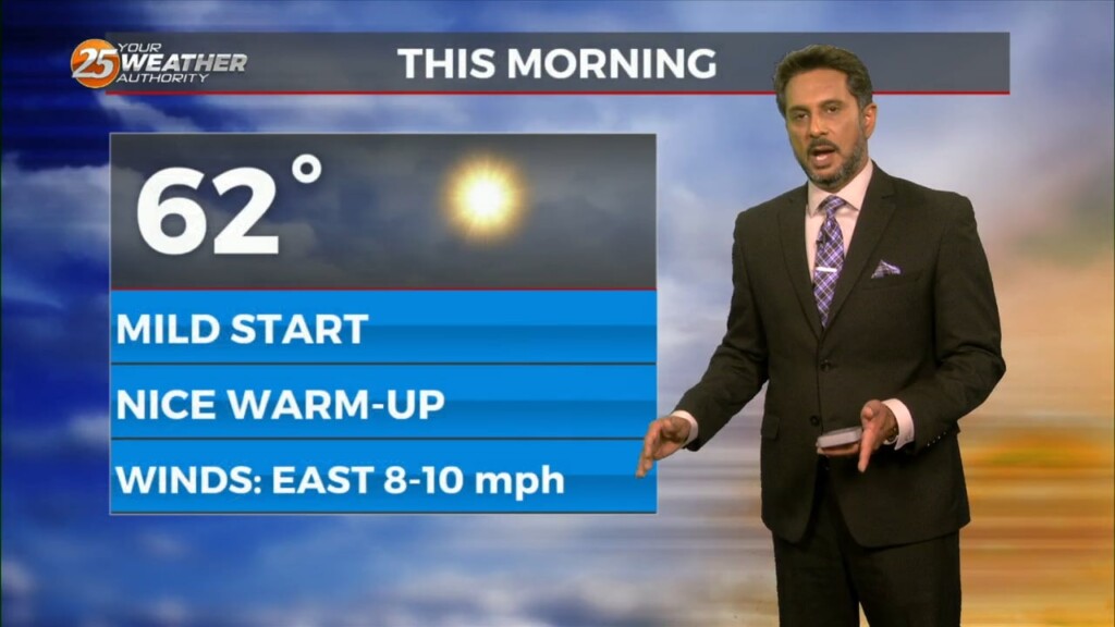
It’s another cool or coldish morning across the forecast area as the air mass has been slowly modifying. In the upper levels, an area of high…
Another day of manageable heat and more in the way of sunshine is in store for the southern six counties. Currently a cold front is to…
A strong upper level low pressure system is currently located over the Ohio Valley and moving into New England is holding some influence interacting with…
Cool temperatures will be present out the door tomorrow. Expect sunny skies through much of the first half of the day until clouds move in…
Gorgeous conditions aided by clear skies and dry air will linger for much of the week. High pressure is in control for much of the eastern two-thirds of the…
The center of a broad upper level disturbance is currently near the Great Lakes with weakness encompassing almost 2/3`s of the country…
With high pressure in control of the region, we won’t see much in the way of moderation through at least through Tuesday as we will basically…
With return flow becoming more established, airmass modification and warming trend will continue tonight with lows a solid 10 to 15 degrees warmer than last night. With low level…
Surface high pressure will continue to shift eastward with onshore winds bringing more humid air into the area from the Gulf of Mexico. Warming trend will continue into Wednesday…
Current surface analysis shows the cold front has moved east of the forecast area and was near Mobile Bay as evident by the veered westerly winds behind it vs…
Rising surface pressures and drier air are providing more pleasant conditions across the area today as the upper low, now over the Carolinas, continues off…
As the frontal system moves offshore, strong high pressure will dominate the upper level pattern. Strong northerly flow will help to advect cold air and dry air into the…
High pressure has shifted eastward and winds have already returned to a southerly direction. Dewpoints have been rising steadily throughout the day especially in western areas where a surface…
The forecast remains mainly unchanged, with heavy rain possibilities and fog potential remaining the focuses of the short term. Today will remain mostly quiet outside of…
The cold front that moved through the CWA early this morning is now well south and moving into the central Gulf of Mexico. Clear skies have developed…
Throughout the rest of the workweek we can expect strong high pressure to be one of the main factors shaping our forecast. It's going to usher in a…