5/3 – The Chief’s “Rain Free Pattern Continues” Wednesday Afternoon Forecast
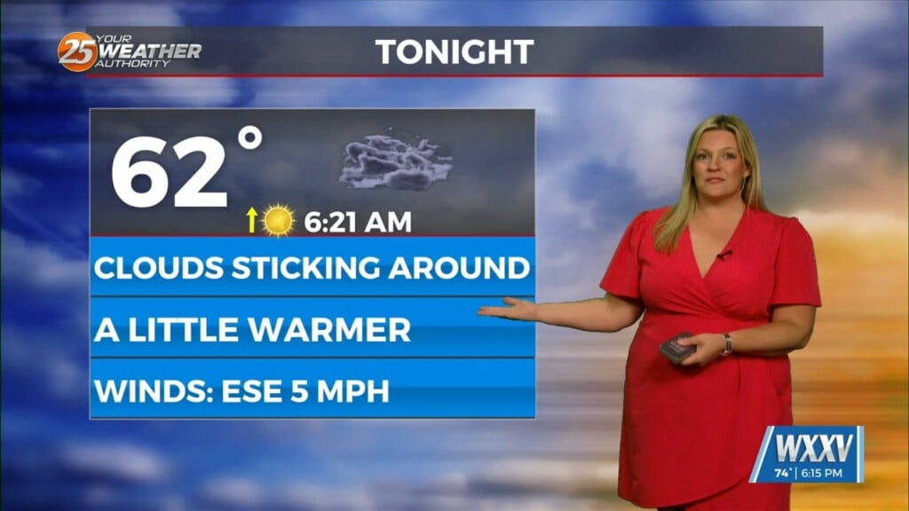
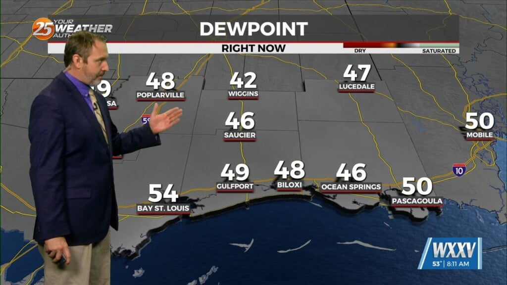
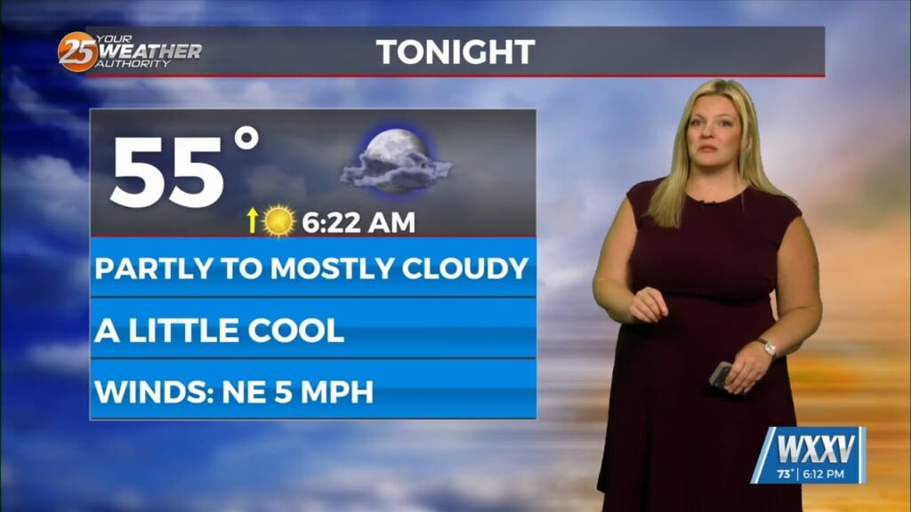
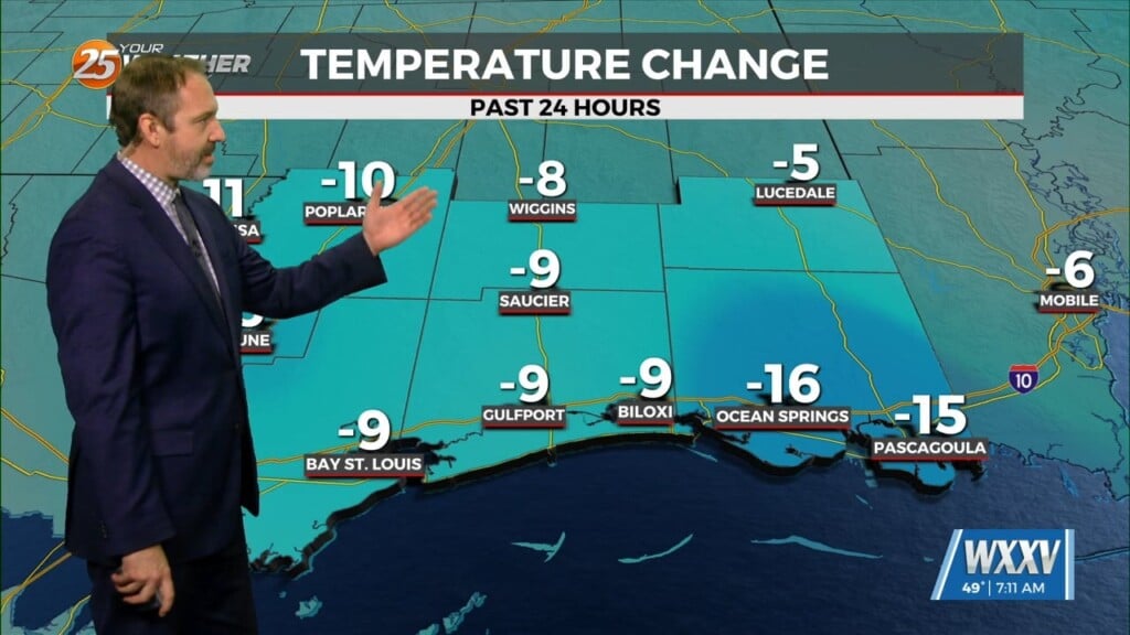
A strong upper level low pressure system is currently located over the Ohio Valley and moving into New England is holding some influence interacting with a strong high pressure system over the Great Plains bringing cooler, drier air via northwesterly flow. Over the next two days the high pressure will continue to dominates and weaken slightly. This will bring an almost zonal flow over the area by the end of the week holding temperatures about where they are and maintaining the dry pattern. Moving into the weekend and early next week the high pressure will intensify in strength a bit while moving slowly eastward. This brings warmer temperatures with the definite possibility of low 90s. There will also a return flow of Gulf moisture that brings periods of rain and thunderstorms each day from Friday through Monday, especially in the northern portions of the area.


