5/1 – Jeff Vorick’s “Rain-Free Start to May” Monday Night Forecast
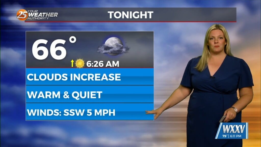
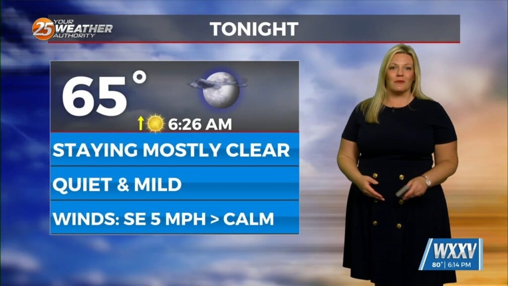
Cool temperatures will be present out the door tomorrow. Expect sunny skies through much of the first half of the day until clouds move in towards the afternoon and evening timeframe. High pressure in a blocking pattern is what’s shaping the forecast for much of this week. Cloud coverage will peak at partly cloudy overnight Tuesday into Wednesday. Temperatures maxing out in the 80s can be expected in the afternoons this week.
The pattern will slowly change towards the latter half of the week. High pressure will gradually shift east of our area by Thursday. This will lead to southerly flow providing for an increase in moisture at the end of the week. Combine this with the potential for multiple disturbances in the picture Friday through the weekend, there will be increasing cloud coverage and rain chances. 30% chances of thunderstorms are in the picture Friday through at least Sunday.


