3/30 – Brittany’s “Beautiful” Thursday Evening Forecast
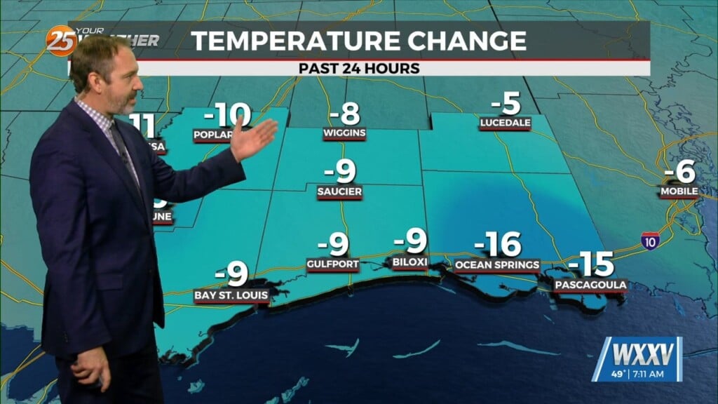
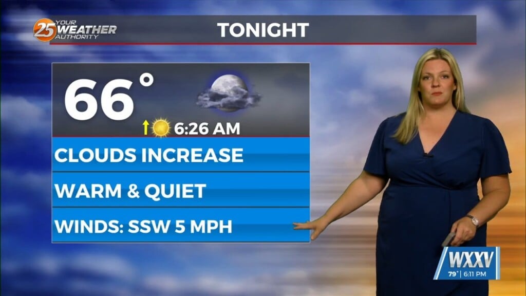
With return flow becoming more established, airmass modification and warming trend will continue tonight with lows a solid 10 to 15 degrees warmer than last night. With low level moisture on the rise, also expect some lower clouds and possibly some patchy fog to develop late tonight toward daybreak.
Tomorrow will be warm and muggier. Clouds will be on the rise, but that won`t stop afternoon highs from rising into the 80s most places with dewpoints rising into the upper 60s and lower70s. The only saving grace to keep it a little more tolerable will be that winds will be a little breezy as the pressure gradient tightens well ahead of an approaching front.
The bulk of the precip associated with the front is expected to remain to the north of the local area. In fact am only carrying 20 to 40 POPs across the northern half of the area Friday night as the weak front drops into the area. Won`t see a big difference in daytime temperatures for Saturday behind the front with highs still forecast to reach the mid 80s, but drier air should start filtering into the area by Saturday afternoon making things slightly more comfortable and allowing temperatures.
The drier air will allow temperatures to fall to only slightly above normal levels Saturday night though. Am currently carrying lows in the mid to upper 50s north and low to mid 60s south. It could cool of a little more than that, and a lot of the MOS guidance does suggest more cooling. However, given the time of year and the fact that it doesn`t currently look like clouds will clear and we`ll be relying more heavily on cold air advection to cool us off, think MOS might be overdoing it a bit. So have stuck a bit closer to the NBM numbers while making small adjustments in the usually cooler spots.


