3/21 – Brittany’s “Spring-Like” Tuesday Evening Forecast
Surface high pressure will continue to shift eastward with onshore winds bringing more humid air into the area from the Gulf of Mexico.
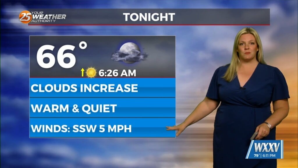
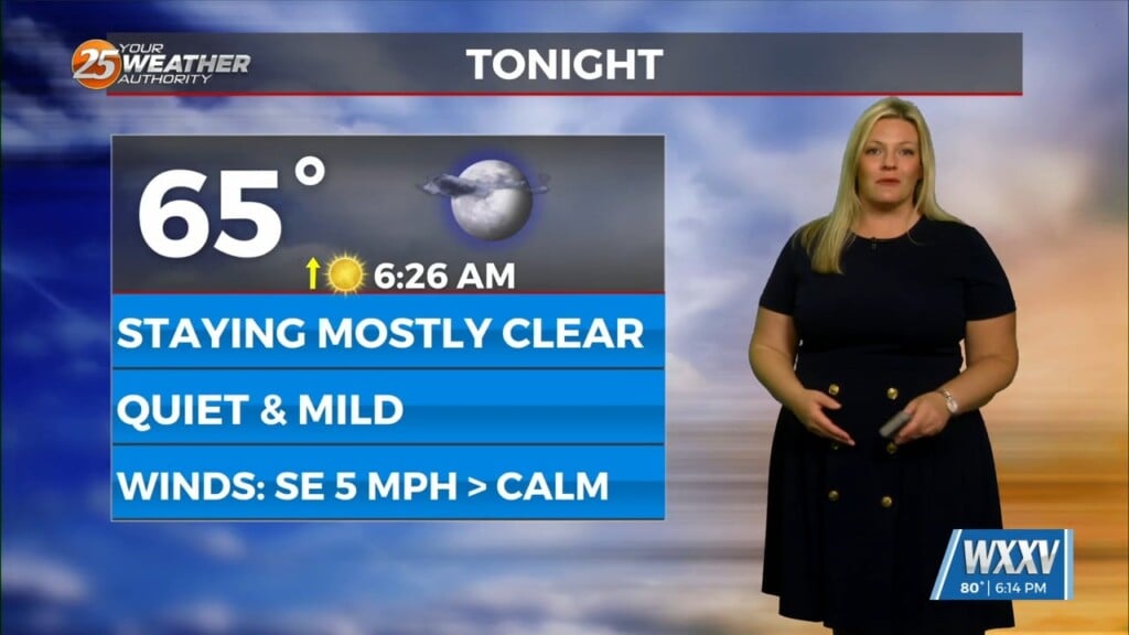
Warming trend will continue into Wednesday and temperatures will be 5-10 degrees above normal in most locations by tomorrow afternoon. Wednesday night will also be mild, with warmer than normal temperatures bottoming out in the upper 50s and lower 60s north and in the low to mid 60s south.
Friday night into Saturday morning, a shortwave system will move through the area. Strong warm air advection ahead of the system will help enhance instability. Weak upper level divergence will help to enhance lifting in the environment. Some strong storms may bepossible, but currently in the models, shear seems fairly weak overall and surface winds are more southwesterly (unfavorable directional shear), but uncertainties abound. It will depend on how far north the best forcing ends up being and whether the system is progressive or slower moving. Saturday the front will stall off the coast and refire Sunday with the warm front. Zonal flow will dominate the upper level pattern. Surface winds will shift northerly Saturday for a brief time, but will return to easterly and southerly by Sunday morning as the warm front moves northward. Looking at the models, Saturday will be fairly dry. Sunday, southerly winds will be allowing moisture and warm air to return to the area. Some weak upper level divergence Sunday afternoon will help promote some lifting in the environment and showers and storms could be possible along the warm front boundary as the system lingers over the area. Some localized flash flooding could be possible depending on the rainfall amounts we receive on Friday/Saturday.


