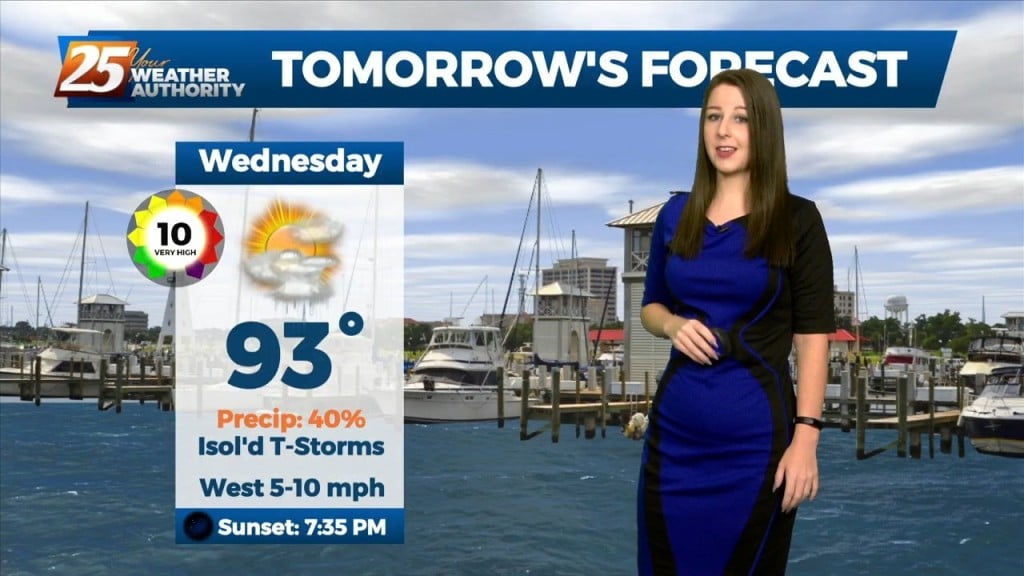
8/17 – Brittany’s “Rain Ahead” Wednesday Afternoon Forecast
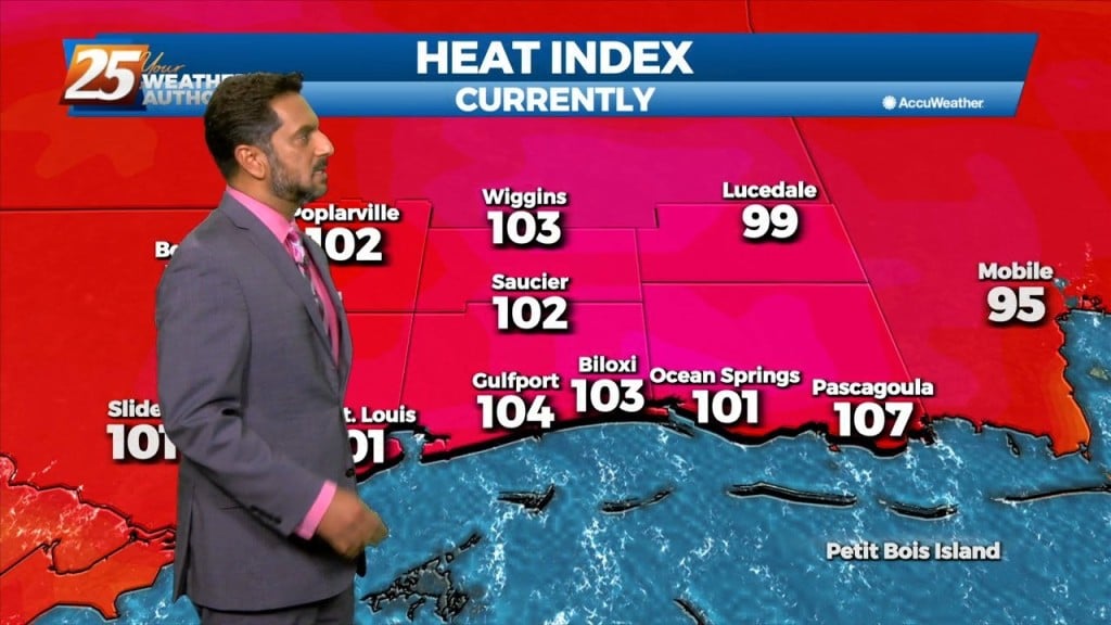
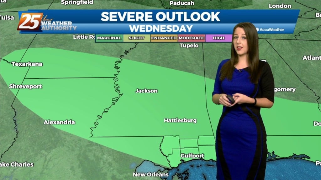
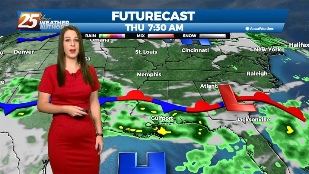
The overall current pattern is fairly interesting across the Lower Mississippi River Valley. A surface “frontal” boundary resides generally along and north of the I20 corridor. As the front (again motivated to move closer to our CWFA thanks to stronger outflow propagation from convection) there will be an enhancement of shower and thunderstorm activity through the remainder of the short…