4/25 - Payton's Thursday Night Forecast
Sunshine headed our way...and a lot of it!
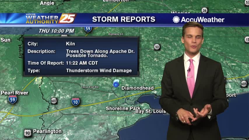
Sunshine headed our way...and a lot of it!
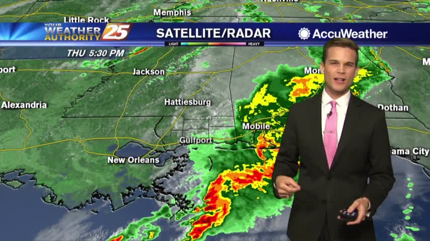
Rain heading out...clear skies heading in!
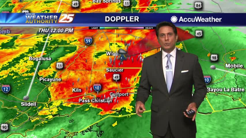
Showers and t-storms continue to move into south Mississippi with a TORNADO WATCH in effect through 3 PM...
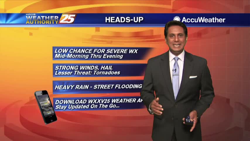
It's a cloudy start this morning as a cold front will move through south Mississippi later today...
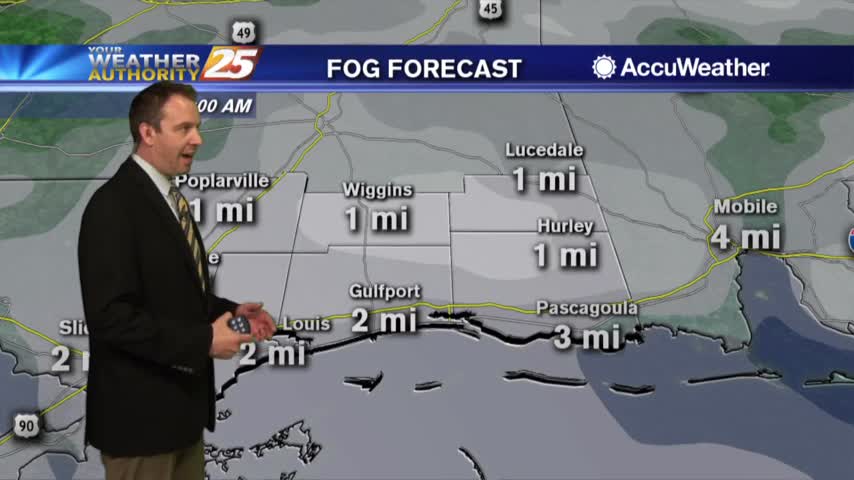
It's been getting progressively warmer and more humid each night, and tomorrow brings storms before sunnier weather returns....
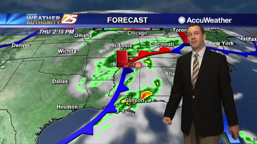
Cloudy again today, but the storms stay away until tomorrow....
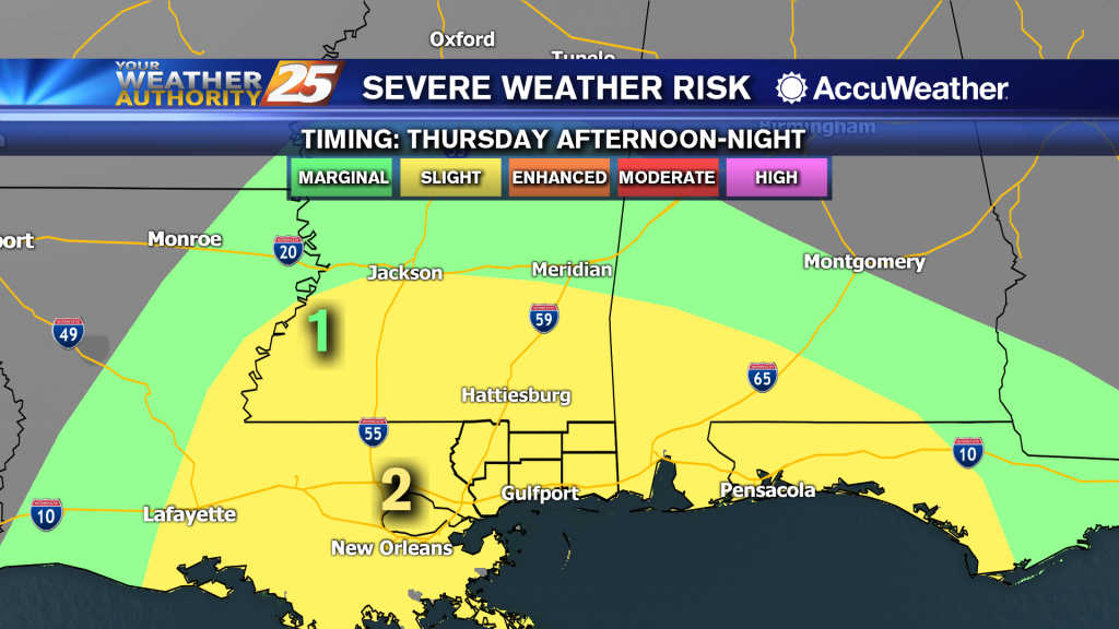
Clouds today...possibly severe t-storms for Thursday.
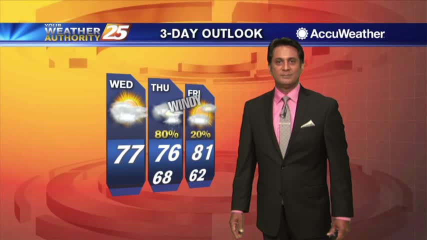
The warmer overnight temperatures and cloud coverage continues with a humid flow through the region...
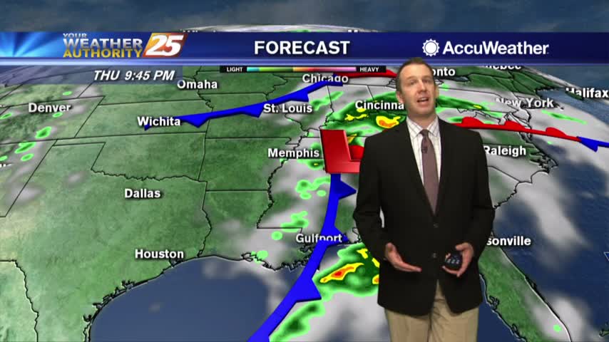
Clouds have moved in and will linger until a front passes Thursday evening, bringing more thunderstorms....
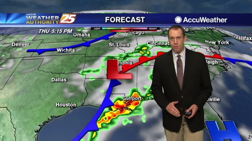
We're seeing more clouds and it's even more humid today, but significant rain is still days away....
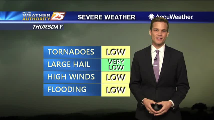
Clouds moving in. Strong T-Storms Possible by Thursday.
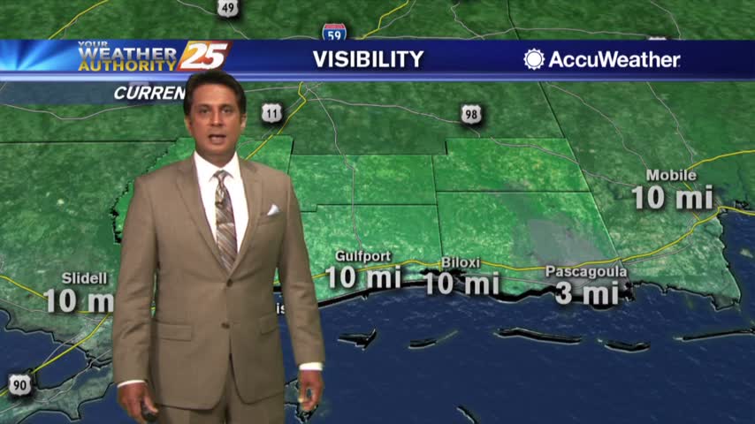
Slightly warmer temps this morning as the upper-level clouds continue to move across the area...
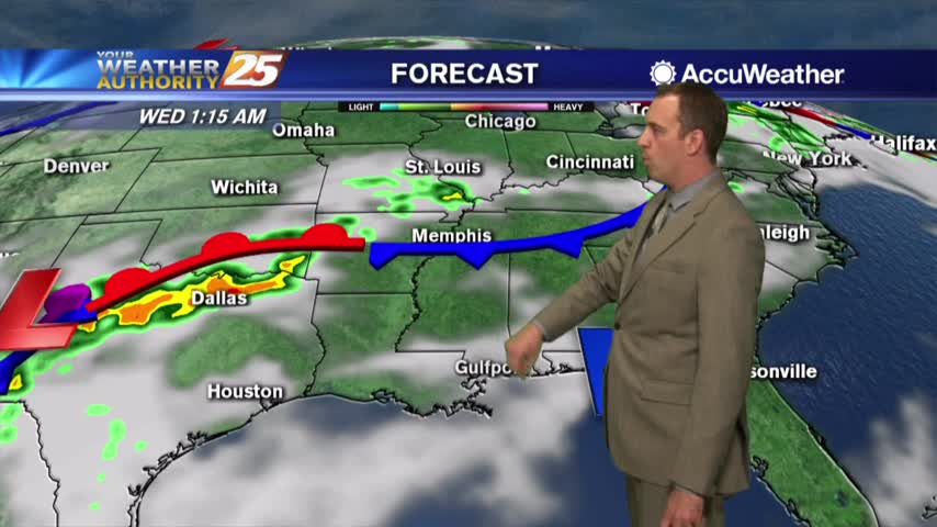
A perfect weekend has given way to some light cloud cover, but rainy weather is still days away....
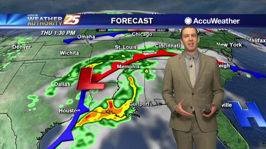
Perfect weather through the weekend continues into today, but we're beginning to see clouds moving in....
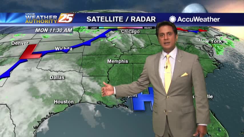
It is Monday but what a LOVELY start to the workweek...
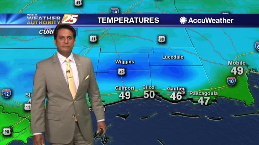
A beautiful but chilly start to the workweek...
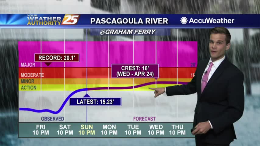
Nice weather continues for a little while longer...rain possible later this week.
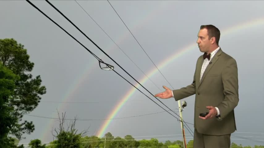
Things have certainly improved after last night's stormy weather, and we're in for a perfect weekend....
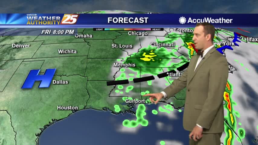
It may be Good Friday, but the weather is looking better than good...it's great!

Clouds continue to linger as wrap-around moisture is still in the area in the wake of last night's system...
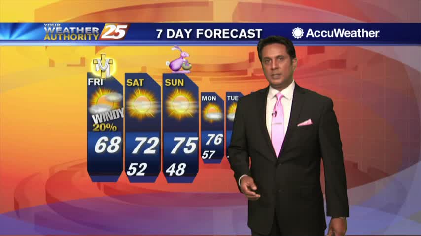
As the front from last night continues to move east, you're heading out the door under mostly cloudy skies...
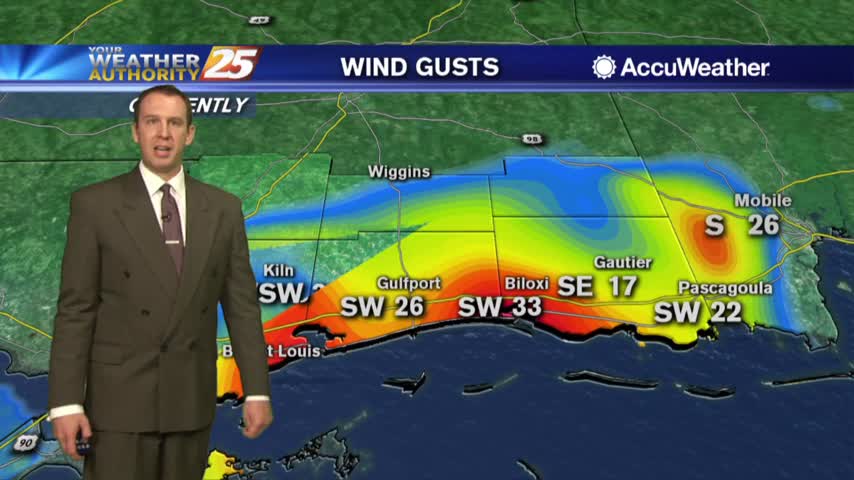
Didn't see too much severe weather in South MS during the event, but showers still linger....
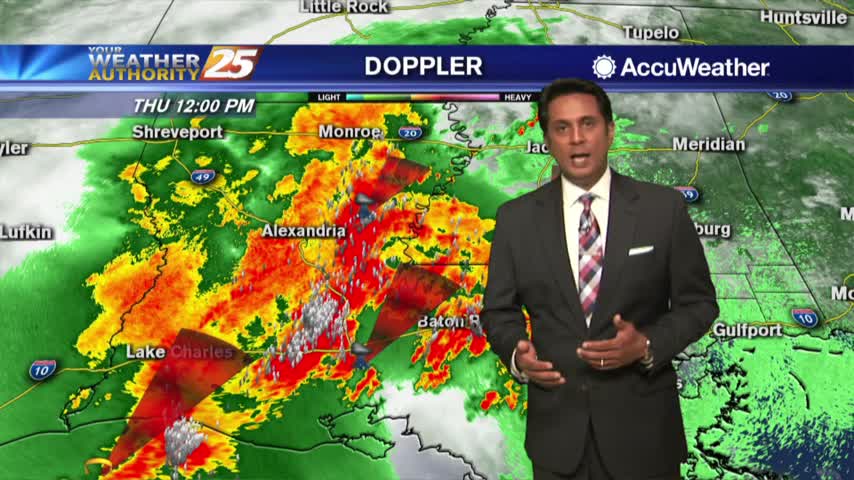
A warm, humid and windy afternoon in advance of an approaching SEVERE THREAT...
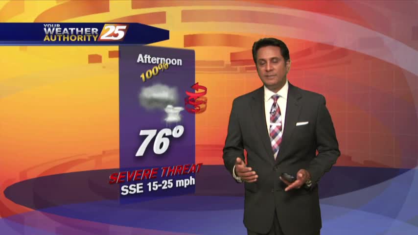
A warm & windy start to the day as the system west continues to move east and develop...