04/17 Ryan's "Pre-Storms" Wednesday Night Forecast
Our quiet period is coming to an end tomorrow as at least an "enhanced" severe threat moves Thursday....
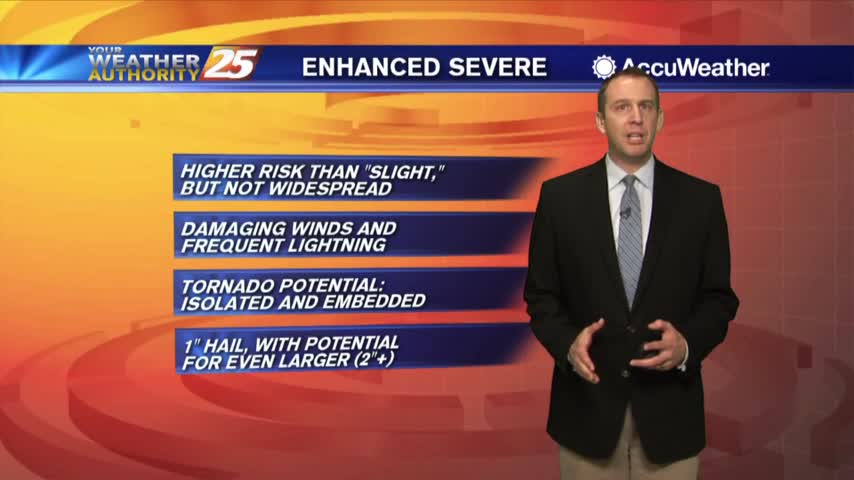
Our quiet period is coming to an end tomorrow as at least an "enhanced" severe threat moves Thursday....
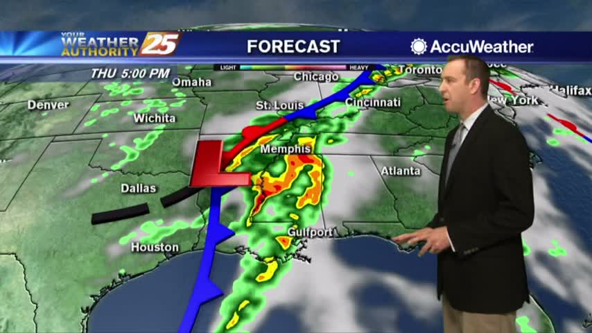
Severe weather is expected tomorrow, but so far tonight is only slightly warmer and more humid....
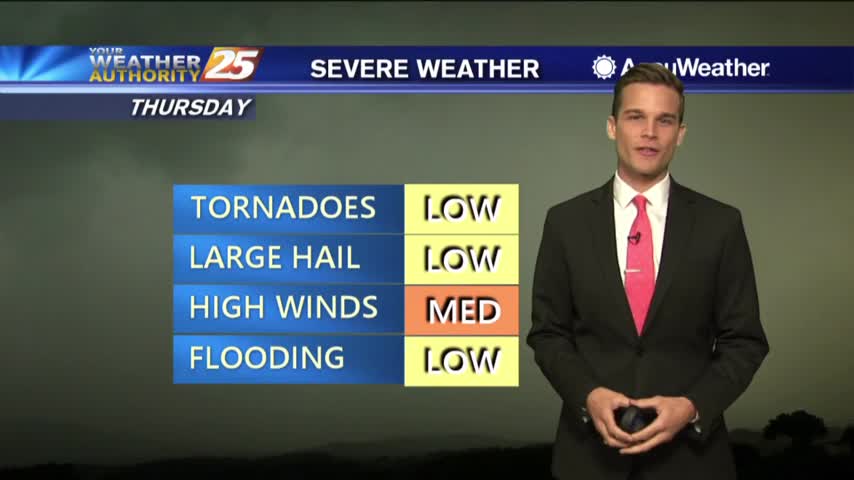
High winds, Isolated tornadoes, heavy rain all possible Thursday.
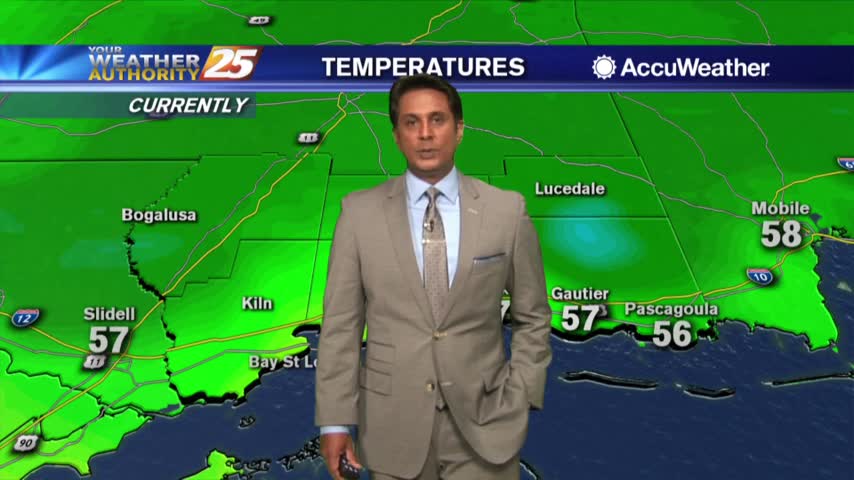
A MUCH warmer start to the day as elevated humidity is flowing in from the SE...
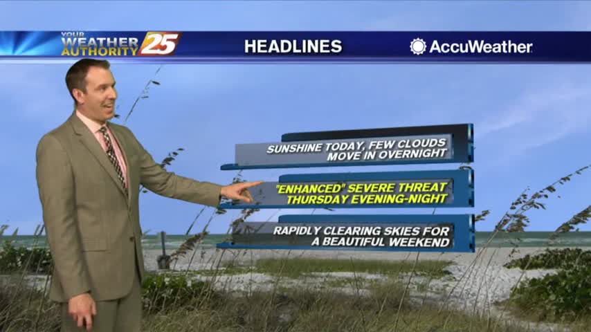
No complaints here about the weather as yet another nice evening is ahead. Clouds will slowly build through the night, but only expect the clouds…rain will stay away for a little longer. Not for long though, rain and even likely…
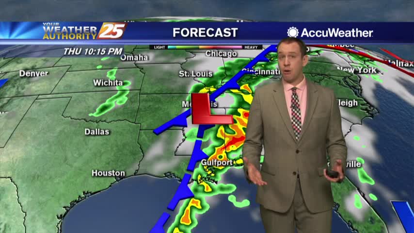
Nice evening ahead despite increasing clouds, but storms move in before the weekend arrives....

Another gorgeous one...severe weather possible by Thursday.
It's another lovely start to the day with subtle changes as high-pressure has moved NE of the area...
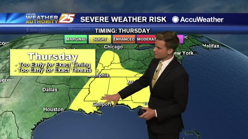
What a great day...t-storms possible by Thursday.
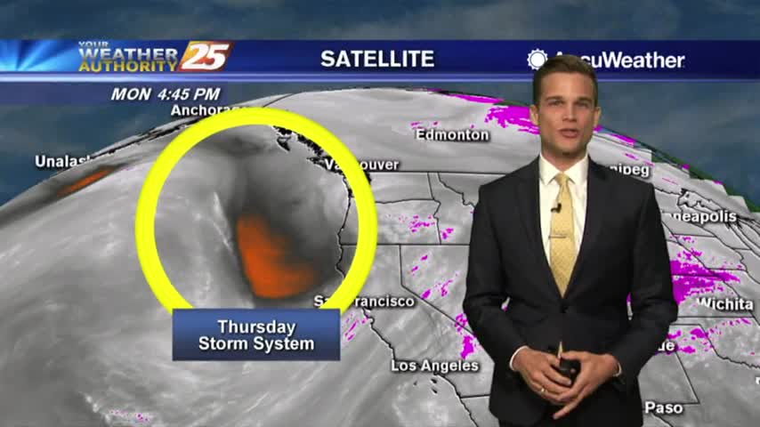
Picture perfect day! T-Storms possible by Thursday.
Temperatures continue to warm under sunny skies...
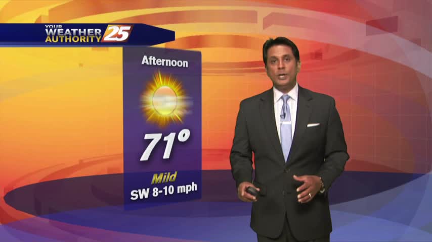
A cooler start to the day with an area of high-pressure to our NW...
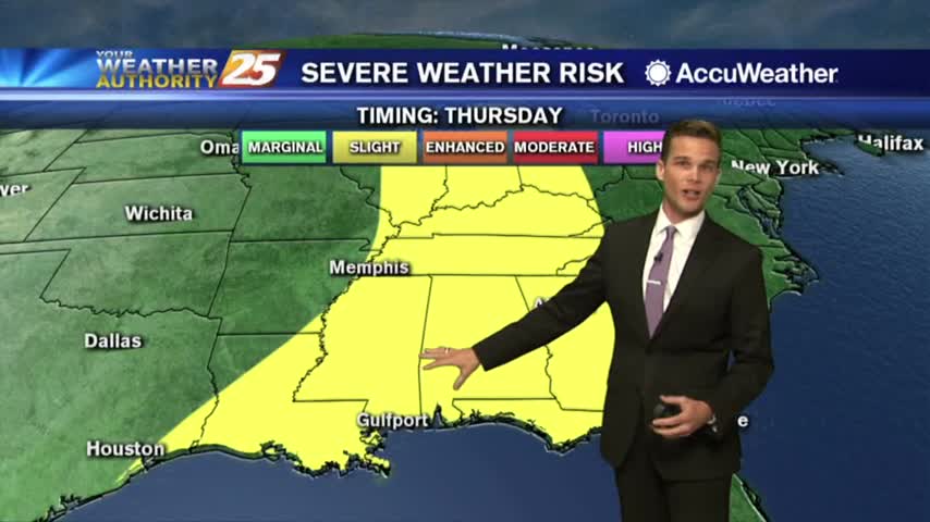
EF-1 Tornado Confirmed in Jackson County....Severe T-Storms Possible Again on Thursday.
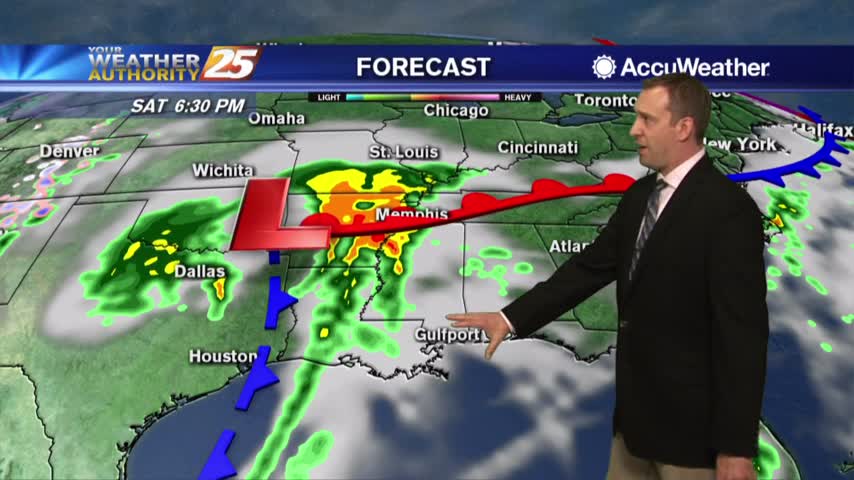
Today's cloud cover increased quite a bit, and potentially severe storms move in overnight tomorrow....
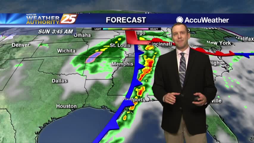
Only clouds so far today, but storms aren't far away....
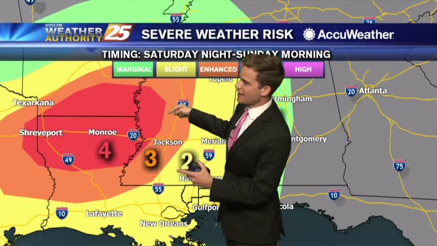
High winds, tornadoes and small hail all possible Saturday Night...more details here.
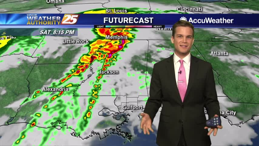
Not bad today or Saturday...T-Storms Saturday Night.
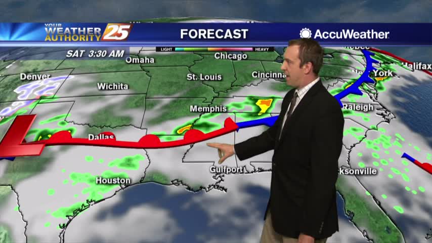
Cloud cover began to increase today, but rain won't move in for a little while longer. Though when it finally does we could see some severe weather....
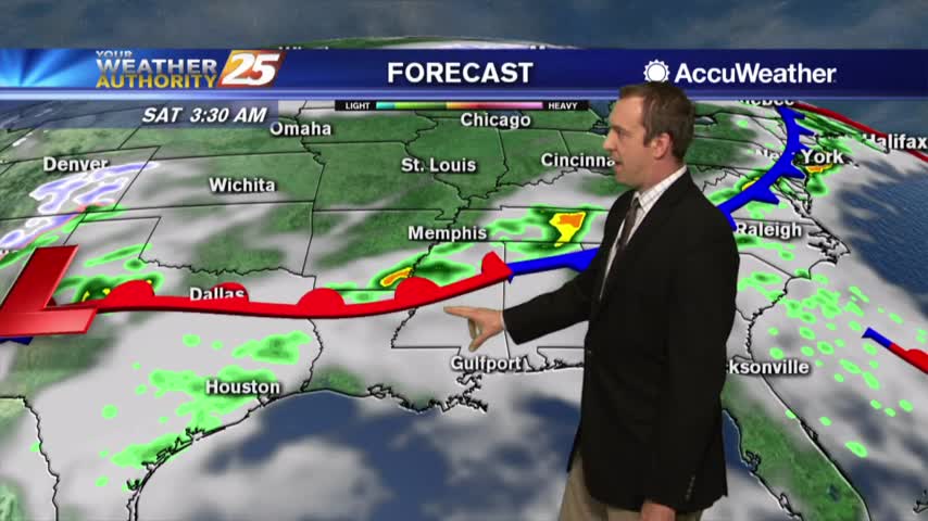
Clouds increased a bit today, but we'll see a big increase tomorrow as a front moves towards South Mississippi....
Another glorious afternoon...clouds return tonight.
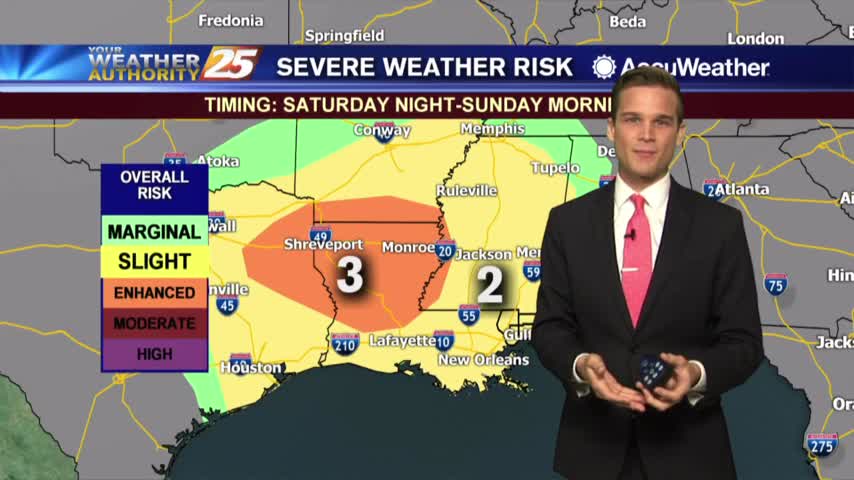
More sunshine today....clouds by tomorrow.
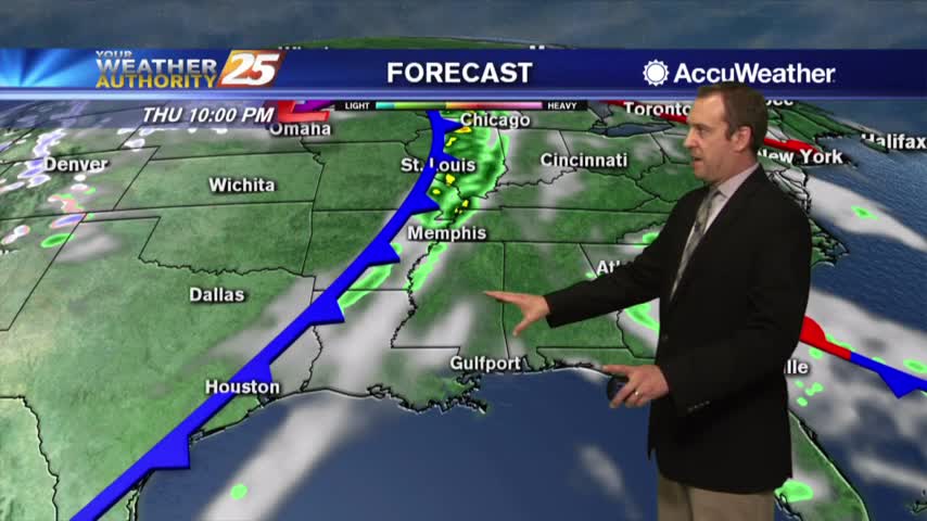
Nice sunny weather continues for the next couple of days, but cloud cover and thunderstorms aren't far away....
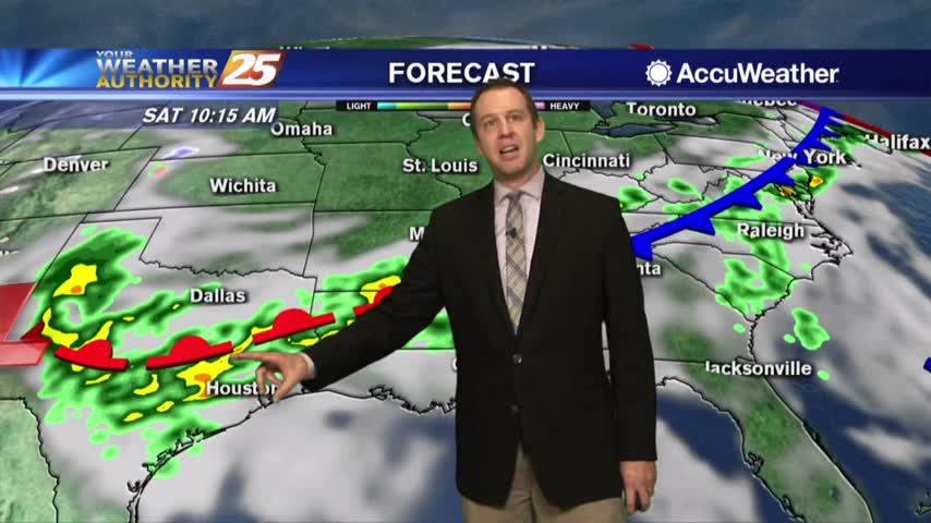
Beautifully sunny days are here to stay for much of the rest of the week, but the weekend isn't looking so bright....
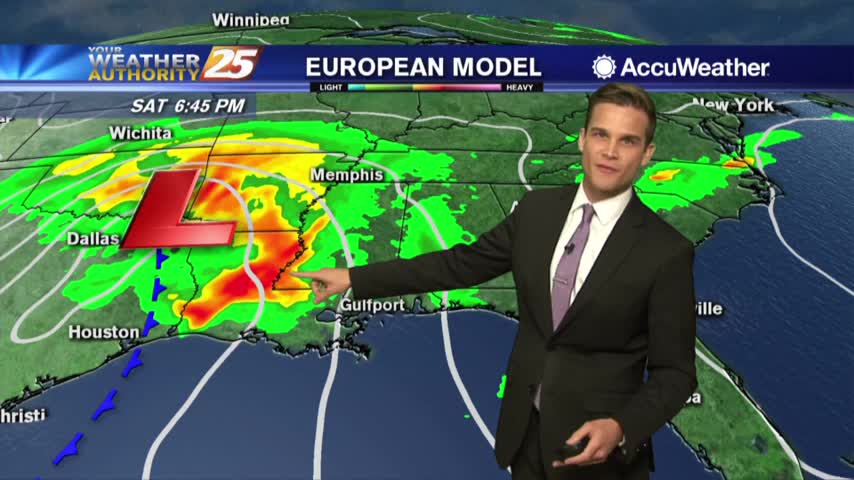
Sunshine continues today...t-storms possible this weekend