07/10 Ryan’s “Tropical” Wednesday Night Forecast
Tropical developments are happening close to home, and we’ll see active weather all week long. Potential Tropical Cyclone Two is just to the Southeast, and as it continues to develop we’ll remain on the eastern fringe.
THAT MEANS WHILE IT COULD BECOME A CATEGORY 1 HURRICANE IN THE DAYS AHEAD, I ONLY EXPECT TO SEE RAINFALL AND SOME BREEZY DAYS IN SOUTH MS.
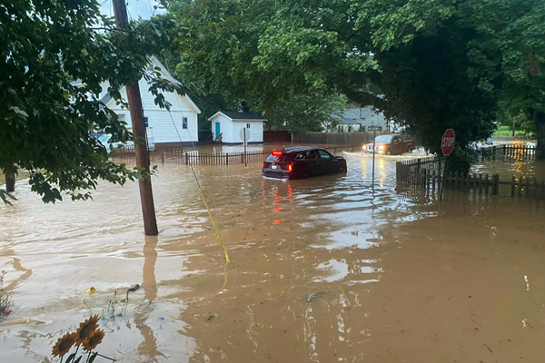
It’s looking like we could see between 6 and 10 inches of rainfall between today and Sunday, which could lead to flooding issues. Flash Flood Watches have already been issued. We’ll continue watching this low’s development, and update as needed in the days ahead. You can follow along with the latest information on your own by downloading or free “Weather Authority” app and using the live, interactive radar and tropical overlay.


Leave a Reply