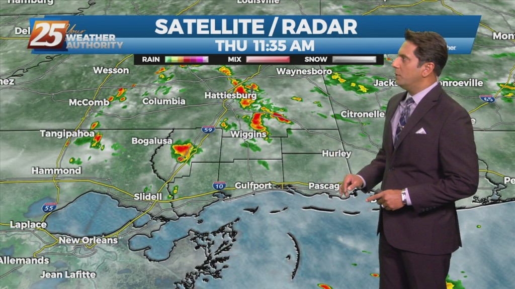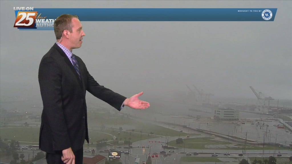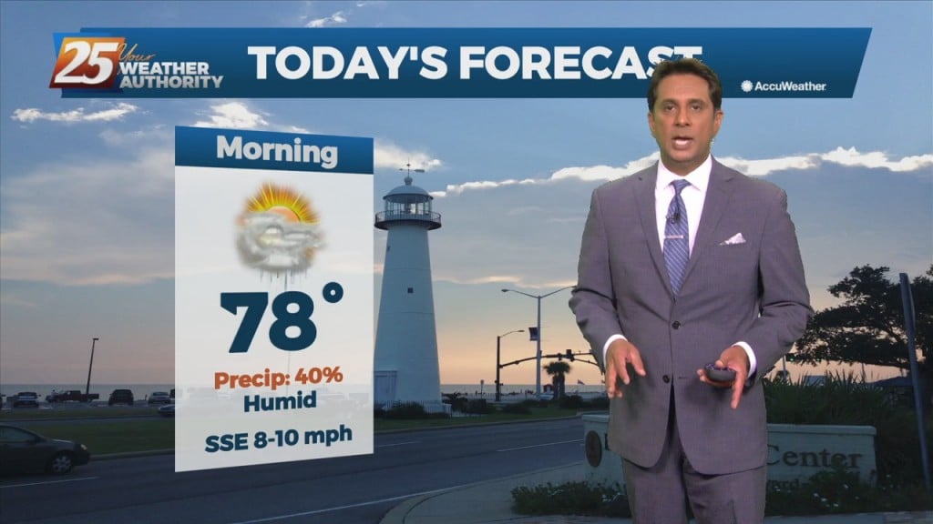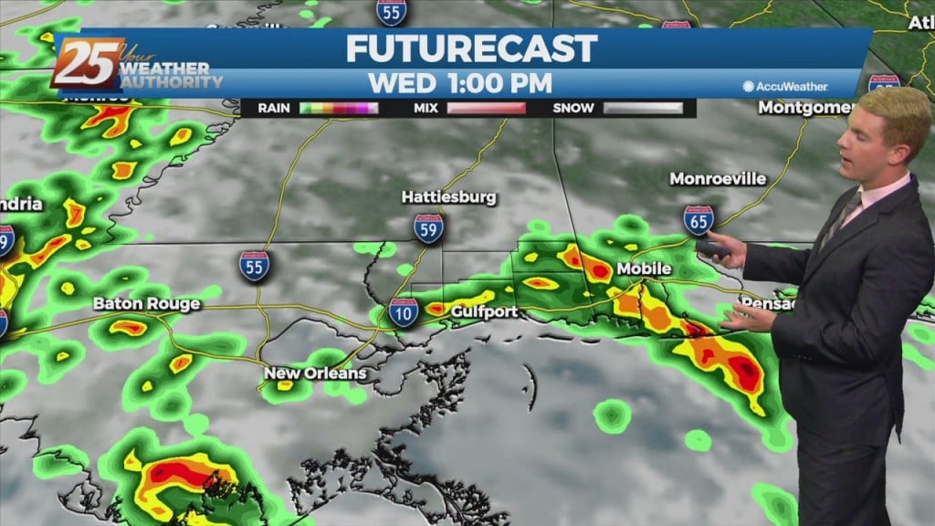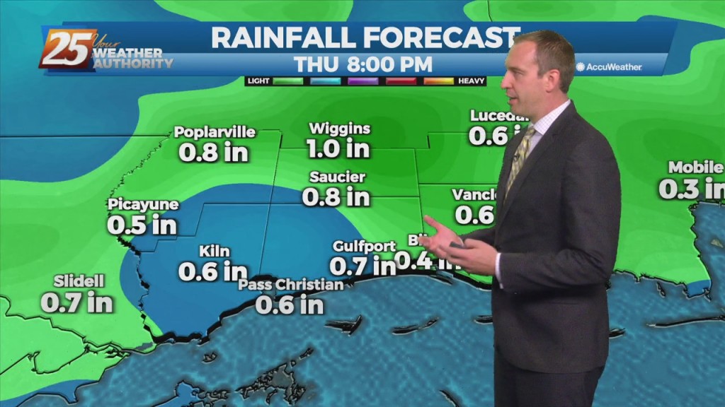
10/05 – Brantly's "Scattered Showers/T-Storms" Tuesday Morning Forecast
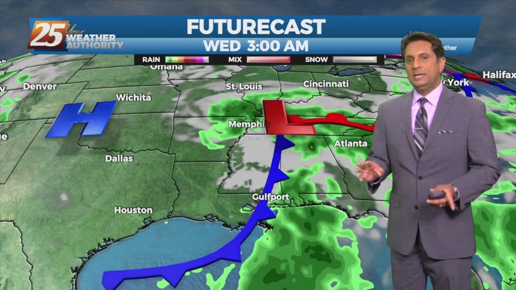
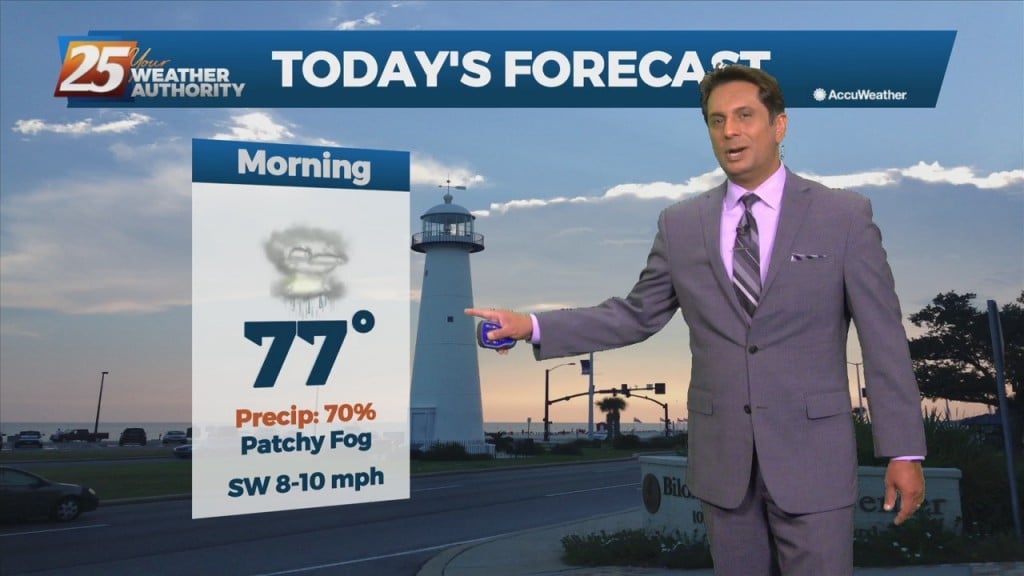
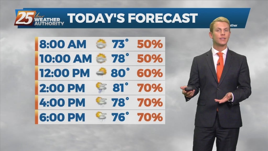
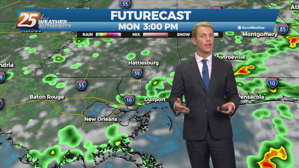
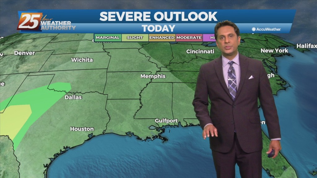
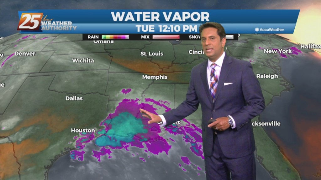
Today, the focus will be more toward rainfall rates and not as much on rainfall totals area wide. Rainfall rates in individual storms could be around 2 to 3 inches per hour today and isolated areas could see 2 to…