Sunny, hot, and mostly dry through the workweek
Meteorologist Sam Lucey has a look at the week ahead
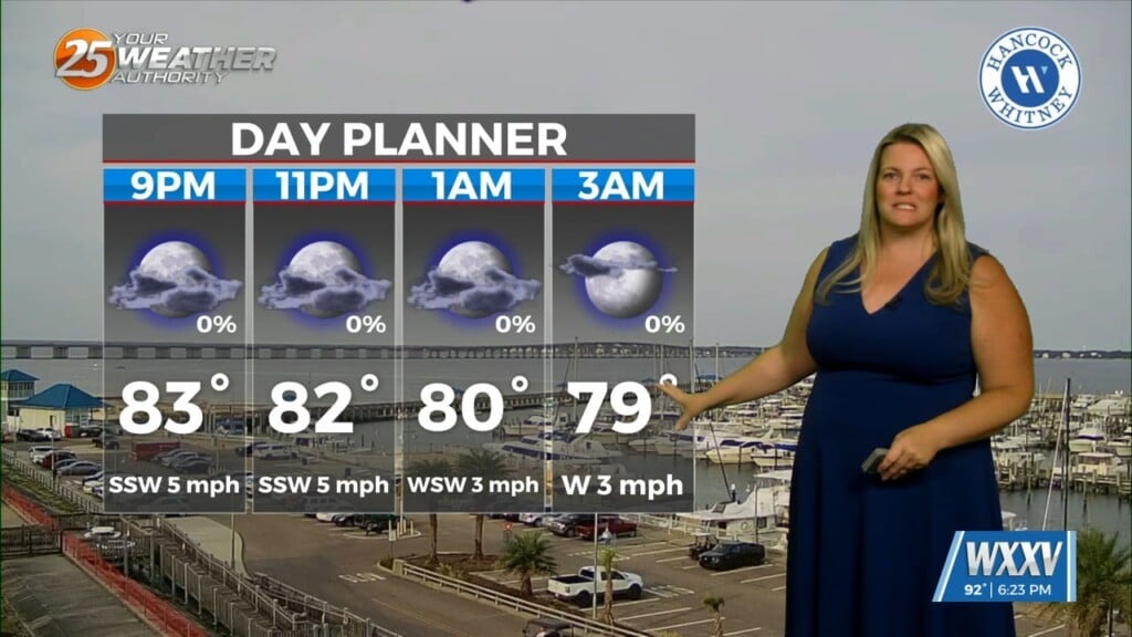
Tonight will be mostly clear with lows only falling into the mid and upper 70s along the coast and low 70s inland. Light southeast winds will become calm overnight, making for a warm but quiet evening.
Wednesday and Thursday look nearly identical, featuring abundant sunshine and afternoon highs in the upper 80s and low 90s. Humidity levels will remain slightly uncomfortable, and heat index values could approach 100 degrees in some locations. Make sure to stay hydrated if spending time outdoors, especially in the late morning or early afternoon.
By Friday, temperatures climb to around 90 degrees along the coast as moisture begins to increase. A few isolated afternoon thunderstorms may develop, though most coastal locations will stay dry. Similar conditions continue through the weekend, with highs in the lower 90s and isolated to scattered afternoon showers and storms.
Looking ahead to early next week, rain chances gradually increase as a more typical summertime pattern returns. Clouds, along with scattered showers and thunderstorms, will become more likely Monday and Tuesday, helping to keep temperatures in the mid to upper 80s.