11/1 - Rob's Improving Thursday Afternoon Forecast
Violent weather from the squall line earlier this morning is now out of the area with clearing skies expected overnight into Friday...
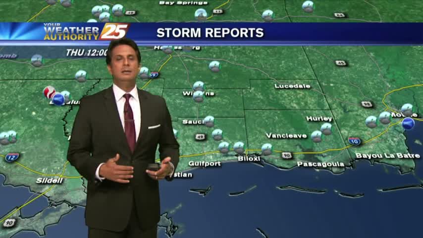
Violent weather from the squall line earlier this morning is now out of the area with clearing skies expected overnight into Friday...
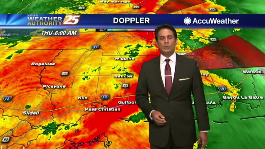
A BUMPY start to the day as a squall line ahead of a cold front is moving into south Mississippi...

After a lovely start to Halloween, things will become quite SPOOKY overnight with the threat for SEVERE WEATHER...

A better start this morning with only light fog along the viewing area...

Dense morning fog has burned off leaving a beautiful afternoon along the Mississippi Gulf coast...
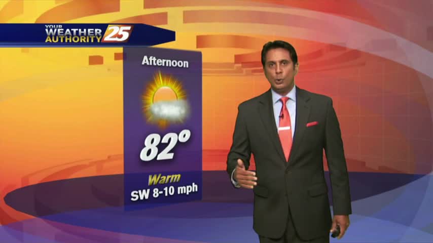
After a chilly weekend, the air mass has begun to modify with warmer temps in the area to kick-off the workweek...
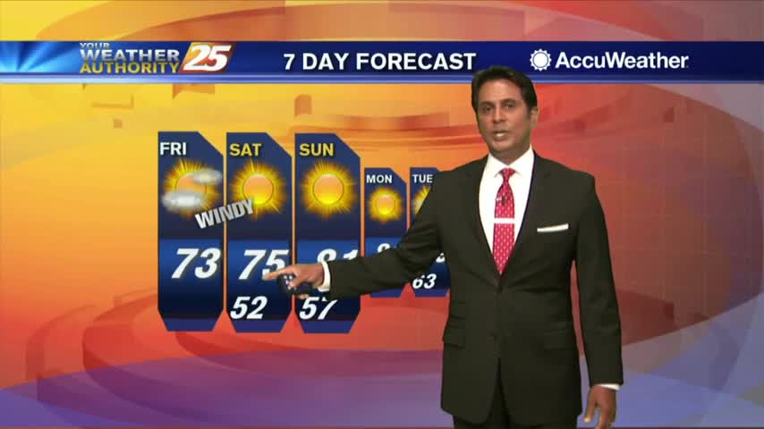
A cloudy start to the day but conditions will improve this afternoon...
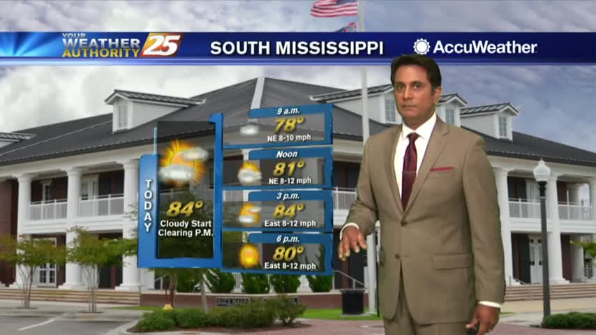
The cold front has moved south, as cloud coverage and areas of patchy fog persist...
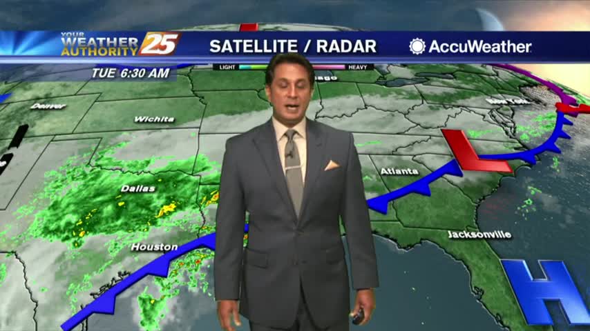
A cold front to our north has brought light rain and patchy dense fog for your morning commute...
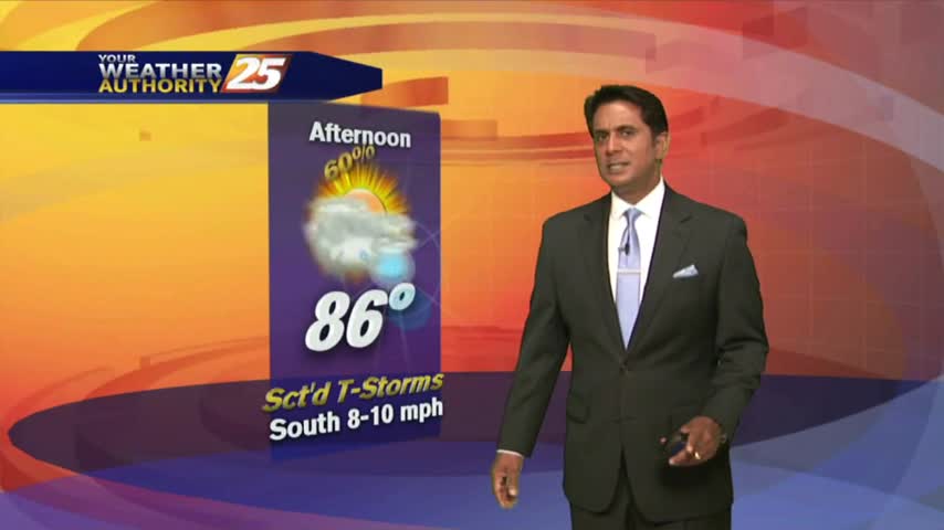
The cooler air mass modified through the weekend with a cold front approaching the region this morning...
A nice start to the day under clear skies with overnight low temps in the low/mid 70s...
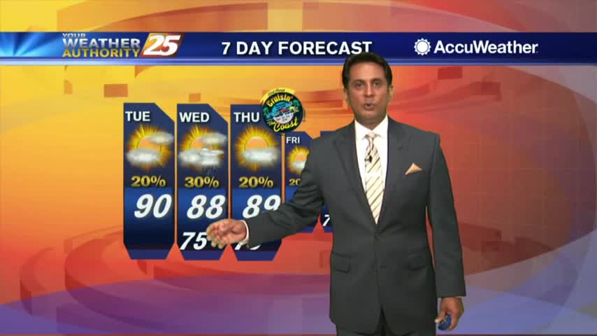
Another WARM/HUMID start as upper-level clouds moving across the area are thinning...
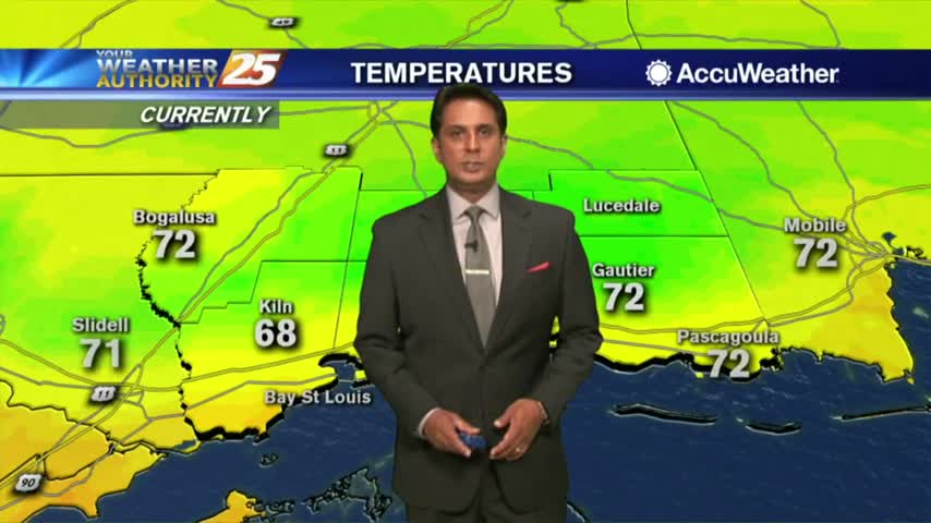
the first day of October is starting off with warm/humid conditions under mostly cloudy skies...
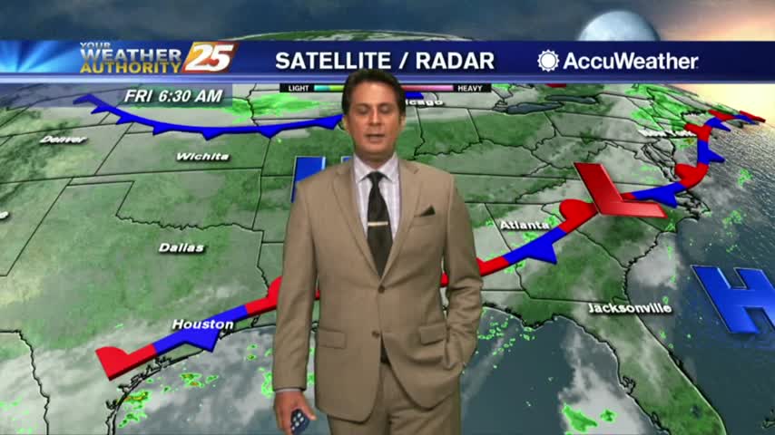
A warm and humid start under mostly cloudy skies and a few light showers moving in from the SW...
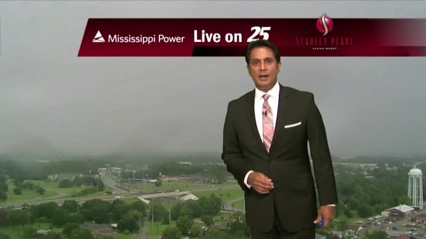
HEAVY RAIN is moving into south Mississippi from the SW...
Only minimal activity this morning but widespread showers/t-storms will develop again today...
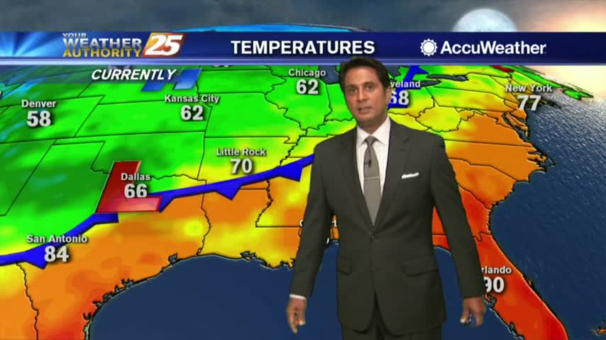
Activity is beginning to redevelop with daytime heating...
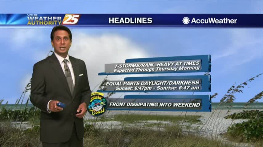
A VERY WET start to the day as a plume of moisture is bringing showers/t-storms with HEAVY RAINFALL and frequent lightning...
Another rainy morning along the viewing area with warm and humid conditions...
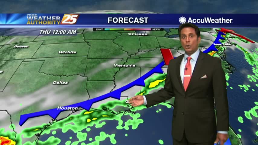
A wet start to the day/workweek with showers moving in from the Gulf of Mexico...
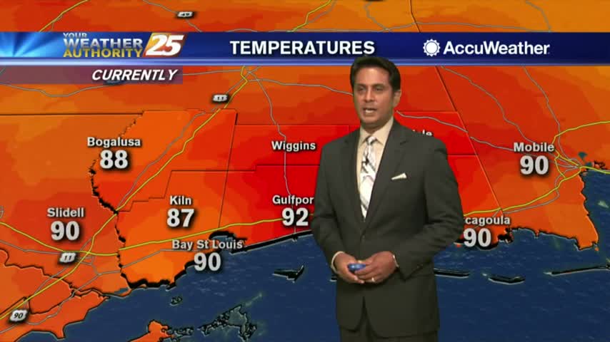
Another HOT afternoon ahead as the heat indices are already in the triple digits...
A warm and humid start to the day with a few light showers moving in from the GOM...
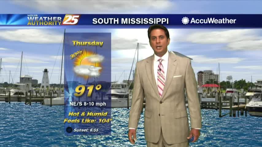
A few showers south of the coast line are dissipating as they move towards the beach...
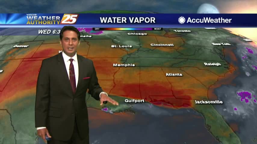
A warm start to the day as a few t-storms in the outer-coastal waters are dissipating...