04/09 Ryan's "Cooler Tonight" Thursday Forecast
It's been downright muggy almost every night this week, but cooler air is finally moving in.
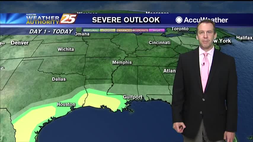
It's been downright muggy almost every night this week, but cooler air is finally moving in.
Hot and humid weather led to some mid 90 heat indices today, but cooler weather is on the way!
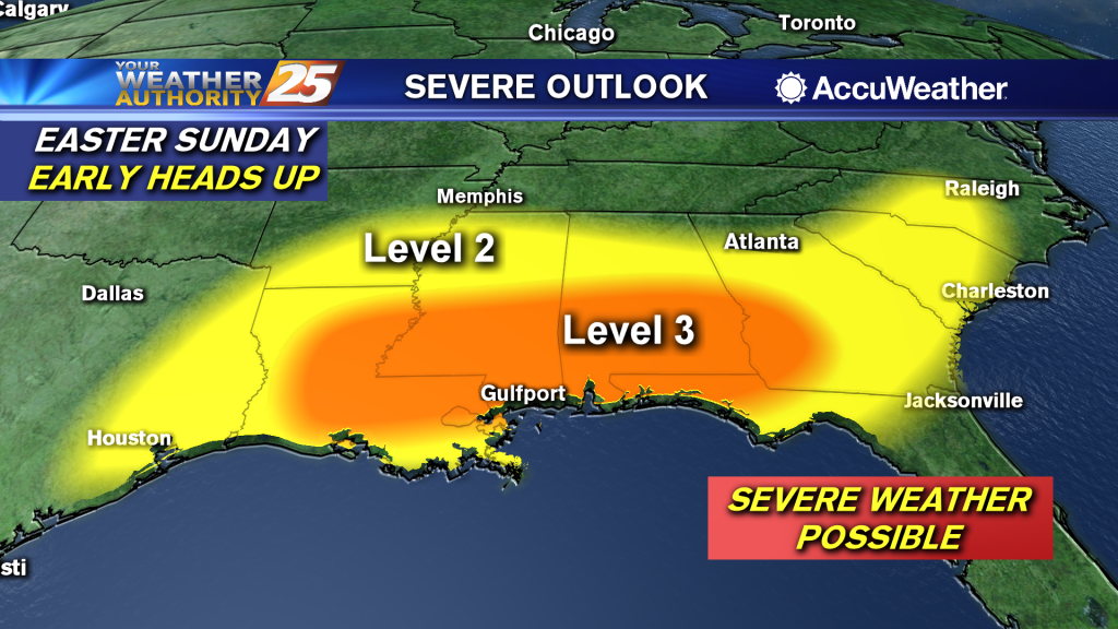
(WXXV) — Going into the weekend, all eyes are on the potential for a severe weather outbreak across the Deep South. The Storm Prediction Center has outlined much of the northern Gulf Coast with an “Enhanced Risk” for severe weather…
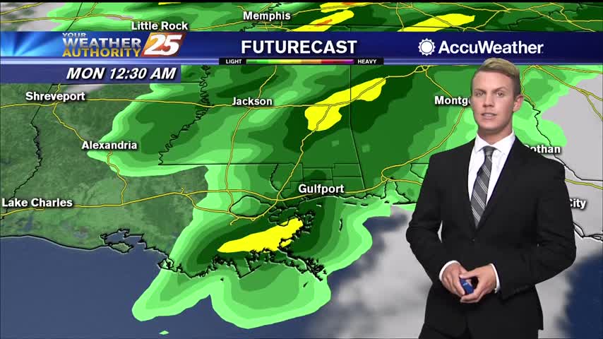
Record warm temperatures are already being felt across South Mississippi! Highs today will top out in the mid to upper 80s, with heat index values making it feel like it is in the lower 90s. Sunshine returns to the Gulf…
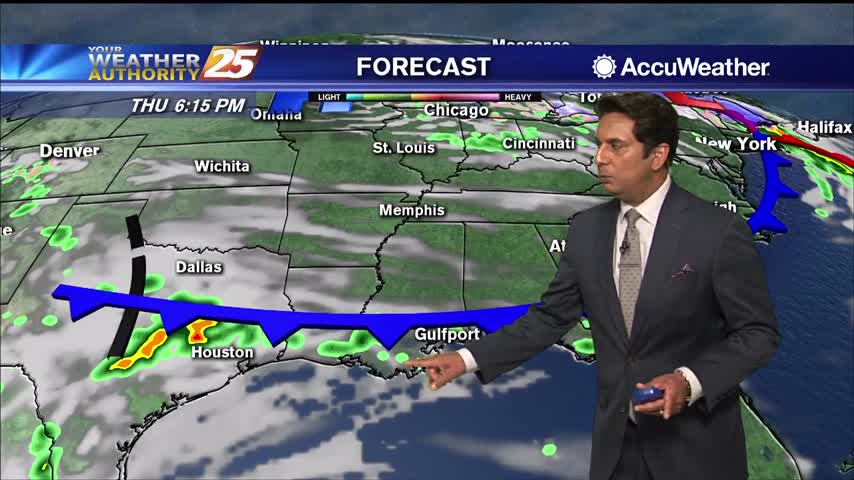
A weak cold front moving south will push through the area this afternoon. Scattered rain will move in post-frontal overnight into Friday morning. At this time, it seems like the front will begin a slow push back to the north…
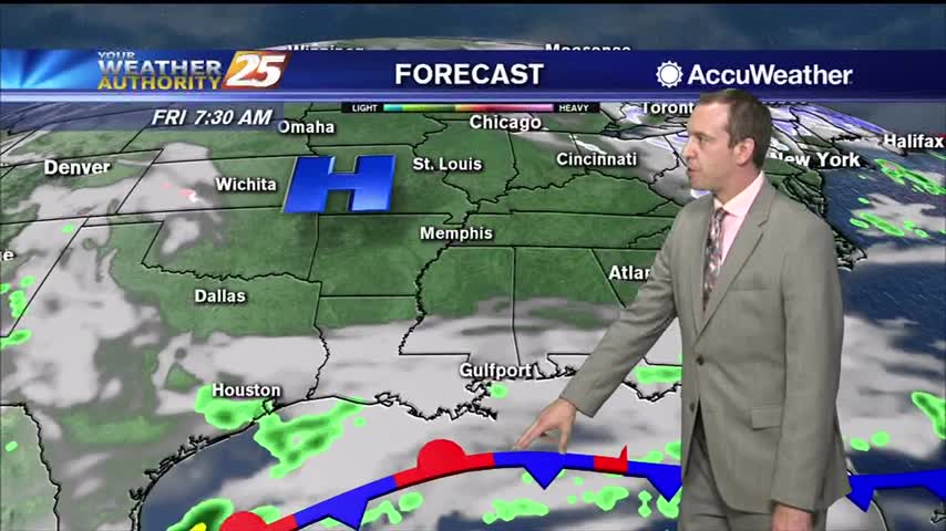
One of the hottest days of the year so far and a very warm night ahead, but cooler...relatively drier air is on the way.
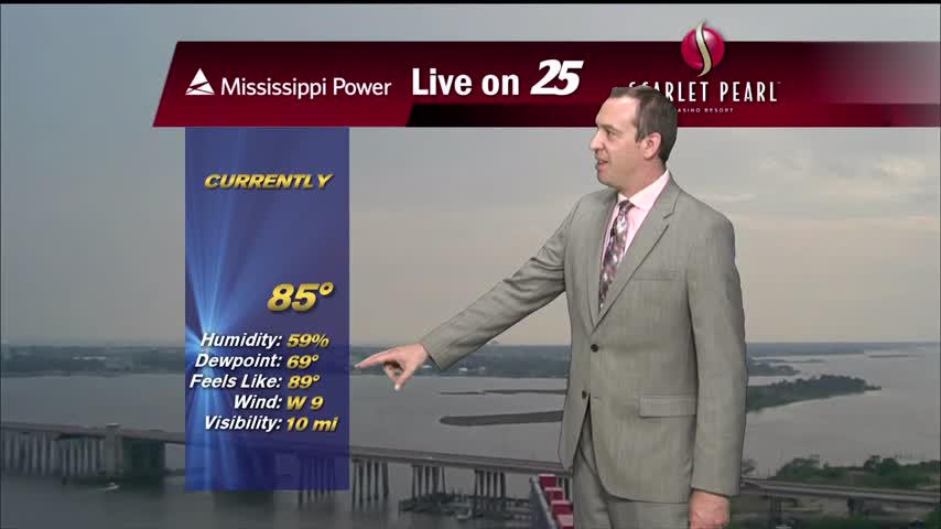
Our highest high in quite some time coupled with today's humidity lead to some scary looking heat indices today, but cooler weather is on the way...just looks like it'll be stormy too.
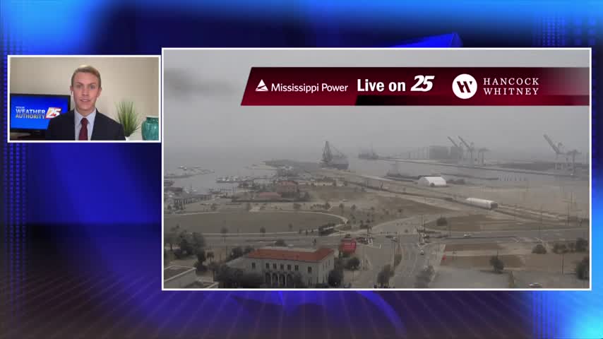
Fog from this morning has dissipated and we are left with cloudy skies for the first part of the afternoon. Overcast conditions should give way to partly sunny skies by late afternoon or early evening. High temperatures will top out…
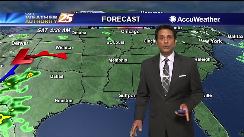
High pressure will maintain its hold over the northeastern Gulf of Mexico throughout today before a cold front advances towards the region by early Thursday morning. While some isolated, light showers are possible this morning, most areas will stay dry. Also…
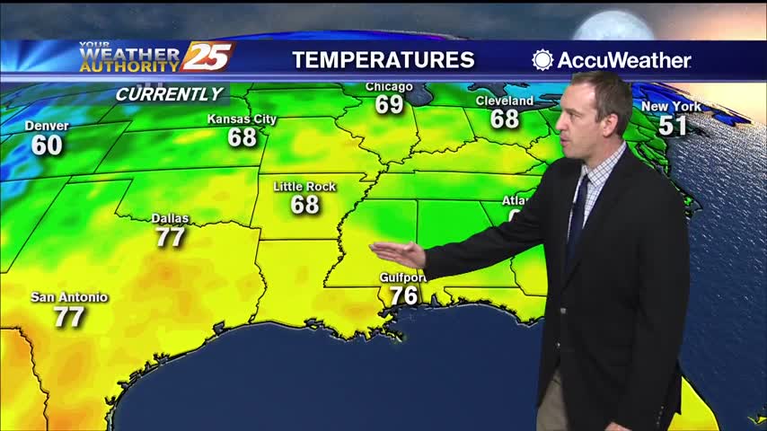
More warm, low visibility conditions moving in tonight with very little change in the days ahead.
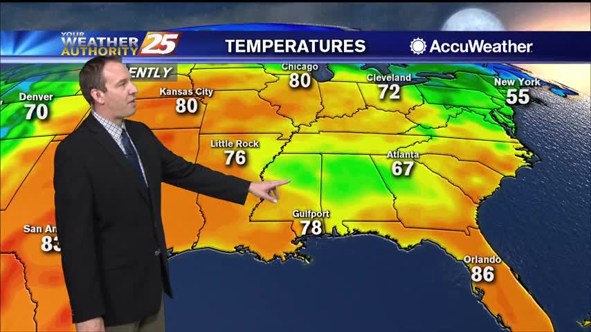
More warm and humid conditions tonight, so expect more clouds and another round of patchy fog.
Cloudy skies will continue through the afternoon with a chance for showers and thunderstorms through the early evening hours. Temperatures today and Wednesday will remain well above-normal. One thing worthy of noting is with the surge in moisture along with…
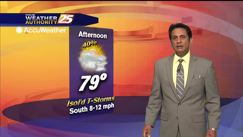
Current overview of the weather maps this morning illustrates the northern Gulf coast under the control of southerly/Gulf moisture return flow west of a surface high anchored offshore of NE Florida in the Atlantic and a weak Warm front across…
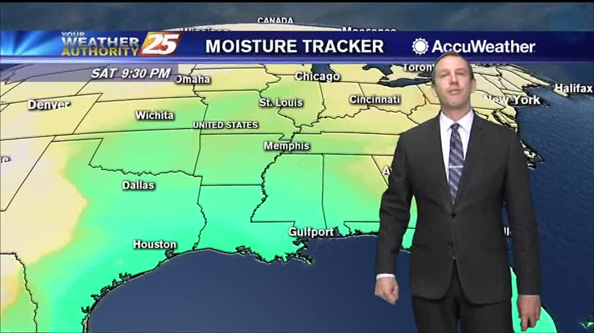
Light southerly winds throughout the weekend have increased the humidity, so get ready for a mild and muggy evening.
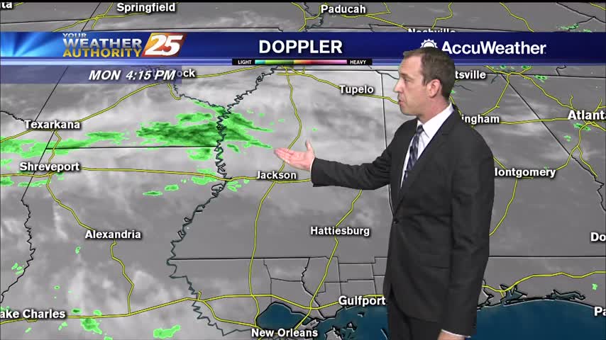
Much more humid than how we finished off last week, so expect warmer, foggy nights in the short term.
For the rest of Monday, expect sunshine with a few clouds passing through with partly cloudy skies by the evening. High temperatures should top out in the upper 70s to the lower 80s. Similar temperatures are expected Tuesday. Beginning Tuesday,…
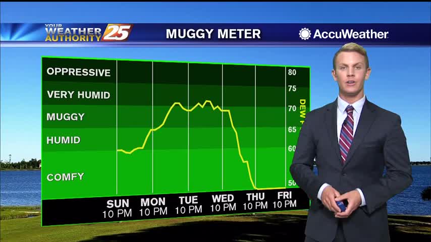
Skies will remain mostly clear overnight through Monday morning as high pressure sits over the Gulf Coast. Light southerly winds may allow for some light patchy fog to develop by sunrise. Temperatures should drop to the lower 60s on the…
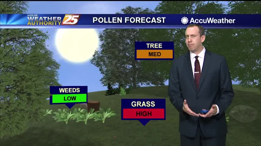
It's still feeling nice and dry out there, but much warmer and more humid moving forward.
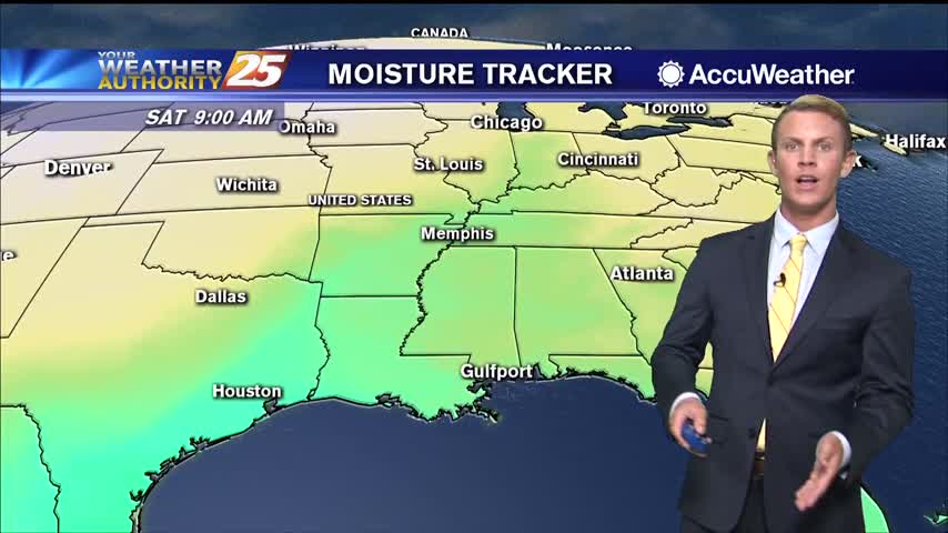
High temperatures today will be in the upper 70s to lower 80s. Lows tonight will be in the mid 50s inland, with upper 50s to around 60 degrees closer to the coast. Highs on Saturday will be warmer, in the…
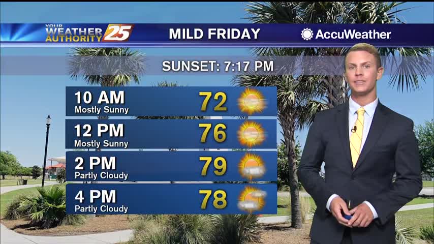
A surface ridge of high pressure extending from the Great Lakes southward across the Tennessee Valley and southeastern U.S. will slowly shift toward the east coast through Saturday. A broad upper ridge remains over the region during the period and…
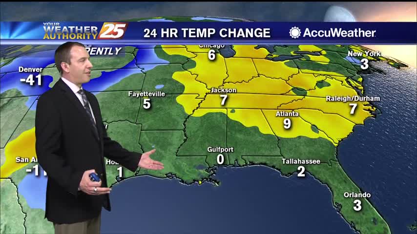
Still cooler and drier compared to the last few weeks, but we'll keep warming through the weekend as a cold front moves in.
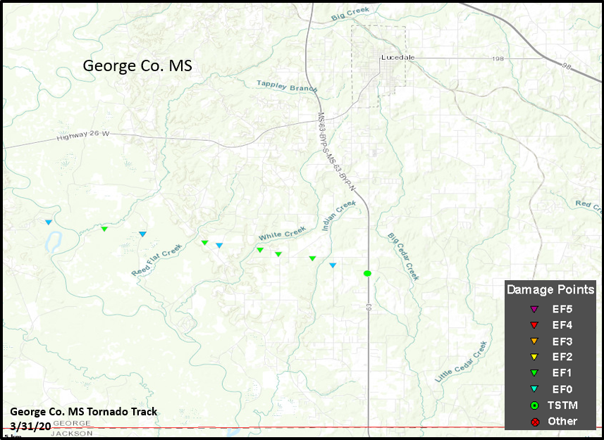
GEORGE COUNTY, Miss. (WXXV) — The National Weather Service has completed their survey of damage from Tuesday's tornado in George County. Their report says the tornado was rated an EF-1. According to the report, the tornado formed just west of…
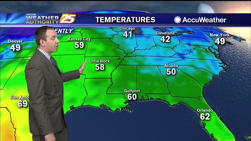
Another chilly night and still much drier than we've seen in recent weeks, but warmer, more humid air will continue to move in.
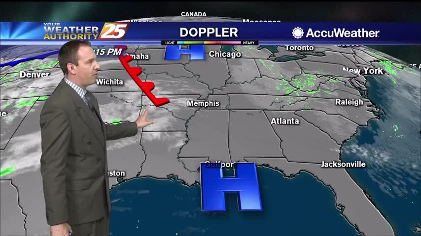
A practically perfect spring day in South MS, and not much will change in the days ahead...but cloud cover and rain isn't too far away.