10/02 Ryan's "Fall" Friday Night Forecast
Practically perfect fall weather expected over the weekend, with little change other than warming for much of next week.
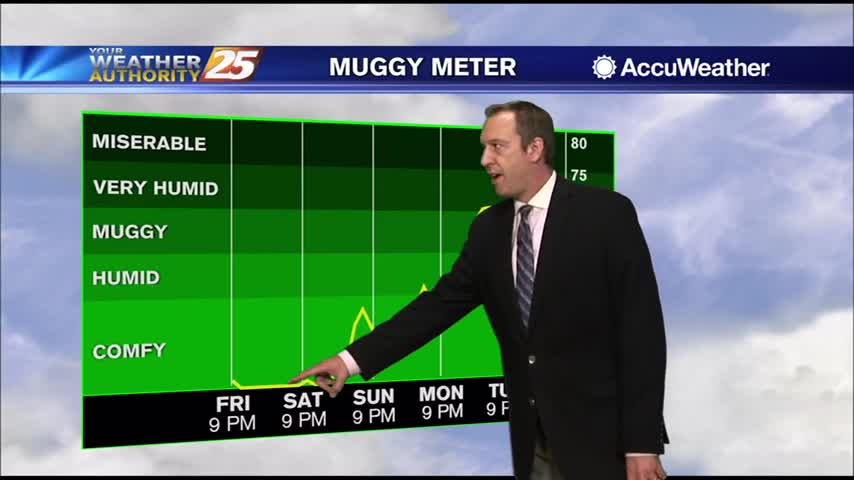
Practically perfect fall weather expected over the weekend, with little change other than warming for much of next week.
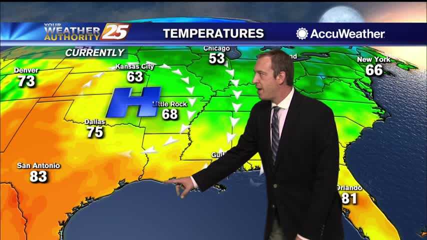
Yesterday's front brought true fall weather to South MS just in time for the weekend!

Nice fall afternoon ahead, which will linger though the weekend and into next week.
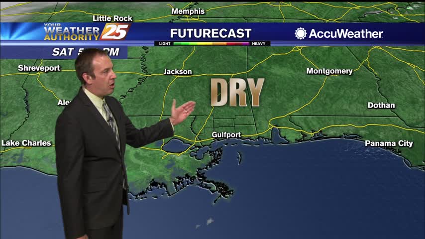
October is here and a weak front is bringing some appropriately fall-like weather for the weekend and most of next week.
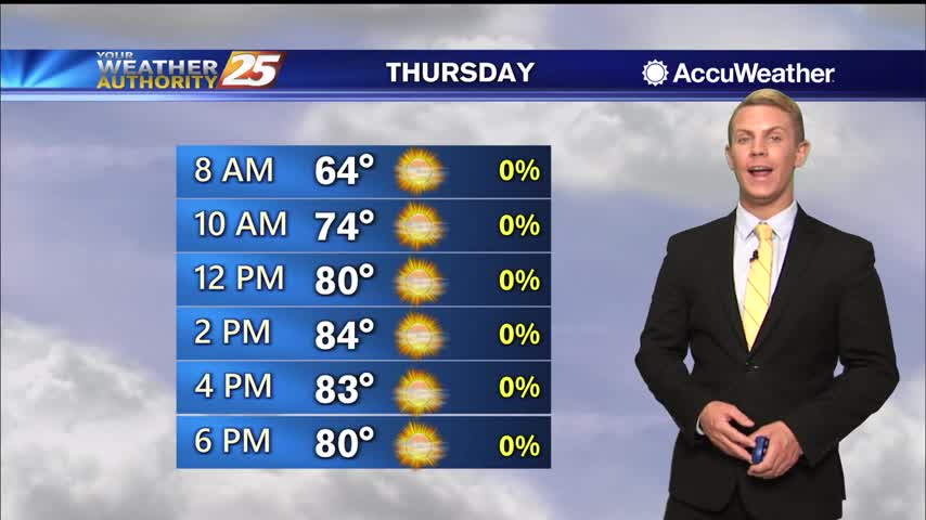
Lots of sunshine expected once again today along the Gulf Coast with just a few clouds passing through. It will be just a little bit warmer with high temperatures topping out in the lower to mid 80s. A dry cold…
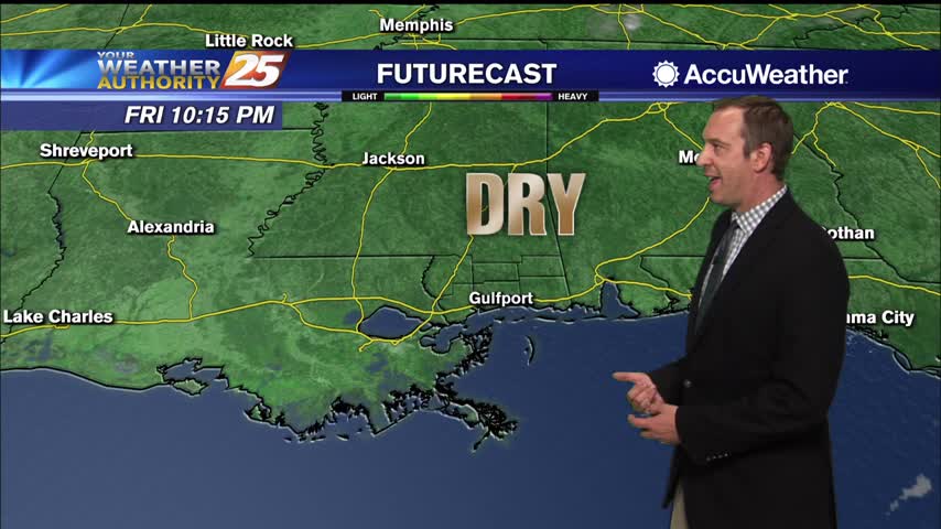
A textbook fall night lies ahead, but it will be slightly warmer than last night was....
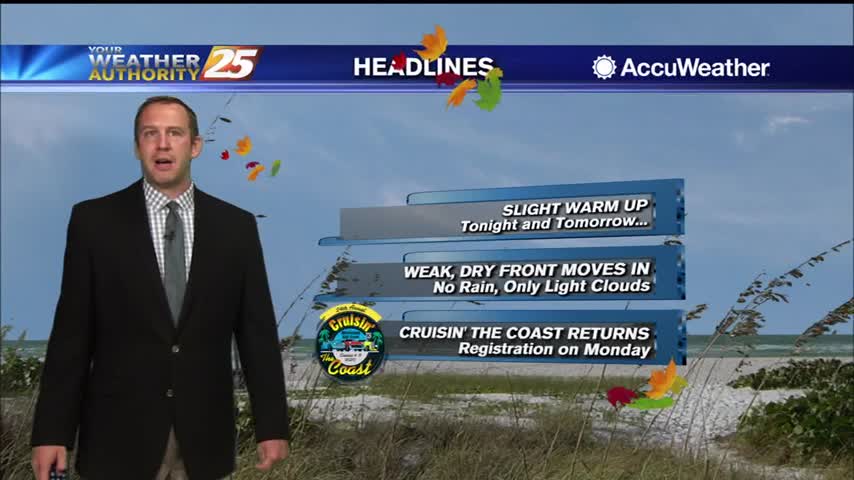
The fall weather continues, and even cooler, drier air is moving in again soon!
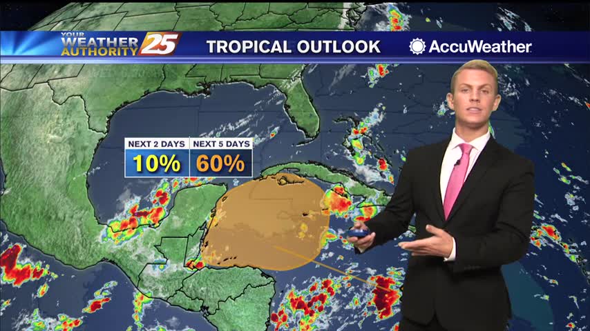
A reinforcing surge of dry cool air will move through the area Thursday night into Friday keeping these conditions through the weekend. This is when the next tropical disturbance is expected to initialize over the NW Caribbean. As this disturbance…
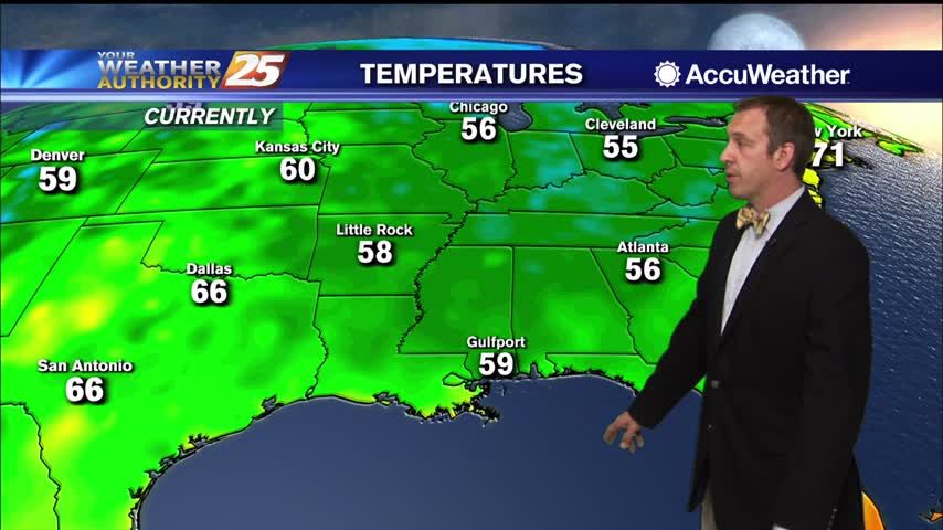
Fall weather has arrived a little late, but will stick around for over a week this time.
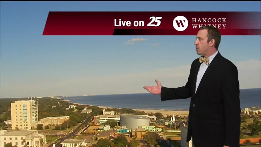
It may be a week late, but a long period of textbook fall-like weather has finally arrived!
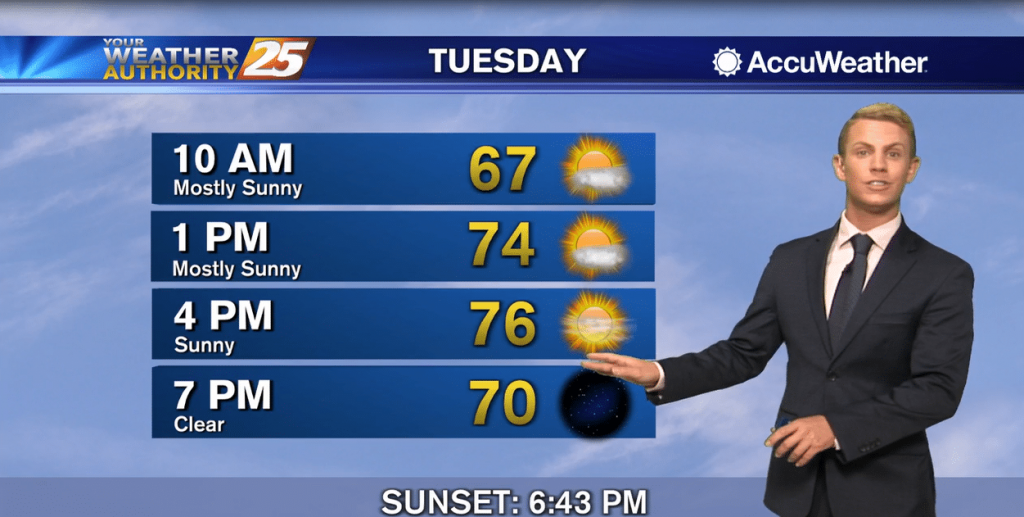
The cold front has progressed through much of the area at this time, leaving in its wake a northwesterly flow that will usher drier and cooler air into the region overnight tonight through the next couple of days. Dry weather…
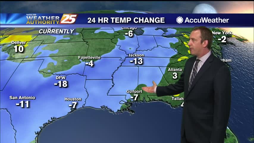
Significant fall-like weather arrives about a week late, but will linger for quite some time.

Cold front moving through will finally bring some significantly drier air, so fall-like weather is moving in soon!
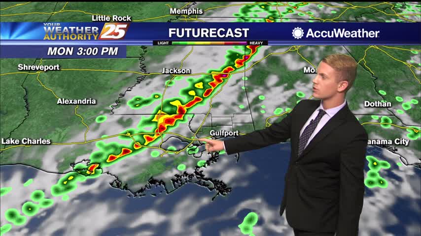
The first big cold front since last spring looks like it will be moving through the area Monday evening into Monday night. Weather models have been fairly consistent with timing of the cold front moving through by early Tuesday morning…
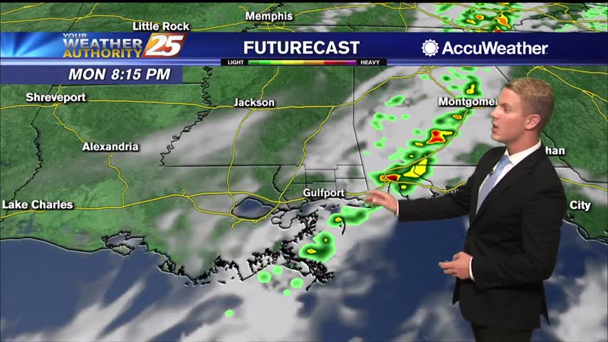
The first big cold front since last spring looks like it will be moving through the area Monday evening into Monday night. Weather models have been fairly consistent with timing of the cold front moving through by early Tuesday morning…
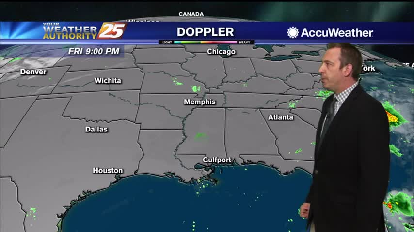
Saw some blue sky today after a cloudy start, leading to a nice weekend ahead, but it won't be long before cool, crisp weather moves in.
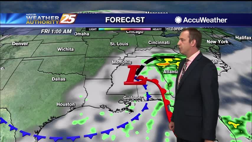
Clouds are finally clearing as cooler, drier air moves in, so get ready for some sunshine.
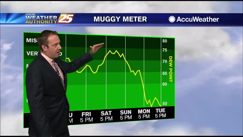
We've seen many cloudy skies this week, but drier, less humid weather is finally on the way!

What's left of Beta is slowly pushing inland and bringing more rainfall, cloudy skies, and gusty winds.

Beta's remnants are now post-tropical and drifting across the state, bringing more cloudy, rainy weather....
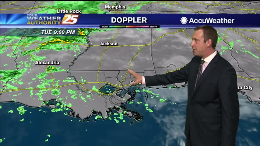
Beta has become non-tropical, but will still be responsible for days of rain in South MS.
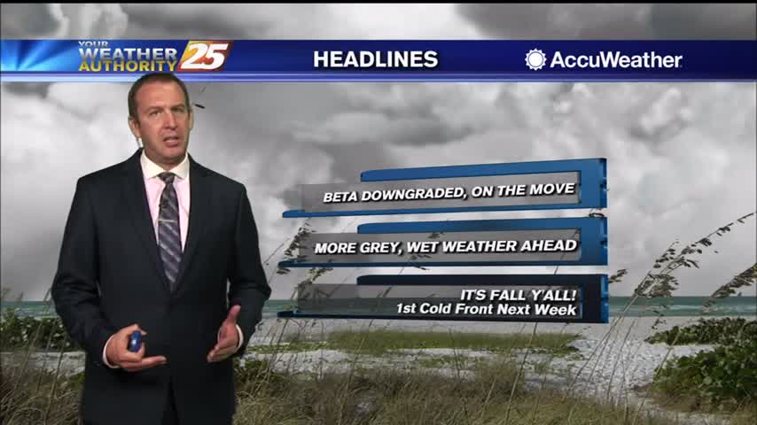
Didn't see much rain today, but more is on the way as Beta begins to drift our direction.
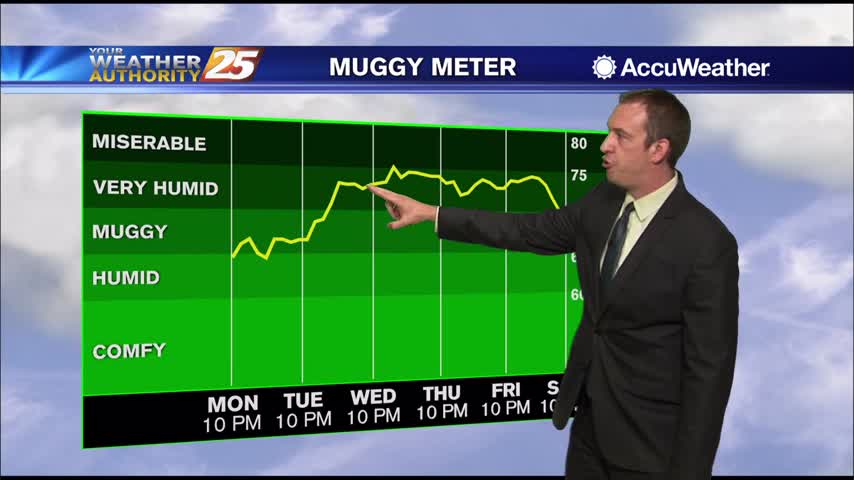
More light rain and cloud cover today, something we can expect to linger for the rest of the week.
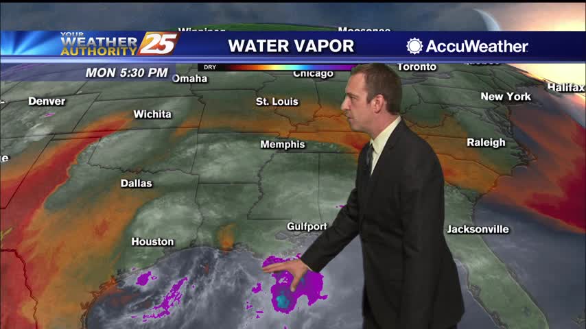
Light rain has persisted for the last few days, and ill continue for most of the rest of the week before any significant sunshine returns.